
Shot Tower State Park
116 Orphanage Dr., Max Meadows, VA 24360; Phone: 276-699-6778; Email: newrivertrail@dcr.virginia.gov
Latitude, 36.8684. Longitude, -80.8723.


Photos and video


Merchandise sales locations will be closed for the required annual inventory beginning Tuesday, April 15 and will reopen when completed on April 16.
Open fires are prohibited throughout the park from midnight to 4 p.m., now through April 30. Learn more.
The detour from Draper to Moose's Crossing has been removed, and this section of the trail is now open.
Closed without detours:
The following sections of the trail are closed without detours:
- From the low water bridge to Byllesby Dam.
- From Big Reed Trestle to Allisonia.
- From the Interstate 81 overpass to the south side of the 100 bridge. This closure is approximately from mile marker 4.5 where Interstate 81 passes over the trail to the south side of the 100 Bridge near Lowmans Ferry Rd.
Click here (PDF) for a map showing the current status. A map with the most recent update will be posted soon.Due to maintenance issues, the Shot Tower is closed for tours. The parking lot and restrooms remain available.
This content takes priority over any other information provided on this park's webpage.
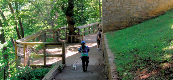
Shot Tower grounds are open dawn to dusk.
Tours are free and offered 10 a.m.-5 p.m. on scheduled days. Standard parking fee applies.
Tour Schedule:
April13-May 19: Saturday and Sunday
Memorial Day weekend to Labor Day: Friday-Sunday
Sept. 7 - Oct 27: Saturday-Sunday
Please review the Virginia State Parks Know Before You Go information before you visit.
General Information
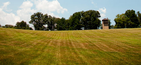
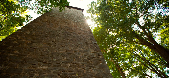
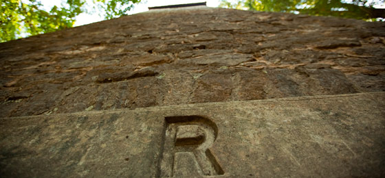
Overlooking the New River, Shot Tower was built more than 200 years ago to make ammunition for the firearms of the early settlers. Lead from the nearby Austinville Mines was melted in a kettle atop the 75-foot tower and poured through a sieve, falling through the tower and an additional 75-foot shaft beneath the tower into a kettle of water. Guests may ascend the tower, which is on the National Register of Historic Places. Interpretive signs provide details on the tower. Grounds are open from dawn until dusk. The parking lot is open year-round. The tower is open on scheduled days in the summer. Admission to the tower is free, however the daily parking fee applies. Group tours are also available. Call the office at 276-699-6778 for details.
Click here (PDF) for a brochure about the Shot Tower.
Hours
The grounds are open from Dawn to dusk.
Location
From I-77, take exit 24 and go north on Route 52 for two miles.
Drive Time: Northern Virginia, six and a half hours; Richmond, five hours; Tidewater/Norfolk/Virginia Beach: seven and a half hours; Roanoke, one and a half hours
Park Size
10 acres.
Share this page


Events, Programs
- 04/17/2025 - Driving Through History - Van Tour of the New River Trail (South End)
- 04/17/2025 - Bike Meet-up: “Redbud Ride” – Foster Falls to Ivanhoe
- 04/19/2025 - Wild Plants of SWVA Walk - Hiwassee
- 04/22/2025 - Earth Day Bird Count - Ivanhoe Birding Trail
- 04/24/2025 - Walk With A Ranger
- More events at this park.

At a Glance


