 Department of Conservation and Recreation
Conserve. Protect. Enjoy.
 Department of Conservation and Recreation
ConserveVirginia 3.0: Virginia's Land Conservation Strategy
ConserveVirginia was codified into law in 2021 (§ 10.1-104.6:1) as a key tool in guiding state investments for land conservation to ensure the highest conservation outcomes.
Virginia’s land conservation investments are essential to making the commonwealth a wonderful place to live and visit. Land and water conservation protects the places Virginians love, supports a high quality of life, and fosters economic growth and prosperity. In 2016, the Trust for Public Land reported that every $1 invested in land conservation returns $4 in economic value in natural goods and services in the form of improved air and water quality, carbon sequestration, and enhanced fish and wildlife habitat.
ConserveVirginia is a key tool in guiding those investments, providing a map of Virginia’s highest conservation value lands that are unprotected, based on 24 mapped data inputs. The ConserveVirginia map identifies more than 7 million acres of lands representing top priority conservation opportunities in the following categories:
Lands within ConserveVirginia that are acquired and/or put under easement, with assurances that their management will permanently conserve these values are considered ConserveVirginia successes. DCR staff use this ConserveVirginia Deed Review Criteria (updated November 16, 2021) to assess whether conservation values are fully protected. Properties that are deemed to be successes are then removed from the ConserveVirginia map, as they no longer need to be targeted for conservation.
Outdoor recreation, including access for underserved communities, is a critical component of the strategy. According to the Office of Outdoor Recreation, outdoor recreation contributes more than $21.9 billion to the economy and generates $1.2 billion in state and local tax revenues in Virginia. Identifying land conservation opportunities to expand recreational opportunities, on land and water, is a key consideration for conservation efforts across all ConserveVirginia categories. The Virginia ConservationVision Nature-Based Recreation Model is used to assess public access values of all land conservation projects, to place emphasis on providing outdoor recreation opportunities in areas where there is currently greatest need.
To create ConserveVirginia, the commonwealth’s highest value lands for conservation were identified by utilizing data from multiple sources including federal and state agencies, land trusts, non-profits and others. To learn more about the specific datasets used and in-depth category information, please review the full ConserveVirginia document.
To view detailed maps of ConserveVirginia and its priority categories, visit the Virginia Natural Heritage Data Explorer (NDHE).
View the demonstration video below that shows how to use ConserveVirginia in NHDE.
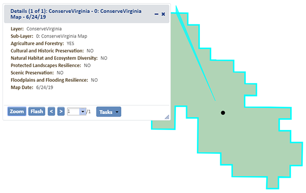
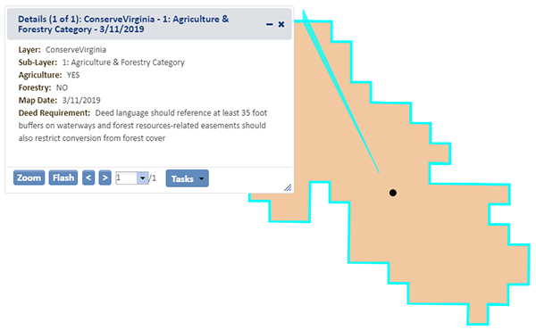
 ) above the map window, click the location of a potential conservation project in the ConserveVirginia Map to display which of the seven priority conservation values the project could protect.

How to cite this document:
"ConserveVirginia: Virginia’s Land Conservation Strategy, Version 3.0."
Available at
https://www.dcr.virginia.gov/conservevirginia
Office of the Governor, Commonwealth of Virginia, 2021. 20 p.p., including maps

