
 Department of Conservation and Recreation
Conserve. Protect. Enjoy.
 Department of Conservation and Recreation
Virginia’s working farms and forests, battlefields and other historic sites, natural areas, parks and rivers are critical to its economy, culture and quality of life. In 1999, the assembly and governor established the Virginia Land Conservation Foundation (VLCF) to fund protection of these resources. The interactive map below depicts VLCF-grant projects funded since 2000.
Last updated December 2024, to include projects awarded in FY25
| Name | Category | Grant Round | Acres | Locality | Management Agency | Owner | Applicant | Latitude | Longitude | Description |
|---|---|---|---|---|---|---|---|---|---|---|
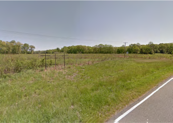
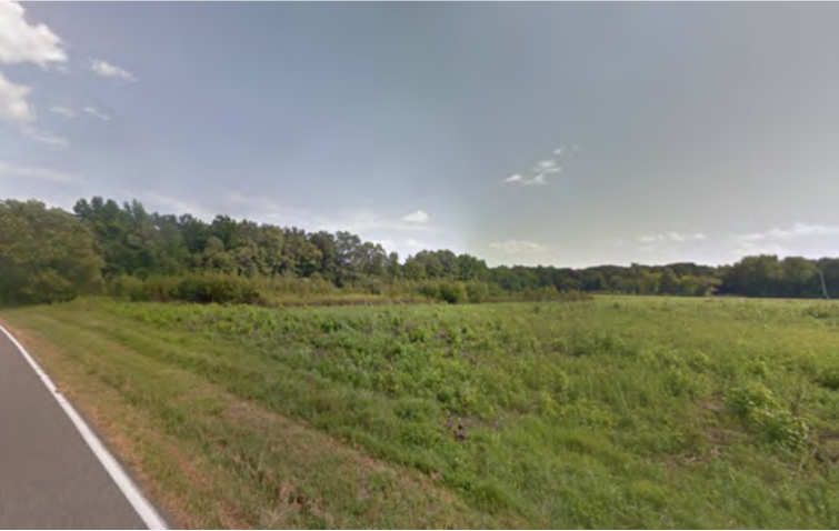
| 5270 New Market Road | Historic Area Preservation | FY23 | 40 | Henrico County | Virginia Board of Historic Resources | Private | Capital Region Land Conservancy | 37.405853 | -77.259840 | Capital Region Land Conservancy utilized VLCF funding to acquire 40 acres at Willis Church and New Market Roads in Henrico County. This property is conserved with a historic preservation and open-space easement held by the Board of Historic Resources that allows for the restoration of the landscape to its agricultural uses and prior battlefield conditions. The property is adjacent to National Park Service land and has significant road frontage along scenic Route 5 at a very visible intersection. This project preserves the approaches to the Richmond National Battlefield Park, and allows for an interpretation of the fighting that occurred on June 30 and July 1, 1862, when Major General Holmes arrived to cut off the Union Army’s approach to Richmond. https://capitalregionland.org/2024/03/little-malvern-hill/ |
  | ||||||||||
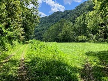
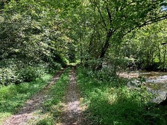
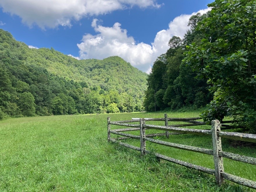
| Abrams Creek Property Addition to Mendota Trail | Open Spaces and Parks | FY24 | 220 | Washington County | Washington County | Local | Washington County | 36.678115 | -82.270437 | Washington County received VLCF funds to acquire and conserve 220 acres to become a county park open to the public. This project helps protect the nearby Mendota Trail ridgeline viewshed and will enhance recreational opportunities in this underserved area. The property includes over 4,200 feet of Abrams Creek - a significant tributary to the North Fork of the Holston River. The Property is about 2,000 feet downstream of Abrams Falls, a majestic 75-foot freefall waterfall. The Property consists primarily of Appalachian hardwoods with ridgetops over 2,060 feet. The lowest point on Abrams Creek is 1,420 feet. Ridges and valleys oriented in various directions provide a variety of aspect and diverse microclimates conducive to a broad array of terrestrial plants and animals. Partners include Washington County Government, Mendota Trail Conservancy, Washington County Park Authority, City of Bristol, and robust local support. |
   | ||||||||||
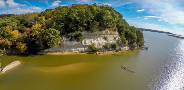
| Acquiring Rappahannock Tribe's Ancestral Homelands | Forestland Preservation | FY24 | 964 | Richmond County | Rappahannock Tribe of Virginia | Tribe | Rappahannock Tribe of Virginia | 38.079262 | -76.919584 | The Rappahannock Tribe received a VLCF grant to acquire 964 acres of ancestral homelands on the Rappahannock River at Fones Cliffs (Phase III) to conserve it as a natural area and use it for educational purposes befitting the Tribe and the public. The Conservation Fund purchased the property, which the former owner had rezoned as a golf course community, and will convey a conservation easement to the US Fish and Wildlife Service and fee title to the Tribe. The property contains a mile of river frontage and is the largest of the remaining unprotected riverfront ownerships within the Rappahannock River Valley National Wildlife Refuge boundary. This project will create 2,454 acres of contiguous conserved habitat along three miles of riverfront, within a high priority Refuge focus area. The forested areas of the property are an example of Northern Coastal Plain/Piedmont Mesic Mixed Hardwood Forest. The tract is immediately adjacent to property owned by the National Wildlife Refuge, which is in turn adjacent to Phases I and II of the Tribe’s project. |
  | ||||||||||
| Adam Thoroughgood House | Historic Area Preservation | FY09 | 4.29 | City of Virginia Beach | Virginia Department of Historic Resources | Local | City of Virginia Beach | 36.89304005 | -76.112266 | A $425,000 VLCF grant was awarded to the City of Virginia Beach to protect a 4-acre parcel of land adjacent to the Adam Thoroughgood House property, which is a National Historic Landmark as it is one of the earliest documented structures in the nation. The property holds the potential for significant archaeological resources and is now available for light passive recreational use. https://vbmuseums.org/museums/thoroughgood-house |
   | ||||||||||
| Altavista/English Area Park | Open Spaces and Parks | FY06 | 146.39 | Campbell County | Campbell County | Local | Campbell County Recreation Department | 37.11737057 | -79.309415 | Campbell County Recreation Department was awarded $75,000 in funding to assist in purchasing 146 acres, located on the scenic Staunton River, for development into a public park. The property is adjacent to the Staunton Riverfront Park. The acquisition contributed to preservation of a total of 167 acres along the Scenic River and provided picnic shelters, boat ramps and walking trails. https://www.campbellvirginia.com/business-directory/english-park |
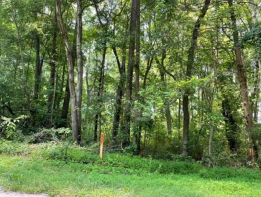
| Amelia & Associates LLC Tract at Boydton Plank Road Battlefield | Historic Area Preservation | FY23 | 11.72 | Dinwiddie County | Virginia Board of Historic Resources | Private | American Battlefield Trust | 37.144950 | -77.522829 | The American Battlefield Trust (ABT) received a VLCF grant to preserve the 11.72-acre Amelia & Associates LLC Tract in Dinwiddie County. ABT will acquire the property and the Virginia Board of Historic Resources will hold an open-space easement to protect the property's historic resources. The property is located entirely within the Boydton Plank Road Battlefield and the White Oak Road Battlefield. There are 1.39 acres of freshwater forested/shrub wetland, 9.06 acres of woods, and 225.9 feet of unnamed intermittent stream on the property. ABT plans to steward the tract as open space available to the public year-round for educational purposes. |
 | ||||||||||
| Antioch Pines NAP Addition | Natural Area Preservation | FY18 | 140 | Isle of Wight County | Virginia Department of Conservation and Recreation | State | Virginia Department of Conservation and Recreation | 36.83272144 | -76.840629 | DCR's Natural Heritage Program used a grant award of $419,900 to purchase approximately 140 acres in Isle of Wight County adjacent to the Antioch Pines Natural Area Preserve. The property shares a long common boundary with the existing Preserve and is especially important as a "smoke buffer" to support the active controlled burn program on the existing preserve. The property has approximately 8,549 feet of streams, and 13 acres of wetlands and supports common wildlife game species, and provides habitat for declining species, such as Northern Bobwhite. https://www.dcr.virginia.gov/natural-heritage/natural-area-preserves/antioch |
   | ||||||||||
| Antioch Pines NAP Addition (withdrawn) | Natural Area Preservation | FY17 | 75 | Southampton County | Virginia Department of Conservation and Recreation | State | Virginia Department of Conservation and Recreation | 36.82898695 | -76.858444 | DCR's Natural Heritage Program was awarded $118,650 for the fee simple acquisition of 75 acres at Antioch Pines Natural Area Preserve. This project was withdrawn. |
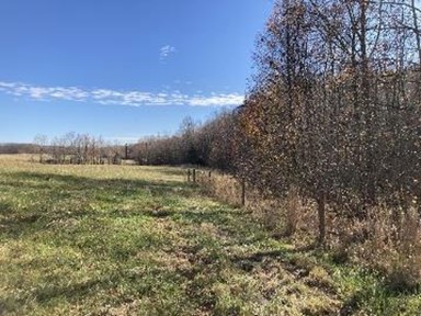
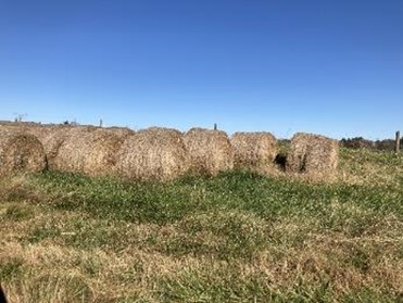
| AP Legacy, LLC Farm | Farmland Preservation | FY24 | 73.35 | Stafford County | Stafford County | Private | Stafford County | 38.296657 | -77.342687 | Stafford County received a VLCF grant to assist in the placement of an open-space easement on a Century Farm, the AP Legacy Farm. The easement will be held by Stafford County, under the County Purchase of Development Rights Program. The property totals 73.35 acres and the primary land use is hay production and keeping of livestock. The easement will protect 41.4 acres of prime farm soils and soils of statewide importance; 11.9 acres of mixed forestland; and environmental features including 7,120 linear feet of forested perennial streams, 3.5 acres of wetlands, and special flood hazard area. The property was the site of the Brunswick Parish Glebe, one of two 18th century glebes in Stafford, owned by Parson John Waugh (1630-1706). https://staffordcountyva.gov/news_detail_T5_R1000.php |
  | ||||||||||
| Appomattox River Conservation Area | Open Spaces and Parks | FY09 | 80 | Chesterfield County | Chesterfield County | 37.22135827 | -77.510905 | Chesterfield County was awarded a grant of $280,000 for the fee-simple acquisition of 80 acres along the Appomattox River for development as a new county linear park. The property is adjacent to the county's Appomattox River canoe launch and is part of the Lower Appomattox corridor. The corridor, which extends west from Petersburg six miles to the Brasfield Dam in Matoaca, is rich with historic, cultural, and natural resources for the tri-cities area. Part of the development of the park will include interpretation of these features and will allow for increased access to the river for fishing, development of trails and other recreation opportunities. https://www.chesterfield.gov/Facilities/Facility/Details/John-J-Radcliffe-Conservation-Area-440 | ||
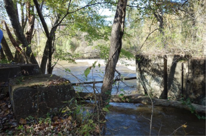
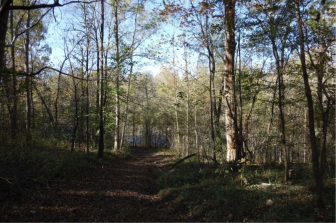
| Appomattox River Trail | Open Spaces and Parks | FY21 Round 1 | 7.90 | City of Petersburg | Friends of Lower Appomattox River | Private | Friends of Lower Appomattox River | 37.223617 | -77.436237 | Friends of the Lower Appomattox River (FOLAR) received VLCF funding to acquire an eight-acre tract with 0.4 miles of riverfront along a state designated Scenic River in Petersburg to complete the Appomattox River Trail. This project secured a critical gap in the developing 25-mile greenway trail system that spans the Tri-Cities Region, linking neighborhoods, vibrant areas of commerce, and tranquil forested riparian greenspace. Completing the Appomattox River Trail supports growth of the outdoor recreation industry and increases its beneficial impact on health and wellness in the region. The trail provides daily access for biking, walking and access to state waters for fishing, bank swimming and an informal rest site for paddlers. Increasing public greenspace and access to recreation and alternative transportation is invaluable in a region that ranks among the lowest in the state for health outcomes and is socially vulnerable. Project partners include FOLAR, the Virginia Outdoors Foundation, The Cameron Foundation and the City of Petersburg. https://folar-va.org/appomattox-river-trail/building-the-trail/ |
  | ||||||||||
| Arkfeld Farm | Farmland Preservation | FY12 | 200 | Clarke County | Clarke County Easement Authority | Private | Clarke County Easement Authority | 39.25249798 | -78.034138 | Clarke County Easement Authority was awarded a grant of $40,000 for the purchase of a conservation easement on 200 acres of Arkfeld Farm. This family farm is primarily used as a cow calf operation, and is used for crop, hay, and pasture production. The property has nearly one mile of riparian area along the Opequon Creek (an EPA designated impaired waterway). Matching funding included: NRCS Farm and Ranchland Protection program; landowner donation; Virginia Department of Agriculture and Consumer Services; Clarke County PDR program; and Piedmont Environmental Council land preservation trust. |
  | ||||||||||
| Aspen Grove Farm (withdrawn) | Open Spaces and Parks | FY16 | 85.89 | New Kent County | Virginia Department of Game and Inland Fisheries | 37.45889444 | -76.787308 | A $62,500 VLCF Grant was awarded to the Virginia Department of Game and Inland Fisheries to acquire the 85-acre Aspen Grove property in New Kent County. The property provides significant nesting, staging, and wintering habitat for migratory birds, and habitat for threatened and endangered species. This project was withdrawn. | ||
| Avalon Land, LLC | Farmland Preservation | FY26 | 81.29 | Nelson County | The Land Trust of Virginia | Private | Land Trust of Virginia | -78.785632 | 37.643887 | The Land Trust of Virginia received $121,750 in VLCF funding for the permanent conservation of 81.29 acres of productive farmland in Nelson County. Situated along the James River directly across the river from James River State Park, the property features 3,213 feet of river frontage and will implement 100-foot forested buffers protecting water quality, habitat and the riverbank from future erosion. The property is characterized by exceptional soil quality, with 99.36% of the acreage is classified as prime farmland, according to the USDA Natural Resources Conservation Service's Web Soil Survey. |
   | ||||||||||
| B Williams and Co Store | Historic Area Preservation | FY09 | 0.85 | Mathews County | Virginia Department of Historic Resources | Private | Mathews County Land Conservancy | 37.40413577 | -76.345257 | A grant award of $345,000 helped Mathews County Land Conservancy acquire the nearly one-acre Williams and Co. Store property. The property, which is eligible for individual listing in the Virginia Landmarks Register, is adjacent to the 0.4 acre Williams Wharf in Mathews, and the two properties will be combined for use as a museum. The B. Williams and Co. Store property was placed under easement with the Department of Historic Resources following acquisition. https://www.mathewslandconservancy.org/b-williams-store |
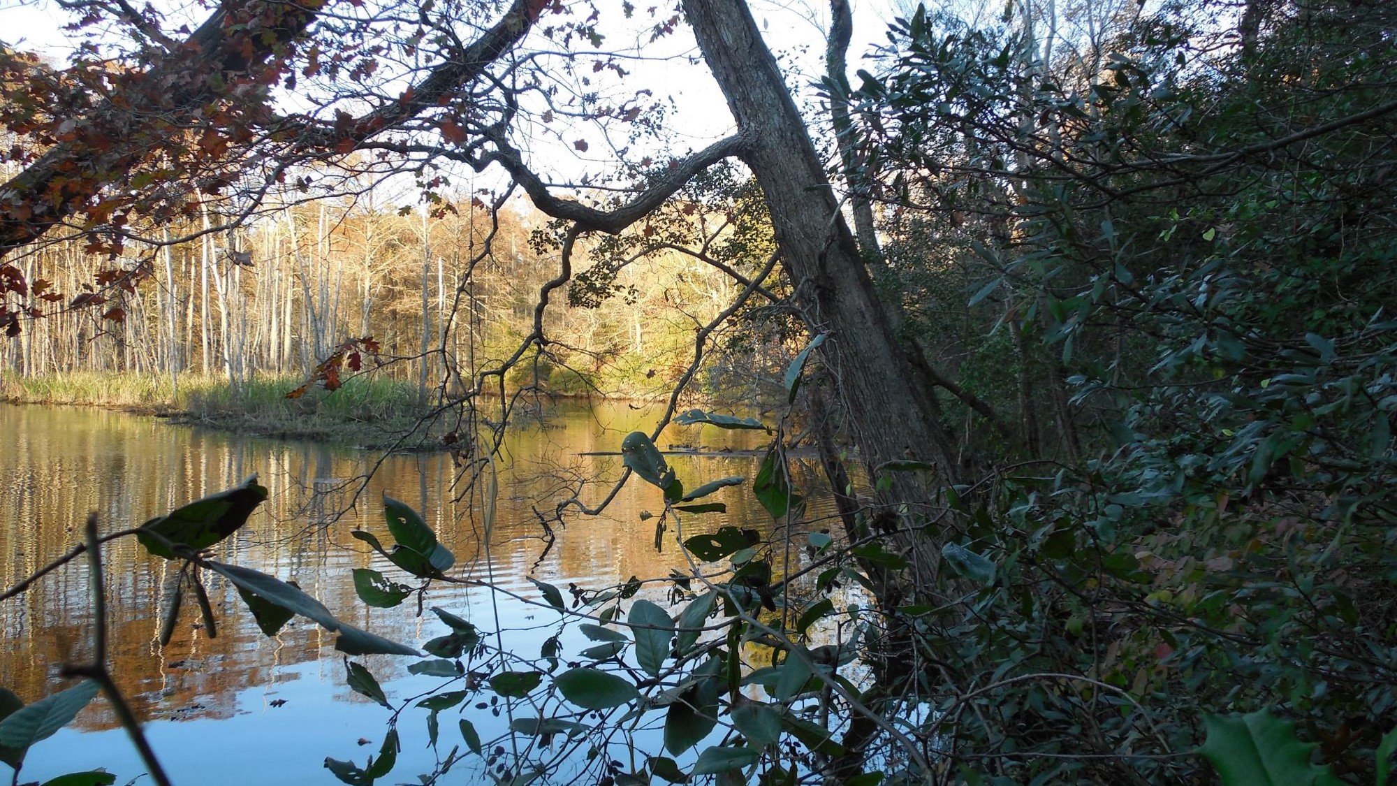
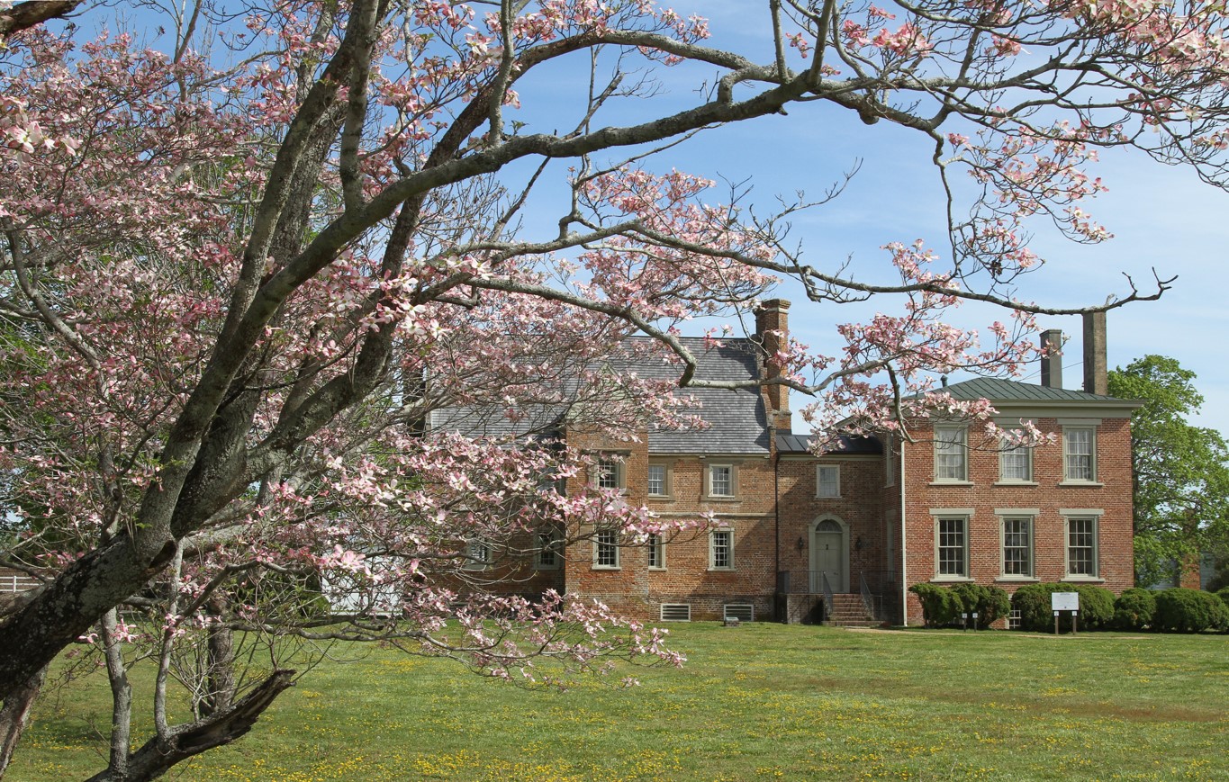
| Bacon's Castle Farm - Surrounding Farmland | Farmland Preservation | FY15 | 1260 | Surry County | Virginia Outdoors Foundation | Private | Virginia Outdoors Foundation | 37.11776569 | -76.728764 | Virginia Outdoors Foundation received VLCF funding to purchase a conservation easement on 1,260 acres of privately owned land known as Bacon's Castle Farm in Surry County. The historic Bacon's Castle house (c. 1665, listed as a national Historic Landmark) and 40 acres are owned by Preservation Virginia and are surrounded by this 1,260 acre property, which is contiguous to Chippokes State Park and 2.75 miles of Lower Chippokes Creek. The farm provides sweeping views for the traveling public with over two miles of road frontage along state roads. Protecting this large contiguous farm property will ensured it is permanently protected from residential and commercial development. This project was awarded a grant of $257,996 and matching funds were contributed by NRCS Farm and Ranchlands Protection Program and the Open Space Lands Preservation Trust Fund. https://surrycountytourism.com/165/Bacons-Castle |
   | ||||||||||
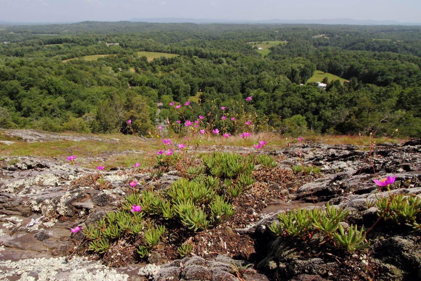
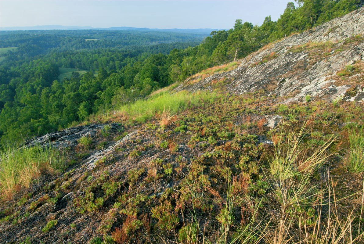
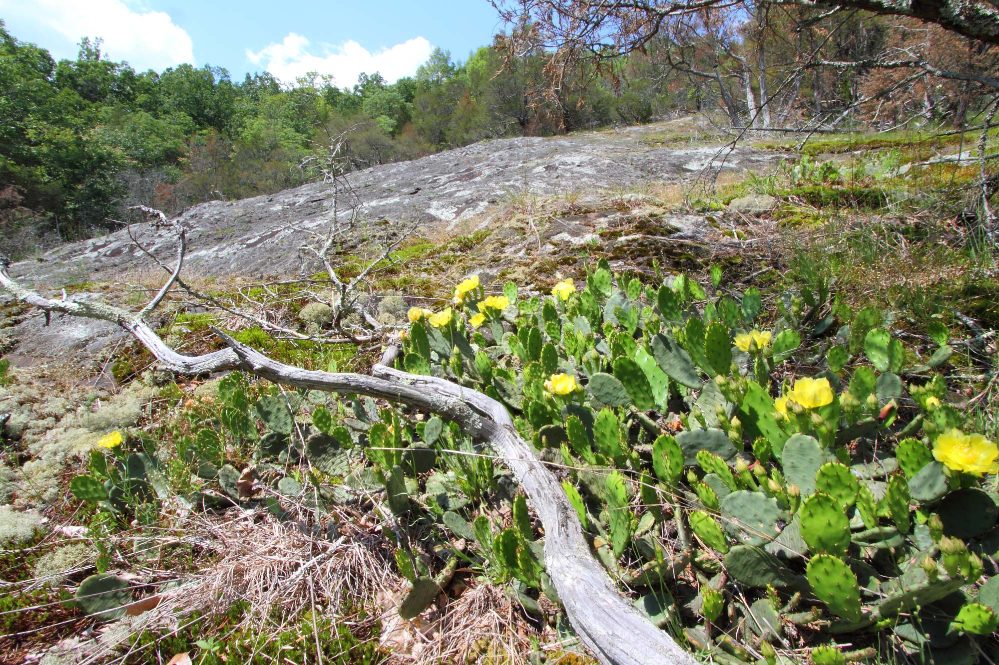
| Bald Knob NAP | Natural Area Preservation | FY15 | 78 | Franklin County | Virginia Department of Conservation and Recreation | State | Virginia Conservation Legacy Fund | 37.00113033 | -79.873407 | This spectacular natural landmark in the town of Rocky Mount is distinctive for its rock outcrop vegetation and habitat for several rare species and significant natural communities. Open herbaceous vegetation and lichen-covered bedrock prevail over several acres. During the spring, the wildflower display is fantastic and many people climb the hill to enjoy the view and the solitude. Among the rarities found here is the Piedmont Fameflower, Phemeranthuspiedmontanus, which is known only from Bald Knob, two other sites in Franklin County and two sites in northern North Carolina. The Virginia Conservation Legacy Fund purchased approximately 78 acres with the assistance of the VLCF grant award of $320,585, and donated the Bald Knob property to the Department of Conservation and Recreation's Division of Natural Heritage. https://www.dcr.virginia.gov/natural-heritage/natural-area-preserves/baldknob |
   | ||||||||||
| Ballenger Creek Nature Preserve | Open Spaces and Parks | FY22 | 73 | Fluvanna County | Virginia Outdoors Foundation | Private | Tadpole Land and Trail Conservancy | 37.858213 | -78.244995 | In July 2021, Tadpole Land and Trail Conservancy (TLTC) purchased 76 acres along Ballenger Creek in Fluvanna County to create Ballenger Creek Nature Preserve. The land is covered in forest and recovering forest, with a diversity of hardwood trees, shrubs, wildflowers and ferns and contains several attractive cliffs covered with mountain laurel. TLTC has placed 73 acres of this property in a conservation easement with Virginia Outdoors Foundation to conserve the land, prohibit timber harvesting, and provide public access and trails. TLTC plans to build trails, parking lots, information kiosks, and plant and habitat interpretive signs. |
   | ||||||||||
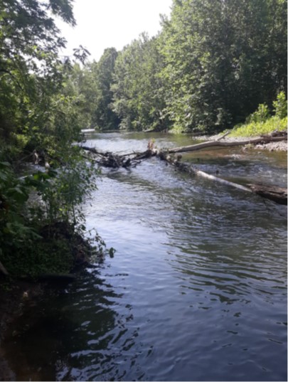
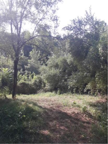
| Basic Park - Natural Area (withdrawn) | Open Spaces and Parks | FY22 | 44.20 | City of Waynesboro | City of Waynesboro | Local | City of Waynesboro | 38.082678 | -78.870568 | The City of Waynesboro received a VLCF grant to acquire 44 acres adjacent to Basic Park and South River. The project was intended to create a natural area for the public to enjoy nature and wildlife. The forested parcels offer numerous trails for hiking, wildlife viewing and river access for fishing, paddling and bank swimming in the South River. The project would protect vegetative buffers along 1,100 feet of the South River’s banks, safeguarding the viewshed from this Virginia Scenic River. Steele Run also passes through this property and approximately 2,500 linear feet of riparian buffer are protected from development. This project was withdrawn. |
  | ||||||||||
| Beaver Dam Legacy, LLC | Farmland Preservation | FY25 | 138.32 | Loudoun County | Virginia Outdoors Foundation | Private | Virginia Outdoors Foundation | 39.015031 | -77.801588 | An easement on the 138 acres owned by Beaver Dam Legacy, LLC will permanently protect the agricultural viability of this farm, which is adjacent to three properties protected by VOF easements and within one mile of nearly 1,700 acres of protected land. The property fronts Beaverdam Creek, a tributary of Goose Creek, for 2,800 feet and contains a dwelling, barn and several outbuildings eligible for listing in the Virginia Landmarks Register and the National Register of Historic Places, which are also contributing structures to the Unison Battlefield Historic District. The property is bisected by, and the historic buildings are visible from, Newlin Mill Road, part of the Beaverdam Creek Historic Roadways District. Loudoun County designated these roadways to help preserve these mostly rural, unpaved roads that represent historical connections among farms, families, and markets that have changed very little since the county was formed. |
  | ||||||||||
| Bell House | Historic Area Preservation | FY18 | 0.68 | City of Winchester | Virginia Department of Historic Resources | Private | Shenandoah Valley Battlefields Foundation | 39.18442363 | -78.163364 | The Shenandoah Valley Battlefields Foundation received a VLCF grant for $209,996 to protect a 0.68-acre lot located in the City of Winchester. The parcel lies within the core area of the Third Winchester (Opequon) Battlefield (1864) and is within the study area of three additional Civil War Battlefields: First Winchester (1862), Second Winchester (1863), and Second Kernstown (1864). In addition to its Civil War history, the property is distinguished by a historically significant 19th century Federal style dwelling that is a contributing resource to the Winchester Historic District, which is listed on the Virginia Landmarks Register and National Register of Historic Places. The dwelling, known as the "Bell House" was present at the time of the battle. Grounds on the property are open to the public on a daily basis for self-guided tours while the dwelling is utilized for educational purposes, events and conferences. The project protects an architecturally and historically significant site while also providing public access and encouraging heritage tourism. https://www.shenandoahatwar.org/events/bell-house-tour |
 | ||||||||||
| Belmont Bay Farm (withdrawn) | Open Spaces and Parks | FY13 | 115 | Fairfax County | Northern Virginia Conservation Trust | 38.66936871 | -77.215173 | Northern Virginia Conservation Trust proposed protecting a 115-acre forested parcel, located on Mason Neck in southeast Fairfax County with the assistance of a grant award of $250,000. The property is part of the last remaining 400-acre expanse of forest and farmland under private ownership of Mason Neck, and one of only two unprotected properties of this size remaining in Fairfax County. Surrounded by over 6,500 acres of publicly owned open space and private conservation easements, the property provides a critical wildlife corridor, including habitat for bald eagles and migratory birds, protects several streams that feed Belmont Bay and the Potomac River, and provides a scenic view from Mason Neck State Park directly across Belmont Bay. This project was withdrawn. | ||
| Big Woods (FY09) | Forestland Preservation | FY09 | 1,286.43 | Sussex County | Virginia Department of Game and Inland Fisheries | State | Virginia Department of Game and Inland Fisheries | 36.95731482 | -77.05195 | A grant award of $550,000 to Department of Game and Inland Fisheries assisted in the acquisition of a portion of the Big Woods tract in Sussex County to establish a new wildlife management area. This parcel is valuable to the long-term recovery of the Federally endangered red-cockaded woodpecker, found on the adjacent 2,700 acre Piney Grove Preserve. Acquisition of the property by DGIF provides for sustainable wildlife, forest management, and public access. https://dwr.virginia.gov/vbwt/sites/big-woods-wildlife-management-area/ |
| Big Woods Project (FY07) | Forestland Preservation | FY07 | 4,192.95 | Sussex County | Virginia Department of Forestry | State | Virginia Department of Forestry | 36.9429228 | -77.052445 | The grant award of $300,000 to Virginia Department of Forestry assisted in the acquisition of a portion of the Big Woods property in Sussex County to create the first state forest in southeastern Virginia. The project conserves a disappearing feature of Virginia's coastal landscape - large, contiguous blocks of timberland. In addition, the property provides forests that will assist in the recovery efforts of the federally listed threatened and endangered Red-cockaded Woodpecker, found on the adjacent conserved property to the north. Big Woods protects the water supply for the Norfolk area, provides flood abatement to the Nottoway and Blackwater watersheds, and provides a very significant block of working forest. https://dof.virginia.gov/education-and-recreation/state-forests/virginia-state-forests/big-woods/ |
| Black Farms Property | Farmland Preservation | FY05 | 222 | Northampton County | The Nature Conservancy | Private | The Nature Conservancy | 37.257257 | -75.982202 | A $400,000 grant was awarded to The Nature Conservancy to place a conservation easement on the Joe Black farm in Northampton County consisting of 222 acres, with 133 irrigated, active acres producing high value potatoes, corn, and beans. In addition, this easement protects 75 acres of riparian and upland forest, which provides critical habitat for a diversity of wildlife, most notably migrating birds. The property fronts Old Plantation Creek and Route 13 and lies within the Resource Preservation Area (Chesapeake Bay) or Resource Management Area as designated by the Northampton County Comprehensive Plan. The VLCF Grant was matched by a $650,000 grant from the NRCS Farm and Ranch Lands Protection program. |
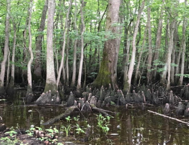
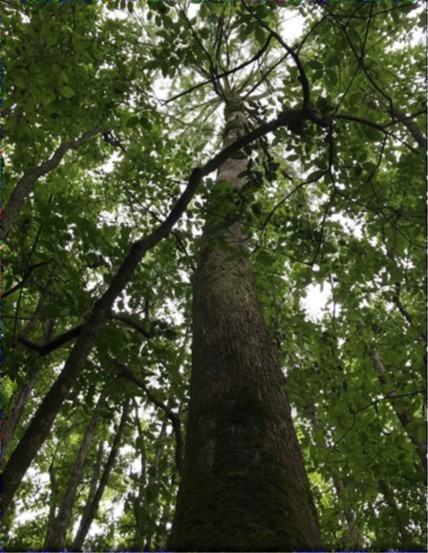
| Blackwater Conservation Acquisition (FY21 Round 1) | Open Spaces and Parks | FY21 Round 1 | 203 | City of Franklin | City of Franklin | Local | City of Franklin | 36.701002 | -76.933484 | The City of Franklin, in partnership with the Virginia Outdoors Foundation (VOF), received two VLCF grants (FY2021 - $375,000; FY2021 Round II - $168,500) to acquire 203 acres of prime river frontage on the state scenic Blackwater River to create a trailhead on the Blue Water Trail that terminates at the River Park in downtown Franklin. It contains old growth hardwood bottomlands and contains forestlands that rank high and very high in Forest Conservation Value. The tract sits at the intersection of two Natural Heritage sites, the Blackwater River Main Stem Conservation site, and the Antioch Swamp Stream Conservation unit, as well as within the TNC Chowan Sandridge/Blackwater River Terrestrial Portfolio. This site supports several rare species and significant natural communities including anadromous fish and colonial water birds (Audubon). The City of Franklin was also awarded federal funding for the purchase of this tract to create a new public park with access to the Blackwater River. |
  | ||||||||||
| Blackwater Conservation Acquisition (FY21 Round 2) | Open Spaces and Parks | FY21 Round 2 | 203 | City of Franklin | City of Franklin | Local | City of Franklin | 36.700993 | -76.933471 | The City of Franklin, in partnership with the Virginia Outdoors Foundation (VOF), received two VLCF grants (FY2021 - $375,000; FY2021 Round II - $168,500) to acquire 203 acres of prime river frontage on the state scenic Blackwater River to create a trailhead on the Blue Water Trail that terminates at the River Park in downtown Franklin. It contains old growth hardwood bottomlands and contains forestlands that rank high and very high in Forest Conservation Value. The tract sits at the intersection of two Natural Heritage sites, the Blackwater River Main Stem Conservation site, and the Antioch Swamp Stream Conservation unit, as well as within the TNC Chowan Sandridge/Blackwater River Terrestrial Portfolio. This site supports several rare species and significant natural communities including anadromous fish and colonial water birds (Audubon). The City of Franklin was also awarded federal funding for the purchase of this tract to create a new public park with access to the Blackwater River. |
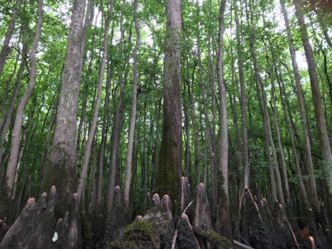 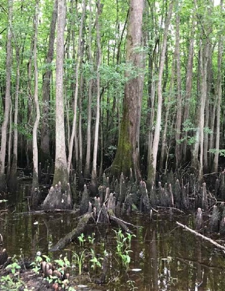 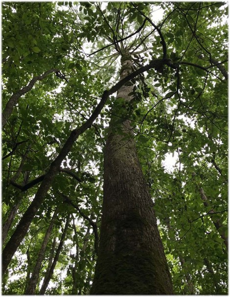 | ||||||||||
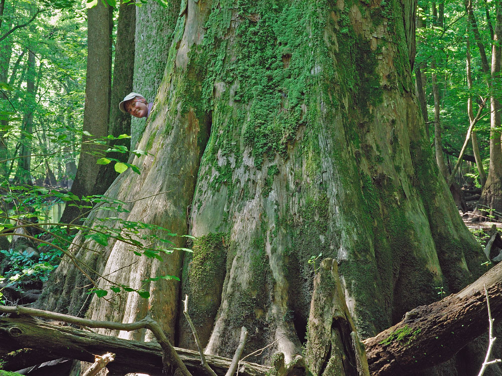
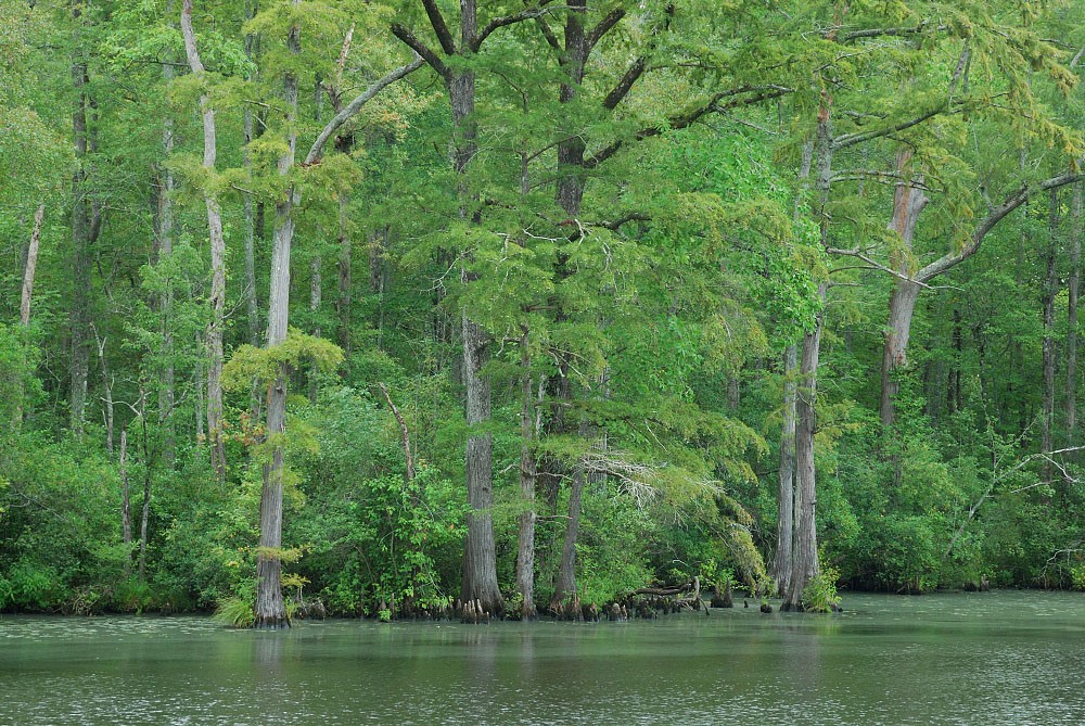
| Blackwater River Old Growth Phase II | Natural Area Preservation | FY09 | 1847.98 | Isle of Wight County | Virginia Department of Conservation and Recreation/Virginia Department of Forestry | Local | The Nature Conservancy | 36.93 | -76.83 | The Nature Conservancy was awarded a grant of $166,305 for the fee simple acquisition of this property by Isle of Wight County. It is now protected by an open-space easement jointly held the the Department of Conservation and Recreation and the Department of Forestry, which protects the old-growth swamp forest of bald-cypress and tupelo and contributes to restoration of globally rare longleaf pines, and which supports the federally endangered Red-cockaded woodpecker. The acquisition also contributes to protection of drinking water for over 700,000 residents in the Norfolk metro area, including Department of Defense installations. https://www.dcr.virginia.gov/natural-heritage/natural-area-preserves/blackwatersandhills |
 | ||||||||||
| Blackwater River Park and South Quay Sandhill NAP (withdrawn) | Natural Area Preservation | FY20 | 338 | City of Suffolk | Virginia Department of Conservation and Recreation / City of Suffolk | Local | City of Suffolk | 36.607841 | -76.906384 | The City of Suffolk received VLCF funding to acquire an undeveloped 338-acre property adjacent to the Blackwater River and the South Quay Sandhills Natural Area Preserve. Upon acquisition, the city intends to subdivide the property and transfer approximately 200 acres to DCR to expand the preserve. The city intends to develop the remaining 138 acres into a public park with paddle craft access to the Blackwater River. This project was withdrawn. |
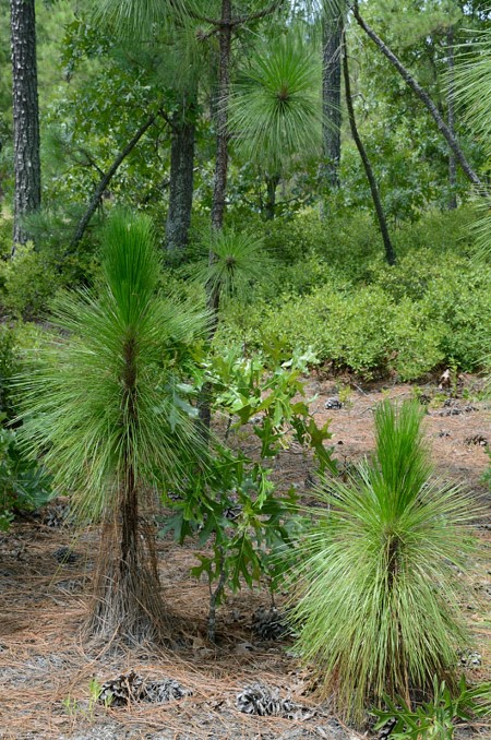  | ||||||||||
| Blackwater Scenic River Corridor Protection (withdrawn) | Open Spaces and Parks | FY18 | 164.5 | Isle of Wight County | Virginia Department of Conservation and Recreation | 36.83851189 | -76.853487 | DCR's Natural Heritage Division received a grant award of $57,761 to protect two miles of river frontage along the east bank of the Blackwater River, a state designated Scenic River. When combined with the adjacent, existing Antioch Pines Natural Area Preserve in Isle of Wight County, nearly five contiguous miles of river frontage viewshed along the east bank of the River would be protected. About half of the tract is an upland sandy soil ridge, which would be restored to longleaf pine as part of an ongoing partnership between DCR, DOF and several other agencies and organizations. This project was withdrawn. | ||
| BLD Farms Rose Hill | Forestland Preservation | FY13 | 241.91 | Southampton County | Virginia Department of Forestry | Private | Virginia Department of Forestry | 36.71912943 | -77.319393 | The Virginia Department of Forestry (DOF) received a grant award of $62,000 for the partial purchase of a conservation easement on 242 acres of forestland approximately one-half mile west of Drewryville in Southhampton County. Most of the property is covered in working forestland, almost half of which is classified as having high forest conservation value by DOF. The property includes approximately 3,500 feet of Three Creek and 1,700 feet of Nicholson Creek, tributaries of the Nottoway River, maintaining water quality for downstream communities that use the river as a potable water source. The property contains two natural heritage resources as confirmed by Natural Heritage Division (DCR-NH) ecologists, and is part of an area designated by DCR-NH as the Three Creek Stream Conservation Unit. |
   | ||||||||||
| Bluebell Tract (withdrawn) | Natural Area Preservation | FY20 | 1410 | Powhatan County | Capital Region Land Conservancy | Private | Capital Region Land Conservancy | 37.481826 | -78.033321 | The tract encompasses approximately 1,410 acres along the Appomattox River in Powhatan County. It was recently acquired by private investors for the purpose of preserving forestland, implementing carbon sequestration, and establishing outdoor recreation and public access to the river. This project was withdrawn. |
  | ||||||||||
| Boxerwood Easement | Historic Area Preservation | FY16 | 15.46 | Rockbridge County | Virginia Department of Historic Resources | Private | The Boxerwood Education Association | 37.77649906 | -79.464454 | The Boxerwood Education Association, which currently owns the 15.46-acre Boxerwood Nature Center and Woodland Garden near Lexington, was awarded a grant of $50,000 for a partial purchase of a conservation easement that is now held by the Virginia Department of Historic Resources. The property contains a historic house that is listed on the National and Virginia Historic Registers. The nature center is open to the public as an outdoor classroom in support of educational programs in the Rockbridge County, Lexington, and Buena Vista Public School systems. The Brushy Blue Trail System, which will link the Brushy Hills area to Lexington, Buena Vista, and the Blue Ridge Parkway, is planned to be constructed across the property. https://www.dhr.virginia.gov/press-release-posts/preservation-easement-on-boxerwood-nature-center-and-woodland-gardens-aug-2018/ |
   | ||||||||||
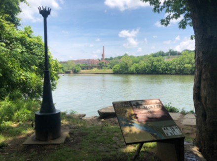
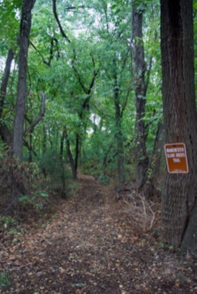
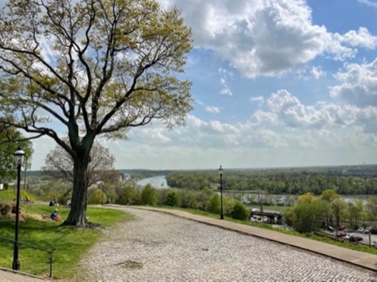
| Brander Street | Open Spaces and Parks | FY22 | 6.29 | City of Richmond | Capital Region Land Conservancy | Private | Capital Region Land Conservancy | 37.523697 | -77.424538 | Capital Region Land Conservancy, in partnership with the City of Richmond, is seeking to acquire six acres located along the south bank of the James River adjacent to Ancarrow’s Landing. The property is across the river from Great Shiplock Park and is currently owned by Norfolk Southern and zoned for industrial use. The Richmond Riverfront Plan and James River Park Master Plan call for this property to become part of the city’s James River Park, as the path of the Richmond Slave Trail crosses the extent of it. |
   | ||||||||||
| Brandy Rock Farm I Tract at Brandy Station Battlefield | Historic Area Preservation | FY24 | 100 | Culpeper County | Virginia Board of Historic Resources | Private | American Battlefield Trust | 38.535746 | -77.889943 | The Trust seeks to preserve the 100-acre Brandy Rock Farm I Tract in Culpeper County via an open-space easement to be held by the Virginia Board of Historic Resources. The Brandy Rock Farm I Tract is unimproved and located entirely within the Core area of the Brandy Station Battlefield, a Priority I.3 (Class B) battlefield as defined by the 1993 Civil War Sites Advisory Commission Report on the Nation's Civil War Battlefields. The Brandy Rock Farm I Tract is part of a larger 539-acre tract that is currently in active agricultural use. The subject property includes 82 acres of open farming area, 9 acres of woods, 0.58 acres of freshwater emergent wetlands, and 1,084 feet of unnamed intermittent streams. Working with the landowner (who will retain fee simple ownership), the Trust will execute and record an easement that maintains the tract's agricultural productivity, preserves its natural and historic resources, and protects the viewsheds of both the Brandy Station Battlefield and the nearby Culpeper Battlefields State Park. |
| Brandy Rock Farm Tract at Brandy Station Battlefield | Farmland Preservation | FY26 | 225.80 | Culpeper County | Virginia Board of Historic Resources | Private | American Battlefield Trust | -77.915530 | 38.549724 | The American Battlefield Trust received $636,405 in VLCF funding to preserve the 226-acre Brandy Rock Farm tract in Culpeper County through the purchase and recordation of an open-space easement to be held by the Virginia Board of Historic Resources (VBHR). The property includes 122 acres in the study area of the Brandy Station Battlefield, designated a Priority I.3 (Class B) site in the Civil War Sites Advisory Commission Report. This property is part of a larger 1,600-acre working farm, and includes 55 acres of forest, two acres of wetlands, a one-acre pond, and 3,563 feet of intermittent streams. A separate 100-acre portion of Brandy Rock Farm previously received a VLCF grant and is under easement with VBHR. This new easement will be completed with the same landowner who will retain fee simple ownership, and will protect the property's agricultural productivity, conserve its natural and historic resources, and preserve the scenic viewsheds of both the Brandy Station Battlefield and nearby Culpeper Battlefields State Park. |
  | ||||||||||
| Brandy Station (FY00-FY01) | Historic Area Preservation | FY00-01 (Civil War Battlefield Grant) | 570 | Culpeper County | Private | 38.53053358 | -77.865986 | A $2,100,000 grant was awarded to a private non-profit organization to acquire 570 acres of threatened Civil War Battlefields. The grant was used as match for a Land and Water Conservation Fund grant under the American Battlefield Protection Program for Civil War Battlefield Land Acquisition, awarded by the National Park Service. | ||
| Brandy Station (FY05) | Historic Area Preservation | FY05 | 18.9 | Culpeper County | Virginia Department of Historic Resources | Brandy Station Foundation | 38.50639696 | -77.884047 | A $362,400 grant was awarded to Brandy Station Foundation to facilitate the acquisition of 18.9 acres of land in Culpeper County near Fleetwood Hill, the site of some of the heaviest fighting of the afternoon phase of the Battle of Brandy Station. The property was purchased from a developer who had already obtained building permits for a residential development that would have destroyed the historic and scenic value of the property. The property is now instead open to the public with signage, interpretive displays, and brochures, an interpretive walking path, and a visitor center. | |
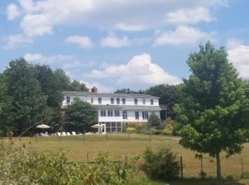
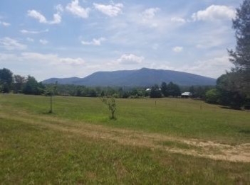
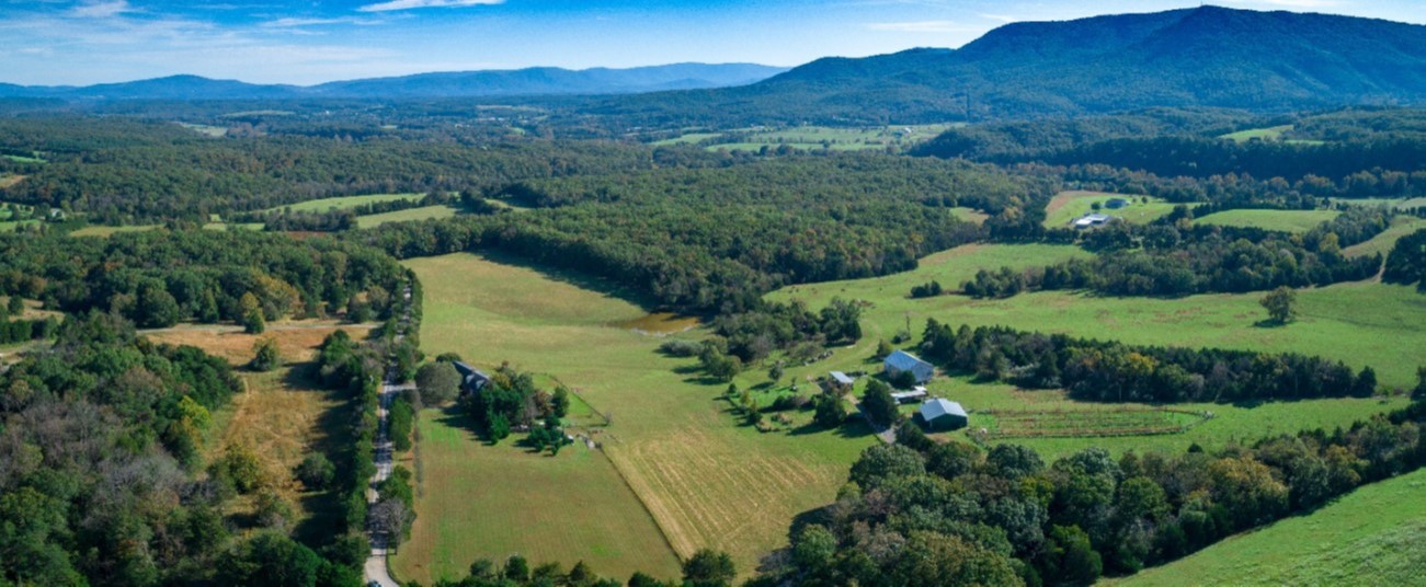
| Brill | Historic Area Preservation | FY21 Round 1 | 74.00 | Warren County | Shenandoah Valley Battlefields Foundation | Private | Shenandoah Valley Battlefields Foundation | 38.99551 | -78.32013 | Shenandoah Valley Battlefields Foundation (SVBF) received a VLCF grant to acquire the 74-acre Brill property in Warren County, which intersects the Cultural and Historic Preservation, Protected Landscapes Resilience, and Water Quality Improvement categories of ConserveVirginia. The property is entirely within the core area of the Cedar Creek Battlefield, the boundary of the Cedar Creek and Belle Grove National Historical Park, and The Shenandoah Valley Battlefields National Historic District. The center of Confederate General Joseph Kershaw’s early morning attack that began the Battle of Cedar Creek on October 19, 1864, was centered on the Brill property. Currently the property is surrounded by 472 previously conserved acres. Conservation of this property creates a 546-acre preserve with trail access across the entire property, linking an existing trail to parts of the battlefield that were previously not accessible. |
   | ||||||||||
| Brocks Gap Natural Area Preserve | Natural Area Preservation | FY23 | 244.00 | Rockingham County | Virginia Department of Conservation & Recreation - Division of Natural Heritage | State | Virginia Department of Conservation & Recreation - Division of Natural Heritage | 38.635291 | -78.866463 | DCR’s Natural Heritage Division seeks $670,000 to protect 244 contiguous acres along the North Fork of the Shenandoah River in Rockingham County that falls within one of the state’s most significant ecological cores. This project is located in one of Virginia’s essential conservation sites and will establish a new Natural Area Preserve. The property features Virginia’s largest and best example of globally rare Northern White Cedar Forest, as well as a population of state threatened Wood Turtles. The site lies along the North Mountain fault; a major geologic boundary defining the edge of the Shenandoah Valley. The tracts intersect four categories of ConserveVirginia and although the Cultural and Historic layer is not one of these, a pitched battle took place here on October 6, 1864, between General George Custer’s cavalry division and that of Confederate General Thomas Rosser, known as the Battle of Brock’s Gap. |
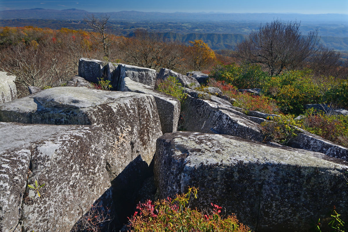
| Brumley Mountain (FY06) | Forestland Preservation | FY06 | 1600 | Washington County | Virginia Department of Forestry | State | Virginia Department of Forestry | 36.8542863 | -81.97585 | A grant award of $1,200,000 was made to Virginia Department of Forestry to purchase one third of the Brumley Mountain Property from The Nature Conservancy. This 4,800-acre property lies between two Game and Inland Fisheries Management Areas. The property protects a key intact forest on the crest of Clinch Mountain in Washington County, and includes a series of unusual rock crevices called the Great Channels of Virginia. This area is a migratory stop for rare Cerulean warblers as well as many raptor species. https://dof.virginia.gov/education-and-recreation/state-forests/virginia-state-forests/channels-state-forest/ |
 | ||||||||||
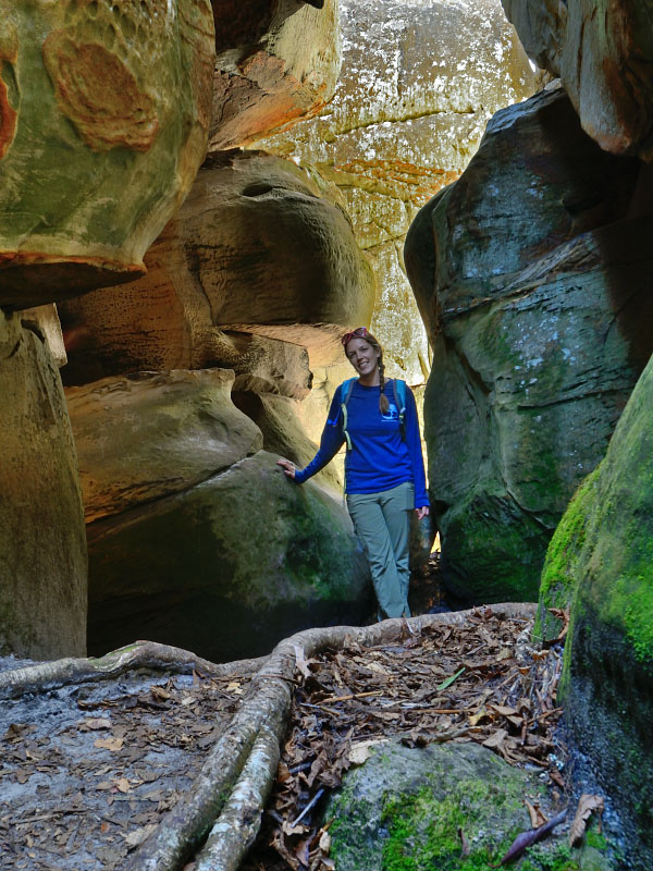
| Brumley Mountain (FY07) | Forestland Preservation | FY07 | 3200 | Washington County | Virginia Department of Forestry | State | Virginia Department of Forestry | 36.8542863 | -81.97585 | A grant award of $1,030,000 to Virginia Department of Forestry assisted in the purchase of the remaining two-thirds of the Brumley Mountain Property, for which a previous VLCF grant was awarded. This 4,800 acre property lies between two Department of Game and Inland Fisheries Management Areas. The property protects a key intact forest within the Clinch Mountain Complex in Washington County. This area is a migratory stop for rare Cerulean warblers as well as many raptor species. It includes a series of unusual rock crevices called the Great Channels of Virginia, which have become part of a 708-acre Natural Area managed by DCR. This is the first state forest in southwest Virginia, and provides full public access. https://dof.virginia.gov/education-and-recreation/state-forests/virginia-state-forests/channels-state-forest/ |
 | ||||||||||
| Brush Creek Farm | Farmland Preservation | FY01 | 93.7 | Montgomery County | Virginia Outdoors Foundation | Private | Virginia Outdoors Foundation | 37.02850407 | -80.371622 | A $72,747 grant was awarded for an easement on a 93.7-acre buffalo farm and niche marketing operation of unique products (e.g., buffalo meat & hides) with three primary purposes that include: 1) protection of unique farmland from development in area with some residential development pressure; 2) protection of unique value-added agricultural enterprises; and, 3) protection of water quality in state trout stream through establishment of riparian buffer and exclusion of livestock from the stream. |
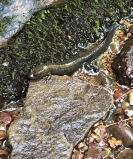
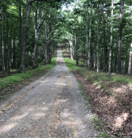
| Brush Mountain Park - Edison Property Expansion | Open Spaces and Parks | FY22 | 204.66 | Montgomery County | Virginia Outdoors Foundation | Private | Town of Blacksburg | 37.265383 | -80.458944 | The Town of Blacksburg was able to acquire and protect 204-acres of richly biodiverse forest habitat used as a recreational resource in Montgomery County. The property represents a priority viewshed along the southeastern face of Brush Mountain. The property will be integrated into the Brush Mountain Park system serving as a bridge between the Poverty Creek Trail System in the Jefferson National Forest, and ultimately to the Huckleberry Trail. Partnerships among the town, New River Land Trust and a diverse set of community stakeholders allowed for the conservation of the property and ensure the long-term success of the project. |
  | ||||||||||
| Bryant Land Company | Farmland Preservation | FY26 | 402.00 | Southampton County | Virginia Outdoors Foundation | Private | Virginia Outdoors Foundation | -77.174974 | 36.668666 | The Virginia Outdoors Foundation received VLCF funding to place an easement upon a 408-acre farm in Southampton County. Bryant Land Company is a multi-generational family-owned business which grows soybeans, peanuts, and cotton in a rotational mix. Their farm includes over one mile of road frontage, leaving it vulnerable to future development. The owners wish to protect the property and the unique wetlands and water features, including frontage on Sweat Swamp. The easement will ensure the continued use of agricultural activities and protect the old growth Cypress wetlands found in Sweat Swamp together with the permanent establishment of 100-foot forested riparian buffers. |
   | ||||||||||
| Bucks Elbow Mountain Easement | Forestland Preservation | FY17 | 263 | Albemarle County | Virginia Department of Forestry | Private | Virginia Department of Forestry | 38.10323315 | -78.725484 | Virginia Department of Forestry sought funding to support the partial purchase of an open space easement on 263 acres of forested land near Crozet in western Albemarle County. All of the forestland on the property is classified as having high forest conservation value by VDOF, and two globally rare natural communities occur on site. The property also contains approximately 1,700 linear feet of headwater streams of Powell Creek. The project is highly visible from publicly owned parks in the area and received a grant award of $125,000. |
| Buffalo Mountain NAP Addition | Natural Area Preservation | FY17 | 6.48 | Floyd County | Virginia Department of Conservation and Recreation | State | Virginia Department of Conservation and Recreation | 36.78706313 | -80.452249 | With a grant of $39,550, DCR's Natural Heritage Program purchased six acres in Floyd County as an addition to the Buffalo Mountain Natural Area Preserve. Although a relatively small acquisition, this tract is an important addition to the preserve, which is an increasingly popular public recreation destination. By acquiring this key tract of land with frontage on the Buffalo Mountain access road, multiple conservation, recreation, and visual goals are being met. The acquisition supports continued public access to the preserve, maintaining a scenic entrance, and further protecting the outstanding biodiversity which epitomizes Buffalo Mountain. https://www.dcr.virginia.gov/natural-heritage/natural-area-preserves/buffalo |
 | ||||||||||
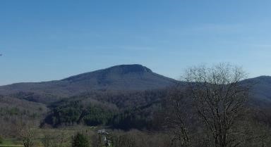
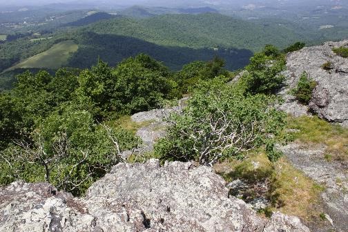
| Buffalo Mountain Natural Area Preserve - LCI Addition | Natural Area Preservation | FY24 | 1000 | Floyd County | Virginia Department of Conservation and Recreation | State | Virginia Department of Conservation and Recreation | 36.78561 | -80.465875 | DCR-DNH received funding to acquire in fee a 1,000-acre addition to the Buffalo Mountain Natural Area Preserve in Floyd County and will provide daily public access. The subject property falls within multiple categories of ConserveVirginia and lies within one of the Commonwealth's Essential Conservation Sites and most significant biodiversity hotspots. The mapped site supports 29 documented natural heritage resources, including three found nowhere else in the Commonwealth (Irreplaceable), and four that are extant at only two locations in the Commonwealth (Critical). This property has been a long-standing protection priority for over 25 years and is now becoming possible through the public and private partnership with The Conservation Fund. |
   | ||||||||||
| Bull Run Mountains NAP Addition - Eastern Overlook | Natural Area Preservation | FY23 | 10.13 | Prince William County | Virginia Department of Conservation & Recreation - Division of Natural Heritage | State | Virginia Outdoors Foundation | 38.880920 | -77.683243 | The Virginia Outdoors Foundation, in collaboration with DCR’s Division of Natural Heritage, was awarded a $500,000 VLCF grant to acquire an adjoining 10.13 acres as an addition to Bull Run Mountains Natural Area Preserve (BRMNAP) in Prince William County. This tract enhances VOF and DCR’s protection of key visual and ecological buffers overlooking the heavily developed Piedmont towards Washington, DC and protects critical habitat above BRMNAP’s biodiversity hotspot, brook trout reintroduction sites, and wetlands. The property includes an upland forest dominated by chestnut oak and blackjack oak with an ericaceous understory that includes highbush blueberry, lowbush blueberry, and black huckleberry providing critical food and habitat for numerous species of conservation concern. Lastly, the site contains one of the last den sites of the threatened timber rattlesnake population not already protected by BRMNAP and is located in one of Virginia’s “essential conservation sites” as well as a third-highest-ranked “ecological core”. |
 | ||||||||||
| Bull Run Mountains Natural Area Preserve Addition (Highpoint Lane Parcel) | Natural Area Preservation | FY26 | 5.49 | Fauquier County | Virginia Outdoors Foundation | Private | Virginia Outdoors Foundation | -77.707354 | 38.849070 | The Virginia Outdoors Foundation (VOF), in collaboration with the Department of Conservation and Recreation’s Division of Natural Heritage, will acquire five acres as an addition to Bull Run Mountains Natural Area Preserve (BRMNAP) in Fauquier County. Situated below the western-most ridge of the Bull Run Mountains and the rare pine-oak/heath woodlands that make up the Highpoint Conservation Area, this tract enhances VOF and DCR’s protection of a key visual and ecological site that typifies the Bull Run Mountains ecological corridor. Along with protecting critical habitat just below BRMNAP’s most fragile summit ecosystem, protection of this parcel will prevent incompatible development on a fragile ecosystem under heavy development threat. In addition, the property supports a section of Central Appalachian/Inner Piedmont Chestnut Oak Forest mapped as an Element Occurrence and several cultural history features. VOF was awarded a VLCF grant of $411,000 for this acquisition. |
  | ||||||||||
| Bullpasture River (withdrawn) | Open Spaces and Parks | FY07 | 177.62 | Highland County | Virginia Department of Game and Inland Fisheries | 38.23339026 | -79.578011 | The Department of Game & Inland Fisheries (DGIF) was awarded VLCF funding to aid in the acquisition of 177.62 acres located at the head of Bullpasture River Gorge adjacent to the Highland Wildlife Management Area in Highland County. The property contains a stretch of river designated as a Stream Conservation Unit by DCR-Natural Heritage and as a threatened and endangered species water by DGIF. Some of the mussel species associated with the property are listed in Virginia's Wildlife Action Plan. The property is located in one of the most significant cave and karst regions in the Commonwealth. This project was withdrawn. | ||
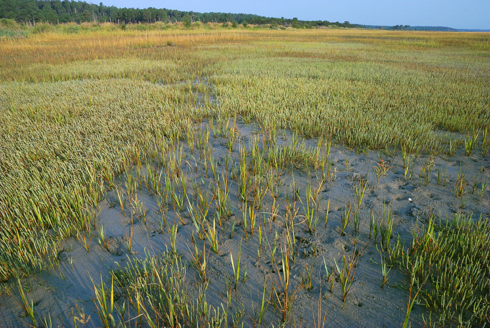
| Bulls Pond | Natural Area Preservation | FY06 | 286 | Northampton County | The Nature Conservancy | Private | The Nature Conservancy | 37.15567211 | -75.950378 | The Nature Conservancy received a VLCF grant of $1,500,000 to assist with the fee simple acquisition of 286 acres at the southern tip of the Eastern Shore in Northampton County. The tract supports globally significant maritime forests, and forest, scrub, and wetland habitat of international significance for migratory songbirds, raptors and waterfowl. |
  | ||||||||||
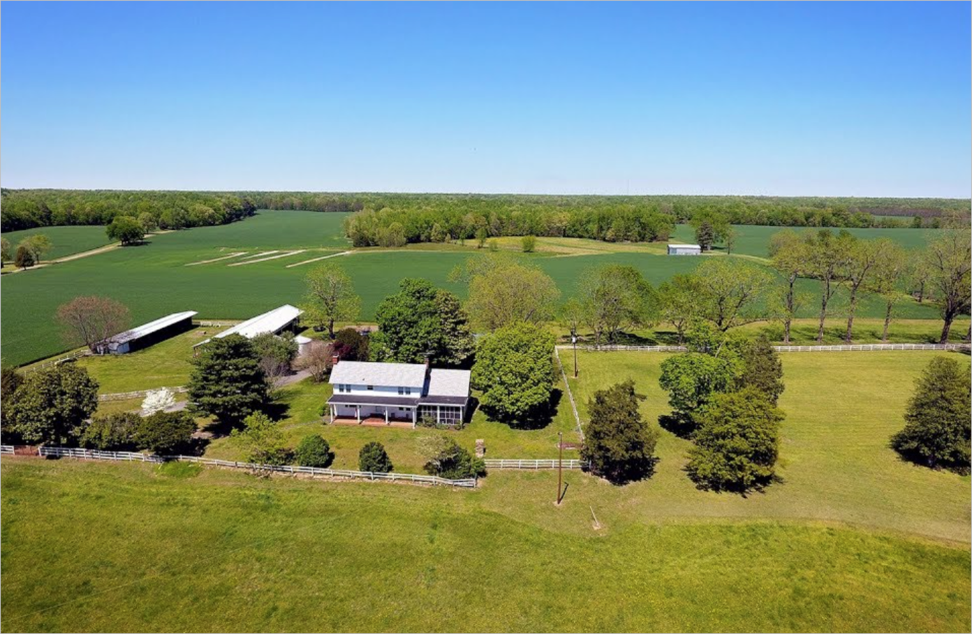
| Burhman (Malvern Hill) | Historic Area Preservation | FY01 | 245 | Henrico County | Virginia Outdoors Foundation | Private | Association for the Preservation of Virginia Antiquities | 37.40983559 | -77.240786 | A grant for $300,000 was awarded to the Association for the Preservation of Virginia Antiquities (APVA) to purchase in fee 245 acres of land which is part of the Malvern Hill Battlefield in Henrico County. This land is a key component of the battlefield. The property is now preserved as a historical park and was cooperatively managed by the Civil War Preservation Trust and the National Park Service until NPS was able to take title. |
  | ||||||||||
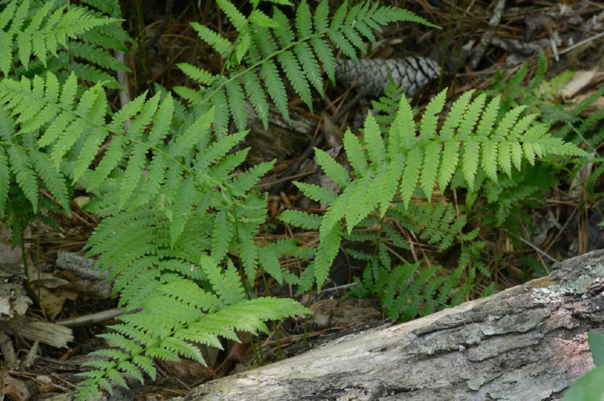
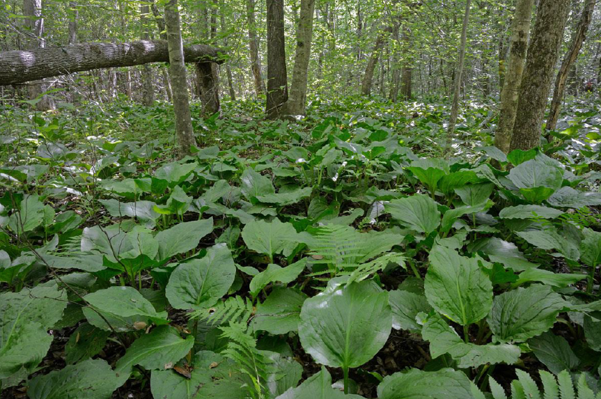
| Bush Mill Stream NAP Addition | Natural Area Preservation | FY20 | 41 | Northumberland County | Virginia Department of Conservation and Recreation | State | Virginia Department of Conservation and Recreation | 37.874488 | -76.45424 | DCR’s Natural Heritage Program purchased a 41-acre property with VLCF grant funds as an addition to the Bush Mill Stream Natural Area Preserve. The tract is included in ConserveVirginia under the Natural Habitat & Ecosystem Diversity and Protected Landscapes Resilience categories. The subject property fills a critical biodiversity conservation need by protecting one of the top two highest quality examples of bog fern known in Virginia. In addition, the parcel lies directly upstream and shares a contiguous boundary with the preserve, providing a protected riparian buffer to the wetlands within the preserve and to the tidal wetlands of the Wicomico River, a tributary of the Chesapeake Bay. |
  | ||||||||||
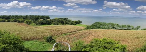
| Bushy Park Farm Acquisition | Open Spaces and Parks | FY24 | 118.07 | Middlesex County | Middle Peninsula Planning District Commission | Local | Middle Peninsula Planning District Commission | 37.574593 | -76.392701 | Middle Peninsula Planning District Commission is requesting VLCF funds to purchase and conserve Bushy Farm Park in Middlesex County. This property is a 118-acre waterfront parcel with pristine uplands, beach, tidal and nontidal wetlands that has been deemed both a priority conservation area and area most vulnerable for development. Once purchased, Middlesex County and its partners will establish a public beach park that offers access to the Rappahannock River and Bushy Farm Creek, as well as a nature area for exploration through trail access to forested areas, 50 acres of pristine tidal pond, and tidal wetlands. As the future largest public access location in the county, this property will become an outdoor recreational hub. Acquisition of the property is the critical first for what will be a multi-year endeavor under county stewardship with state and federal partners to provide requisite erosion control and reduction, enhancing the shoreline ecosystems, and preserving the upland areas for conservation and recreation. |
   | ||||||||||
| Calloway Tract at Brandy Station Battlefield | Farmland Preservation | FY26 | 475.87 | Culpeper County | Virginia Board of Historic Resources | Private | American Battlefield Trust | -77.842631 | 38.535074 | The American Battlefield Trust was awarded a VLCF grant of $879,000 to protect the 476-acre Calloway Tract in Culpeper County through the purchase and recordation of an open-space easement to be held by the Virginia Board of Historic Resources. The property is part of a working farm zoned for agriculture with a main house, four guest houses, a stable, garage, silo dairy storage, sheds, barns, and other minor structures. The property lies within the core and study areas of the Brandy Station Battlefield, identified as a Priority I.3 (Class B) site in the Civil War Sites Advisory Commission Report. The property has extensive frontage on the Rappahannock River, which will be protected with 35-foot vegetated buffers. The easement will protect the farm's productivity, conserve natural and historic resources, and preserve scenic viewsheds of the Brandy Station Battlefield and nearby Culpeper Battlefields State Park. |
   | ||||||||||
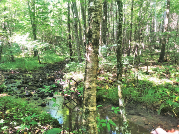
| Camp Branch | Natural Area Preservation | FY23 | 56 | Floyd County | Virginia Department of Conservation and Recreation, Natural Heritage Division | State | Virginia Department of Conservation and Recreation, Natural Heritage Division | 36.860135 | -80.516131 | DCR’s Natural Heritage Division was awarded $365,000 to support fee-simple purchase of 56 acres adjoining Camp Branch Wetlands Natural Area Preserve in Floyd County. The subject tract includes forested wetlands and riparian areas along Camp Branch as well as habitat for numerous species of greatest conservation need, and two significant natural heritage resources, including a Tier 1 (Critical Conservation Need) species. The entire natural Virginia range of this species is restricted to an approximately 10-mile radius in Floyd County, where it requires very specialized habitat conditions and active management. Additionally, the property shares a long boundary with the existing preserve and creates a contiguous connected stream corridor. |
 | ||||||||||
| Camp Branch Wetlands NAP Addition | Natural Area Preservation | FY18 | 66.25 | Floyd County | Virginia Department of Conservation and Recreation | Private | New River Land Trust | 36.86012811 | -80.516128 | New River Land Trust utilized VLCF funds to assist with the purchase of a fee simple acquisition of 66 acres to become an addition to the Camp Branch Wetlands Natural Area Preserve in Floyd County. The property shares nearly a half mile of boundary with the existing preserve and is central to protecting three imperiled species, including a globally rare dragonfly called the Appalachian snaketail (Ophiogomphus incurvatus), and two additional federally and state listed species. The tract includes 3,171 feet of streams and an estimated 15 acres of wetlands. |
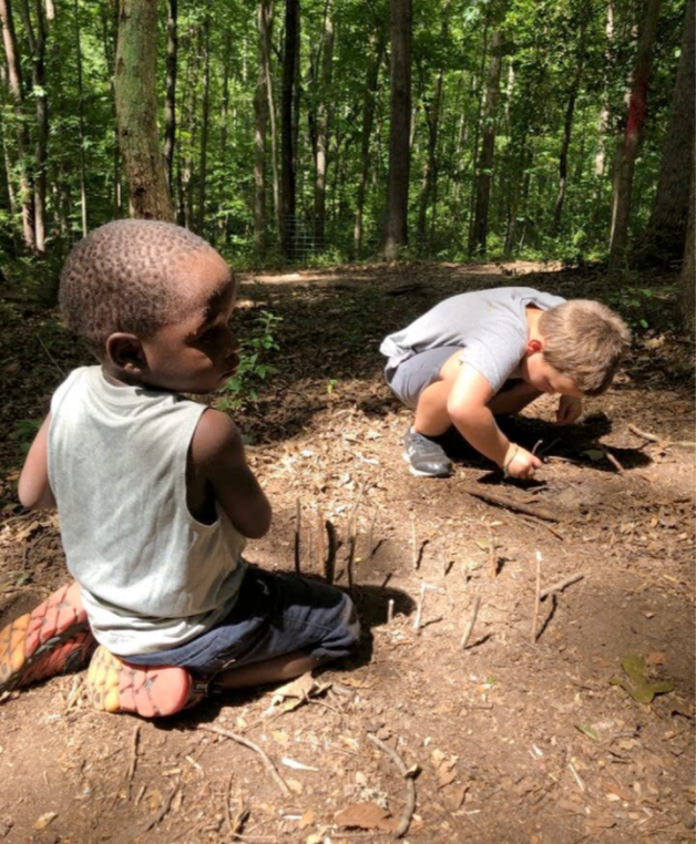
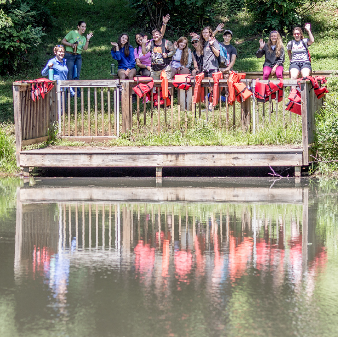
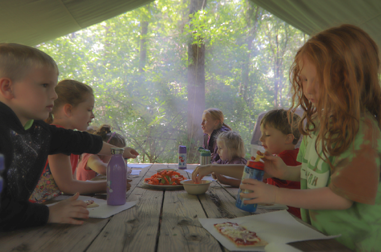
| Camp Kum-Ba-Yah (FY20) | Open Spaces and Parks | FY20 | 42 | City of Lynchburg | Virginia Outdoors Foundation | Private | Virginia Outdoors Foundation | 37.440707 | -79.207984 | The Virginia Outdoors Foundation utilized three VLCF grants (FY2020 - $201,134; FY2021 - $79,807; FY2022 - $250,000) to secure a conservation easement over Camp Kum-Ba-Yah (CKBY). a 42-acre urban forest located in Lynchburg. The easement now protects the property as a public recreation, learning center, and outdoor space in perpetuity. CKBY has facilitated outdoor nature programming on this property for more than 70 years. The land has connections to the civil rights movement – the only space in the city to offer a meal to Dr. Martin Luther King, Jr. on his 1962 visit, and the first pool in Lynchburg to welcome African American families to swim alongside their white neighbors. Generations of children have had formative nature experiences in the woods, which includes a fishing pond, walking trails, low-impact day camp sites, a ropes course and a community garden. Today, KBY offers scholarships to nearly half its campers, fulfilling a core value that no child is denied the gift of camp due to financial need. It continues to expand its year-round programming to school groups, families and partner organizations. |
    | ||||||||||
| Camp Kum-Ba-Yah (FY21 Round 1) | Open Spaces and Parks | FY21 Round 1 | 42 | City of Lynchburg | Virginia Outdoors Foundation | Private | Virginia Outdoors Foundation | 37.440707 | -79.207984 | The Virginia Outdoors Foundation utilized three VLCF grants (FY2020 - $201,134; FY2021 - $79,807; FY2022 - $250,000) to secure a conservation easement over Camp Kum-Ba-Yah (CKBY). a 42-acre urban forest located in Lynchburg. The easement now protects the property as a public recreation, learning center, and outdoor space in perpetuity. CKBY has facilitated outdoor nature programming on this property for more than 70 years. The land has connections to the civil rights movement – the only space in the city to offer a meal to Dr. Martin Luther King, Jr. on his 1962 visit, and the first pool in Lynchburg to welcome African American families to swim alongside their white neighbors. Generations of children have had formative nature experiences in the woods, which includes a fishing pond, walking trails, low-impact day camp sites, a ropes course and a community garden. Today, KBY offers scholarships to nearly half its campers, fulfilling a core value that no child is denied the gift of camp due to financial need. It continues to expand its year-round programming to school groups, families and partner organizations. |
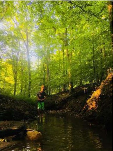 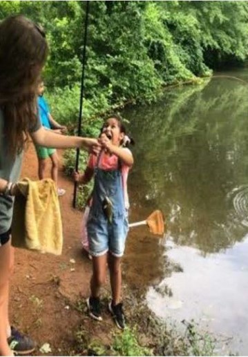 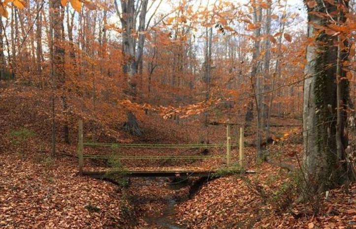 | ||||||||||
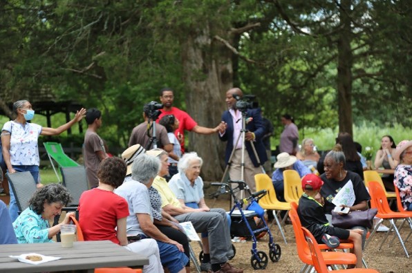
| Camp Kum-Ba-Yah (FY22) | Open Spaces and Parks | FY22 | 42 | City of Lynchburg | Virginia Outdoors Foundation | Private | Virginia Outdoors Foundation | 37.440341 | -79.207885 | The Virginia Outdoors Foundation utilized three VLCF grants (FY2020 - $201,134; FY2021 - $79,807; FY2022 - $250,000) to secure a conservation easement over Camp Kum-Ba-Yah (CKBY). a 42-acre urban forest located in Lynchburg. The easement now protects the property as a public recreation, learning center, and outdoor space in perpetuity. CKBY has facilitated outdoor nature programming on this property for more than 70 years. The land has connections to the civil rights movement – the only space in the city to offer a meal to Dr. Martin Luther King, Jr. on his 1962 visit, and the first pool in Lynchburg to welcome African American families to swim alongside their white neighbors. Generations of children have had formative nature experiences in the woods, which includes a fishing pond, walking trails, low-impact day camp sites, a ropes course and a community garden. Today, KBY offers scholarships to nearly half its campers, fulfilling a core value that no child is denied the gift of camp due to financial need. It continues to expand its year-round programming to school groups, families and partner organizations. |
  | ||||||||||
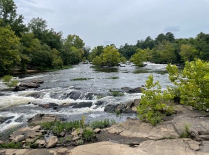
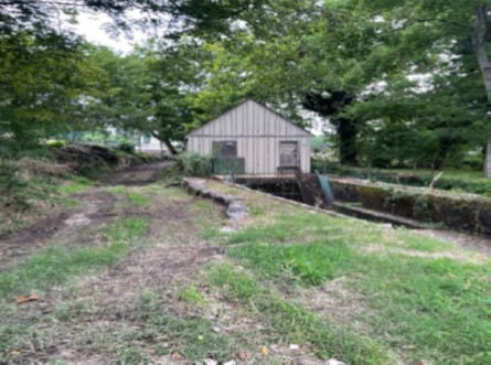
| Campbell's Bridge Mills | Historic Area Preservation | FY22 | 5 | Chesterfield County | Virginia Board of Historic Resources | Private | Capital Region Land Conservancy | 37.231698 | -77.422249 | Capital Region Land Conservancy, in partnership with Chesterfield County and Friends of Lower Appomattox River, has acquired the site of the Ettrick Mill, Northside Mill, Campbell’s Mill, Powhatan Mill, Eanes Mill and their associated mill races. The 29.6 acres of land and islands are located in Ettrick in Chesterfield County along the Appomattox River. For this grant request, CLRC acquired and protected 3.65 acres of the larger tract with the greatest intact historic resources at Campbell’s Bridge. CRLC placed a conservation easement held by the Virginia Board of Historic Resources on the property and provide public access and implement the Appomattox River Trail and Ettrick VSU Special Area Plan. |
  | ||||||||||
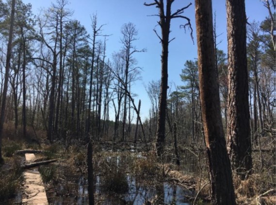
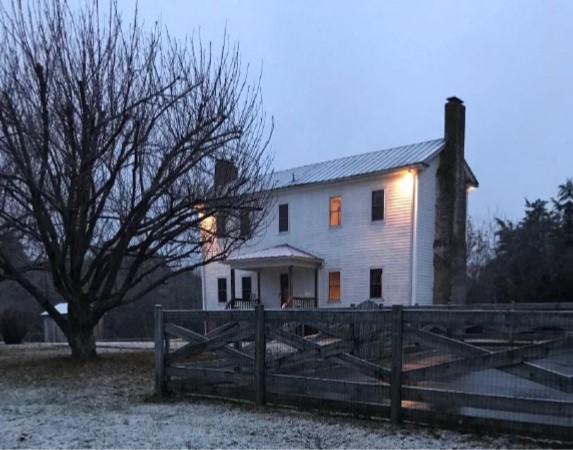
| Caroline Diamonds - The Oak Barrens and Barrel Springs (FY22) (withdrawn) | Forestland Preservation | FY22 | 96 | Caroline County | Meadowview Biological Research Station | Private | Meadowview Biological Research Station | 38.144805 | -77.392787 | The Meadowview Biological Research Station received a VLCF grant to acquire and protect 96 acres of a globally rare gravel bog (G1S1) and surrounding oak barren uplands in Caroline County by adding it to the adjacent existing 17-acre preserve. This property contains the northern-most native purple pitcher plant population in Virginia and one state threatened plant (Juncus caesariensis Coville). The preserve is managed and restored through mechanical clearing and prescribed fire to enhance indigenous rare plants found on the property. The site is used for guided tours, research, educational and recreational purposes. The existing conservation easement co-held by Caroline County on the preserve would be expanded to include the new acreage. This project was withdrawn. |
  | ||||||||||
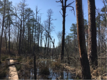
| Caroline Diamonds - The Oak Barrens at Barrel Springs II (FY23) (withdrawn) | Forestland Preservation | FY23 | 96 | Caroline County | Meadowview Biological Research Station | Private | Meadowview Biological Research Station | 38.144805 | -77.392787 | VLCF funding was awarded to protect 96 acres of a globally rare gravel bog and oak barren uplands and add it to the existing adjacent 17-acre preserve in the Meadow Creek watershed. The property contains the northern-most native purple pitcher plant (Sarracenia purpurea L.) population in Virginia and one state threatened plant (Juncus caesariensis Coville). A cool water gravel spring emerges from an old white-cedar lined barrel casing at the head of the watershed and the uplands contain an oak-barrens on the impoverished soil. To enhance indigenous rare plant habitat, the preserve is managed and restored through mechanical clearing and prescribed fire. The preserve provides guided tours, and research, education and recreation opportunities. A conservation easement held by Caroline County would protect the rare plants and allow for continued ecological restoration and reintroduction. This project was withdrawn. |
  | ||||||||||
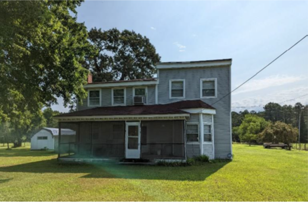
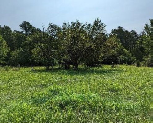
| Carter Tract at Seven Pines Battlefield | Historic Area Preservation | FY23 | 11.78 | Henrico County | Virginia Board of Historic Resources | Private | American Battlefield Trust | 37.536137 | -77.303936 | The American Battlefield Trust seeks to preserve the twelve-acre Carter Tract in Henrico County via fee acquisition and the recordation of a historic preservation and open-space easement to be held by the Virginia Board of Historic Resources. The Carter Tract is located entirely within the Core Area of the Seven Pines Battlefield. The tract is improved with a residence that was present at the time of the battle, a lofted barn, and several small outbuildings. The property is partially wooded with 4.55 acres of trees and includes 95 feet of frontage on an unnamed intermittent stream bed. The Trust intends to demolish the non-historic structures (if required by DHR) and offer periodic tours. Eventually, the Trust proposes to transfer the tract to a conservation buyer or a local entity for public use as a pocket park. |
  | ||||||||||
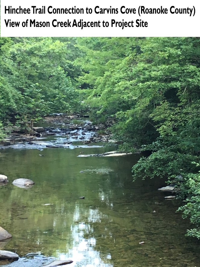
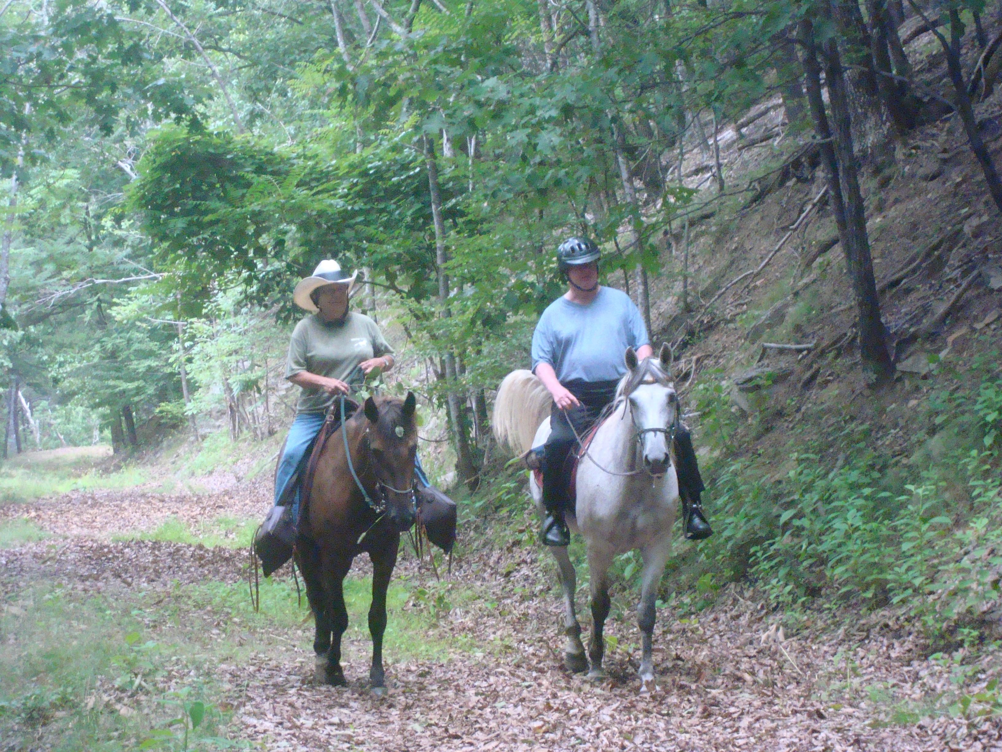
| Carvins Cove Connector | Open Spaces and Parks | FY18 | 242 | Roanoke County | Roanoke County | Local | Roanoke County | 37.33913845 | -80.037675 | This multifaceted project, partially funded by a $69,980 VLCF grant, resulted in the acquisition by Roanoke County of a total of 242 acres near the intersection of Timberview and Dutch Oven Roads and along the Virginia Deer trail to provide a trailhead and parking facilities, facilitating public use of the trail. The project creates a connecting trail between the Hanging Rock Battlefield Trail and the trails within Carvins Cove Nature Reserve. In addition, the project contains 3,600' of frontage along Mason Creek, allowing for possible public fishing, wading and kayaking in the future. |
  | ||||||||||
| Catharine M. Grey Preserve (withdrawn) | Open Spaces and Parks | FY18 | 127.7 | Accomack County | The Nature Conservancy | 37.73254547 | -75.795708 | The Nature Conservancy received a VLCF grant award of $321,000 to aid in the acquisition of a 127-acre property situation near the mouth of the Onancock River in Accomack County for the creation of a nature preserve. Adjacent to Parker's Marsh Natural Area Preserve, the Catharine M. Grey property would be open year round for shoreline fishing, environmental education and nature study, kayaking, and hiking. Permitted hunting would be allowed under the supervision of the Virginia Department of Game and Inland Fisheries. The property lies along the Captain John Smith Chesapeake National Historic Trail and the Onancock Water Trail. This project was withdrawn. | ||
| Cedar Creek | Historic Area Preservation | FY00-01 (Civil War Battlefield Grant) | 150 | Frederick County | Private | 39.01562335 | -78.305443 | A $250,000 grant was awarded to a private non-profit organization to acquire 150 acres of threatened Civil War Battlefields. The grant was used as match for a Land and Water Conservation Fund grant under the American Battlefield Protection Program for Civil War Battlefield Land Acquisition, awarded by the National Park Service. | ||
| Cedar Creek Bluff (withdrawn) | Open Spaces and Parks | FY05 | 117 | Warren County | Shenandoah Valley Battlefields Foundation | 38.96757237 | -78.312914 | A $244,793.50 grant was awarded to Shenandoah Valley Battlefields Foundation to purchase a conservation easement on a 117-acre property within the boundary of the new Cedar Creek and Belle Grove National Historical Park. This project was withdrawn. | ||
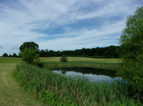
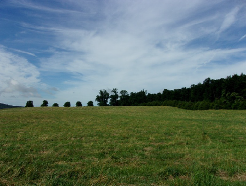
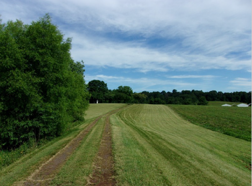
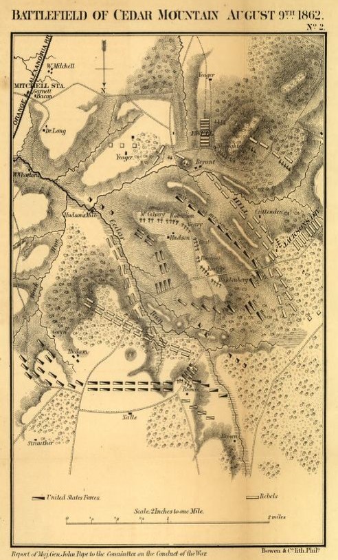
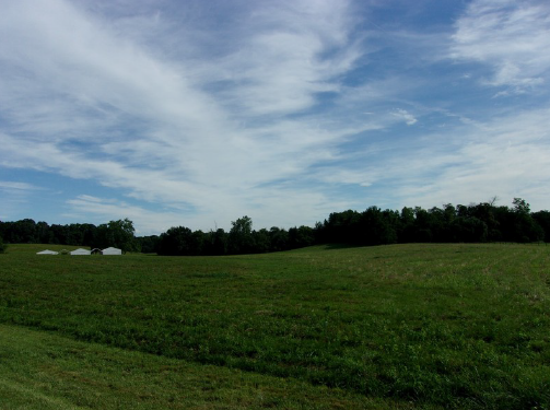
| Cedar Run Tract at the Cedar Mountain Battlefield | Historic Area Preservation | FY20 | 86.46 | Culpeper County | American Battlefield Trust | Private | American Battlefield Trust | 38.413428 | -78.057421 | The American Battlefield Trust utilized VLCF grant funds to acquire the 86-acre Cedar Run Tract at the Cedar Mountain Battlefield, now protected in perpetuity by an open-space easement held by the Board of Historic Resources. This project protects the rural character of the Cedar Mountain Battlefield (a Priority I.2, Class B battlefield), scenic James Madison Highway and associated farmland, all of which are prioritized in the ConserveVirginia initiative. In addition, the project preserves 52 acres of open and agricultural fields, 34 acres of forest, 2,600 feet of streams (including frontage on Cedar Run), over 2 acres of wetlands, and a half-acre pond. |
     | ||||||||||
| Cedars NAP Addition (withdrawn) | Natural Area Preservation | FY17 | 504 | Lee County | Virginia Department of Conservation and Recreation | State | Virginia Department of Conservation and Recreation | 36.61014732 | -83.265049 | DCR's Natural Heritage Division received a VLCF grant of $501,511 to acquire approximately 504 acres as an addition to The Cedars Natural Area Preserve in Lee County. The Cedars region is a focal area for DCR due to the extraordinary biodiversity significance of the region's natural heritage resources. The subject parcel is the largest remaining unprotected tract identified as a conservation priority in the region. The tract includes 6,170 feet of frontage on the Powell River, which supports the most significant freshwater diversity in North America. In addition, recent surveys by DCR personnel confirm the property supports several rare plant species, natural communities, and cave and karst features. This project was withdrawn. |
| Cedars Natural Area Preserve - Bowen Tract | Natural Area Preservation | FY12 | 284 | Lee County | Virginia Department of Conservation and Recreation | Private | The Nature Conservancy | 36.6335327 | -83.248586 | The Nature Conservancy was awarded $250,000 for the fee simple acquisition of 284 acres as an addition to the existing 731 acres owned by The Nature Conservancy and the 1,487-acre DCR Cedars Natural Area Preserve. The site contains 45 acres of riparian habitat along 1.8 miles of the globally significant Powell River and 0.25 miles of Hardy Creek. This globally significant freshwater fish and mussel habitat supports 16 globally and state rare species, in addition to globally significant terrestrial plant species and cave and karst resources. VLCF funds were matched with VA Aquatic Resources Trust Funds and USFWS Powell River enhancement funds. https://www.dcr.virginia.gov/natural-heritage/natural-area-preserves/thecedars |
  | ||||||||||
| Chancellorsville Battlefield | Historic Area Preservation | FY01 | 11 | City of Fredericksburg | Central Virginia Battlefields Trust/Virginia Department of Conservation and Recreation | Private | Central Virginia Battlefields Trust | 38.30606843 | -77.495563 | A $150,000 grant was awarded to the Central Virginia Battlefields Trust for assistance in acquiring 11.2 acres within the City of Fredericksburg, which was the scene of intense fighting during the Battle of Chancellorsville. The parcel was threatened by intense development with the pending extension of Cowan Boulevard. The property is to be developed for public access with an interpretive trail and is now owned by Fredericksburg with an open-space easement held by the Department of Conservation and Recreation. |
| Chapman Farm | Historic Area Preservation | FY13 | 140 | Clarke County | Clarke County Easement Authority | Private | Clarke County Easement Authority | 39.11737139 | -77.901421 | The Clarke County Easement Authority received VLCF funding for the purchase of an easement over a 140-acre farm located within the core area of the Cool Springs Battlefield in Clarke County. A portion of the Chapman Farm is also located within the boundaries of the Cool Springs Battlefield Historic District, which is listed on the National Register of Historic Places. Permanent protection of the Chapman Farm augments efforts by the Virginia Department of Historic Resources to place easements on other large portions of the Cool Springs Battlefield, including the 195-acre Textron Tract and the 965-acre Holy Cross Abbey Tract. This project received a grant award of $100,000, and also conserves prime farmland, forest cover of high conservation value, and one-half mile of frontage on the Shenandoah River. |
   | ||||||||||
| Charley Close Land Acquisition (withdrawn) | Open Spaces and Parks | FY17 | 2.78 | City of Charlottesville | City of Charlottesville | 38.01757805 | -78.48934 | The City of Charlottesville received a grant award of $82,600 to assist in the acquisition of a 2.78-acre parcel along Moore's Creek near Jordan Park (1607 Sixth St S.E.). The property represents one of the last undeveloped parcels in this area of the city and had been divided into six buildable lots. Surrounding properties have been developed into subdivisions. Purchase of the property by the City would allow for a key link in the City's developing trail network, including a link to the existing Rivanna Trail, which is a designated National Recreational Trail. This project was withdrawn. | ||
| Charlton Hill (withdrawn) | Forestland Preservation | FY07 | 89.19 | Essex County | Chesapeake Bay Foundation | 37.88009207 | -76.866535 | A grant award of $108,590 was given to the Chesapeake Bay Foundation to purchase a conservation easement on 89 acres of hardwood forest on the shoreline of Piscataway Creek, an impaired stream and a tributary to the Rappahannock River, in Essex County. The project would have protected two Federal and State listed species (Bald Eagle, and Sensitive Joint Vetch) found on site, and also protected habitat for 41 species of fish, Blue Crab, and a variety of waterfowl.This project was withdrawn. | ||
| Cheroenhaka | Natural Area Preservation | FY16 | 169.8 | Southampton County | Cheroenhaka Tribe/DCR | Private | Cheroenhaka (Nottoway) Indian Tribal Heritage Foundation | 36.69172372 | -77.051598 | The project protects approximately 170 acres adjacent to DCR's Cypress Bridge Swamp Natural Area Preserve and land already owned by the Cheroenhaka Tribe. The property is now under easement of natural area dedication by DCR's Natural Heritage Program. Approximately 10 acres of the property is native bottomland forest and most of the remainder is upland planted with loblolly pine. The applicant will harvest the pine forest and replant with native Virginia longleaf pine and restore the upland into an uneven-aged, open canopy longleaf pine savannah with a diverse herbaceous understory through selective thinning and prescribed fire. Protection of the property serves as an important buffer to the natural area preserve and prevent incompatible uses, particularly industrial or commercial development. The Cheroenhaka Tribe received a grant award of $271,145 to assist in completing this project. https://www.dcr.virginia.gov/natural-heritage/natural-area-preserves/cypressbridge |
| Cheroenhaka Protected Land (withdrawn) | Natural Area Preservation | FY12 | 155.73 | Southampton County | Cheroenhaka (Nottoway) Indian Tribal Heritage Foundation | Cheroenhaka (Nottoway) Indian Tribal Heritage Foundation | 36.6916376 | -77.052186 | The Cheroenhaka (Nottoway) Indian Tribal Heritage Foundation was awarded a VLCF grant of $150,000 to acquire a 156 acre property. This will be an addition to the existing 100 acres owned by the Foundation and is adjacent to the Cypress Bridge Swamp Natural Area Preserve. The site supports cypress-tupelo swamp forest, provides important buffer to the existing natural area preserve, Nottoway River, and Foundation holdings, and has strong potential for native longleaf pine restoration. This project was withdrawn. | |
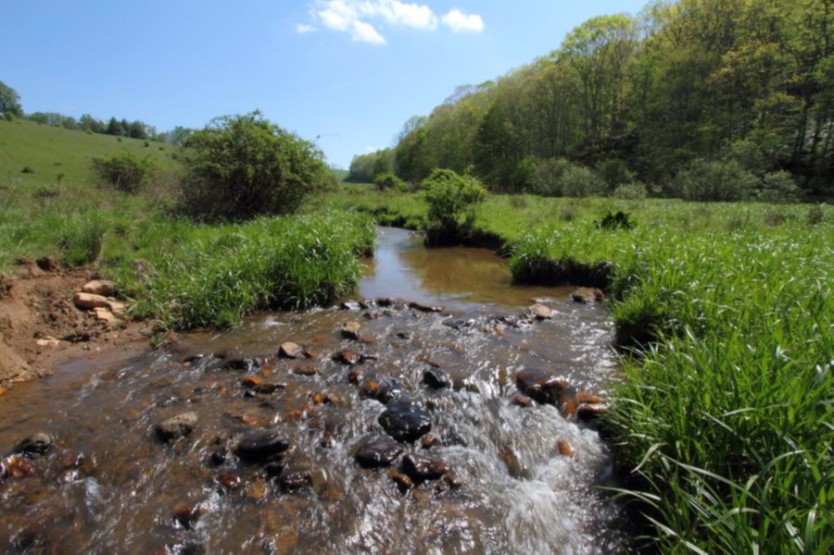
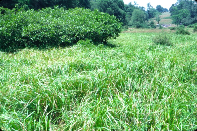
| Chestnut Creek Wetlands Natural Area Preserve Addition (withdrawn) | Natural Area Preservation | FY22 | 11 | Floyd County | Virginia Department of Conservation and Recreation | State | Virginia Department of Conservation and Recreation - Natural Heritage Program | 36.841069 | -80.444264 | The DCR Natural Heritage Division received VLCF funding to purchase 11 acres in Floyd County that adjoin the 244-acre Chestnut Creek Wetlands Natural Area Preserve. The acquisition would support three rare animal species – two of which are endangered – and a globally rare plant. The property lies within the priority Chestnut Creek Wetlands Conservation Site. Natural Heritage will restore the farmstead area to native vegetation on the edge of the wetlands and remove incompatible development from the edge of the preserve. This project was withdrawn. |
  | ||||||||||
| Chincoteague Open Space | Open Spaces and Parks | FY06 | 77 | Accomack County | Town of Chincoteague | Local | Town of Chincoteague | 37.94027984 | -75.356237 | Funds of $500,000 were awarded to the Town of Chincoteague to help acquire 75 acres of forest/wetlands and two acres of waterfront. The property includes a parcel on which the Town has created a trail using funds from the Virginia Recreational Trail Program. Changes in permitting process for sewage disposal in the Town resulted in rapid growth in the sale of properties proposed for development. Increasing development in the area caused the Town Council to make conservation of open space one of its top priorities. |
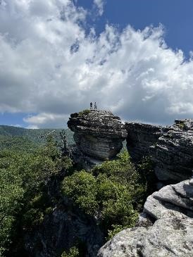
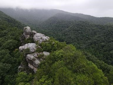
| Clinch Mountain, Pinnacle Rock | Forestland Preservation | FY24 | 680 | Washington County | The Nature Conservancy | Private | The Nature Conservancy | 36.827726 | -82.036519 | The Nature Conservancy (TNC) received VLCF funding for the fee-simple purchase of 680 acres in the Brumley Gap Community of Washington County. This project is supported by the Department of Forestry and Department of Wildlife Resources (DWR) and will provide daily public access. The property is predominantly covered by mixed Appalachian hardwood forests. Securing this property will provide protection and management that will halt the threats of additional fragmentation and unsustainable logging practices and enhance the condition of the land through improved forest management. This property shares over one mile of boundary with DWR's Hidden Valley Wildlife Management Area and its acquisition will contribute to the connectivity of more than 50,000 acres of forested land along the Clinch Mountain corridor. The property also contains the Pinnacle rock formation, that has high potential as an outdoor recreational feature. This project will protect nearly five miles of the Brumley Creek headwaters by the establishment of 100-foot riparian buffers. In addition to forest management, TNC will initiate planning for outdoor recreation, including hiking trail development and community stewardship. The objective of the community engagement will be to grow community volunteerism, ownership, and appreciation for the Clinch Mountain. |
   | ||||||||||
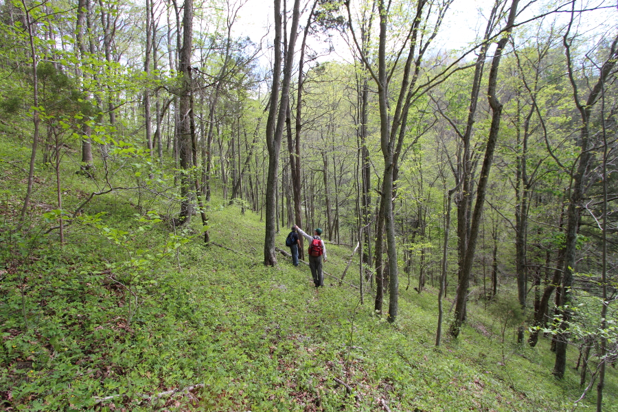
| Clinch River | Natural Area Preservation | FY01 | 458 | Russell County | Virginia Department of Conservation and Recreation | Private | The Nature Conservancy | 36.94777815 | -82.1367 | A $196,640 grant was awarded to The Nature Conservancy to acquire 458 acres in Russell County adjacent to the Cleveland Barrens Natural Area Preserve and directly upstream from TNC's Cleveland Island Preserve. The property borders on 1.2 miles of the Clinch River, buffers a significant freshwater mussel site harboring at least nine rare mussel species and six rare fish species, and features a globally rare limestone/dolomite barren community with three rare plant species. |
 | ||||||||||
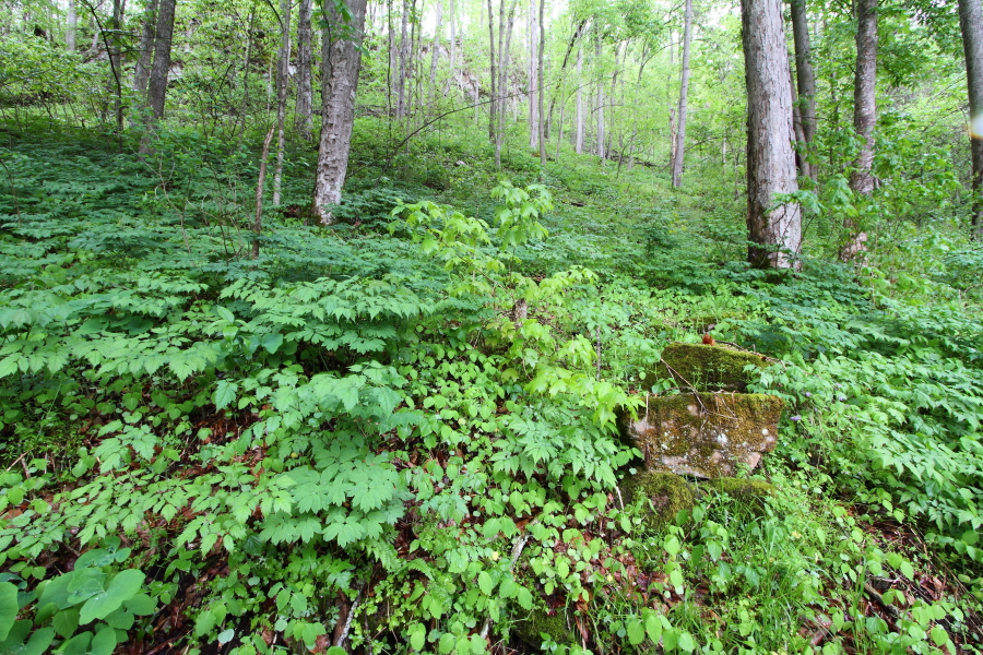
| Clinch River Cleveland to Artrip | Natural Area Preservation | FY13 | 100 | Russell County | Virginia Department of Conservation and Recreation | Private | The Nature Conservancy | 36.96657978 | -82.124851 | Funding was awarded to The Nature Conservancy for the fee-simple purchase of land along the Clinch River in Russell County. This project which was awarded a grant for $120,000 to protect 1.8 miles of river frontage along the Clinch River, within the "Clinch River - Little River Stream Conservation Unit," which had been designated as having outstanding biological significance by DCR's Division of Natural Heritage. These properties are owned by The Nature Conservancy and are further protected through an open-space easement and deed of natural area preserve dedication. https://www.nature.org/en-us/about-us/where-we-work/united-states/virginia/stories-in-virginia/clinch-valley-program/ |
 | ||||||||||
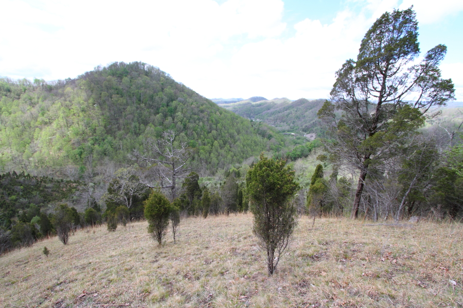
| Clinch/Pinnacle | Natural Area Preservation | FY06 | 65 | Russell County | Virginia Department of Conservation and Recreation | Private | The Nature Conservancy | 36.96247152 | -82.098239 | An award of $62,375 was made to The Nature Conservancy for the acquisition of two tracts of land, one 48 acres and one 17 acres, that include 4,100 feet of shoreline on the Clinch River, Russell County. The site supports state and globally rare plant and animal species and natural communities. |
 | ||||||||||
| Clinedinst/Crim Greenway | Historic Area Preservation | FY18 | 1.92 | Shenandoah County | Virginia Department of Historic Resources/Shenandoah Valley Battlefields Foundation | Private | Shenandoah Valley Battlefields Foundation | 38.64907083 | -78.672112 | A grant for $155,439 in VLCF funds was awarded to Shenandoah Valley Battlefields Foundation to protect this property located in the Town of New Market. The parcel is within the core area of the Civil War Battle of New Market (1864) and is distinguished by a circa 1882 historic frame dwelling that is a contributing resource to the New Market Historic District, which is listed on the Virginia Landmarks Register and National Register of Historic Places. A 1.23-acre portion of the property is open space land that contains an historic dry-laid stone wall. SVBF intends to incorporate the property into a pedestrian greenway trail to provide a direct link between the Virginia Military Institute Hall of Valor Museum and the New Market Historic District, allowing visitors to follow the flow of the battle. The project protects an architecturally and historically significant site while also providing public access to a pedestrian greenway trail and encouraging heritage tourism along U.S. Route 11, a Virginia Byway. |
  | ||||||||||
| Closing the Gap: Dragon Run Conservation & Wildlife Corridor | Forestland Preservation | FY26 | 240.58 | King and Queen County | Virginia Outdoors Foundation | Private | Friends of Dragon Run | -76.729516 | 37.668411 | The Friends of Dragon Run, in partnership with Chesapeake Conservancy will acquire a 241-acre tract in King and Queen County and close a gap in protected lands along the Dragon Run Conservation Corridor. The property will be owned and managed by the Friends of Dragon Run with an easement held by Virginia Outdoors Foundation. The project will protect forest, agricultural, cultural, and scenic values in a high-integrity, high-value watershed. The property is a mix of forest, agriculture and wetland areas. There are 40 acres in agricultural production, more than 50 acres of bald cypress swamp, and 150 acres of forestland. Additionally, more than 3,000 linear feet of the mainstem Dragon and 9,000 linear feet of an unnamed tributary will be protected with 100’ forested riparian buffers. As a result of the project, more than 25,000 acres will have been protected in Dragon Run, 27% of the watershed. Friends of Dragon Run received a VLCF grant of $475,000 for this project. |
  | ||||||||||
| Coles Point Boating Access | Open Spaces and Parks | FY23 | 2.60 | Westmoreland County | Virginia Department of Wildlife Resources | State | Virginia Department of Wildlife Resources | 38.142959 | -76.634918 | The DWR proposes to purchase 2.6 acres for future development of public access (a boat ramp, two hand-launch sites) to Branson Cove and the Potomac River, a public ADA-accessible fishing pier, and a gravel parking area. Acquisitions that provide public water access are consistent with the DWR’s mission to connect people to the outdoors, and the intended future uses for boating access, pier-based fishing and wildlife viewing are integral components of that mission. Access to the Potomac River has been identified as a user priority in the DWR’s 2019 Boating Access Site and Facility Management Plan. The acquisition will provide new access to the Potomac River Water Trail, Potomac River Long-Distance Water Trail, and Westmoreland County Water Trail, addressing both County and regional priorities for additional public water access. It would also be included on the Virginia Birding and Wildlife Trail, providing access to public and private sites for wildlife viewing. |
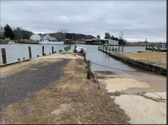 | ||||||||||
| Conservation and Cultural Access in Amherst County | Forestland Preservation | FY26 | 421.25 | Amherst County | Virginia Outdoors Foundation | Private | The Conservation Fund | -79.130134 | 37.596723 | The Conservation Fund was awarded a VLCF grant for the protection of a 421-acre property in Amherst County. This unique project is a result of a collaborative between The Conservation Fund, Sweet Briar College (landowner), Virginia Outdoors Foundation, and the Monacan Indian Nation. The property, sitting atop Bear Mountain and Cedar Mountain, contains hundreds of acres of high quality hardwood forest in the foothills of the Blue Ridge Mountains. Sweet Briar intends to manage this property to maintain forest quality and wildlife habitat by maintaining 90% forest cover and 100’ forested riparian buffers, furthering the conservation efforts of surrounding landowners with several adjacent conservation easements. Additionally, the property is adjacent to land held and stewarded by the Monacan Indian Nation and will contribute to their efforts to protect Bear Mountain and the surrounding area from encroachment and development. Sweet Briar is committed to implementing one of the first cultural access easements in the commonwealth with the Monacan Nation to provide access to members of the Nation to further efforts on understanding and protecting the Nation's history in the area. |
  | ||||||||||
| Conservation of Ancestral Lands – Upper Mattaponi Indian Tribe’s Return to the River | Forestland Preservation | FY23 | 853 | King William County | Tribe | Upper Mattaponi Indian Tribe | 37.855508 | -77.148966 | The Upper Mattaponi Indian Tribe received a grant to acquire an 853-acre property in King William County with more than 12,000 feet of shoreline along the Tribe’s namesake River, the Mattaponi. With assistance from Trust for Public Land and The Conservation Fund, the Tribe purchased the property that includes a former sand & gravel mine. With the assistance of the Va. Dept. of Wildlife Resources and the US Fish and Wildlife Service, the Tribe is developing a comprehensive vision for restoring habitat of culturally significant fish, wildlife and plant populations and establishment of a fish hatchery. A forest stewardship plan will guide future restoration efforts and limited site development for a fish hatchery and nature-based public recreational opportunities, including access to the river and a trail network.
| |
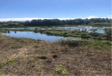 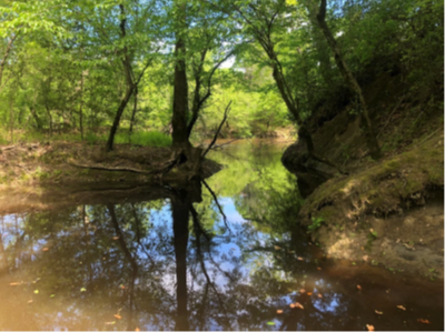 | ||||||||||
| Cool Spring Farm | Historic Area Preservation | FY09 | 204 | Clarke County | Clarke County Easement Authority | Private | Clarke County Easement Authority | 39.1533158 | -77.885574 | A grant award of $123,625 assisted Clarke County Easement Authority to purchase an easement on the 204-acre Cool Spring Farm property, which is within the Shenandoah Valley National Historic District and Cool Spring Civil War Battlefield Historic District, and listed in the Virginia Landmarks Register and the National Register of Historic Places. The property, owned by the Community of Cistercians, includes a historic farm house and 204 acres of farmland, 111 acres of which is designated as prime soil. The monks have worked with the Natural Resource Conservation Service to implement agricultural Best Management Practices and develop a nutrient management plan. https://www.virginiatrappists.org/about/history/cool-springs-farm/ |
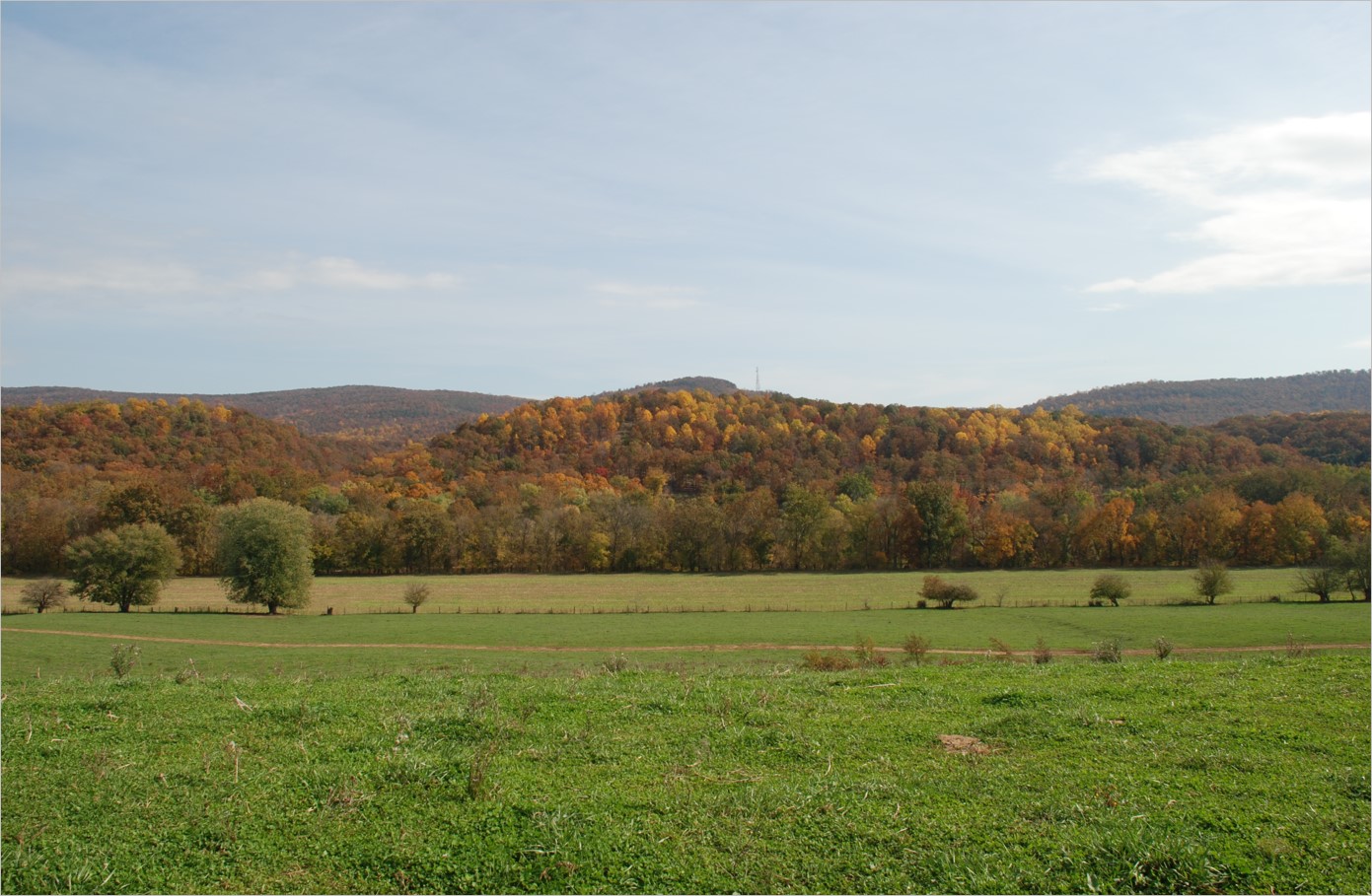 | ||||||||||
| Cooley Farm | Historic Area Preservation | FY07 | 189.18 | Warren County | Virginia Department of Historic Resources/Shenandoah Valley Battlefields Foundation | Private | Shenandoah Valley Battlefields Foundation | 39.00302985 | -78.311285 | The grant award of $539,512 to Shenandoah Valley Battlefields Foundation assisted in the acquisition of 189 acres of the Cooley Farm in Warren County. Ranked as a Class A property by the Civil War Sites Advisory Commission, the Cooley Farm is associated with the battle of Cedar Creek. Located near the center of the designated Cedar Creek and Belle Grove National Historical Park, the Cooley Farm was the largest remaining parcel of the battle unprotected. The Shenandoah Valley Battlefields Association protects and interprets the site in coordination with the National Park Service and provide public access. |
| Copper Creek Initiative | Open Spaces and Parks | FY22 | 8 | Scott County | The Virginia Department of Wildlife Resources | State | Virginia Department of Wildlife Resources | 36.655205 | -82.742385 | The Department of Wildlife Resources acquired and conserved an eight-acre parcel located at the confluence of Copper Creek and the Clinch River in Scott County. The shoreline along the Clinch River provides a new fishing and boating access for the public. Companion public boating access sites are located 2.5 miles upstream and 9.5 miles downstream. The site is easily accessible, located 0.6 miles from a four-lane highway. DWR protects the shorelines of Copper Creek that transect the property, removing threats of sedimentation and nutrient-loading. Many rare and endangered fish are known near the mouth of Copper Creek, including several Species of Greatest Conservation Need. Copper Creek has been a refuge for many species during, and as a source of replenishment after, pollution events in the Clinch River. Twenty-eight mussel species, including 19 federally endangered, have been reported from Copper Creek, which is by far the most of any tributary on the Virginia side of the Clinch River. |
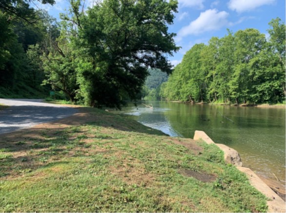 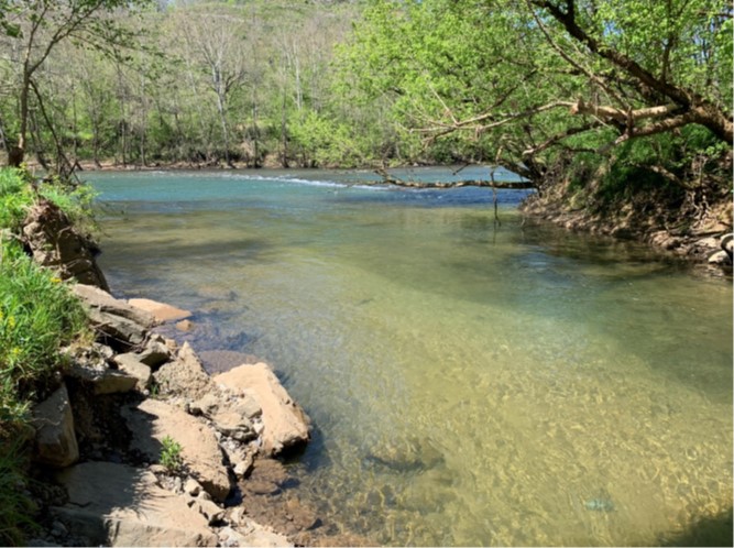 | ||||||||||
| Cowbane Prairie NAP Addition (withdrawn) | Natural Area Preservation | FY17 | 84.03 | Augusta County | Virginia Department of Conservation and Recreation | 38.01705717 | -79.057103 | DCR's Natural Heritage Program proposed to acquire in fee approximately 84 acres along the South River and adjacent to Cowbane Prairie Natural Area Preserve in Augusta County. The subject property is within a mapped Conservation Site, which has the highest possible biodiversity ranking of B1. This high ranking is due to the high number of rare species and significant natural communities found there, as well as the high viability and the extreme rarity of some of those elements. Fifteen rare plants and five globally rare communities are found within the preserve and most of these populations require periodic burning to remain healthy. Protecting the property will serve as a smoke buffer for the prescribed burning necessary on the adjacent preserve, as well as prevent further degradation of water quality to the South River by securing the riparian zone along more than 4,100 feet of the river and tributary streams. This project was awarded a grant of $877,050, but alternative funding was attained and the VLCF grant was withdrawn. | ||
| Crew House Tract at Malvern Hill | Historic Area Preservation | FY13 | 1 | Henrico County | Virginia Department of Historic Resources | Private | Civil War Trust | 37.41231808 | -77.253037 | Funding was awarded to the Civil War Trust for fee simple acquisition of this 1-acre property located within the core area of the Malvern Hill Battlefield in Henrico County. The Civil War Sites Advisory Commission has given this battlefield its highest preservation priority rating of I.1, Class A. The Battle of Malvern Hill, which took place on July 1, 1862, was the last battle of the Seven Days' Campaign. A grant award of $122,129 assisted in the acquisition and permanent preservation of the property through an easement to protect the Crew House, a key feature of the 1862 battle. The Crew House stood at the point of the Union line where Confederates directed their attacks later in the day. The property is directly adjacent to the Richmond National Battlefield Park and lands protected by the Civil War Trust. |
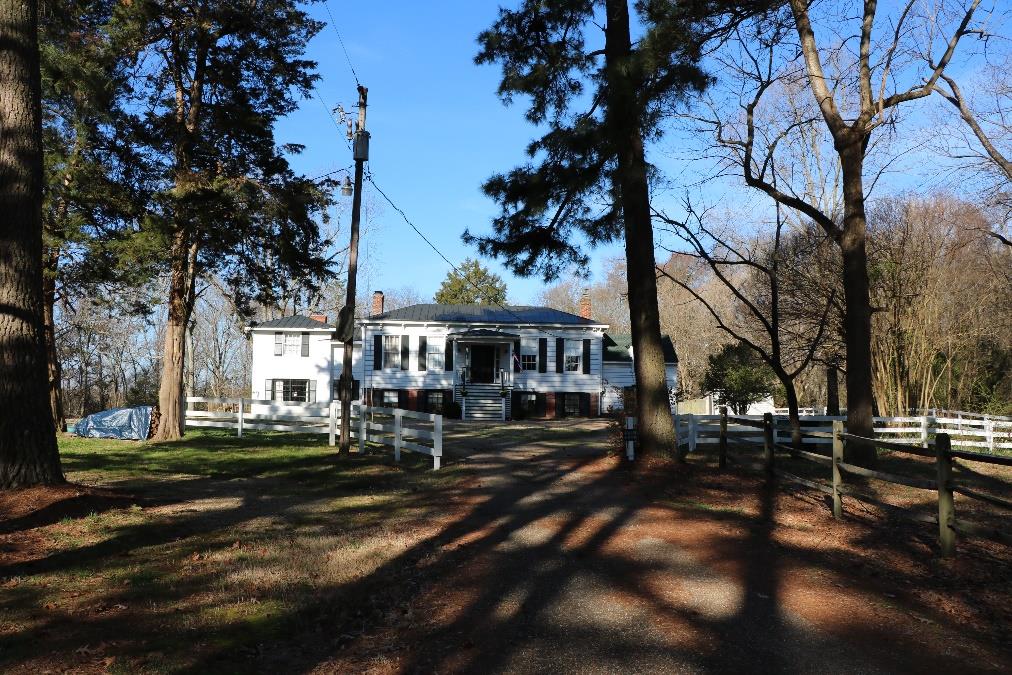 | ||||||||||
| Crow's Nest (FY06) | Natural Area Preservation | FY06 | 1770 | Stafford County | Virginia Department of Conservation and Recreation | State | Northern Virginia Conservation Trust | 38.36117072 | -77.327537 | A grant award of $500,000 was made to Northern Virginia Conservation Trust to assist with the fee simple acquisition of an unfragmented and regionally and globally significant coastal plain hardwood forest and extensive tidal and non-tidal wetlands in Stafford County. https://www.dcr.virginia.gov/natural-heritage/natural-area-preserves/crowsnest |
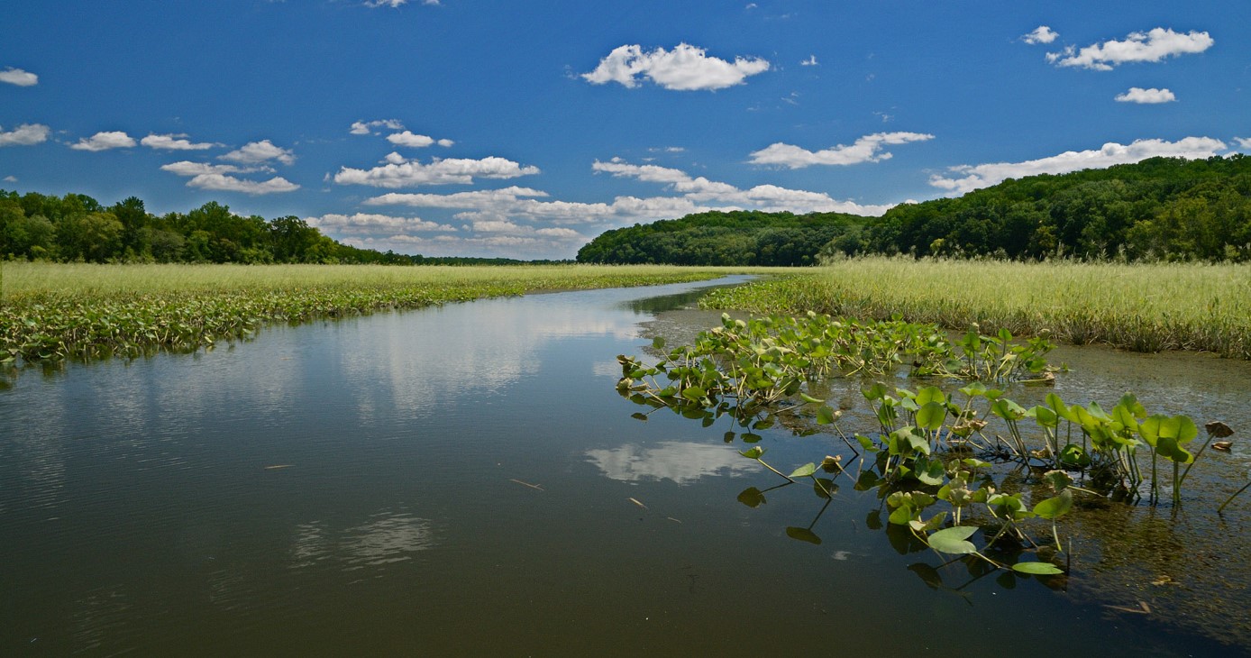 | ||||||||||
| Crow's Nest (FY09) | Natural Area Preservation | FY09 | 1100 | Stafford County | Virginia Department of Conservation and Recreation | State | Northern Virginia Conservation Trust | 38.36216769 | -77.356222 | A grant award for $800,000 helped Northern Virginia Conservation Trust acquire 1,100 acres as an addition to the 1,770 acre Crow's Nest Natural Area Preserve. The site supports five significant natural communities, including a globally rare Coastal Plain Dry Calcareous Forest (G1) and Tidal Hardwood Swamp (G3). https://www.dcr.virginia.gov/natural-heritage/natural-area-preserves/crowsnest |
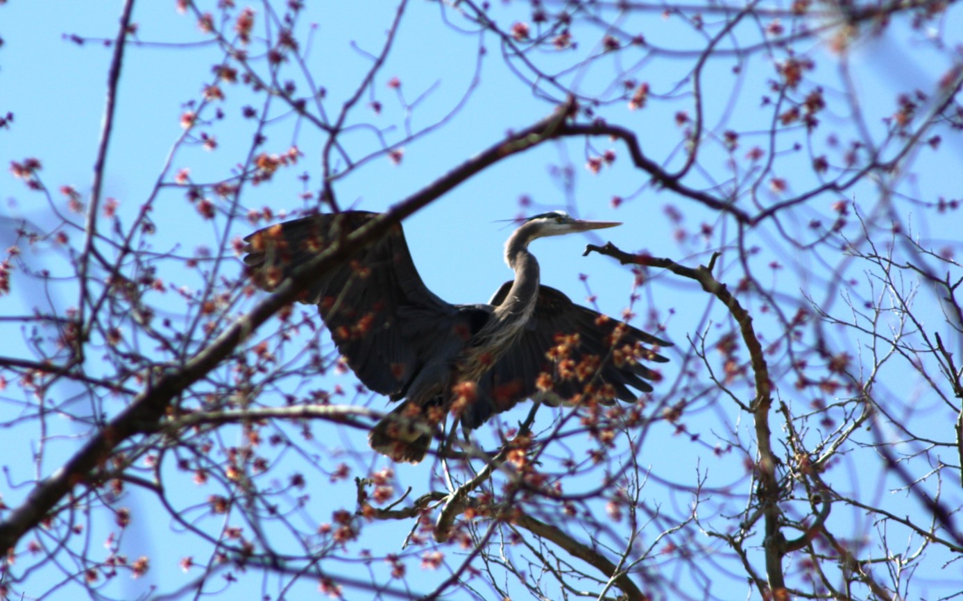 | ||||||||||
| Crow's Nest NAP Additions (FY20) | Natural Area Preservation | FY20 | 1.3 | Stafford County | Virginia Department of Conservation and Recreation | State | Virginia Department of Conservation and Recreation | 38.368854 | -77.364394 | DCR’s Natural Heritage Program was able to acquire two small adjacent parcels to Crow’s Nest Natural Area Preserve. The tracts fall within two categories of ConserveVirginia. Both parcels are located within one of Virginia’s essential conservation sites, as well as a mapped ecological core with the highest ranking possible in Virginia. The parcels contribute to resource protection goals for the larger preserve as both are located at vulnerable points that formerly allowed uncontrolled and illegal access to the preserve. Acquiring these lots enhanced DCR’s ability to control and eliminate active and ongoing threats that include poaching, drug-related activity, off-road vehicle use and littering. |
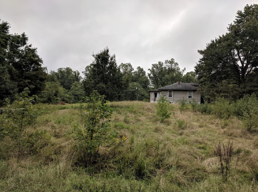 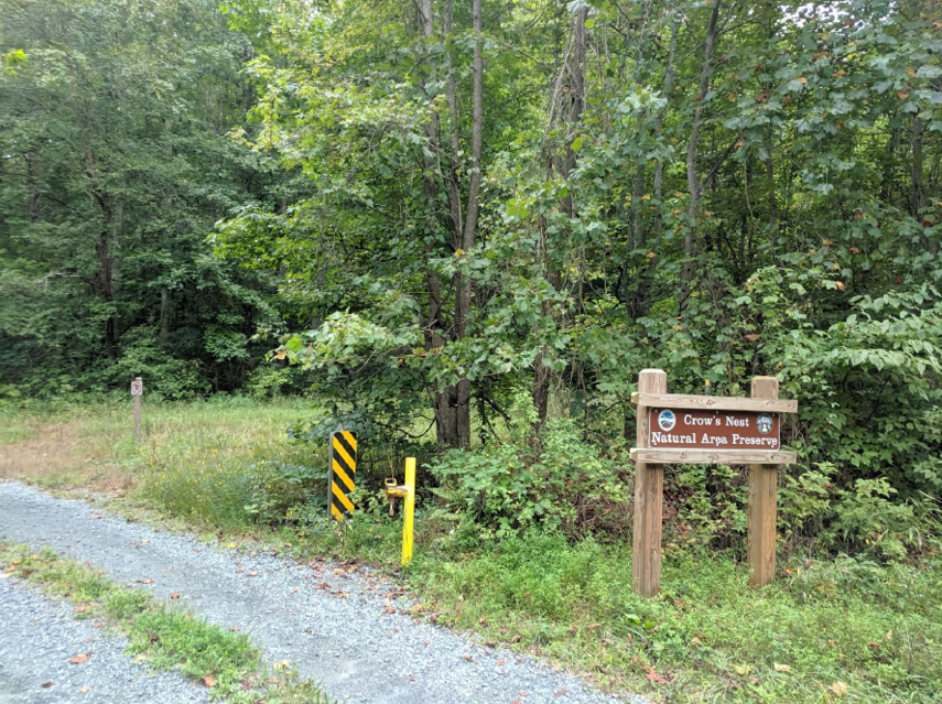 | ||||||||||
| Crow's Nest NAP Southern Boundary Addition | Natural Area Preservation | FY20 | 110.52 | Stafford County | Virginia Department of Conservation and Recreation | Private | Northern Virginia Conservation Trust | 38.352486 | -77.391674 | NVCT purchased this 110-acre parcel, partially funded with a VLCF grant of $256,000. It is immediately adjacent to the heronry property, dedicated as part of the Crow's Nest Natural Area Preserve in 2018. The newly purchased parcel has also been dedicated to DCR as an addition to the preserve and its conservation protects the heronry from encroaching development pressure. The property will be managed by DCR as part of the preserve, which allows public use. |
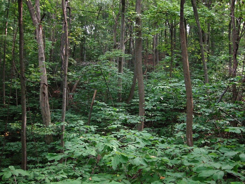 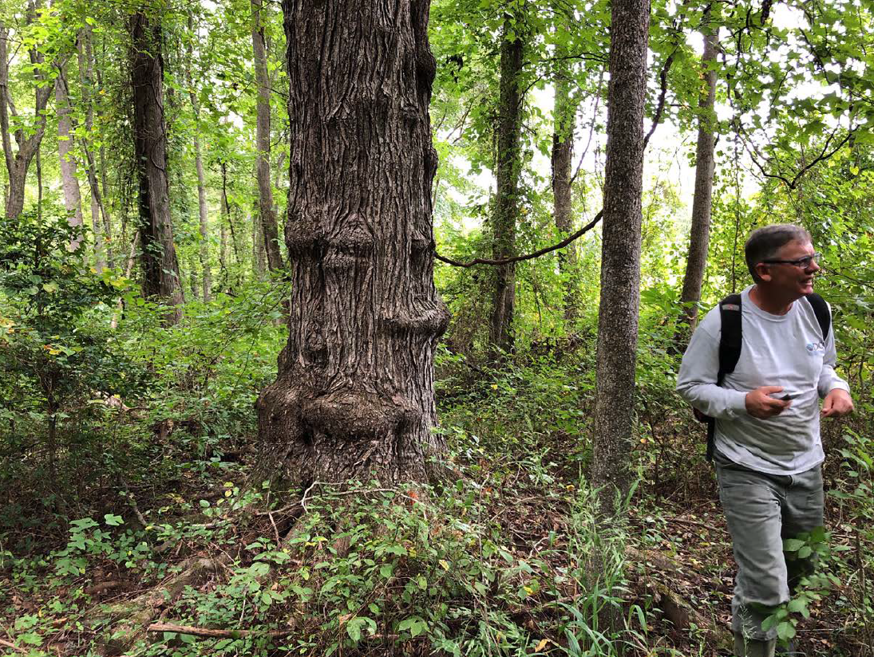 | ||||||||||
| Crow's Nest Natural Area Preserve - Crow's Nest Harbor Partnership Phase 1 | Natural Area Preservation | FY25 | 262.00 | Stafford County | Virginia Department of Conservation and Recreation | State | Virginia Department of Conservation and Recreation, Division of Natural Heritage | 38.368109 | -77.357455 | The Department of Conservation and Recreation's Natural Heritage Division (DCR-DNH) was awarded a grant to protect 262 acres at Crow's Nest NAP with the help of Stafford County and the Northern Virginia Conservation Trust (NVCT). By acquiring over 101 individual previously subdivided parcels, this project will continue building on one of VLCF's most applauded conservation success stories and long-standing partnerships. This project will further protect one of Virginia's essential conservation sites. By acquiring key inholdings within the site this project will improve the long-term resilience of one of the state's largest and best examples of Northern Coastal Plain/Piedmont Mesic Mixed Hardwood Forest, one of northern Virginia's most significant ecological cores, and protect significant previous financial investments in the NAP by numerous partners. Both Stafford and NVCT have acquired these key inholdings with the intention of transfer to DCR as part of the Preserve. Upon transfer and conservation of these properties, DCR-DNH will expand public access at CNNAP, which is already the Commonwealth's most visited preserve, via new hiking trails and a new parking area. |
 | ||||||||||
| Crow's Nest Natural Area Preserve (FY17) | Open Spaces and Parks | FY17 | 124.56 | Stafford County | Stafford County | Local | Stafford County | 38.36206403 | -77.389183 | Stafford County purchased 125 acres on the Crow's Nest peninsula adjacent to the Potomac Creek heron rookery and approximately 1,800 feet from Crow's Nest Natural Area Preserve with the assistance of a VLCF grant award of $433,000. The property was conveyed to the Virginia Department of Conservation and Recreation as an addition to the Crow's Nest Natural Area Preserve. Acquisition of this property resulted in the protection of 121 acres of forest land, 6,400 feet of streams and wetlands, 12 historic resource sites, wildlife habit, the federally listed Small Whorled Pogonia, and the Potomac Creek heron rookery. It also allows for the expansion of the hiking trail network developed within the existing natural area preserve. https://www.dcr.virginia.gov/natural-heritage/natural-area-preserves/crowsnest |
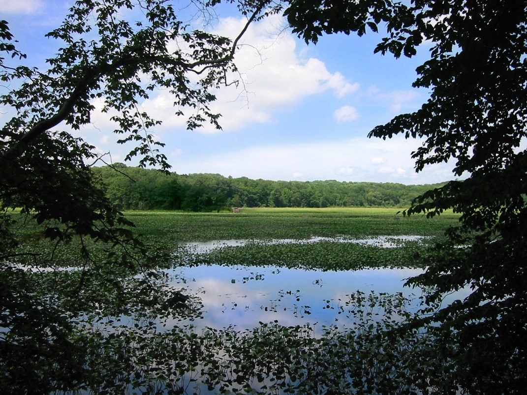 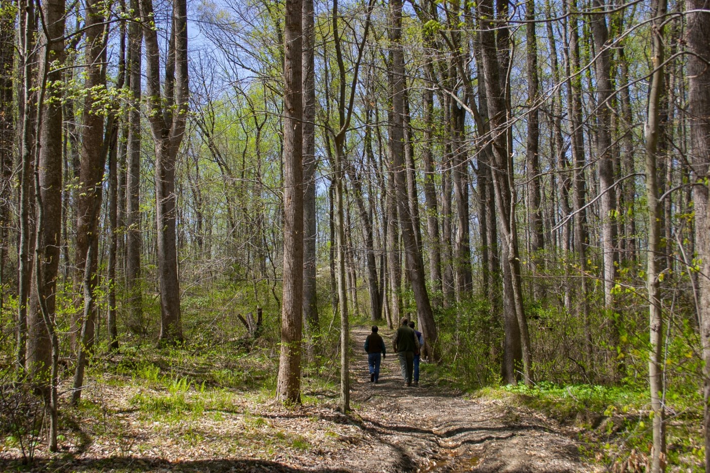 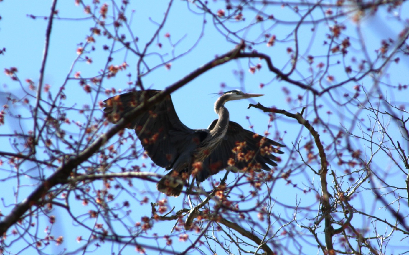 | ||||||||||
| Crow’s Nest Natural Area Preserve Addition – Accokeek Bottomlands II (FY23) | Natural Area Preservation | FY23 | 222.00 | Stafford County | Virginia Department of Conservation & Recreation - Division of Natural Heritage | State | Virginia Department of Conservation & Recreation - Division of Natural Heritage | 38.378527 | -77.373206 | DCR’s Natural Heritage Division received $390,000 to support the fee-simple purchase of three key parcel additions to Crow’s Nest Natural Area Preserve in Stafford County, totaling 222 acres. These tracts enhance DCR’s ability to protect natural heritage resources and key visual and ecological buffers along the main public access corridor into the Preserve and prevent incompatible development. The majority of the property includes forested wetlands and riparian areas along Accokeek Creek and one of the parcels supports the state endangered and federally threatened Small Whorled Pogonia (Isotria medeoloides). All of the parcels are located in one of Virginia’s “essential conservation sites” as well as a mapped “ecological core” with the third highest ranking possible in Virginia. |
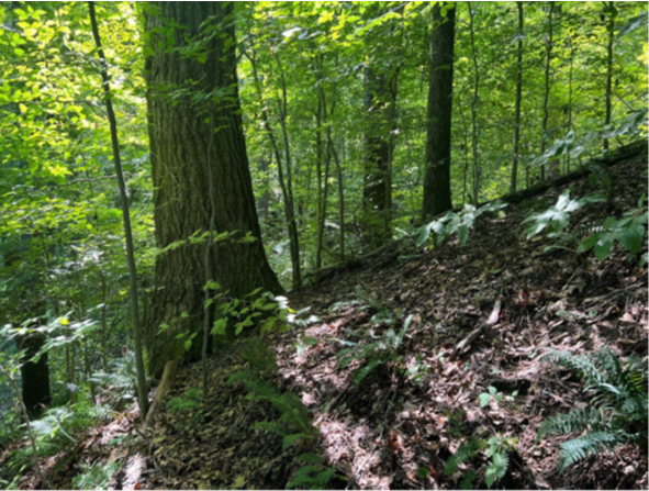 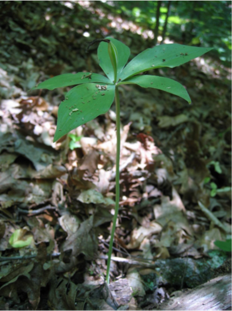 | ||||||||||
| Crow’s Nest Natural Area Preserve Addition: Accokeek Bottomlands | Natural Area Preservation | FY21 Round 2 | 59 | Stafford County | Virginia Department of Conservation and Recreation - Natural Heritage Division | State | Virginia Department of Conservation and Recreation - Natural Heritage Division | 38.376343 | -77.361125 | DCR’s Natural Heritage Division received VLCF funds to purchase this 59-acre property in Stafford County as an addition to Crow’s Nest Natural Area Preserve. Acquisition of this tract enhances DCR’s ability to protect key visual and ecological buffers along the main public access corridor into the preserve and prevent incompatible development. The majority of the property includes forested wetlands and extensive forested riparian buffers along Accokeek Creek that provide habitat for numerous species of greatest conservation need including songbird habitat. |
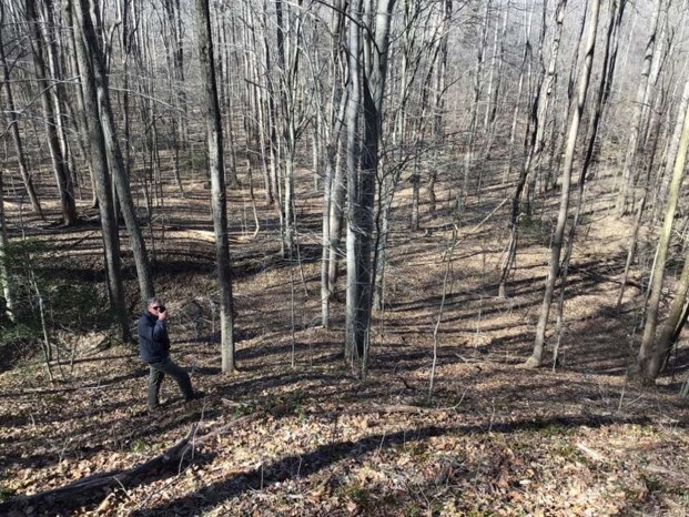 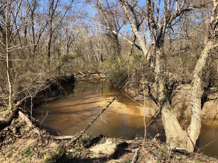  | ||||||||||
| Culpeper Crossing at Rappahannock Station Battlefield | Open Spaces and Parks | FY18 | 12.36 | Culpeper County | Virginia Department of Historic Resources | Private | American Battlefield Trust | 38.52774548 | -77.819303 | The American Battlefield Trust (ABT) utilized an $82,159 VLCF grant to assist with the purchase of this important 12-acre battlefield property situated along the scenic Rappahannock River in Culpeper County. The property has frontage along the James Madison Highway, a component of the Journey Through Hallowed Ground American Byway. The trust intends to restore and provide interpretive information on the site for the public to learn more about this important site during the wartime crossing of the Rappahannock River. |
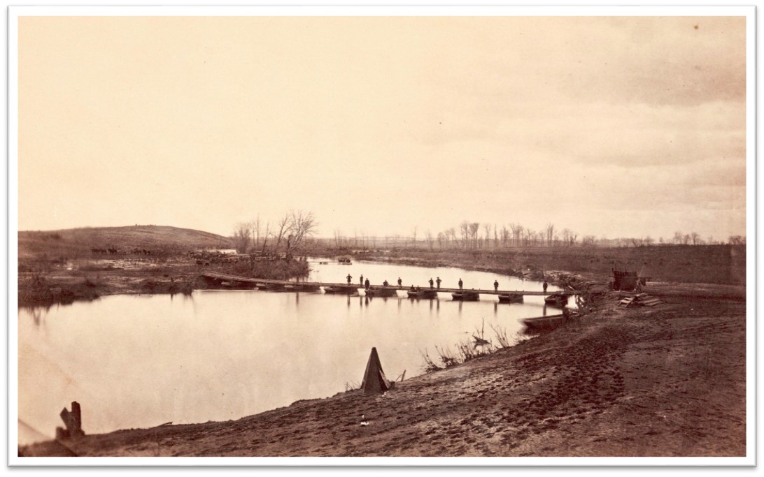   | ||||||||||
| Cypress Bridge Swamp NAP Addition | Natural Area Preservation | FY20 | 18 | Southampton County | Virginia Department of Conservation and Recreation | State | Virginia Department of Conservation and Recreation | 36.677185 | -77.041743 | DCR's Natural Heritage Program was able to acquire in fee 18 acres that was added to the Cypress Bridge Swamp Natural Area Preserve. The tract falls within four categories of ConserveVirginia. The preserve is located in one of Virginia’s essential conservation sites, encompassing five different natural heritage resources deemed critical for biodiversity conservation in Virginia, including one irreplaceable element found nowhere else in the Commonwealth. The newly-acquired parcel is a key inholding at the preserve. |
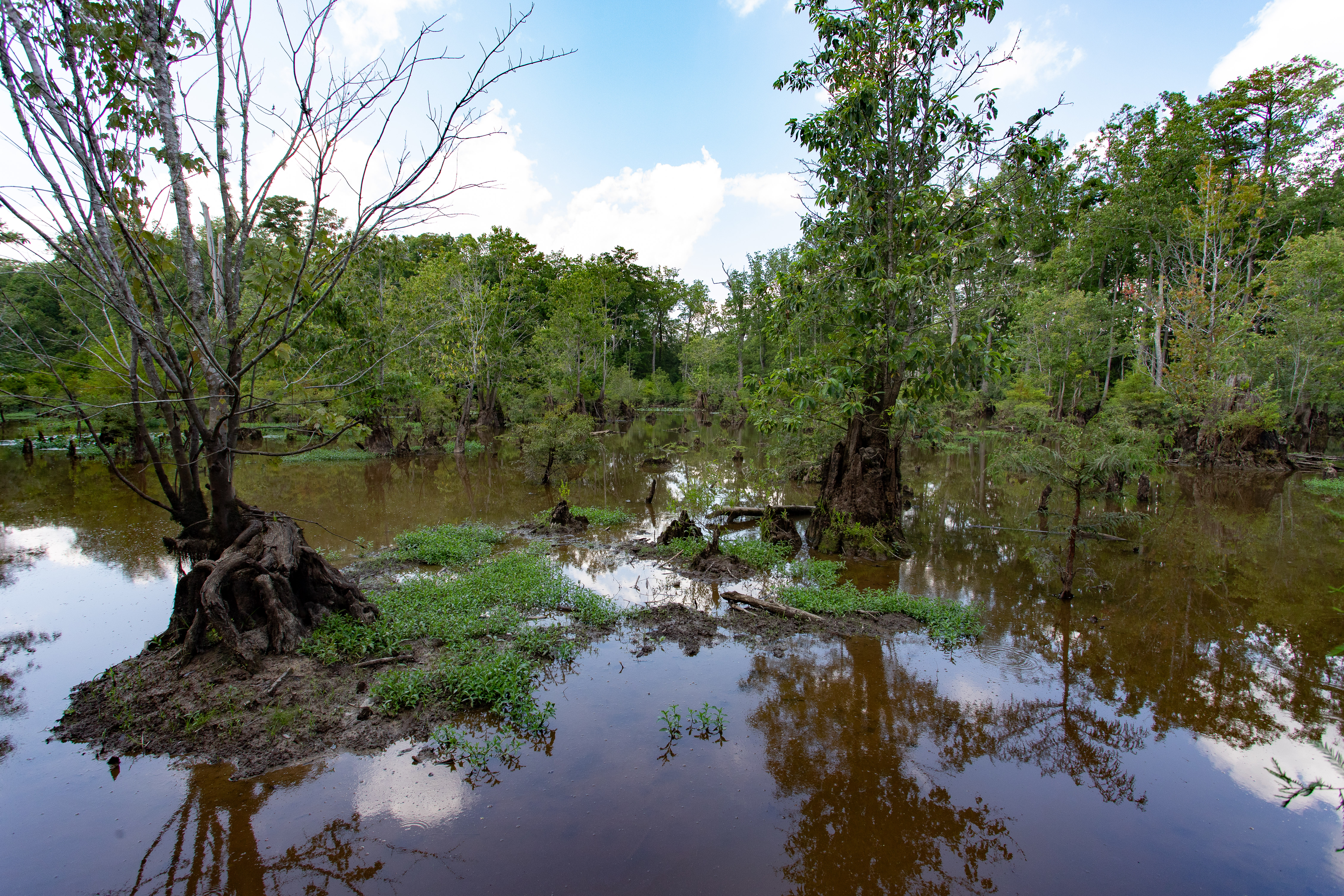 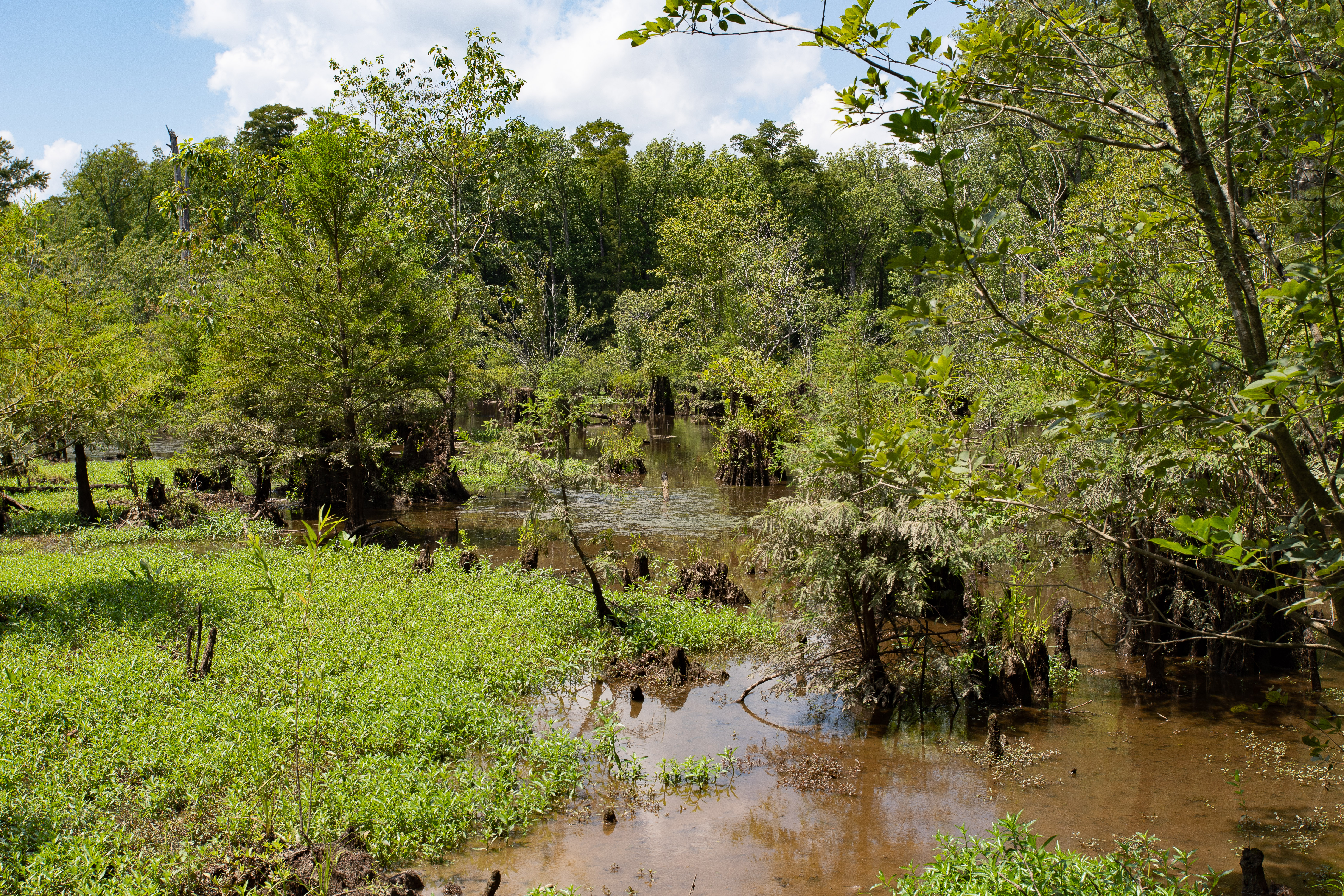 | ||||||||||
| Cypress Locks Park (withdrawn) | Open Spaces and Parks | FY17 | 17 | City of Virginia Beach | City of Virginia Beach | 36.71903262 | -76.098086 | The City of Virginia Beach was awarded a grant of $165,000 to complete acquisition of a 17-acre tract of land situated along the North Landing River. The tract will be developed by the City as a gateway park for canoe and kayak access to the North Landing River, a state-designated scenic waterway with over 10,000 acres of conserved lands encompassing 15 miles of river shoreline. The project will help meet public recreation and resource conservation needs identified in the Virginia Outdoors Plan and 2016 City of Virginia Beach Comprehensive Plan. More than one million people live within 20 miles of the property. This project was withdrawn. | ||
| Dalton's Landing Canoe Launch Site | Open Spaces and Parks | FY17 | 1.5 | Campbell County | Town of Altavista | Local | Town of Altavista | 37.12131786 | -79.373734 | The Town of Altavista requested VLCF assistance to obtain an easement on a 1.50-acre property to provide a public water access site for fishing and canoeing. Once acquired, the site, Dalton's Landing, will serve as the beginning point of an approximate seven-mile water trail on the Staunton River (Roanoke River) and end at the Virginia Department of Game and Inland Fisheries boat ramp located at Altavista's English Park. The need for public access to the Staunton River has been an identified need in the 2002, 2007, and 2013 Virginia Outdoors Plans. This project received a grant award of $23,313. https://www.altavistava.gov/residents/dalton_s_landing_canoe_launch.php |
   | ||||||||||
| Daniel and Pamela Bell Farm | Farmland Preservation | FY26 | 20.00 | Stafford County | Stafford County | Private | Stafford County | -77.364281 | 38.279680 | Stafford County was awarded VLCF funding to support a project in their County’s Purchase of Development Rights (PDR) Program. A conservation easement on the Daniel and Pamela Bell Farm will be held by Stafford County protecting 20 acres of pastureland for livestock as well as prime farmland soils and soils of statewide importance. The property is within half a mile of conserved lands under easement and is located along Hollywood Farm Road, a rural public road, providing visual access to the traveling public. |
  | ||||||||||
| Darden Farms | Forestland Preservation | FY26 | 1052.68 | Southampton County | Virginia Outdoors Foundation | Private | Virginia Outdoors Foundation | -76.946318 | 36.613982 | The Virginia Outdoors Foundation received a VLCF grant to put an easement on the Darden Farm property. Darden Farm is a Century Farm containing 1,053 acres in Southampton County with approximately 630 acres of working forestland and 300 acres of farmland. Ninety percent of the property will remain in forestal use in perpetuity under an open-space easement to be held by Virginia Outdoors Foundation. The farmland and forestland on the eastern portion of the property are within areas designated by DCR's Virginia Natural Landscape Assessment as ecological cores ranked C3 (High). The property contains approximately 8,000 feet of perennial streams that will be protected with 50’ forested riparian buffers. |
| Deep Run Ponds NAP Addition | Natural Area Preservation | FY17 | 124 | Rockingham County | Virginia Department of Conservation and Recreation | 38.26441229 | -78.769604 | The Potomac Appalachian Trail Club (PATC) utilized a grant of $574,600 to acquire this 124-acre parcel that lies along the west flank of Shenandoah National Park, adding to the Deep Run Ponds Natural Area Preserve. This preserve in Rockingham County is one of the largest remaining Shenandoah Valley sinkhole pond systems in Virginia. These sinkhole ponds comprise one of Virginia's most unusual and conservation-worthy ecosystems and support an interesting assemblage of rare plants and animals. The adjoining Natural Area Preserve protects outstanding biodiversity, including two globally rare and federally listed plant species. Once purchased, PATC transferred a portion of the property to the Natural Heritage Division of the Department of Conservation and Recreation, and a portion was put under a Natural Area Deed of Dedication. https://www.dcr.virginia.gov/natural-heritage/natural-area-preserves/deeprun | ||
  | ||||||||||
| Deep Run Ponds Natural Area Preserve – Battlefield Addition tract (FY23) | Natural Area Preservation | FY23 | 110.00 | Rockingham County | Virginia Department of Conservation & Recreation - Division of Natural Heritage | State | Virginia Department of Conservation & Recreation - Division of Natural Heritage | 38.292104 | -78.764712 | DCR’s Natural Heritage Program seeks $453,800 in VLCF funds to support the Deep Run Ponds Natural Area Preserve – Battlefield addition tract acquisition. The purchase of 100 acres that adjoin the Preserve and overlap the core area of the Port Republic Civil War Battlefield will also support two globally rare natural communities and four rare plant species – two of which are state and federally listed as threatened or endangered. Although partially protected by an easement, the acquisition of this acreage will substantially improve long-term protections by removing a building footprint, expanding wetland buffers, restricting incompatible forest management practices, and creating opportunities for ecological restoration. This acquisition will improve the long-term resiliency of one of Virginia’s most outstanding B1-ranked conservation sites and protect a globally significant National Audubon Society Important Bird Area. |
 | ||||||||||
| Deep Run Ponds Natural Area Preserve Land Donation | Natural Area Preservation | FY22 | 1 | Rockingham County | Virginia Department of Conservation and Recreation | State | Virginia Department of Conservation and Recreation - Natural Heritage Program | 38.278058 | -78.790138 | DCR's Natural Heritage Division used VLCF grant funds to complete the due diligence necessary to accept the fee simple donation of a one-acre parcel adjoining the 905-acre Deep Run Ponds Natural Area Preserve in Rockingham County. The property lies within the priority Deep Run – Madison Run Pond Conservation Site. Acquisition of the tract expands the preserve and removes the possibility of incompatible development. |
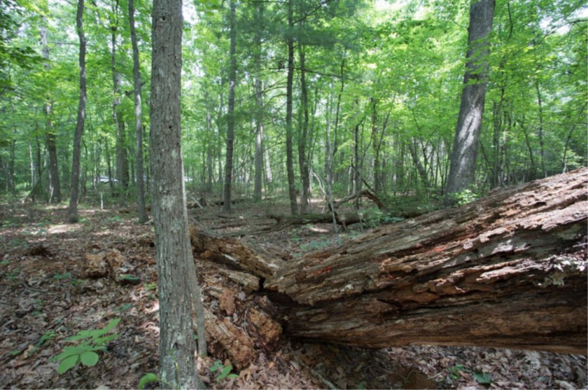 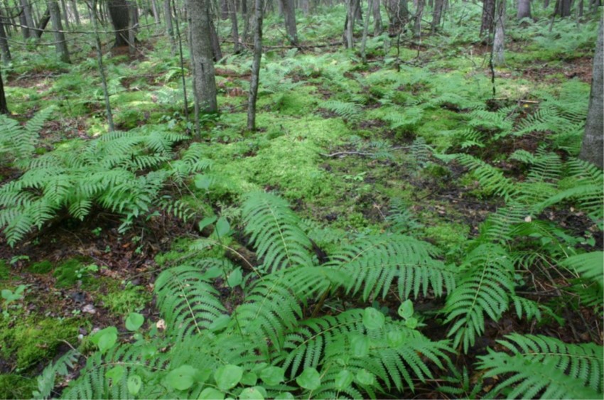 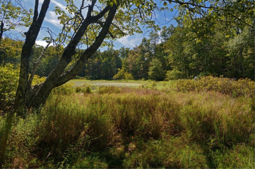 | ||||||||||
| Deer Creek | Open Spaces and Parks | FY24 | 96 | City of Franklin | Virginia Outdoor Foundation | Local | Franklin Parks Foundation | 38.317008 | -77.160589 | The Franklin Parks Foundation, in partnership with the Virginia Outdoors Foundation, and the City of Franklin, proposes to acquire 96 acres with river frontage on the state scenic Blackwater River for the creation of additional parkland to Blackwater Park as well as a primitive camp site and boat launch. This property contains old growth hardwood bottomlands and sits at the intersection of two important Natural Heritage sites, the Blackwater River Main Stem Conservation Site and the Antioch Swamp Stream Conservation unit, as well as within the TNC Chowan Sandridge/Blackwater River Terrestrial Portfolio. This site supports several rare species and significant natural communities including anadromous fish and colonial water birds. The wetland forests rank high on over 60 acres of river frontage. The wetlands are ranked Class III for Watershed priority conservation. The upland portion of the property is ranked Class IV, the second most vulnerable to development. The park will be open for daily public access. |
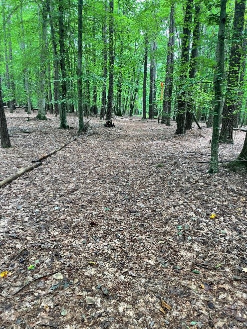 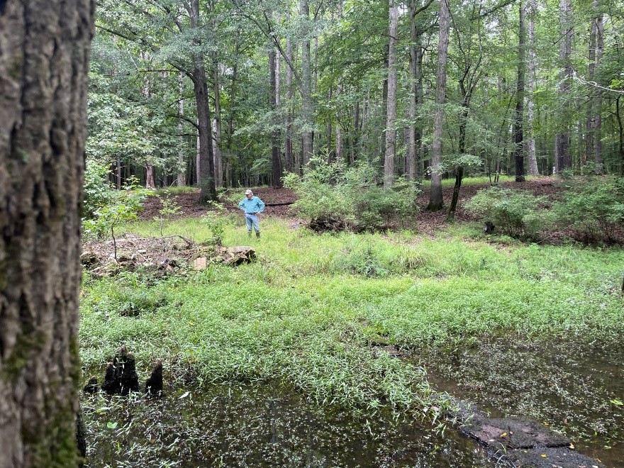 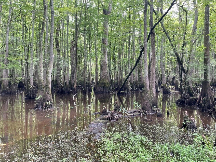 | ||||||||||
| Dendron Swamp Natural Area Preserve Addition (withdrawn) | Natural Area Preservation | FY22 | 102 | Sussex County | Virginia Department of Conservation and Recreation | State | Virginia Department of Conservation and Recreation - Natural Heritage Program | 37.046563 | -76.990211 | The Dendron Swamp Natural Area Preserve Addition project, proposed by DCR’s Natural Heritage Division, received funds to acquire 102 acres in Sussex County adjoining the existing 636-acre preserve. The property lies within the Dendron Swamp Conservation Site and supports an unprotected portion of an outstanding occurrence of a Bald Cypress – Water Tupelo Brownwater Swamp community. This project was withdrawn. |
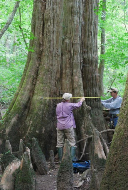 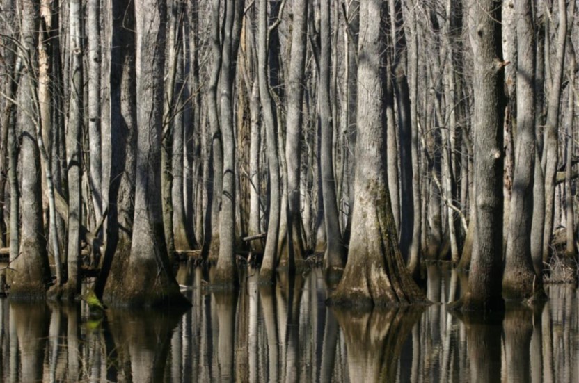 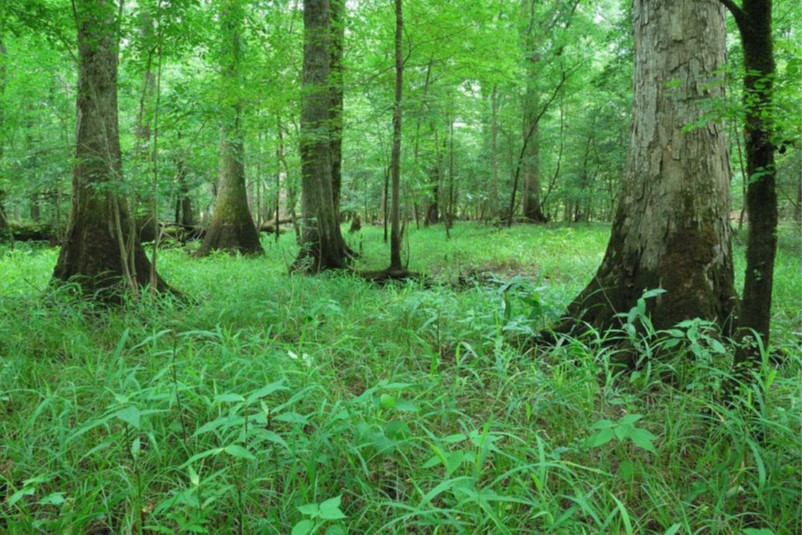 | ||||||||||
| Difficult Creek NAP Addition (withdrawn) | Natural Area Preservation | FY18 | 68.8 | Halifax County | Virginia Department of Conservation and Recreation | 36.7538277 | -78.716852 | DCR's Natural Heritage Program received a grant award of $174,200 to acquire approximately 69 acres in Halifax County as an addition to the Difficult Creek Natural Area Preserve. This Preserve is designed to protect one of the most significant conservation sites in the piedmont and one of the most diverse and significant botanical assemblages in all of Virginia. Not only does the site have the highest diversity of wildflowers known in the Virginia Piedmont, it provides habitat for 12 species of plants and one species of butterfly that are rare in the Commonwealth. Of special significance is one of only two known populations in the world for Tall Barbara's Buttons (Marshallia legrandii). Not only did the subject tract directly adjoin the existing Preserve, with which it shared nearly 3,200 feet of boundary, it also filled an unprotected gap between the NAP and the nearby Kerr Reservoir lands protected and managed by the US Army Corps of Engineers. This project was withdrawn. | ||
| Difficult Creek Natural Area Preserve - Bournes Addition | Natural Area Preservation | FY26 | 23.50 | Halifax County | VA Dept. of Conservation and Recreation - Department of Natural Heritage | State | VA Dept. of Conservation and Recreation - Department of Natural Heritage | -78.731460 | 36.763160 | Department of Conservation and Recreation's Division of Natural Heritage (DNH) received grant funding for the fee-simple purchase of a parcel long prioritized for its contribution to the resilience of the existing Difficult Creek Natural Area Preserve (DCNAP) in Halifax County. This Preserve is designed to protect one of the Commonwealth's irreplaceable conservation sites and most significant biodiversity hotspots, known to support 28 documented natural heritage resources, including six found nowhere else in the Commonwealth, and two that are extant at only two locations in the Commonwealth. The property shares a boundary with DCNAP and its acquisition will enhance DNH’s ability to protect natural heritage resources by precluding incompatible development and facilitating prescribed fire management. Continued use of prescribed fire is critical to maintain and increase populations of multiple natural heritage resources DCNAP is designed to protect. |
   | ||||||||||
| Difficult Creek Natural Area Preserve - Browne Farm | Natural Area Preservation | FY24 | 45.38 | Halifax County | Virginia Department of Conservation and Recreation | Private | Virginia Department of Conservation and Recreation | 36.764562 | -78.725549 | DCR-DNH received VLCF funding to support acquisition of an easement on 45 acres in Halifax County, adjoining Difficult Creek Natural Area Preserve. The tract is almost entirely forested with mature upland hardwood forests predominantly comprised of the globally rare Southern Piedmont Hardpan Forest. This easement will enhance DCR's ability to protect natural heritage resources and key visual and ecological buffers along the main public access corridor into the preserve and prevent incompatible development. Located in one of the most significant essential conservation sites in Virginia, the property harbors multiple natural heritage resources including four rare plants and one globally rare natural community. The property falls within two categories of ConserveVirginia and lies within a conservation sites and biodiversity hotspot. The property is also surrounded by the preserve on three sides, and thus represents an important resilience tract to enhance DCR's ability to conduct much needed management and restoration at the preserve with prescribed fire. As such, this property has been a long-standing protection priority for DCR. |
  | ||||||||||
| Difficult Creek North Addition | Natural Area Preservation | FY22 | 1.47 | Halifax County | Virginia Department of Conservation and Recreation | State | Virginia Department of Conservation and Recreation - Natural Heritage Program | 36.760758 | -78.726636 | The Natural Heritage Division acquired a 1.4-acre inholding within the Difficult Creek Natural Area Preserve in Halifax County near Scottsburg. The preserve supports a high number of significant natural heritage resources, many of which are fire-adapted. Acquisition of this inholding improves the ability to implement prescribed fires that are necessary to adequately manage and restore the vegetation and natural heritage resources. DCR acquired the property with the current owners/residents retaining a life estate. |
  | ||||||||||
| Difficult Creek South Addition | Natural Area Preservation | FY22 | 2.16 | Halifax County | Virginia Department of Conservation and Recreation | State | Virginia Department of Conservation and Recreation - Natural Heritage Program | 36.744853 | -78.746239 | The Department of Conservation and Recreation’s Natural Heritage Division received funding to support a two-acre addition to the 819-acre Difficult Creek Natural Area Preserve (DCNAP) in Halifax County near Scottsburg. This “south addition” parcel expanded connectivity between DCNAP and the Southside Virginia Conservation and Recreation Complex. Together, these areas provide of one of the largest landscape-scale projects in the Piedmont region (from Maryland to Alabama). Situated on one of the Virginia’s rarest geologic types, this small tract also supports intact hardwood forest that likely represents a significantly rare community type. |
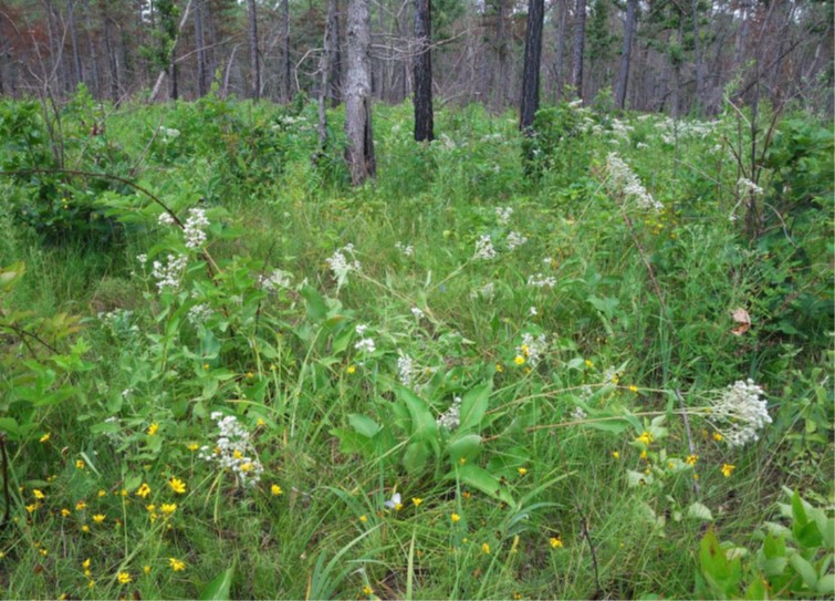 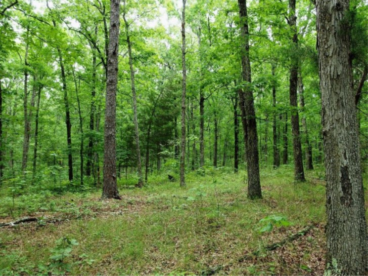 | ||||||||||
| Ditchley Farm | Open Spaces and Parks | FY16 | 162.31 | Northumberland County | Northern Neck Land Conservancy/Northumberland County | Private | Virginia Outdoors Foundation | 37.73558105 | -76.336172 | Funding was awarded to assist in the purchase of a conservation easement on a 162-acre historic waterfront property near Kilmarnock with multiple conservation values, including significant agricultural, historic, and recreational features. A Northern Neck Land Conservancy easement now ensures public access to tidal shoreline areas and the Chesapeake Bay, and permanently protects the property from intensive residential and commercial development. Project objectives included providing recreational access to Dividing Creek, directly across from the Hughlett Point State Natural Area Preserve, and two miles from the main stem of the Chesapeake Bay, in an area where public access opportunities are scarce. A second canoe/kayak access site will be developed on Prentice Creek. Ditchley is a productive farm that has been in continuous cultivation for 400 years. This project received a grant award of $200,000. |
   | ||||||||||
| Dock Street | Open Spaces and Parks | FY20 | 4.33 | City of Richmond | Capital Region Land Conservancy | Local | Capital Region Land Conservancy | 37.524735 | -77.419698 | VLCF provided a grant of $500,000 to assist Capital Region Land Conservancy (CRLC), in partnership with The Conservation Fund and City of Richmond, to acquire and conserve 4.33 acres of river front property along Dock Street and the James River. The site was the only remaining privately-owned parcel along the north bank of the tidal James River in the city. Ownership of the tract protects the viewshed of Libby Hill Park. The property allows for extension of the Virginia Capital Trail and expands city-owned parkland by incorporating the property into the city’s James River Park System. DCR co-holds an open-space easement with CRLC that protects the conservation values of the property. |
| Dorsey Orchard Tract | Farmland Preservation | FY13 | 80 | Clarke County | Clarke County Easement Authority | Private | Clarke County Easement Authority | 39.14550886 | -77.906379 | The Clarke County Easement Authority was awarded VLCF funds for the purchase of a conservation easement on 80 acres in Clarke County. This property is located in the Long Marsh Rural Historic District. The farm also has implemented numerous Best Management Practices including conservation crop rotation, high residue no-till, and nutrient management. In addition, there are plans to implement a wildlife habitat plan on the farm by planting native warm season grasses, wildflowers and shrubs on portions of the farm. Matching funds were provided by NRCS Farm and Ranchland Protection Program, landowner donation, and Clarke County Easement Authority/Virginia Farmland Preservation Fund. |
   | ||||||||||
| Downtown Greens Expansion Project | Open Spaces and Parks | FY23 | 56.00 | City of Fredericksburg | Downtown Greens Inc. | Private | Downtown Greens Inc. | 38.281723 | -77.467266 | Downtown Greens, Fredericksburg’s oldest community garden, conserves 56 acres of open space adjacent to Braehead Farm, the last working farm in the City of Fredericksburg. Although small in acreage, its 23 acres of active, prime farmland provide significant community benefits that include addressing the mission of Downtown Greens to produce local food that enhances nutritional security for the City’s underserved communities. The parcel shares a 1,200-foot boundary with the Fredericksburg and Spotsylvania National Military Park, helping buffer both Braehead Farm and the adjacent Lee Drive from encroaching industrial development. Its 30 acres of bottomland forest, wetland and vernal pool habitat help generate clean water for the nearby lower Rappahannock River, a state scenic river. |
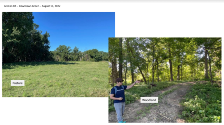 | ||||||||||
| Dragon Run Conservation Corridor | Forestland Preservation | FY06 | 164 | King and Queen County | Virginia Outdoors Foundation | Private | Friends of Dragon Run | 37.66423421 | -76.72521 | Friends of Dragon Run (FODR) received $194,000 from VLCF to purchase 164 acres of land in the riparian corridor of Dragon Run adjacent to 250 acres of previously protected land. The property has 35 acres of bald cypress swamp, 129 acres of timberland, and 4,700 linear feet of high-quality forested buffer along the main channel and a small tributary. https://www.dragonrun.org/
|
| Drexel-Morrell Center | Historic Area Preservation | FY21 Round 2 | 56.4 | Powhatan County | Belmead on the James Inc. | Private | Belmead on the James Inc. | 37.603526 | -77.977084 | The Drexel-Morrell Center was able to purchase the 56-acre Rosemont property in Powhatan that intersects the Cultural and Historic Preservation layer of ConserveVirginia. With the financial assistance of a VLCF grant, Belmead on the James conserved an historic home on the Virginia Landmarks Register and National Register of Historic Places; an original woodframe barn; 40 acres of pristine wooded space; 16 acres of open space; and a permanent waterway that bisects the property by placing the property under an open-space easement held by the Board of Historic Resources. Project partners included, among others, the Capital Region Land Conservancy. The project creates and preserves a safe-space museum for common stories, history, and cultural inter-enrichment. It is a protected learning place of preserved natural life and of beauty and simple peace where conservation and conversations combine to address how one acts locally to contribute globally to a wiser story of/on our earth. The project tells a crucially-important story of African American life impacted by the Drexel and Morrell schools in Powhatan. |
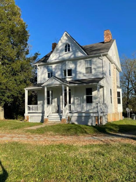 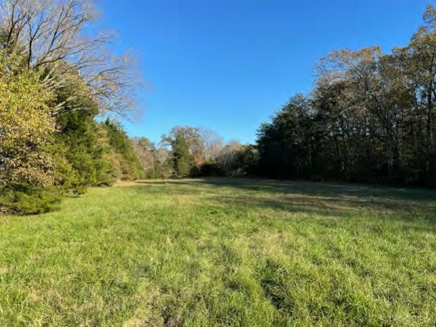  | ||||||||||
| Eagle Rock Park | Open Spaces and Parks | FY17 | 5.97 | Botetourt County | Botetourt County | Local | Botetourt County | 37.64682364 | -79.809901 | Botetourt County received a VLCF grant of $72,000 to assist in the purchase of a six-acre parcel along the James River near the town of Eagle Rock for a public park. The County will develop a loop trail, camping facilities, swimming, fishing and boating access on the property. |
   | ||||||||||
| East West Creek Farms LLC | Farmland Preservation | FY24 | 720.48 | Mecklenburg County | Virginia Outdoors Foundation | Private | Virginia Outdoors Foundation | 36.635176 | -78.155982 | Virginia Outdoors Foundation secured VLCF funds for the partial purchase of an open-space easement on a 720.48-acre family farm in Mecklenburg County. The project helps to protect prime soils and statewide important farmland, on land included in ConserveVirginia's Agriculture and Forestry category. The property is part of a larger multi-generational family farming operation, in active production of corn, beans, and tobacco, as well as cattle pasture and hay production. In addition to its agricultural importance, the property contains two miles of frontage on Parham Creek and Flat Creek, which will remain protected with 50-foot forested buffers. The buffers benefit water quality plus serve as wildlife habitat and corridors as indicated in the VA Natural Landscape Assessment Ecological Cores and the proximity (within ~1,300 feet) of an Important Bird Area as designated by the National Audubon Society. The property is also bounded on two sides by permanently protected lands under easement, which will result in a block of 1,417 conserved acres. |
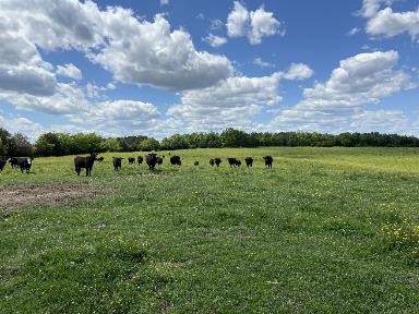 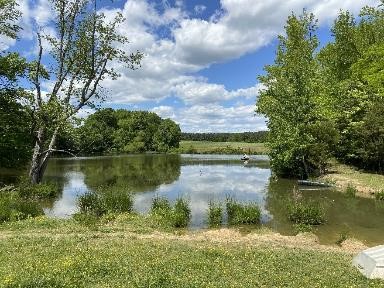 | ||||||||||
| Eastern Branch Restoration Park | Open Spaces and Parks | FY17 | 9.12 | City of Virginia Beach | City of Virginia Beach | Local | Living River Restoration Trust | 36.82389279 | -76.182668 | The Living River Restoration Trust (LRRT) received a grant award of $141,525 in VLCF funding to help acquire an 9.12-acre tract on the Eastern Branch of the Elizabeth River. The property was subsequently conveyed to the City of Virginia Beach. Located in Virginia's most populated city, Virginia Beach, the site was threatened by development. In partnership with Virginia Beach, the property has now become a nature park with kayak launch and hiking trail. The kayak launch now provides direct access onto the Eastern Branch Elizabeth River Water Trail, part of the Chesapeake Bay Gateways Network. Protecting this parcel from development ensures the integrity of the scenic view along the water trail and from Carolanne Farms Park, located just across the river. |
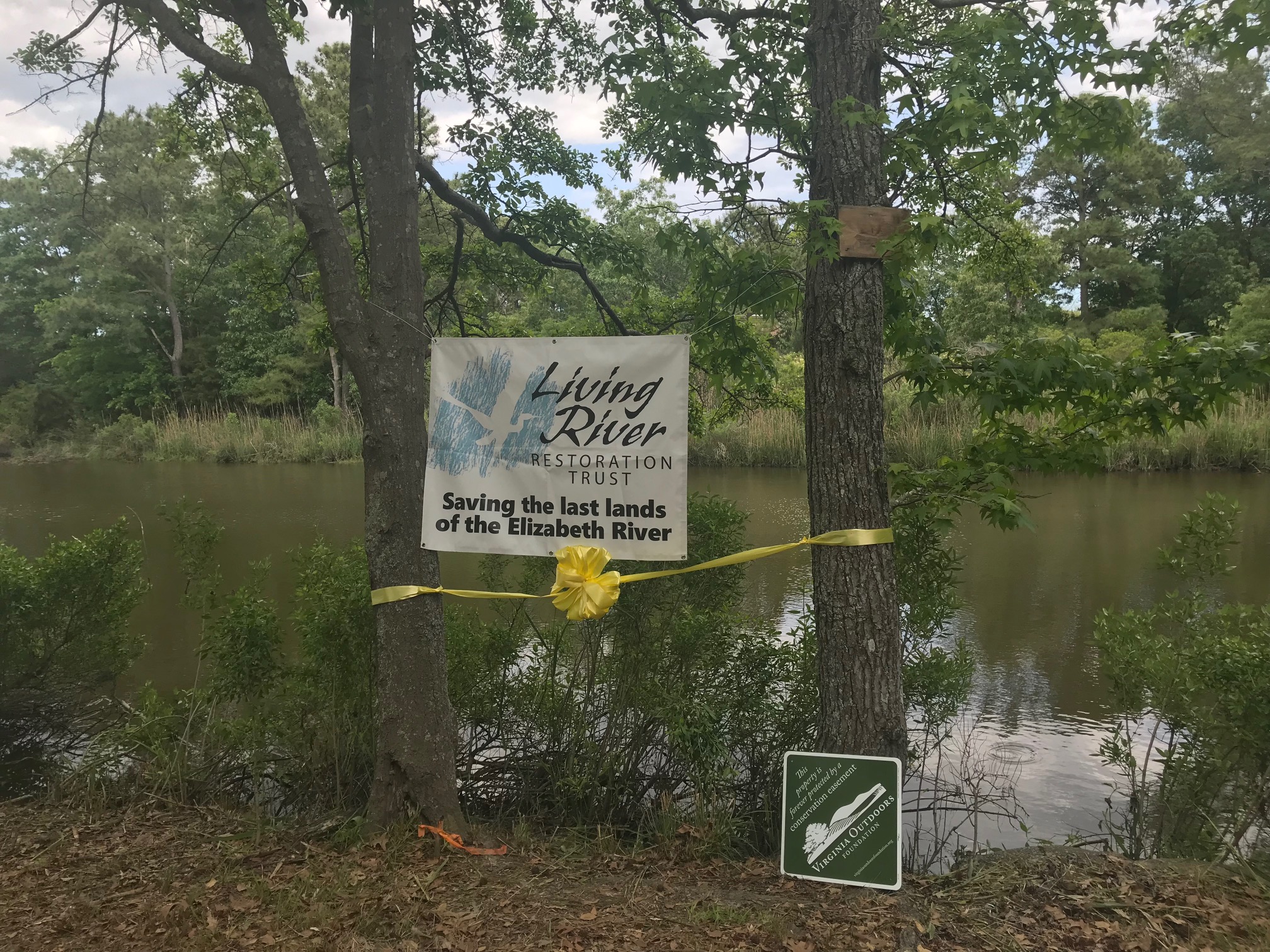 | ||||||||||
| Eastern Divide South - Hagan Tract Addition (supplemental funding) | Natural Area Preservation | FY26 | 104.00 | Montgomery County | VA Dept. of Conservation and Recreation - Department of Natural Heritage | State | VA Dept. of Conservation and Recreation - Department of Natural Heritage | -80.385625 | 37.228109 | The Department of Conservation and Recreation's Division of Natural Heritage (DNH), with assistance of The Conservation Fund, received a VLCF grant (to supplement the grant they received in FY25) for the fee-simple purchase of approximately 104 acres in Montgomery County. Located on the outskirts of Blacksburg, this property is identified as part of a focal area to conserve one of the most at risk and imperiled species in Virginia. The local karst landscape, referred to as the Ellett Escarpment, is subject to severe development pressures and notable losses of natural habitat. Conserving this property will help protect several significantly rare species, intact and mature dry calcareous forests, and approximately 1,100' of tributaries to the North Fork Roanoke River. |
  | ||||||||||
| Eastern Shore Forest Conservation Initiative (FY20) | Forestland Preservation | FY20 | 7,912 | Accomack and Northampton Counties | Virginia Department of Wildlife Resources | State | Virginia Department of Game and Inland Fisheries | 37.809813 | -75.627244 | The Department of Wildlife Resources (DWR) received VLCF funding in two grant rounds (FY2020 - $292,287; FY2021 - $421,875) to help acquire and conserve 7,912 acres of forestland located in Accomack and Northampton counties through its Eastern Shore Forest Conservation initiative. This project expands existing Wildlife Management Areas, facilitates natural marsh migration, supports coastal resiliency, provides new public lands for wildlife-related recreation, and, most importantly, improves habitat for migratory birds and species of greatest conservation need in an area of hemispheric importance. The Delmarva Peninsula, including Accomack and Northampton counties, supports 7-10 million birds in fall migration annually. The lack of sufficient food and shelter in the Virginia portion creates an energy deficit for birds attempting to cross the Chesapeake Bay and continue southward migration. The DWR and partners estimate that improvement of the forest quality on the subject property could double the food resources available to migratory birds in this region. The addition of this acreage to the public land portfolio substantially expands opportunities for wildlife viewing, hunting, fishing, hiking, outdoor recreation, and more. Project partners include the U.S. Fish and Wildlife Service, The Nature Conservancy, Ducks Unlimited, National Fish and Wildlife Foundation, the Wildlife Foundation of Virginia, and The Conservation Fund. |
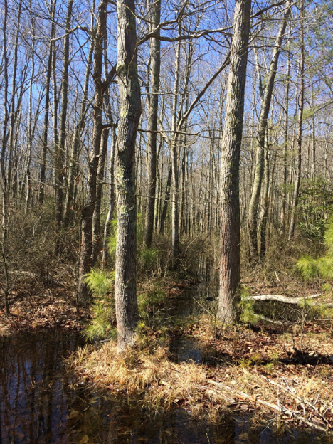 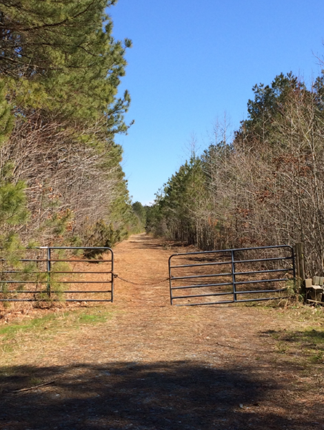 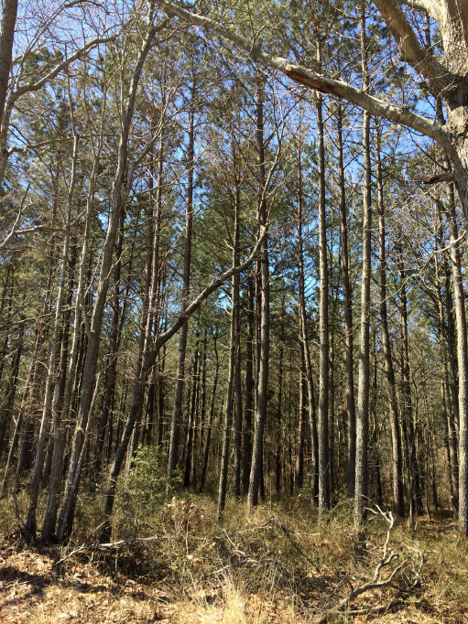 | ||||||||||
| Eastern Shore Forest Conservation Initiative (FY21 Round 1) | Forestland Preservation | FY21 Round 1 | 7,912 | Accomack and Northampton Counties | Virginia Department of Wildlife Resources | State | Virginia Department of Wildlife Resources | 37.984713 | -75.481672 | The Department of Wildlife Resources (DWR) received VLCF funding in two grant rounds (FY2020 - $292,287; FY2021 - $421,875) to help acquire and conserve 7,912 acres of forestland located in Accomack and Northampton counties through its Eastern Shore Forest Conservation initiative. This project expands existing Wildlife Management Areas, facilitates natural marsh migration, supports coastal resiliency, provides new public lands for wildlife-related recreation, and, most importantly, improves habitat for migratory birds and species of greatest conservation need in an area of hemispheric importance. The Delmarva Peninsula, including Accomack and Northampton counties, supports 7-10 million birds in fall migration annually. The lack of sufficient food and shelter in the Virginia portion creates an energy deficit for birds attempting to cross the Chesapeake Bay and continue southward migration. The DWR and partners estimate that improvement of the forest quality on the subject property could double the food resources available to migratory birds in this region. The addition of this acreage to the public land portfolio substantially expands opportunities for wildlife viewing, hunting, fishing, hiking, outdoor recreation, and more. Project partners include the U.S. Fish and Wildlife Service, The Nature Conservancy, Ducks Unlimited, National Fish and Wildlife Foundation, the Wildlife Foundation of Virginia, and The Conservation Fund. |
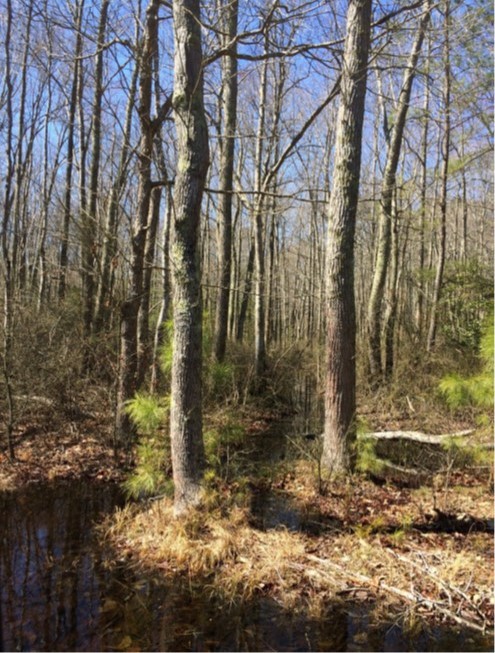 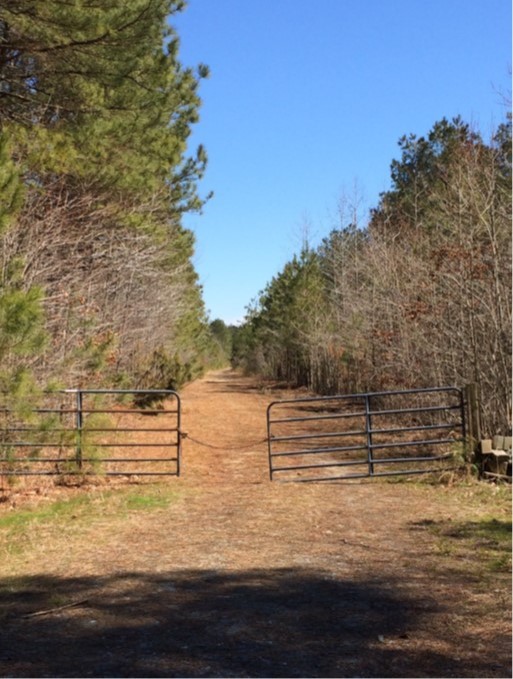 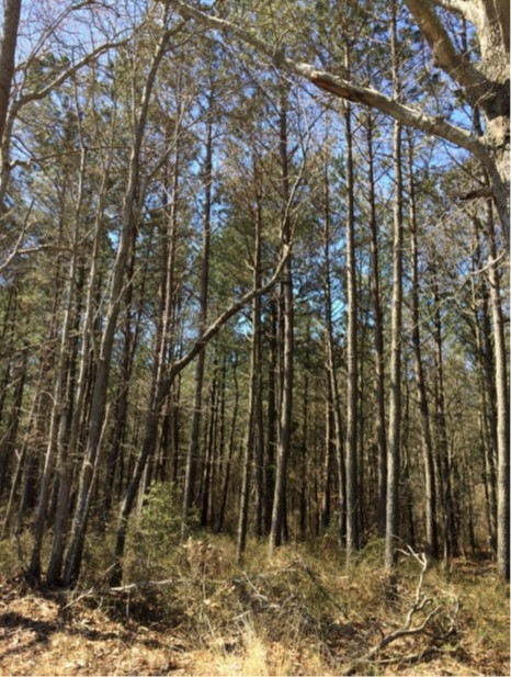 | ||||||||||
| Eastern Shore Forest Conservation Initiative (FY21 Round 2) (withdrawn) | Forestland Preservation | FY21 Round 2 | 749 | Accomack County | Virginia Department of Wildlife Resources | State | Virginia Department of Wildlife Resources | 37.746932 | -75.741191 | The Virginia Department of Wildlife Resources (DWR) received funds to acquire, conserve and improve 749 acres of forestland in Accomack County through its Eastern Shore Forest Conservation Initiative II, which complemented a VLCF-funded initiative to purchase over 7,000 acres on the Eastern Shore. This fee-simple acquisition presented opportunities to facilitate natural marsh migration, support coastal resiliency, provide new public lands for wildlife-related recreation, and, importantly, improve habitat for migratory birds and species of greatest conservation need in an area of hemispheric importance. This project was withdrawn. |
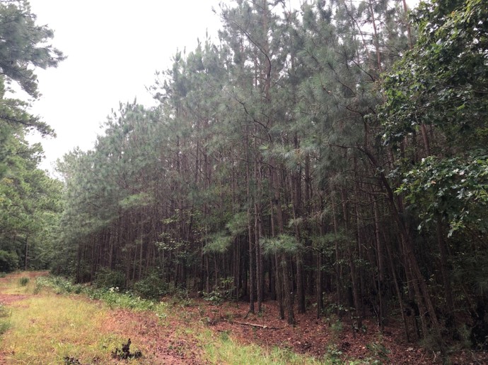 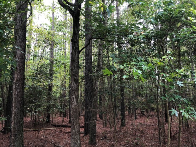 | ||||||||||
| Eastern Shore Forest Conservation Initiative II (FY24) (withdrawn) | Forestland Preservation | FY24 | 476 | Accomack County | Virginia Department of Wildlife Resources | State | Virginia Department of Wildlife Resources | 37.699233 | -75.791548 | VLCF funding was awarded for the acquisition, conservation, and improvement of 476 acres of forestland in Accomack County to complement a recently completed VLCF-funded initiative to purchase 8,800 acres on the Eastern Shore. These properties tie together three disjunct properties that the DWR currently owns, consolidating ownership and removing complicated boundary and access issues. This fee-simple acquisition presents opportunities to facilitate natural marsh migration, support coastal resiliency, provide new public lands for wildlife-related recreation, and, importantly, improve habitat for migratory birds and species of greatest conservation need in an area of hemispheric importance. This project was withdrawn. |
  | ||||||||||
| Eastern Shore Forest Conservation Initiative III (FY24) (withdrawn) | Forestland Preservation | FY24 | 762 | Accomack County | Virginia Department of Wildlife Resources | State | Virginia Department of Wildlife Resources | 37.905466 | -75.601292 | VLCF funding was awarded to assist the Department of Wildlife Resources (DWR) in acquiring, conserving, and improving 762 acres of forestland in Accomack County. This project would compliment a recently-completed VLCF-funded initiative to purchase 8,800 acres on the Eastern Shore. This fee-simple acquisition presents opportunities to facilitate natural marsh migration, support coastal resiliency, provide new public lands for wildlife-related recreation, and, importantly, improve habitat for migratory birds and species of greatest conservation need in an area of hemispheric importance. The DWR's purchase of this property would allow for strategic and targeted forest habitat improvements to facilitate marsh migration into this site. This project was withdrawn. |
 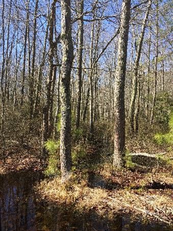 | ||||||||||
| Edwards (FY22) | Historic Area Preservation | FY22 | 107.35 | Rockingham County | Shenandoah Valley Battlefields Foundation | Private | Shenandoah Valley Battlefields Foundation | 38.297103 | -78.761563 | Shenandoah Valley Battlefields Foundation sought funding in three VLCF grant rounds (FY2021 Round II - $29,550; FY2022 - $158,679; FY2023 - 172,058) to protect the 107-acre Edwards property located in Rockingham County. This property is part of the “The Coaling,” made famous by the role this commanding landscape feature played during the Battle of Port Republic during the Civil War. It was control of this high ground that determined not only the victor in the Battle of Port Republic, but also the fate of the 1862 Valley campaign. Adding to nine acres already owned by the grant recipient, these grants made possible the acquisition of most of the remaining property, all of which is now protected in perpetuity by an Open-Space easement held by the Board of Historic Resources. Plans are in place to open the property as parkland with trails and historic interpretive markers. |
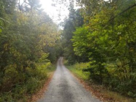  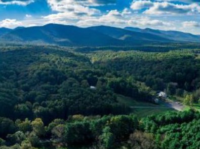 | ||||||||||
| Edwards Tract at Port Republic Battlefield (FY21 Round 2) | Historic Area Preservation | FY21 Round 2 | 107.35 | Rockingham County | Shenandoah Valley Battlefields Foundation | Private | Shenandoah Valley Battlefields Foundation | 38.297107 | -78.761566 | Shenandoah Valley Battlefields Foundation sought funding in three VLCF grant rounds (FY2021 Round II - $29,550; FY2022 - $158,679; FY2023 - 172,058) to protect the 107-acre Edwards property located in Rockingham County. This property is part of the “The Coaling,” made famous by the role this commanding landscape feature played during the Battle of Port Republic during the Civil War. It was control of this high ground that determined not only the victor in the Battle of Port Republic, but also the fate of the 1862 Valley campaign. Adding to nine acres already owned by the grant recipient, these grants made possible the acquisition of most of the remaining property, all of which is now protected in perpetuity by an Open-Space easement held by the Board of Historic Resources. Plans are in place to open the property as parkland with trails and historic interpretive markers. |
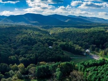  | ||||||||||
| Edwards Tract at Port Republic Battlefield (FY23) | Historic Area Preservation | FY23 | 107.35 | Rockingham County | Virginia Board of Historic Resources | Private | Shenandoah Valley Battlefields Foundation | 38.297103 | -78.761563 | Shenandoah Valley Battlefields Foundation sought funding in three VLCF grant rounds (FY2021 Round II - $29,550; FY2022 - $158,679; FY2023 - 172,058) to protect the 107-acre Edwards property located in Rockingham County. This property is part of the “The Coaling,” made famous by the role this commanding landscape feature played during the Battle of Port Republic during the Civil War. It was control of this high ground that determined not only the victor in the Battle of Port Republic, but also the fate of the 1862 Valley campaign. Adding to nine acres already owned by the grant recipient, these grants made possible the acquisition of most of the remaining property, all of which is now protected in perpetuity by an Open-Space easement held by the Board of Historic Resources. Plans are in place to open the property as parkland with trails and historic interpretive markers. |
| Eleanor Park Conservation Easement | Open Spaces and Parks | FY22 | 1.8 | Westmoreland County | The Town of Colonial Beach | Local | The Town of Colonial Beach | 38.234951 | -76.958294 | The Eleanor Park Conservation Easement project protects in perpetuity 1.8 acres of waterfront property from sale and development. The land is owned by the Town of Colonial Beach and is adjacent to the Potomac River. This parcel was the last undeveloped and publicly-owned waterfront greenspace in town, making it a unique space for townspeople and wildlife alike. Eleanor Park is home to large, native, mature hardwood trees, which provide a sanctuary for osprey, eagles and other wildlife. The space has been used as a park on and off for more than 130 years, and is currently a passive recreation space. The town sought to protect the park and its scenic, cultural/historic, flood resilient and water quality conservation values. |
 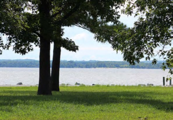 | ||||||||||
| Elgin Dairy Farm | Farmland Preservation | FY01 | 314 | Fauquier County | Virginia Outdoors Foundation/Piedmont Environmental Council | Private | Virginia Outdoors Foundation | 38.93745942 | -77.683402 | A $317,000 grant was awarded for an easement on a 314-acre dairy adjacent to State Natural Area in Bull Run Mountains with five primary public purposes: 1) protection of prime agricultural soils; 2) protection of scenic views along designated county scenic roads; 3) protection of farmland in a rapidly developing area; 4) enhancement of water quality through installation of protected riparian buffer along Hungry Run; and, 5) protection of adjacent state natural area with significant rare plant and animal resources. |
| Ellett Escarpment - Eastern Divide North | Natural Area Preservation | FY25 | 36.00 | Montgomery County | Virginia Department of Conservation and Recreation | State | Virginia Department of Conservation and Recreation, Division of Natural Heritage | 37.232666 | -80.387048 | The Department of Conservation and Recreation's Division of Natural Heritage (DCR-DNH) was awarded a grant to protect approximately 36 acres in Montgomery County. The underlying karst landscape supports a portion of Virginia's best population of one of the Commonwealth's most imperiled species, lying within one of Virginia's essential conservation sites. Global persistence of this imperiled species rests entirely on conservation work in Virginia, as the worldwide range is located immediately east of Blacksburg where development pressures are severe; protection of this species must occur now, before it is too late. The subject acreage would also help protect another significantly rare species similarly confined to Virginia as well as mature calcareous forests, and approximately 2,000' of tributaries to the North Fork Roanoke River. The tract falls within two categories of Conserve Virginia: Natural Habitat & Ecosystem Diversity and Floodplains & Flooding Resilience. These values will be protected, in perpetuity, through the establishment of a new Natural Area Preserve if this project is successful. |
  | ||||||||||
| Ellett Escarpment - Eastern Divide South | Natural Area Preservation | FY25 | 84.00 | Montgomery County | Virginia Department of Conservation and Recreation | State | Virginia Department of Conservation and Recreation, Division of Natural Heritage | 37.227664 | -80.388634 | The Department of Conservation and Recreation's Division of Natural Heritage (DCR-DNH) was awarded funding to protect approximately 84 acres in Montgomery County. The underlying karst landscape supports a portion of Virginia's best population of one of the Commonwealth's most imperiled species, lying within one of Virginia's essential conservation sites. Global persistence of this imperiled species rests entirely on conservation work in Virginia, as the worldwide range is located immediately east of Blacksburg where development pressures are severe; protection of this species must occur now, before it is too late. The subject acreage would also benefit another significantly rare species similarly confined to Virginia, as well as mature calcareous forests, and approximately 1,100' of tributaries to the North Fork Roanoke River. The tract falls within two categories of Conserve Virginia: Natural Habitat & Ecosystem Diversity and Floodplains & Flooding Resilience. These values will be protected, in perpetuity, through the establishment of a new Natural Area Preserve if this project is successful. |
   | ||||||||||
| Ellett Escarpment Natural Area Preserve | Natural Area Preservation | FY23 | 33.46 | Montgomery County | Virginia Department of Conservation & Recreation - Division of Natural Heritage | State | Virginia Department of Conservation & Recreation - Division of Natural Heritage | 37.220544 | -80.375328 | DCR’s Natural Heritage Division seeks $293,500 from VLCF to establish the Ellett Escarpment Natural Area Preserve in Montgomery County. This new preserve will protect the most at-risk cave adapted species in Virginia. The Ellett Valley Millipede is found in only three sites worldwide, all located near Blacksburg. Fee-simple purchase of two adjacent parcels will enable DCR to protect the entrance to the globally significant cave, home to both the Millipede as well as another significantly rare Virginia endemic, the Ellett Valley Cave Beetle. The 33 acres include mature, mostly deciduous, calcareous forests immediately surrounding the cave entrance and a narrow ecological buffer. |
  | ||||||||||
| Ellett Escarpment Natural Area Preserve - Supplemental Funding | Natural Area Preservation | FY25 | 34.38 | Montgomery County | Virginia Department of Conservation and Recreation | State | Virginia Department of Conservation and Recreation, Division of Natural Heritage | 37.220441 | -80.375077 | The Department of Conservation and Recreation's Natural Heritage Division (DCR-DNH) was awarded supplemental funding from VLCF to protect approximately 34 acres in Montgomery County. DCR-DNH was previously awarded a VLCF grant in FY23 that successfully initiated this project, but land values were appraised higher than expected. The project lies along the rapidly developing edge of Blacksburg, where existing karst features support Virginia's best population of a "critical conservation need" species known from only three locations worldwide. When completed, this project will result in the establishment of a new natural area preserve, located in one of Virginia's Essential Conservation Sites and overlapping two categories of Conserve Virginia: Natural Habitat & Ecosystem Diversity and Floodplains & Flooding Resilience. Fee-simple purchase of the subject properties will also help protect a significantly rare natural heritage resource, along with mature calcareous forests surrounding the karst feature and a narrow ecological buffer. All these conservation values will be protected, in perpetuity, through the establishment of a new Natural Area Preserve if this project is successful. |
  | ||||||||||
| Embrey Farm | Historic Area Preservation | FY00 | 11.6 | Stafford County | Private | Kenmore Association | 38.28643117 | -77.43552 | A $225,000 grant was awarded to the Kenmore Association Inc. to acquire an 11.6-acre farm adjacent to George Washington's Ferry Farm in Stafford County. The project helps to protect Ferry Farm from undesirable development, expands tourism opportunities, and provides riverfront protection along the Rappahannock. | |
| Fairfax Cross County Trail | Open Spaces and Parks | FY01 | 0.55 | Fairfax County | Fairfax County Park Authority | Local | Fairfax County Park Authority | 38.90608156 | -77.320068 | A $30,000 grant was awarded to Fairfax County Park Authority for the acquisition of 0.55 acres with 500 feet of frontage along Difficult Run stream, completing the northernmost section of the Cross-County Trail and connecting the trail to Great Falls National Park. |
| Fairview Park | Open Spaces and Parks | FY05 | 23 | Shenandoah County | Town of Woodstock | Local | Town of Woodstock | 38.8956761 | -78.507155 | A $250,000 grant was awarded to the Town of Woodstock to purchase 23 acres for the development of recreational facilities. The acquisition is adjacent to 50 acres of existing parkland. |
| Farmland at the Crossroads of Old Fredericksburg Road (withdrawn) | Farmland Preservation | FY20 | 348.21 | Culpeper County | Piedmont Environmental Council/Culpeper Soil and Water Conservation District | Private | Piedmont Environmental Council | 38.439057 | -77.81951 | This project would have permanently protected the conservation values of 348-acre Madden Farm, located in the Chancellorsville Battlefield Study Area, with an NRCS Agricultural Land Easement co-held by the Piedmont Environmental Council and Culpeper Soil and Water Conservation District. This project was withdrawn. |
   | ||||||||||
| Farmland Protection along Brook Run | Farmland Preservation | FY23 | 698 | Culpeper County | Piedmont Environmental Council | Private | Piedmont Environmental Council | 38.394049 | -77.864105 | Piedmont Environmental Council and the Culpeper Soil and Water Conservation District are conserving a 698-acre farm along the Rapidan River in Culpeper County. The farm is a cattle operation that runs 45 cow/calf pairs on average with 170 acres in pasture. Approximately 420 acres of cropland produces corn, soybeans, wheat and rye, and about 120 acres are forested. Productive soils cover 76% of the farm. This project encompasses over 189 acres of water quality-related conservation priorities according to ConserveVirginia. Buffering approximately 3.5 miles of the Rapidan River, Brook Run and other tributaries will enhances water quality in the watershed, which provides drinking water to local communities, including Fredericksburg. |
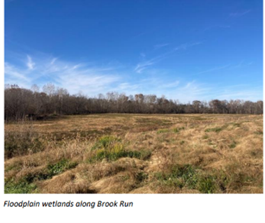  | ||||||||||
| Farmland Protection along Rapidan River Tributaries | Farmland Preservation | FY24 | 229 | Greene County | Piedmont Environmental Council | Private | Piedmont Environmental Council | 38.261467 | -78.327853 | This project advances farmland protection in the Rappahannock Basin, where the Piedmont Environmental Council and Culpeper Soil & Water Conservation District have been awarded VLCF funds, which they have used to leverage significant federal and private funding to protect high quality farmland and improve water quality. This pioneering project also involves American Farmland Trust who provided bridge financing to a young farmer, so he could buy his aunt's share of the subject property and use easement proceeds for loan repayment. The young farmer currently runs a cow-calf operation on the farm within a matrix of pasture, hayfields and forest. This project will: conserve 229 acres of farmland and forestland, including 161 acres of prime and statewide significant soils and 135 acres of forest; protect and improve water quality by maintaining 35 to 50-foot forested riparian buffers along 1.2 miles of Rapidan River tributaries; and prevent subdivision by facilitating the transfer of the farm to the next generation. |
 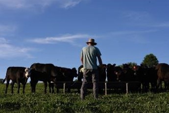  | ||||||||||
| Farmland Protection along the Blue Ridge Turnpike | Farmland Preservation | FY21 Round 1 | 450.58 | Madison County | Piedmont Environmental Council | Private | Piedmont Environmental Council | 38.247116 | -78.219406 | The 451-acre M&W Farm in Madison and Orange Counties has a prominent view shed identified in the Journey Through Hallowed Ground Corridor Management Plan. Current farming operations include producing beef cattle and mowing hay. M&W Farm encompasses high-quality farmland with 43% of the property (193 acres) having prime and statewide significant soils. About 74 acres of the property are located in the Madison-Barbour Rural Historic District south of Montpelier. The project protects over 2.3 miles of perennial and intermittent watercourses in the Rapidan River watershed. Approximately 1.1 miles of buffers are located within the Natural Heritage designated Rapidan River-Blue, Cedar, Barbour Runs Stream Conservation Unit, where the federally threatened Yellow Lance mussel is known to occur. The project utilized VLCF funds with matching federal Agricultural Land Easement funds. PEC co-holds the conservation easement with the local Soil and Water Conservation District. |
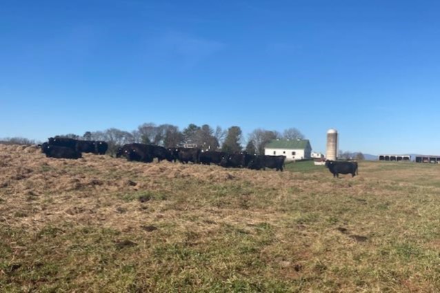 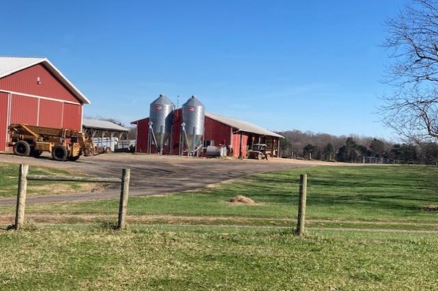  | ||||||||||
| Farmland Protection along the Rapidan River | Farmland Preservation | FY17 | 382 | Orange County | Piedmont Environmental Council/Culpeper Soil and Water Conservation District | Private | Piedmont Environmental Council | 38.34331912 | -77.990801 | Piedmont Environmental Council (PEC) received a grant award of $250,000 to partially fund purchase of a conservation easement on Glenmary Farm, a 382-acre grain, turkey, and beef farm that includes 166 acres of prime or statewide important soils and 80 acres of forest located in Orange County. The project is a Natural Resources Conservation Service Agricultural Land Easement co-held by PEC and the Culpeper Soil and Water Conservation District. Protection of this property enhances water quality with approximately 2.4 miles of permanent vegetated riparian buffers along the Rapidan and several tributaries, conserves the scenic rural context of the Mount Pleasant/Lessland, an historic site listed on the National Register of Historic Places, and Clark Mountain, a strategic signal post and command headquarters used during the Civil War; and provides visual access to the property from 1.4 miles of frontage along Rapidan River and State Route 636. The property is contiguous with a block of over 3,200 acres of previously conserved land along the Rapidan River as it sweeps around the base of Clark Mountain. |
 | ||||||||||
| Farmland Protection along the Robinson River | Farmland Preservation | FY21 Round 1 | 592.18 | Madison County | Piedmont Environmental Council | Private | Piedmont Environmental Council | 38.373346 | -78.149143 | The 592-acre Goodall Family Farm is a Century Farm with over two miles of frontage along the Robinson River. The large working farm encompasses high-quality farmland with 56% (332 acres) of prime and statewide significant soils. The farm borders 4.5 miles of perennial and intermittent watercourses. The Goodall family began acquiring the farm in 1906, with early farm operations including cultivating small grains and corn and raising dairy cows, pigs and chickens. Today, farming operations include producing beef cattle and mowing hay. In 2019 Soil and Water Conservation District (SWCD) awarded the Goodalls its forestry award for their outstanding forest management and reforestation efforts. PEC utilized VLCF funds to leverage matching federal Agricultural Land Easement funds. PEC and the local SWCD co-hold the conservation easement on the property. |
  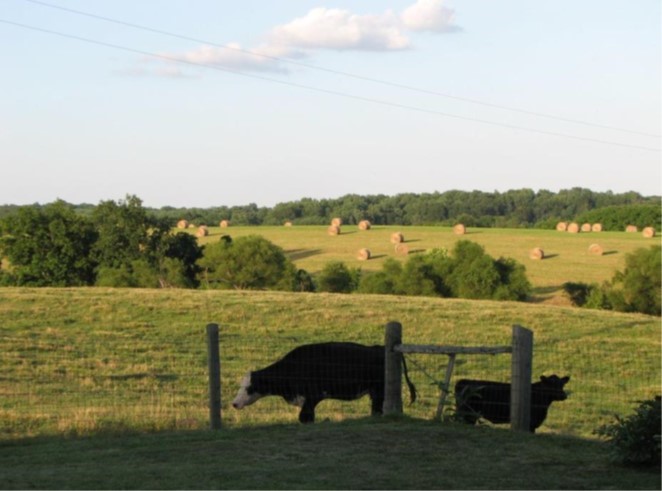 | ||||||||||
| Farmland Protection near Barboursville | Farmland Preservation | FY24 | 544.64 | Orange County | Piedmont Environmental Council | Private | Piedmont Environmental Council | 38.231334 | -78.303171 | Farmland Protection near Barboursville (Orange County) advances farmland protection in the Rappahannock Basin, where Piedmont Environmental Council and Culpeper Soil & Water Conservation District and Virginia Land Conservation Foundation have secured significant federal and private funding to protect high quality farmland and improve water quality. The specific objectives of this project are to conserve 544 acres of quality farmland and forestland, including 274 acres of prime and statewide significant soils and 245 acres of forest; to protect and improve water quality with approximately 3.3 miles of permanent forested riparian buffers along tributaries to the Rapidan River and Blue-Cedar-Barbour Runs Stream Conservation Unit; and to facilitate the transfer of a debt-free farm to the next generation. |
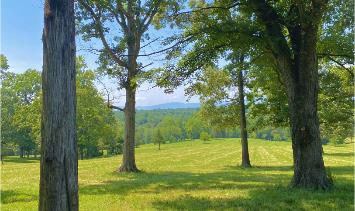 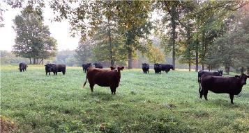 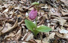 | ||||||||||
| Farmland Protection West of Gordonsville | Farmland Preservation | FY23 | 360.44 | Orange County | Piedmont Environmental Council | Private | Piedmont Environmental Council | 38.188792 | -78.194028 | PEC together with Culpeper Soil and Water Conservation District will conserve a 360-acre farm in Orange County with an NRCS Agricultural Land Easement, leveraging private, state and federal funding. Located southeast of Montpelier and along Hen + Bacon Run, the property fronts the Blue Ridge Turnpike (Route 231), part of the Journey Through Hallowed Ground National Scenic Byway. The farm has a cattle operation that currently runs 200 head on average with approximately 240 acres in pasture and 60 acres in forest. Productive soils cover 22% of the farm. Buffering the almost 3.2 miles of the Hen + Bacon Run, tributaries, ponds and wetlands will help enhance water quality to the Rapidan River-Blue, Cedar, Barbour Stream Conservation Unit and in the Rappahannock River watershed. |
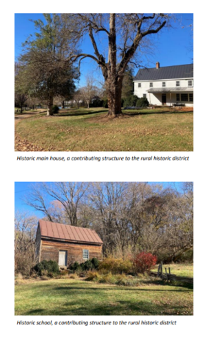 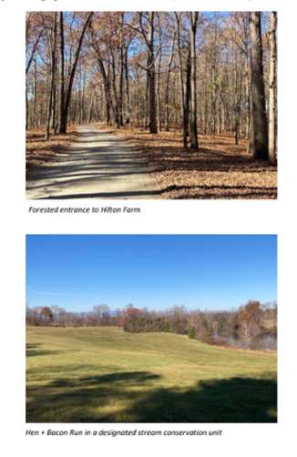 | ||||||||||
| Feedstone Hunting Club | Forestland Preservation | FY09 | 1101 | Rockingham County | Virginia Department of Forestry | Private | Virginia Department of Forestry | 38.60995042 | -79.061485 | A VLCF grant of $275,615 was awarded to Virginia Department of Forestry to purchase a conservation easement on 1,101acres of forestland owned by the Feedstone Hunt Club in western Rockingham County. This property represents a significant inholding within the George Washington National Forest and its protection now provides for an unbroken expanse of managed forestland. This easement protects the supply and quality of drinking water for the City of Harrisonburg and for the county. |
| First Day of Chancellorsville (Lick Run Battlefield) | Historic Area Preservation | FY06 | 134 | Spotsylvania County | Virginia Department of Historic Resources | Civil War Trust | 38.29647146 | -77.592822 | A $500,000 grant was awarded to the Civil War Trust to assist in the purchase of 134 acres, known as 'Lick Run,' of core battlefield at Chancellorsville in Spotsylvania County. The Civil War Trust plans to open the property for public visitation, and to install a series of interpretive trails and signage. | |
| Fishers Hill | Historic Area Preservation | FY05 | 25 | Shenandoah County | Virginia Department of Historic Resources/Shenandoah Valley Battlefields Foundation | Private | Shenandoah Valley Battlefields Foundation | 38.97917928 | -78.446046 | A $212,408.50 grant was awarded to Shenandoah Valley Battlefields Foundation to facilitate the acquisition in fee of 25 acres located within the Fishers Hill Battlefield in Shenandoah County. The land includes intact earthworks, a segment of the Valley Road (predecessor to the Valley Turnpike), and vestiges of a 19th century bridge. The property is now open to the public through the development of trails, archaeological studies, and interpretive programs. https://www.shenandoahatwar.org/fishers-hill-battlefield |
| Fletcher Ford | Natural Area Preservation | FY06 | 81 | Lee County | Virginia Department of Conservation and Recreation | Private | The Nature Conservancy | 36.60792227 | -83.283284 | A grant award for $68,450 was made to The Nature Conservancy for the acquisition of two tracts of land, one 21 acres and one 60 acres, adjacent to The Nature Conservancy's Fletcher Ford preserve on the Powell River, Lee County. This site supports a globally rare limestone woodland community and a suite of state and globally rare plant species. https://www.dcr.virginia.gov/natural-heritage/natural-area-preserves/fletcherford |
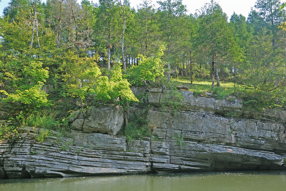 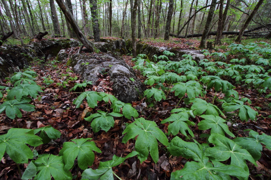 | ||||||||||
| Flintshire Farm | Farmland Preservation | FY17 | 370.43 | Caroline County | Virginia Outdoors Foundation | Private | The Conservation Fund | 38.24542808 | -77.337116 | The Conservation Fund received a grant award of $400,000 for the partial purchase of a conservation easement on Flintshire Farm that comprises 370.43 acres of active farmland, scenic riverfront, and wetlands in Caroline County. The property has been under the same family ownership since 1666 and has been identified locally by Fort A.P. Hill Army Compatible Use Buffer (ACUB) program as a priority for conservation due to its close proximity to the army facility. The easement protects nearly 160 acres of prime farmland with an active agricultural operation that grows corn and soybeans, more than two miles of frontage on the Rappahannock River and its tributaries, 70 acres of forested wetlands and scenic views from designated scenic byways and the Captain John Smith National Historic Trail. Water quality will be protected with approximately 3,800 linear feet of permanent vegetative buffer along the Rappahannock River. |
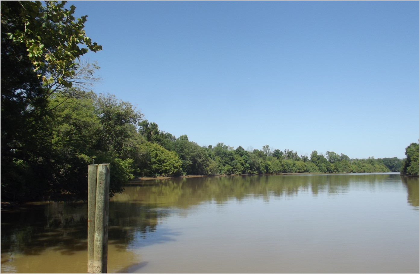 | ||||||||||
| Flowers Easement | Forestland Preservation | FY17 | 845.11 | Southampton County | Virginia Department of Forestry | Private | Virginia Department of Forestry | 36.76188762 | -77.131578 | Virginia Department of Forestry received a grant award of $250,000 to fund partial purchase of a conservation easement to protect 845 acres of forest and farmland in Southampton County. The property contains over a mile and a half of frontage along the Nottoway River, a State-designated Scenic River. The project contains 690 acres of forestland under active management and 155 acres of land currently in agricultural use. The easement now protects over three miles of watercourses with permanent forested buffers, with 286 acres of predominantly tupelo/cypress wetlands along the river. The property significantly contributes to the corridor of connected, interagency-conserved lands along the river, as it lies within the larger DCR Natural Heritage-designated Nottoway River - Three Creek Stream Conservation Unit, and is immediately downstream of the DGIF Cary's Bridge public boat ramp. |
| Forkland Dairy (FY21 Round 2) | Farmland Preservation | FY21 Round 2 | 904 | Cumberland County | Virginia Outdoors Foundation | Private | Virginia Outdoors Foundation | 37.401417 | -78.23663 | Virginia Outdoors Foundation was awarded two VLCF grants (FY2021 Round II - $500,000; FY22 - $500,000) to protect one of the last two dairies in Cumberland County with an open-space easement on the 904-acre Forkland Dairy farm, a multi-generational Century farm, in the family since 1848. The farm lies on the Appomattox River with an area along the river of Natural Habitat and Ecosystem Diversity in ConserveVirginia, and has been awarded the Clean Water Farm award and the Forage and Grassland Council’s award. The dairy is an active 300-head operation with a consultant’s plan recently developed for future expansion and three generations actively involved. Best management practices have been installed including CREP, cover crops, tree planting in buffer areas, and the Precision Phosphorus Feeding Program through VA Tech. The family also placed a 400-acre property near this farm under VOF easement in 2020. |
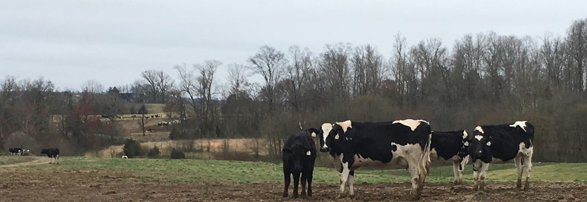 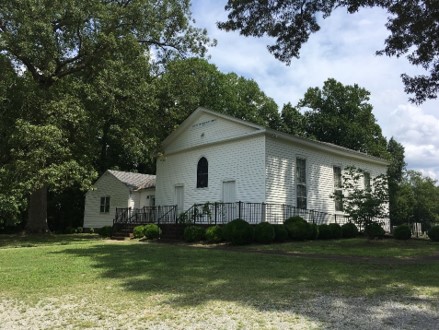 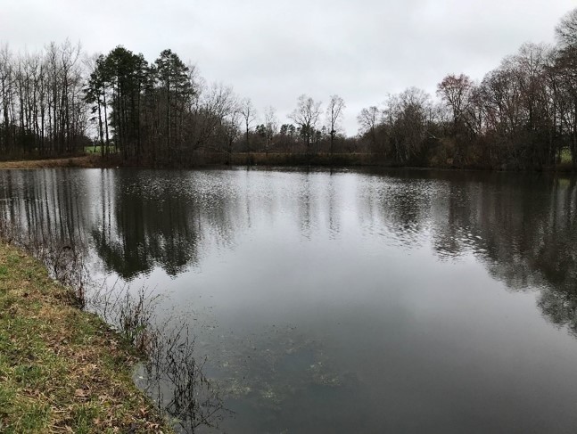 | ||||||||||
| Forkland Dairy (FY22) | Farmland Preservation | FY22 | 904 | Cumberland County | Virginia Outdoors Foundation | Private | Virginia Outdoors Foundation | 37.401417 | -78.236631 | Virginia Outdoors Foundation was awarded two VLCF grants (FY2021 Round II - $500,000; FY22 - $500,000) to protect one of the last two dairies in Cumberland County with an open-space easement on the 904-acre Forkland Dairy farm, a multi-generational Century farm, in the family since 1848. The farm lies on the Appomattox River with an area along the river of Natural Habitat and Ecosystem Diversity in ConserveVirginia, and has been awarded the Clean Water Farm award and the Forage and Grassland Council’s award. The dairy is an active 300-head operation with a consultant’s plan recently developed for future expansion and three generations actively involved. Best management practices have been installed including CREP, cover crops, tree planting in buffer areas, and the Precision Phosphorus Feeding Program through VA Tech. The family also placed a 400-acre property near this farm under VOF easement in 2020. |
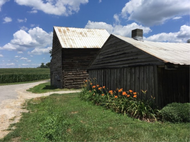 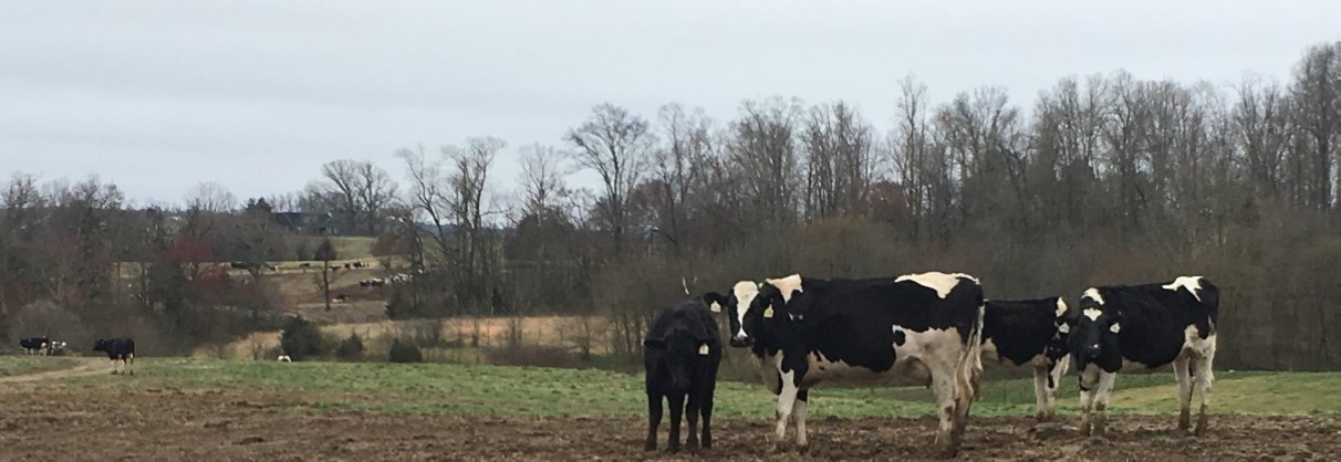 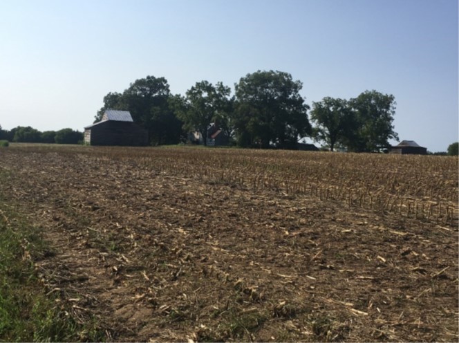 | ||||||||||
| Fort Christanna (withdrawn) | Historic Area Preservation | FY00 | 64 | Brunswick County | Brunswick County | Local | Brunswick County | 36.71454682 | -77.871915 | A $50,975 grant was awarded to Brunswick County to acquire a 64-acre tract recognized by the National Register of Historic Places and the Virginia Landmarks Register. The project would have protected the historic and archeological integrity of the site and to prevent a clear-cut operation that would impact the fort sites. This project was withdrawn. |
| Four Mile Tree | Historic Area Preservation | FY06 | 306 | Surry County | Virginia Outdoors Foundation/Virginia Department of Historic Resources | Private | Virginia Outdoors Foundation | 37.20155824 | -76.877529 | A $500,000 grant award to the Virginia Outdoors Foundation was made to purchase an easement on a 306-acre parcel known as Four Mile Tree. The easement now protects 3,800 feet of James River frontage, open and forested land, a bald eagle nest and habitat, a 18th Century Manor House, an early smokehouse, a walled family cemetery, and archaeological resources. https://www.dhr.virginia.gov/historic-registers/090-0009/ |
| Frank Ott Farm PDR | Farmland Preservation | FY09 | 279 | Fauquier County | Fauquier County | Private | Fauquier County Purchase of Development Rights Program | 38.52219571 | -77.756309 | A grant award of $198,400 funded the purchase of a conservation easement on approximately 279 acres of farmland by the Fauquier County Purchase of Development Rights (PDR) Program, to create a contiguous block of nearly 900 acres of preserved farmland. This 4th generation working farm grows hay, soybeans, and corn. The Ott family has a soil conservation plan approved by the local Soil and Water Conservation District, and implements best management practices including cover crops, minimum tillage, and a nutrient management plan. The family also plans to fence out streams and provide alternative watering facilities. |
| Fray Tract | Open Spaces and Parks | FY05 | 631.5 | Madison County | Wildlife Foundation of Virginia/DGIF | Private | Wildlife Foundation of Virginia | 38.43320994 | -78.40102 | A grant was awarded to the Wildlife Foundation of Virginia (WFV) to conserve this 631.5-acre property in Madison County. The property is bounded on the west and north by the Rapidan Wildlife Management Area, and on the east by the Shenandoah National Park. Approx. 544 acres of the property (owned in fee by the Dept. of Game and Inland Fisheries) is part of the Rapidan WMA and provides public access. WFV holds an easement on the remaining 87 acres. |
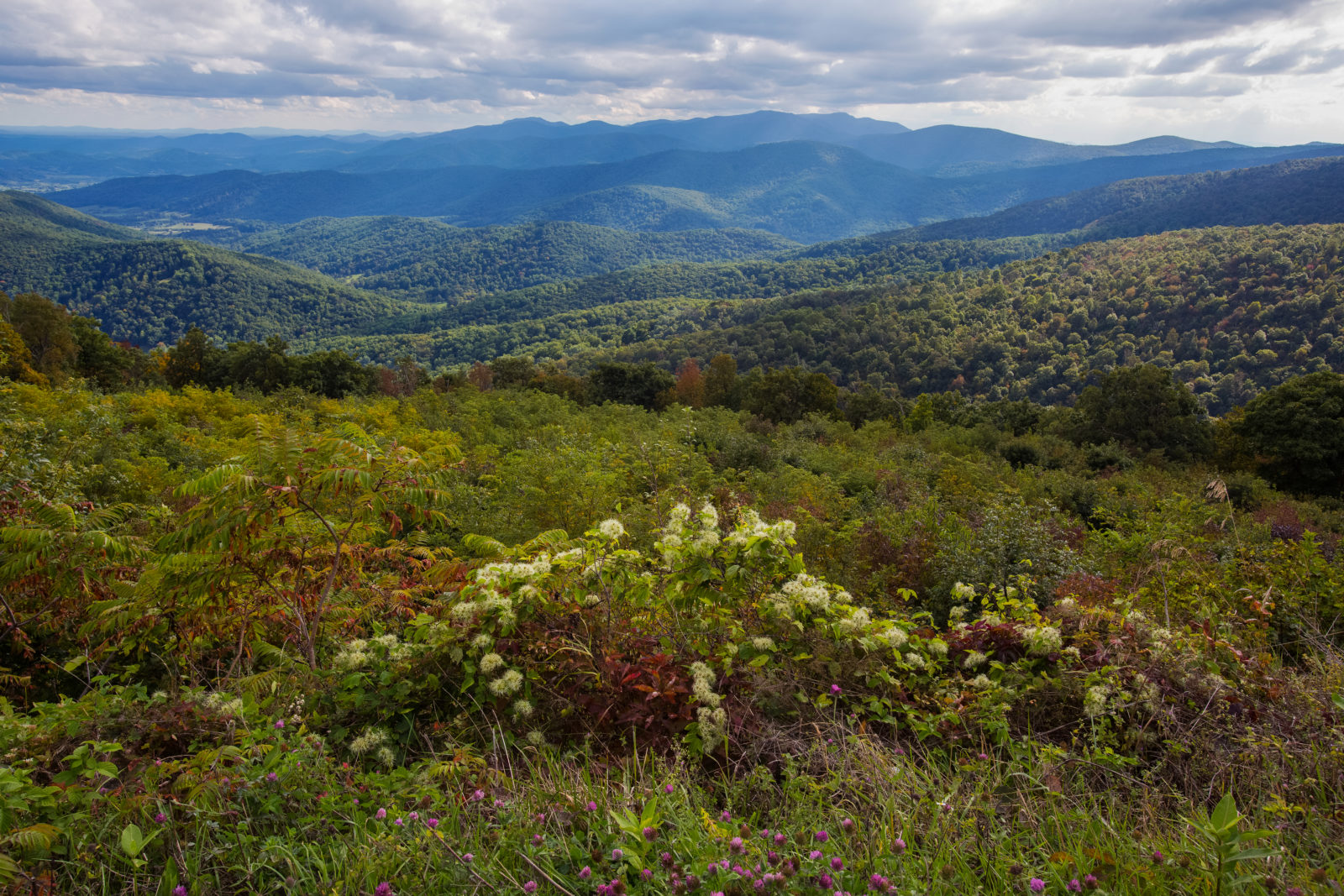 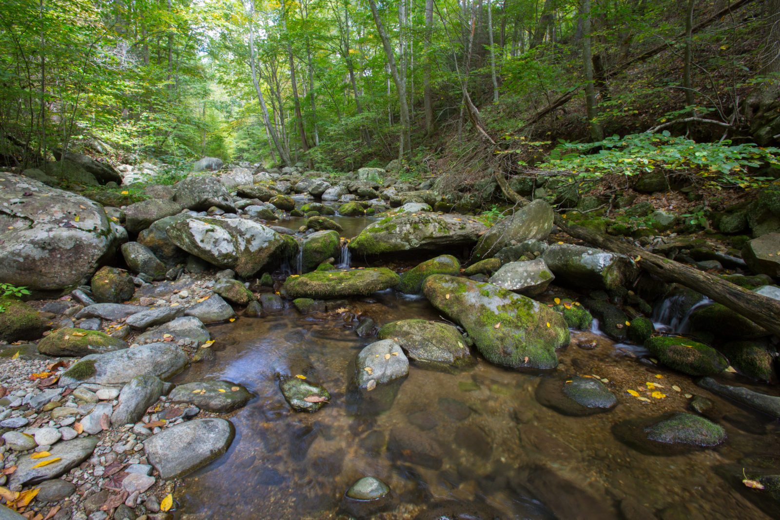 | ||||||||||
| French Tract at Fisher's Hill Battlefield (FY24) | Historic Area Preservation | FY24 | 146.08 | Shenandoah County | Shenandoah Valley Battlefields Foundation | Private | Shenandoah Valley Battlefields Foundation | 38.987614 | -78.426889 | The 146-acre French Tract, in Shenandoah County near Strasburg, is entirely within the core and study area of the Fisher's Hill Battlefield and the study area of the Cedar Creek Battlefield. During the Battle of Fisher's Hill, Union forces met their stiffest resistance on the French Tract as they attacked the left flank of the Confederate infantry line atop what is now known as Ramseur's Hill. The French Tract saw the heaviest sustained combat of the entire battle. The Foundation purchased the property in July 2022 to save it from being developed. The property is currently used for agricultural purposes and is also heavily forested. The South Fork of Tumbling Run passes through the property, stretching over 4,000 feet. |
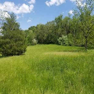 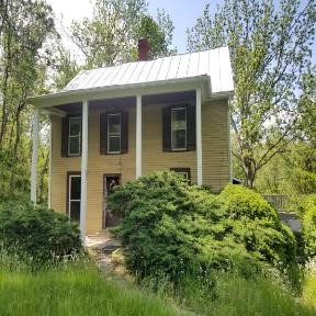 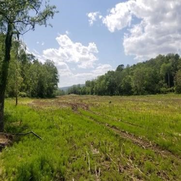 | ||||||||||
| French Tract at Fisher’s Hill Battlefield (FY23) | Historic Area Preservation | FY23 | 146.09 | Shenandoah County | Virginia Board of Historic Resources | Private | Shenandoah Valley Battlefields Foundation | 38.987614 | -78.426889 | The 146-acre French Tract, in Shenandoah County near Strasburg, is within the Fisher’s Hill Battlefield and the study area of the Cedar Creek Battlefield. The tract was part of the Confederate defensive position during the Battle of Fishers Hill. It was here that Union forces met their stiffest resistance as they attacked the left flank of the Confederate infantry line atop what is now known as “Ramseur’s Hill”. The tract saw the heaviest sustained combat of the entire battle. The property also includes the ca. 1810 Pifer House (pictured below). The French Tract is currently used for agricultural purposes and is also heavily forested. The South Fork of Tumbling Run passes through the property, stretching over 4,000 feet. The Foundation seeks funding to complete protection of the French Tract and will convey a historic preservation and open-space easement to the Virginia Board of Historic Resources. |
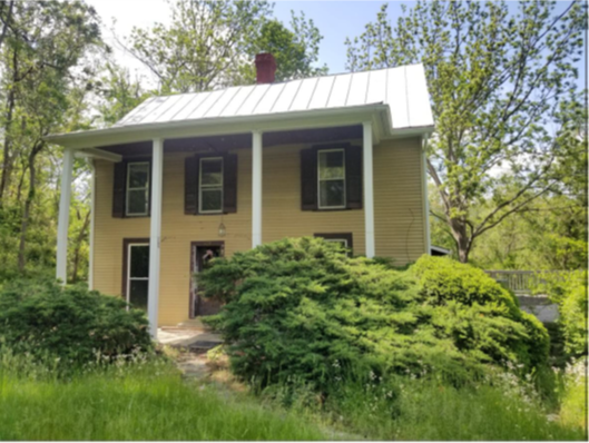 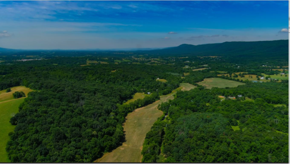 | ||||||||||
| Funk Tract at Cedar Creek | Historic Area Preservation | FY25 | 45.56 | Warren County | Shenandoah Valley Battlefields Foundation | Private | Shenandoah Valley Battlefields Foundation | 39.001313 | -78.299014 | The 45.56-acre Funk Tract is entirely within the Core Area of the Cedar Creek Battlefield and adjacent to lands already preserved by the Shenandoah Valley Battlefields Foundation (SVBF). The property is in Warren County and currently used as a farm, containing open space and 17.5-acres of forested lands along with waterways. The preservation of the site will allow for visitor access to the property via mowed trails and for and current agricultural practices to continue. Its location adjoins 189-acres of conserved land protected by an easement held by the Virginia Board of Historic Resources. |
 | ||||||||||
| Fussell’s Mill Tracts at Second Deep Bottom Battlefield | Historic Area Preservation | FY21 Round 2 | 52 | Henrico County | American Battlefield Trust | Private | American Battlefield Trust | 37.442511 | -77.282713 | The American Battlefield Trust is preserving the 52-acre Fussell’s Mill Tracts, located in Henrico County, via a fee acquisition and open-space easement held by the Virginia Board of Historic Resources. The tracts are in the Core and Study Areas as defined by the 1993 Civil War Sites Advisory Commission Report on the Nation’s Civil War Battlefields of the Second Deep Bottom, First Deep Bottom, Glendale, and Fair Oaks & Darbytown Road Battlefields. Two of those battlefields are documented United States Colored Troops (U.S.C.T.) sites, an important facet of African American history. The property includes 106 feet of Bailey Creek, 0.23 acres of pond, 575 feet along the pond’s edge, 48 acres of woods, and 0.86 acres of wetlands. The property is mostly open space, with one single-family residence, swimming pool, deck, and storage structures. |
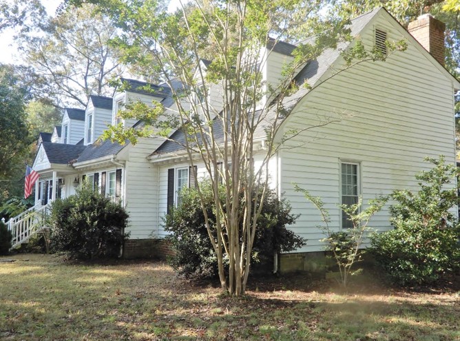 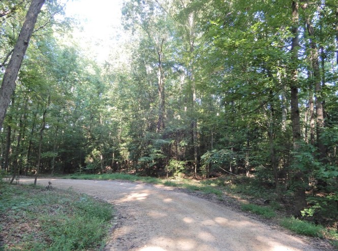 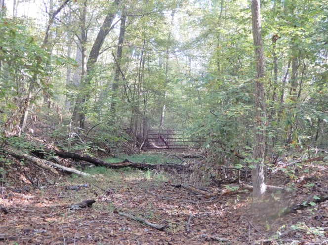 | ||||||||||
| Gaines Tract (withdrawn) | Historic Area Preservation | FY16 | 1.1 | Amelia County | Civil War Trust | 37.29706904 | -78.23101 | Grant funds of $87,500 were awarded to the Civil War Trust for the fee-simple purchase of 1.1 acres within the core area of the Sailor's Creek Battlefield in Amelia County. The Battle of Sailor's Creek, on April 6, 1865, led to the surrender of General Robert E. Lee's Army of Northern Virginia at Appomattox Courthouse just 72 hours later. Acquisition of the tract would allow the removal of modern buildings and protect this core battlefield land by allowing its incorporation into Sailor's Creek State Park. This project was withdrawn. | ||
| Game Lake Refuge at Joseph Pines Preserve | Forestland Preservation | FY18 | 195.75 | Sussex County | Virginia Department of Forestry | Private | Meadowview Biological Research Station | 37.04743483 | -77.244616 | Meadowview Biological Research Station utilized a $175,000 VLCF grant to help fund the acquisition of a 196-acre addition to the 232-acre Joseph Pines Preserve in Sussex County. The additional property, which is ninety-eight percent forested, is now under an open-space easement held by the Virginia Department of Forestry. The property is classified as having high forest conservation value, and nearly 10,000 feet of streams are now protected by permanent buffers. Planned management supports the expansion of bobwhite quail habitat and the property is fully available to the public for recreation. This purchase supports the multi-partner longleaf pine restoration efforts in Virginia through the Virginia Longleaf Pine Cooperators Group. https://pitcherplant.org/The-Joseph-Pines-Preserve/index.html |
    | ||||||||||
| Garden Creek (withdrawn) | Natural Area Preservation | FY01 | 623 | Mathews County | Middle Peninsula Land Trust | 37.41352258 | -76.252406 | A $155,000 grant was awarded to the Middle Peninsula Land Trust to acquire five land tracts through easement and fee simple acquisition (2 fee simple acquisitions totaling 185 acres and 3 easement acquisitions on 438 acres) for the protection of the Garden Creek/Winter Harbor watershed and to serve as a buffer for the Bethel Beach Natural Area. This project was withdrawn. | ||
| Gateway to Cape Charles - Public Access Project | Natural Area Preservation | FY20 | 20 | Northampton County | Virginia Department of Conservation and Recreation | Local | Northampton County | 37.257784 | -76.01741 | This grant, along with Federal Coastal Zone Management funds, was used to purchase this land and existing improvements, providing permanent public access to a wheelchair-accessible boardwalk within the town of Cape Charles in Northampton County. An existing parking area and entrance trail, including several hundred feet of boardwalk, was constructed prior to the establishment of the Cape Charles Natural Area Preserve. These amenities have become a well-used visitor entrance even though they were previously located on private land. The 20-acre property has now been added to the preserve, where visitors walk through one of the few remaining examples of globally rare maritime forest. |
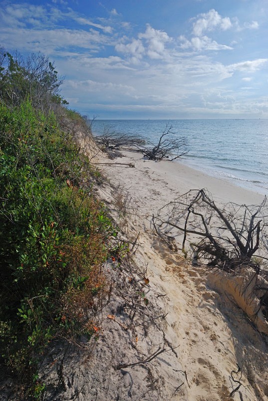 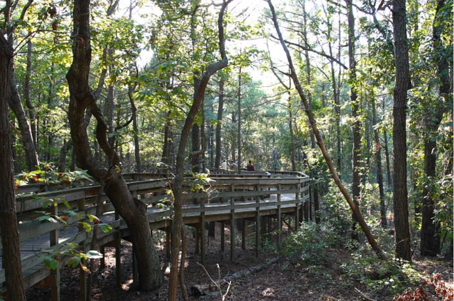 | ||||||||||
| Gen Jackson Amputation Site (withdrawn) | Historic Area Preservation | FY12 | 81.69 | Spotsylvania County | Spotsylvania County | Local | Spotsylvania County | 38.32494918 | -77.713035 | The County of Spotsylvania was awarded $70,875 to assist in the purchase of 82 acres located within the Chancellorsville Civil War Battlefield and adjacent to National Park Service property. The Civil War Sites Advisory Commission of the National Park Service has given this battlefield a preservation priority of I.2 (good integrity, high to moderate threat, more than 20 percent protected). The property includes the site of the field hospital where the left arm of Confederate General Thomas "Stonewall" Jackson was amputated on May 3, 1863 following the Battle of Chancellorsville; Jackson died a few days later. This project was withdrawn. |
| Gent Branch – Elk Conservation Area | Open Spaces and Parks | FY23 | 179.00 | Buchanan County | The Nature Conservancy | Private | The Nature Conservancy | 37.194193 | -82.135129 | The Nature Conservancy (TNC) is seeking $71,937 from the VLCF to accomplish the fee simple purchase of approximately 179 acres in the Leemaster Community of Buchanan County. This project is supported by many partners including the Virginia Department of Wildlife Resources (DWR), the Southwest Virginia Sportsmen, and the Rocky Mountain Elk Foundation (RMEF) – both at the national and local chapter levels. Securing this property, located about one mile from the 2012-2014 DWR elk release site, will provide protection for important elk habitat and provide public access for elk viewing and elk hunting. The land also provides habitat for a variety of other wildlife species, offers wildlife-related recreational opportunities, and features remarkable scenic vistas. This property is recognized by TNC and the Commonwealth of Virginia as an important area for biodiversity and climate resilience and in addition, will serve to support the local, growing ecotourism industry. |
 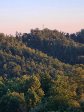 | ||||||||||
| George Property | Farmland Preservation | FY06 | 255.3 | Fauquier County | Fauquier County | Private | Fauquier County Purchase of Development Rights Program | 38.59061839 | -77.65033 | A VLCF grant award for $213,500 was provided for the preservation of the Rebecca George farm through the Fauquier County PDR Program. The farm consists of 255.3 acres and supports two farming operations and families. Preserving the property will help preserve the Elk Run stream corridor, as there is more than 2/3 of a mile of stream frontage. Elk Run drains into the Cedar Run watershed, which provides public drinking water supplies for the Town of Warrenton and large portions of Fauquier and Prince William Counties. Conserving the property provides a contiguous block of 1,175 acres of permanently protected farmland. |
| Gilbert's Corner Regional Park | Open Spaces and Parks | FY12 | 68 | Loudoun County | Northern Virginia Regional Park Authority | Local | Northern VA Regional Park Authority | 38.9706662 | -77.615948 | Northern Virginia Regional Park Authority was awarded $200,000 to expand Gilbert's Corner Regional Park by acquiring 68 acres of land, adjacent to the first 88-acre parcel the Park Authority recently acquired, to be used for regional park purposes. Park uses include hiking trails, and natural and historic resource interpretation. https://www.novaparks.com/parks/gilberts-corner-regional-park |
    | ||||||||||
| Gilvary Forest | Natural Area Preservation | FY05 | 225 | Giles County | Virginia Department of Conservation and Recreation | Private | 500-Year Forest Foundation | 37.27211384 | -80.993363 | The 500-Year Forest Foundation was awarded a $224,130 grant for the acquisition of a natural area preserve deed of dedication and open-space easement over a 225 acre property on Chestnut Ridge in western Giles County. The project protects two old-growth forest communities of northern red oak. https://www.dcr.virginia.gov/natural-heritage/natural-area-preserves/chestnutridge |
| Goodale I & Deane I Tract | Historic Area Preservation | FY26 | 14.10 | Henrico County | Virginia Board of Historic Resources | Private | Richmond Battlefields Association | -77.287118 | 37.448355 | Richmond Battlefields Association was awarded VLCF funding to sell a perpetual open-space easement to the Virginia Board of Historic Resources on its property in Henrico County. The property consists of two adjacent tracts totaling 14 acres, 3.65 acres of active farmland, and 10 acres of forestland. Property is within core Deep Bottom II battlefield according to the Civil War Sites Advisory Commission, Priority 1.B. In addition to its historical significance, the tracts contain valuable agricultural and forestal natural resources, as well as water resources. These tracts are adjacent to conserved property to the north and in close proximity to other conserved lands to the south and west. |
   | ||||||||||
| Goosepond Easement | Forestland Preservation | FY17 | 957.92 | Dinwiddie County | Virginia Department of Forestry | State | Virginia Department of Forestry | 37.01066256 | -77.546638 | Virginia Department of Forestry requested a grant to support the partial purchase of an open-space easement on 957.92 acres of primarily forested land in Dinwiddie County. The 931 acres that are currently forested are classified by VDOF as having high forest conservation value and are under active management. Seventeen acres are in agricultural use, the majority containing soils classified as Prime Farmland or Farmland of Statewide Importance. The easement now protects nearly two miles of streams with permanent forested buffers, including approximately 40 acres of wetlands present on the property. DCR Natural Heritage has confirmed the presence of the State-threatened barking tree frog (Hyla gratiosa) and its habitat on the property, which is now protected by establishing heightened habitat protection areas. The project received a grant award of $125,000 and supports the Virginia Outdoors Plan by protecting DCR-NH resources in "the most biologically diverse region along the fall line." |
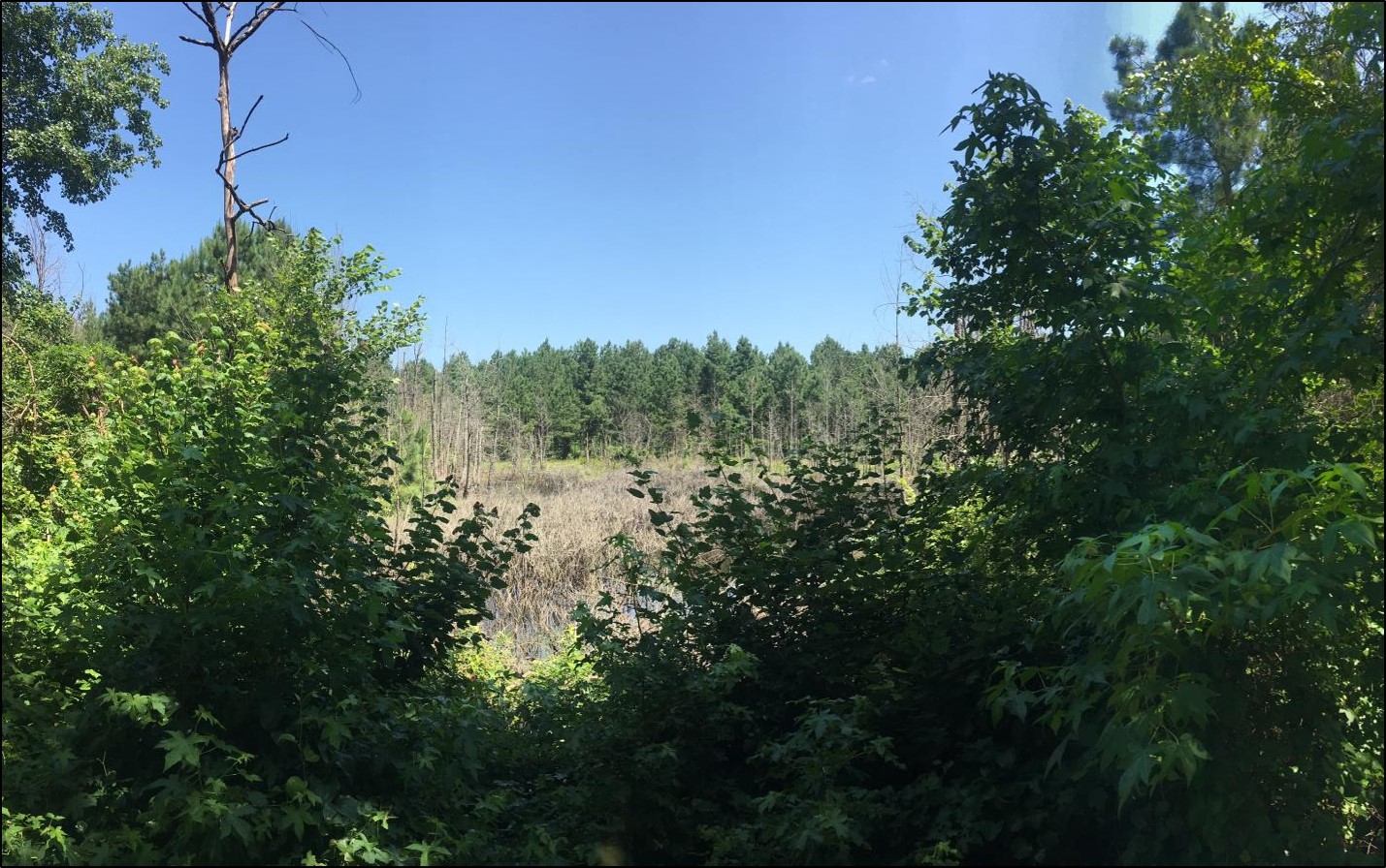 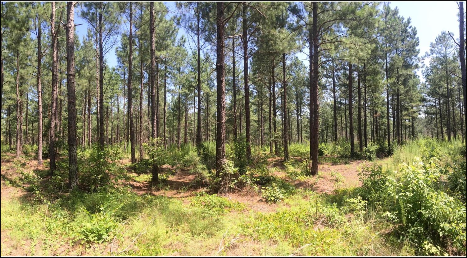 | ||||||||||
| Grassy Hill Natural Area Preserve - Anderson Addition | Natural Area Preservation | FY24 | 48.07 | Franklin County | Virginia Department of Conservation and Recreation | State | Virginia Department of Conservation and Recreation | 37.031506 | -79.883433 | DCR-DNH received VLCF funding to support fee-simple purchase of 48 acres in Franklin County as an addition to Grassy Hill Natural Area Preserve. This tract falls within four categories of ConserveVirginia, is located in one of Virginia's essential conservation sites, supports several natural heritage resources and has been identified as a resiliency parcel needed to complete the overall Preserve design. This proposed acquisition will more fully protect one of Virginia's Essential Conservation Sites and protect a globally rare natural community and a globally imperiled plant species. The property is forested with a globally rare forest type, the Central Appalachian Basic Ash-Hickory Woodland. This tract was threatened with impending development before purchase by a sympathetic conservation buyer working on behalf of DCR-DNH to protect the parcel from incompatible development. |
 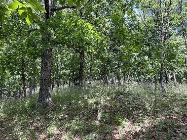 | ||||||||||
| Gum Swamp Warren Property | Open Spaces and Parks | FY26 | 26.00 | City of Virginia Beach | City of Virginia Beach | Local | City of Virginia Beach | -76.130910 | 36.751322 | The City of Virginia Beach was awarded $1,200,000 for the fee-simple acquisition of a 26-acre property along Indian River Road, a Virginia Byway. The southwestern portion of the property is within Gum Swamp, a mature, vulnerable Cypress-Tupelo swamp forest that forms the headwaters of the Virginia Scenic North Landing River. The property will offer daily public access for land-based and water-based recreation, wildlife viewing, and education and research opportunities in and along these groundwater-emergence headwaters. The site is near other public nature areas including Stumpy Lake Natural Area, the Virginia Birding and Wildlife Trail – Seashore to Cypress Loop, and the Gateway to the Green Sea, a boundary around the North Landing River watershed adopted as a regional greenway plan. The property is identified as a conservation priority and designated as North Landing Gum Swamp Natural Area and Conservation Site by DCR Natural Heritage in two Conservation Planning reports completed for the city. The site is also where the Southeastern Greenway Trail is planned, one of four citywide spines of the city's linear park and trail system. |
   | ||||||||||
| Hancock North Landing | Open Spaces and Parks | FY25 | 28.00 | City of Virginia Beach | City of Virginia Beach | Local | City of Virginia Beach | 36.587786 | -76.043266 | The City of Virginia Beach was awarded funding to acquire in fee a 28-acre parcel as an addition to Munden Point Park. Daily public access will be provided for land-based and water-based recreation, wildlife viewing, and education and research opportunities in a unique landscape along the North Landing River, a designated Virginia Scenic River. The property is within the North Landing River Oakum Creek Natural Area, as identified by DCR Natural Heritage. Additionally, the property is within an important ecological core and wildlife corridor that connects the North Landing River to the Atlantic Coast. From the site, there are over 220-degree views of the North Landing River, and viewsheds of cypress coves and cordgrass hummocks with native marsh plants that contribute to the rare “wind-tidal marsh”. The property is virtually surrounded by water, with over 1,600’ of walkable North Landing River shoreline, and frontage along North Landing River marsh, Oakum Creek, and a canal used for boat access. |
   | ||||||||||
| Harris Farm | Farmland Preservation | FY23 | 327 | Spotsylvania County | Virginia Outdoors Foundation | Local | Virginia Outdoors Foundation | 38.165420 | -77.886642 | VOF bargain-purchased and holds an open-space easement on WD Harris’ farm located in Spotsylvania County at the headwaters of Lake Anna. The 327-acre farm is active cropland and part of a larger farm operation. The property is within an Agricultural and Forestal District, has good soils, and has an exceptional ranking by American Farmland Trust’s study on farms under threat. Protection of the farm also bolsters the agricultural viability and other conservation resources of the adjoining 275-acre Belmont farm, under easement with VOF. In addition, the property is within the Chesapeake Bay watershed and protects ~3/4 mile of Beverly Run, which drains immediately into Lake Anna, which is open to the public for boating and fishing. The riparian corridors and wetland area in addition to the open space, provide wildlife corridors and additional habitat. |
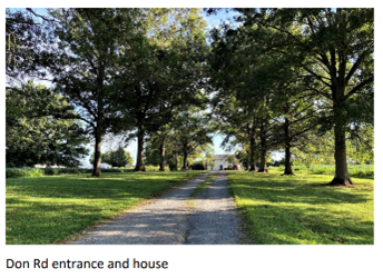  | ||||||||||
| Haskins Farm at New Market Heights | Historic Area Preservation | FY23 | 50 | Henrico County | Virginia Board of Historic Resources | Private | Capital Region Land Conservancy | 37.431354 | -77.334324 | Capital Region Land Conservancy utilized the VLCF grant to acquire 50 acres of critically threatened battlefield land in the core area of the 1864 Battle of New Market Heights in Henrico County. An historic preservation and open-space easement held by the Va. Board of Historic Resources now protects the property’s 650 linear feet of the “New Market Line” earthworks that the US Colored Troops (USCT) seized in their victory for which 14 Medal of Honors were awarded. The county’s comprehensive plan identified the property as future “concentrated commercial” use and Preservation Virginia noted that this battlefield is one of the most threatened historic sites in Virginia. CRLC worked with local and national partners to establish an area of approximately 350 acres within the New Market Heights Battlefield to be interpreted and open for public access. Many have placed an even greater emphasis on preserving the few sites pertinent to the USCT. Several descendants of USCT enlisted men were also engaged in these preservation effort. |
| Hazelwood Farm | Farmland Preservation | FY25 | 339.00 | Caroline County | The Conservation Fund | Private | The Conservation Fund | 38.181414 | -77.231964 | The Hazelwood Farm project will protect 339 acres of prime, active farmland in Caroline County. The property is the home farm of farmer Cory Garrett, who farms more than 1,100 acres in the area. The property produces corn and soybeans and has significant frontage on the Rappahannock River. As part of their commitment to the land that provides their living, the Garretts manage their farm under the advisement of conservation and nutrient management plans developed in partnership with Natural Resource Conservation Service and Soil and Water Conservation District technical advisors. Located within Fort Walker's Priority IA area for buffering the Army's training installation, the Army will provide a significant amount of funding towards the purchase of this easement through the Army Compatible Use Buffers (ACUB) program. Virginia Outdoors Foundation is a key partner with The Conservation Fund and the Army and will hold the conservation easement. |
   | ||||||||||
| Henry W. Carneal | Forestland Preservation | FY26 | 563.00 | Smyth County & Washington County | Virginia Outdoors Foundation | Private | Virginia Outdoors Foundation | -81.788216 | 36.873263 | The Virginia Outdoors Foundation was awarded $281,150 from VLCF to place an easement on the 563-acre Carneal property. The property contains high forest value, with approximately 350 acres ranked as "outstanding" by the Virginia Department of Forestry. The southern portion of the property lies within the Saltville Battlefield Historic District with a series of well-preserved and historically significant Civil War fortifications. In addition to its forestal and historic values, the property contains frontage on the North Fork Holston River and nearly two miles of perennial tributaries to the river. The western two-thirds of the property fall within an Ecological Core ranked C1 ("outstanding") and the property provides habitat for multiple natural heritage species. In addition, it shares its western boundary with the Clinch Mountain Wildlife Management Area and is in close proximity to a privately-held VOF easement to the east. |
   | ||||||||||
| Hickory Hollow Nature Trail | Natural Area Preservation | FY00 | 254 | Lancaster County | Virginia Department of Conservation and Recreation | Private | Northern Neck Audubon Society | 37.77460736 | -76.451631 | A $179,012 grant was awarded to the Northern Neck Audubon Society to acquire a 254-acre site from Lancaster County that was targeted for industrial development. The project preserves the land's Natural Area Protection and establishes a permanent conservation easement. https://www.dcr.virginia.gov/natural-heritage/natural-area-preserves/hickory |
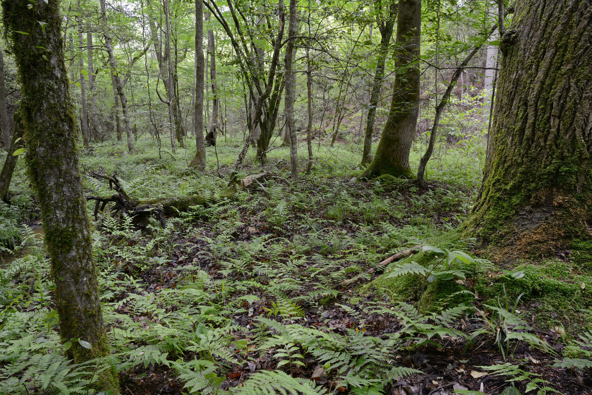 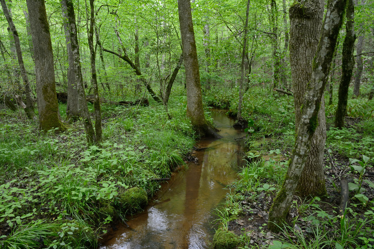 | ||||||||||
| Highlands-Lonesome Pine | Open Spaces and Parks | FY24 | 44327 | Dickenson County | Virginia Department of Wildlife Resources | Private | Virginia Department of Wildlife Resources | 37.238605 | -82.257665 | DWR received grant funds to acquire potentially the largest recorded public access easement in Virginia, on property currently owned by the Cumberland Forest Highland LLC (The Nature Conservancy), in Wise, Buchanan, and Dickenson counties. This 44,327-acre easement acquisition project in the heart of Appalachia presents an extraordinary and rare opportunity to provide new public access for recreational boating, fishing, wildlife viewing, hiking, nature-based photography, and hunting, as well as improve restored mined lands to support elk and a myriad of other wildlife species that use a matrix of forested and open grassland habitats. This property would provide an important foothold from which to secure public access on an additional 106,000 acres in this historically economically depressed and socially vulnerable region of the Commonwealth. Project partners include the US Fish and Wildlife Service, Rocky Mountain Elk Foundation, The Nature Conservancy, and Southwest Virginia Sportsmen. |
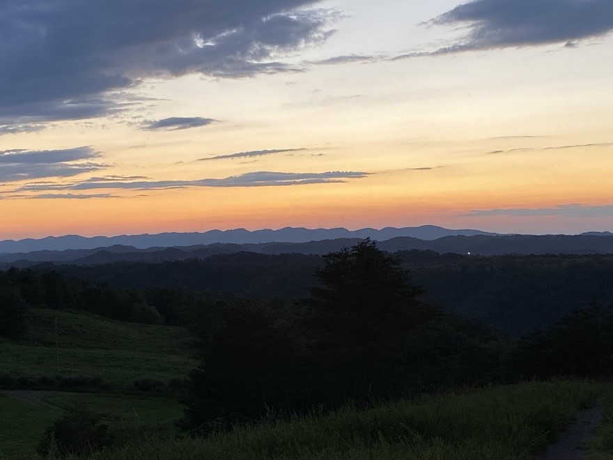  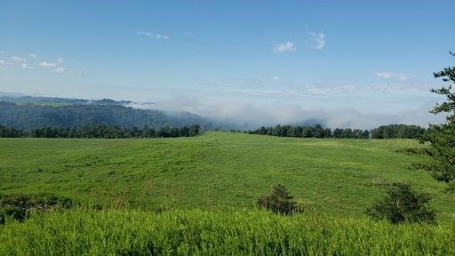 | ||||||||||
| Highwater Farm | Farmland Preservation | FY16 | 181.65 | Fauquier | Fauquier County | Private | Fauquier County | 38.50621542 | -77.715404 | The Fauquier County Agricultural Development Department was awarded VLCF funds for the purchase of development rights and placement of a conservation easement on a 182-acre beef-cattle farm that includes 60 acres of pine woodlands. Protection of the property, which is part of the 19,000-acre Southern Fauquier Agricultural and Forestal District, helps accomplish one of the major goals of the county's PDR program, which is to establish a critical mass of protected farmland and open space. The project includes vegetated riparian buffers along 4,000 feet of frontage on two streams in the Rappahannock watershed. Fauquier County received a grant award of $72,500 for this project. |
   | ||||||||||
| Historic Dunn's Meadow | Historic Area Preservation | FY07 | 8.88 | Washington County | Town of Abingdon/DHR | Local | Town of Abingdon | 36.70319799 | -81.993721 | The grant award of $200,000 to the Town of Abingdon assisted in the acquisition of nine acres of the historic Dunn's Meadow property in the Town of Abingdon. Historic Area Preservation on the property includes an archeological site identified as a Revolutionary War encampment, as well as the "Retirement", a brick residence of the same period. The property is also associated with the Overmountain Victory Trail Head and National Historic Trail. The Town of Abingdon provides public access to the property for educational, recreational, and interpretive uses. |
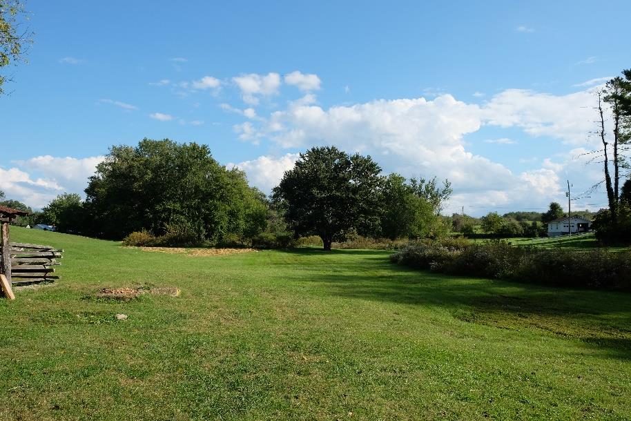 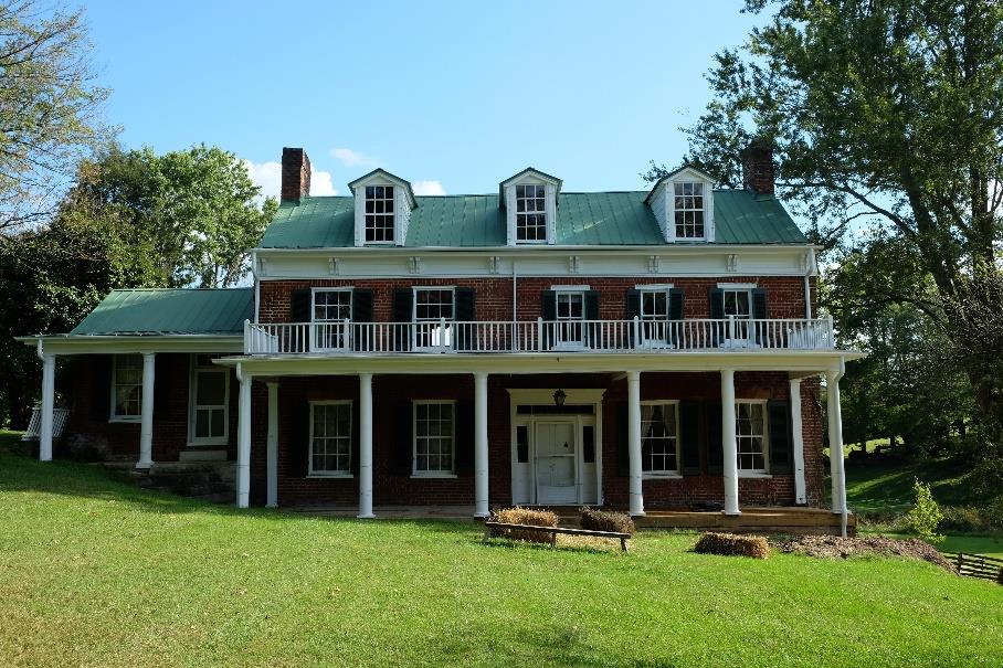 | ||||||||||
| Historic Murray-Dick Fawcett House | Historic Area Preservation | FY17 | 0.3 | City of Alexandria | City of Alexandria | Local | City of Alexandria | 38.80395671 | -77.045853 | The City of Alexandria received a grant award of $900,000 to assist in the fee-simple acquisition of a 0.30-acre lot on Prince Street in Old Town Alexandria, containing an historically significant 18th century timber frame and brick dwelling distinguished by its relatively unaltered state of preservation and high degree of integrity. The property is a contributing resource to the Alexandria Historic District, which is listed on the Virginia Landmarks Register and National Register of Historic Places and designated a National Historic Landmark by the Secretary of the Interior in 1966. The Murray-Dick Fawcett House is also adjacent to the Washington-Rochambeau Route and was one of the few buildings in existence in the area during the time of the American Revolution. The Office of Historic Alexandria currently manages eight museums and historic sites and will incorporate the house into its system as a public museum and educational center. Protection of the property now preserves a nationally significant architectural and cultural resource while promoting heritage tourism and providing public access to an urban greenspace in the downtown core. https://www.alexandriava.gov/MDFHouse |
   | ||||||||||
| Historic Yorktown Beach Trail | Open Spaces and Parks | FY01 | 1.5 | York County | York County | Private | York County | 37.23970339 | -76.510787 | A $117,500 grant was awarded to York County for acquiring easements along two acres of York River beach to provide a continuous pedestrian linkage and trail along the riverfront. https://www.visityorktown.org/153/Riverwalk-Landing |
| Hornet Swamp | Forestland Preservation | FY23 | 615 | Southampton and Sussex Counties | Virginia Department of Forestry | Private | Virginia Department of Forestry | 36.769891 | -77.275718 | The Dept. of Forestry (DOF) acquired an open-space easement on two parcels in Southampton and Sussex Counties with two miles of frontage on Hornet Swamp. The property includes a total of 615 acres, of which approximately 526 is forested and the remainder is in agricultural use. The property owner has been recognized by DOF for solid stewardship and Long Leaf Pine restoration on the property. The DOF easement protects sensitive bottomlands and more than 20,000 feet of forested buffers along Hornet Swamp and the perennial streams. |
  | ||||||||||
| Hoskins Creek Waterfront Land Acquisition in Tappahannock | Open Spaces and Parks | FY21 Round 2 | 7 | Essex County | Middle Peninsula Chesapeake Bay Public Access Authority | Local | Middle Peninsula Chesapeake Bay Public Access Authority | 37.916686 | -76.857727 | The Middle Peninsula Chesapeake Bay Public Access Authority (MPCBPAA), on behalf of the Town of Tappahannock, acquired seven acres on Hoskins Creek at the Rt. 17 Bridge in Tappahannock. The project provides additional public access to Hoskins Creek and the nearby Rappahannock River, increasing passive outdoor recreation opportunities (i.e. hiking/walking, fishing and swimming, wildlife viewing and bird watching), conserving a pristine coastal environment, and protecting a wetland marsh. Plans are in place to construct a car-top boat launch with parking and as well as a family outdoor gathering area. The property intersects the Floodplains and Flooding Resilience category of ConserveVirginia. |
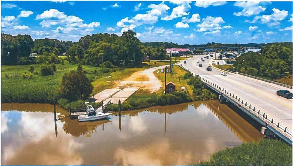 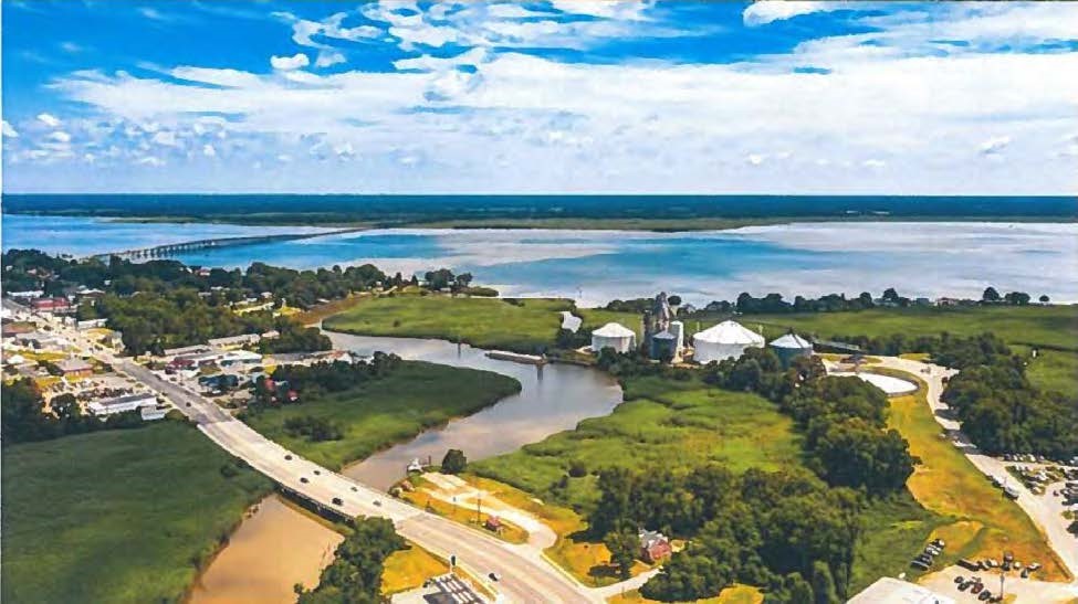 | ||||||||||
| Huff Rock | Forestland Preservation | FY24 | 660.92 | Wise County | Land Trust of Virginia | Private | Land Trust of Virginia | 36.855322 | -82.689143 | Land Trust of Virginia (LTV) received VLCF funds to assist with placing a conservation easement on the 662-acre Huff Rock property located in Wise County six miles east of Big Stone Gap. The property is on Powell Mountain, which forms the eastern border of the Powell River Valley and is part of the High Knob Massif. Huff Rock contains numerous conservation values including: "Outstanding" Forest Conservation Value, a large amount of sensitive mountainside soils, 1.6 miles of perennial streams, "Outstanding" ecological core value, and potential endangered/threatened species. Additionally, the property is contiguous to the Big Cherry Reservoir, the George Washington and Jefferson National Forest, and a property conserved by the Cave Conservancy of Virginia. The property contains incredible geologic formations, such as cave portals that connect to the cave system of the adjacent protected property, and mountain top rock formations, such as the one known as "Huff Rock". A conservation easement on the property will be co-held by LTV and the Lonesome Pine Soil and Water Conservation District. |
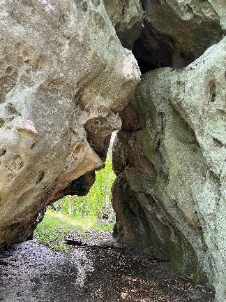   | ||||||||||
| Huff Rock | Forestland Preservation | FY25 | 647.00 | Wise County | Land Trust of Virginia | Private | Land Trust of Virginia | 36.85533 | -82.689147 | Land Trust of Virginia (LTV) was awarded VLCF funds to assist with placing a conservation easement on the 662-acre Huff Rock property located in Wise County six miles east of Big Stone Gap. The property is on Powell Mountain, which forms the eastern border of the Powell River Valley and is part of the High Knob Massif. Huff Rock contains numerous conservation values including: "Outstanding" Forest Conservation Value, sensitive mountainside soils, 1.6 miles of perennial streams, "Outstanding" ecological core value, and potential endangered/threatened species. Additionally, the property is contiguous to the Big Cherry Reservoir, the George Washington and Jefferson National Forest, and a property conserved by the Cave Conservancy of Virginia. The property contains incredible geologic formations, such as cave portals that connect to the cave system of the adjacent protected property, and mountain top rock formations, such as the one known as "Huff Rock". A conservation easement on the property will be co-held by LTV and the Lonesome Pine Soil and Water Conservation District. This project received a grant from VLCF last year for $182,000. They are seeking supplemental funds to cover the unexpected high cost of the required boundary survey for this exceptionally mountainous property. |
  | ||||||||||
| Hunting Quarter Farm | Forestland Preservation | FY26 | 662.00 | Sussex County | Virginia Department of Forestry | Private | Virginia Department of Forestry | -77.220625 | 36.865201 | The Virginia Department of Forestry received a VLCF grant to protect Hunting Quarter Farm. The property is a Century Forest, in the same family for 135 years and currently owned and managed by the great granddaughter of the original 1890 purchaser. The property contains 268 acres of active farmland, 386 acres of managed forestland, and 219 acres of wetlands mostly in pine plantation production along Dividing Creek and Hunting Quarter Swamp. The property is one mile from Chub Hill Natural Area Preserve and the Nottoway River. An open-space easement will be held by the Virginia Department of Forestry and protect natural resources on the property with a portion remaining in forestal use in perpetuity, and 50 to 100’ forested riparian buffers along the waterways. |
  | ||||||||||
| Huntley Property | Open Spaces and Parks | FY15 | 102 | Page County | Virginia Outdoors Foundation | Private | Potomac Appalachian Trail Conservancy | 38.63905295 | -78.357479 | The Potomac Appalachian Trail Conservancy (PATC) purchased 102 acres adjacent to Shenandoah National Park to expand the park, protect wildlife habitat, protect the viewsheds for hikers on the Appalachian Trail. The property is located near the Jewell Hollow Overlook and Tutwiler Hollow, and has allowed for the extension of Crusher Ridge Trail for public use. The PATC received a grant award of $75,000 to assist in completing this project. |
   | ||||||||||
| Huntsberry Farm Project | Historic Area Preservation | FY06 | 247 | Frederick County | Virginia Department of Historic Resources | Private | Shenandoah Valley Battlefields Foundation | 39.20367082 | -78.121729 | A $1,000,000 grant was awarded to Shenandoah Valley Battlefields Foundation to purchase in fee the 247-acre property, which is the last large unprotected farm in Winchester's Civil War Battlefields and was at the center of the Battle of Third Winchester fought in September 1864. The property, located within the Shenandoah Valley Battlefields National Historic District established by Congress, is surrounded by land already protected by the Battlefields Foundation and other partners. |
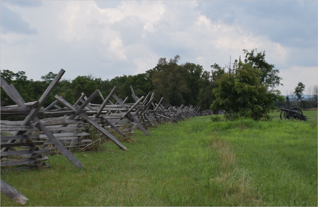 | ||||||||||
| Hutchison Farm/South Lot | Historic Area Preservation | FY06 | 24.87 | Loudoun County | Virginia Department of Historic Resources | Private | Waterford Foundation | 39.19197187 | -77.620677 | A grant of $135,000 was awarded to the Waterford Foundation, Inc. to place an easement on a 25-acre parcel, currently pastureland, within the Waterford National Historic Landmark District. The easement would reduce the allowable density on this parcel from eight homes to one, thus preserving the important agricultural character of Waterford's setting. |
| Hylton Tract at Bristoe Station | Historic Area Preservation | FY26 | 152.18 | Prince William County | Virginia Board of Historic Resources | Private | American Battlefield Trust | -77.537852 | 38.717435 | The American Battlefield Trust received a VLCF grant to preserve the 152.18-acre Hylton Tract at Bristoe Station Battlefield in Bristow through fee acquisition and an open-space easement to be held by the Virginia Board of Historic Resources (VBHR). The tract includes 150 acres in the battlefield's Core Area and two acres in its Study Area. The 1993 Civil War Sites Advisory Commission identifies the site as Priority I.3 (Class B) for Bristoe Station and Priority IV.1 (All classes) for Manassas Station Operations. The agricultural tract adjoins Bristoe Station Battlefield Heritage Park and land owned by the Trust that is, or will be, under easement with VBHR and transferred to Prince William County for inclusion in the public park. The property borders Bristow Road and the Norfolk Southern Railway and includes 2,450 feet of intermittent streams, 10 acres of wetlands, two ponds, and 28 acres of forestland. The Trust will initially steward the property and offer periodic tours. It is expected the land will be transferred to Prince William County for long-term protection, interpretation, and public access. |
  | ||||||||||
| Indian River Park | Open Spaces and Parks | FY00 | 90 | City of Chesapeake | City of Chesapeake | Local | City of Chesapeake | 36.8023514 | -76.226274 | A $200,000 grant was awarded to the City of Chesapeake to acquire 90 acres of existing park property located in Chesapeake but owned by the City of Norfolk. Recent removal of park restrictions on the property prompted Norfolk to seek sale of the property for non-park use. The park is operated by Chesapeake's Parks and Recreation Department. https://www.cityofchesapeake.net/facilities/facility/details/Indian-River-Park-98 |
| Indian River Watershed Project | Open Spaces and Parks | FY17 | 0.7 | City of Chesapeake | City of Chesapeake | Local | City of Chesapeake | 36.8231553 | -76.234737 | The City of Chesapeake was awarded a grant of $182,500 for the fee simple acquisition of a .7-acre parcel in the Indian River Watershed. The property has been developed as a public park to meet an urgent need identified by numerous local plans for public open space and water access in the Indian River Watershed. Previously, there was no public access in the watershed. The park is now known as Blue Heron Landing Park and provides fishing and crabbing areas, a kayak/canoe launch, and an observation platform. https://www.cityofchesapeake.net/Facilities/Facility/Details/Blue-Heron-Landing-Park-128 |
   | ||||||||||
| Ingles Ferry Farm | Historic Area Preservation | FY07 | 314 | Pulaski County | Virginia Department of Historic Resources/Virginia Outdoors Foundation | Private | New River Land Trust | 37.10411216 | -80.596582 | The grant award of $283,818 to New River Land Trust assisted in the purchase of an easement on the 314-acre Ingles Ferry Farm near Radford in Pulaski County to protect the farm house, ferry site, active farmlands and viewsheds along the New River. The owners are willing to show the property upon request and make the property available for educational visits and research. |
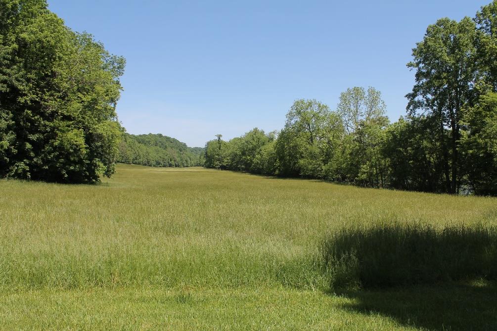 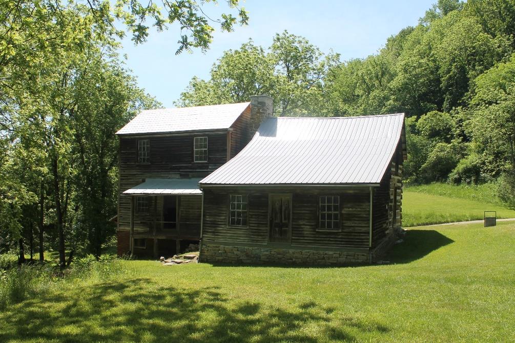 | ||||||||||
| Island Farm - Cedar Creek Battlefield | Historic Area Preservation | FY12 | 174 | Shenandoah County | Town of Strasburg/Shenandoah Valley Battlefields Foundation | Private | Shenandoah Valley Battlefields Foundation | 38.99382749 | -78.336956 | Shenandoah Valley Battlefields Foundation was awarded a grant of $238,937 to purchase an easement over 174 acres within the core of the Cedar Creek Civil War Battlefield. The Civil War Sites Advisory Commission of the National Park Service has rated this battlefield its highest preservation priority of I.1. The property is located adjacent to existing conservation easements, as well as to the Cedar Creek and Belle Grove National Historical Park. DHR now holds an easement over the property, and SVBF utilizes the property for public interpretation of the Battle of Cedar Creek. The easement requires preservation of a large part of the battlefield as well as Cedar Creek waterfront, scenic open space, and prime agricultural soils. Matching funds for this project include: Shenandoah County, Town of Strasburg, American Battlefield Protection Program grant funding, Virginia Wetlands Restoration Trust Fund, private donations and owner financing. |
   | ||||||||||
| Island Ford Farm | Farmland Preservation | FY12 | 150 | Shenandoah County | Potomac Conservancy/Shenandoah Co. Easement Authority | Private | Potomac Conservancy | 38.9614723 | -78.379487 | The Potomac Conservancy was awarded a grant of $82,500 for the purchase of a conservation easement on 150 acres in Shenandoah County. This farm includes 60+acres of woodland and 1.1 miles of frontage on the North Fork of the Shenandoah River. The easement is co-held with the Shenandoah County Conservation Easement Authority (the authority's first project) and the Shenandoah County Easement Authority. The farm uses livestock stream exclusion fencing, alternative water systems, rotational grazing, and forested riparian buffers, and these protections will be continued in the conservation easement. Matching funds for the project included: NRCS Farm and Ranchland Protection program; landowner donation; and Potomac Conservancy expenses. |
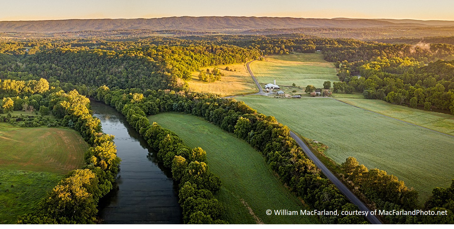 | ||||||||||
| Jack Mountain Tracts | Forestland Preservation | FY18 | 1658 | Highland County | Virginia Department of Forestry | Private | Virginia Department of Forestry | 38.41918442 | -79.494914 | This grant award of $225,000 helped the Virginia Department of Forestry fund the partial purchase of an open space easement to protect 1,658 acres of forestland in Highland County that occupy the upper slopes and four miles of summit along Jack Mountain. The property contains 1,600 acres of forestland, a majority of which is considered high forest conservation value, and more than 31,000 feet of intermittent streams that flow directly into the Bullpasture River. The easement requires permanent riparian buffers on all of the watercourses and it establishes a large habitat protection area that permanently safeguards eight significant natural heritage resources, including two G2/S1 element occurrences and stands of red spruce (Picea rubens) a diminished tree species in Virginia. The easement protects miles of highly visible and undeveloped mountaintop and slopes, a substantial open space resource that is visible for miles around, including from State Route 617, a County-designated scenic route. |
   | ||||||||||
| Jackson at Wilderness | Historic Area Preservation | FY25 | 36.17 | Orange County | American Battlefield Trust | Private | American Battlefield Trust | 38.316988 | -77.766423 | The American Battlefield Trust was awarded a grant to preserve the 36.17-acre Jackson Tract in Orange County via purchase and recordation of a conservation easement to be held by the Virginia Board of Historic Resources. The property is located entirely within the Core Area of the Wilderness Battlefield, a Priority I.2 (Class A) battlefield, and includes 32 acres within the Study Area of the Chancellorsville Battlefield, a Priority I.2 (Class A) battlefield, and 8.2 acres within the Study Area of the Mine Run Battlefield, a Priority I.3 (Class B) battlefield. The Jackson Tract is adjacent to the Wilderness Battlefield, part of the Fredericksburg and Spotsylvania National Battlefield Park. The property includes 18.8 acres of woods and an intermittent stream. As owners of the property, the Trust will execute and record a conservation easement that preserves the tract's natural and historic resources in perpetuity and protects the viewshed of the Wilderness Battlefield. |
   | ||||||||||
| Jackson House at Ball's Bluff | Open Spaces and Parks | FY13 | 3.22 | Loudoun County | Virginia Department of Historic Resources | Local | Northern VA Regional Park Authority | 39.13131117 | -77.536324 | The Northern Virginia Regional Park Authority was awarded $175,000 in grant funding for the acquisition of this 3.22-acre parcel of land located within the core area of the Ball's Bluff Battlefield. Acquisition and permanent protection of the parcel protects the Jackson House, a key landmark around which the initial fighting and skirmishing of the battle took place. The Northern Virginia Regional Park Authority has incorporated the parcel into the existing Ball's Bluff Regional Park, provide full public access to the property and adapt the existing Jackson House residence for use as a visitor and interpretive center. The parcel is adjacent to two existing parks, located in the Journey Through Hallowed Ground National Heritage Area, and links federal, regional, and local park lands. https://www.novaparks.com/parks/balls-bluff-battlefield |
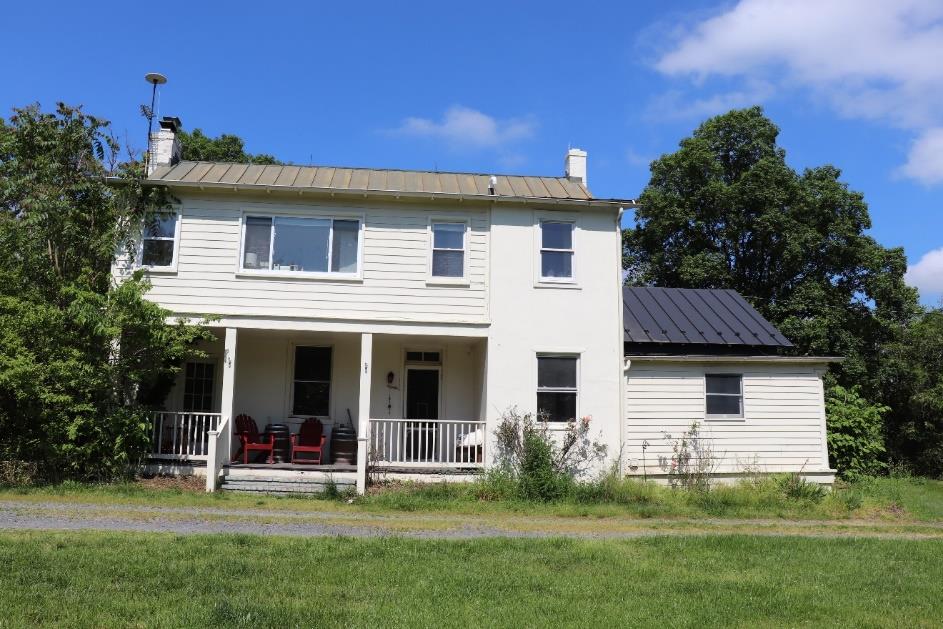 | ||||||||||
| James Jackson Tract at the Wilderness Battlefield (Withdrawn) | Historic Area Preservation | FY21 Round 1 | 36.17 | Orange County | American Battlefield Trust | Private | American Battlefield Trust | 38.316325 | -77.765899 | The American Battlefield Trust was awarded VLCF funding to preserve the 36.17-acre James Jackson Tract, located in Orange County, via a fee acquisition and with an open-space easement to be held by the Virginia Board of Historic Resources. The tract is located entirely in the Core Area of the Wilderness Battlefield and partially in the Study Areas of the Mine Run and Chancellorsville Battlefields. In addition to its historic significance, the James Jackson Tract includes 19 acres of woodlands, 573 feet of an intermittent stream, and is in the Chesapeake Bay Watershed. Preservation by the Trust would prevent residential development and thwart efforts to consolidate surrounding parcels for a significant residential subdivision or utility-scale solar facility. Preservation would also protect the view sheds of nearby preserved tracts, including portions of the Fredericksburg and Spotsylvania National Military Park, and improve the recreational and educational experiences of visitors. The project was withdrawn. |
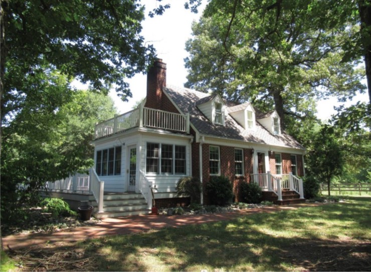 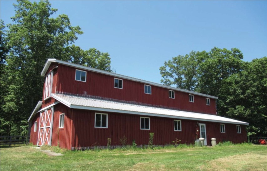 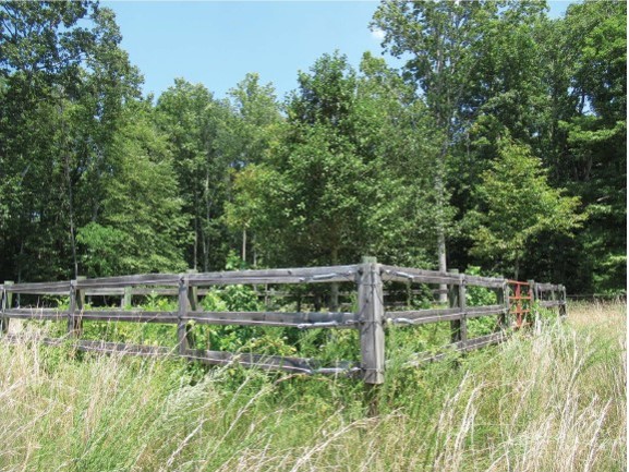 | ||||||||||
| James River at Seven Islands | Forestland Preservation | FY16 | 330 | Fluvanna County | Virginia Department of Forestry | Private | James River Association | 37.73897734 | -78.377564 | James River Association utilized the $110,000 of grant funds to purchase a conservation easement to be held by the Virginia Department of Forestry on 330 acres of land and islands located southeast of Charlottesville in Fluvanna County. The easement preserves riparian areas along streams flowing into the James; protects and enhances water quality; protects wildlife habitat and threatened native wildlife species; and maintains at least 75% of the land as a sustainable forest resource. The property, which is 97% forestland, is located between two DGIF Wildlife Management Areas that provide public access, and is on a stretch of the river that qualifies for scenic-river status. It is also in an area that is part of the Captain John Smith Chesapeake National Historic Trail and the Upper James River Heritage Trail. |
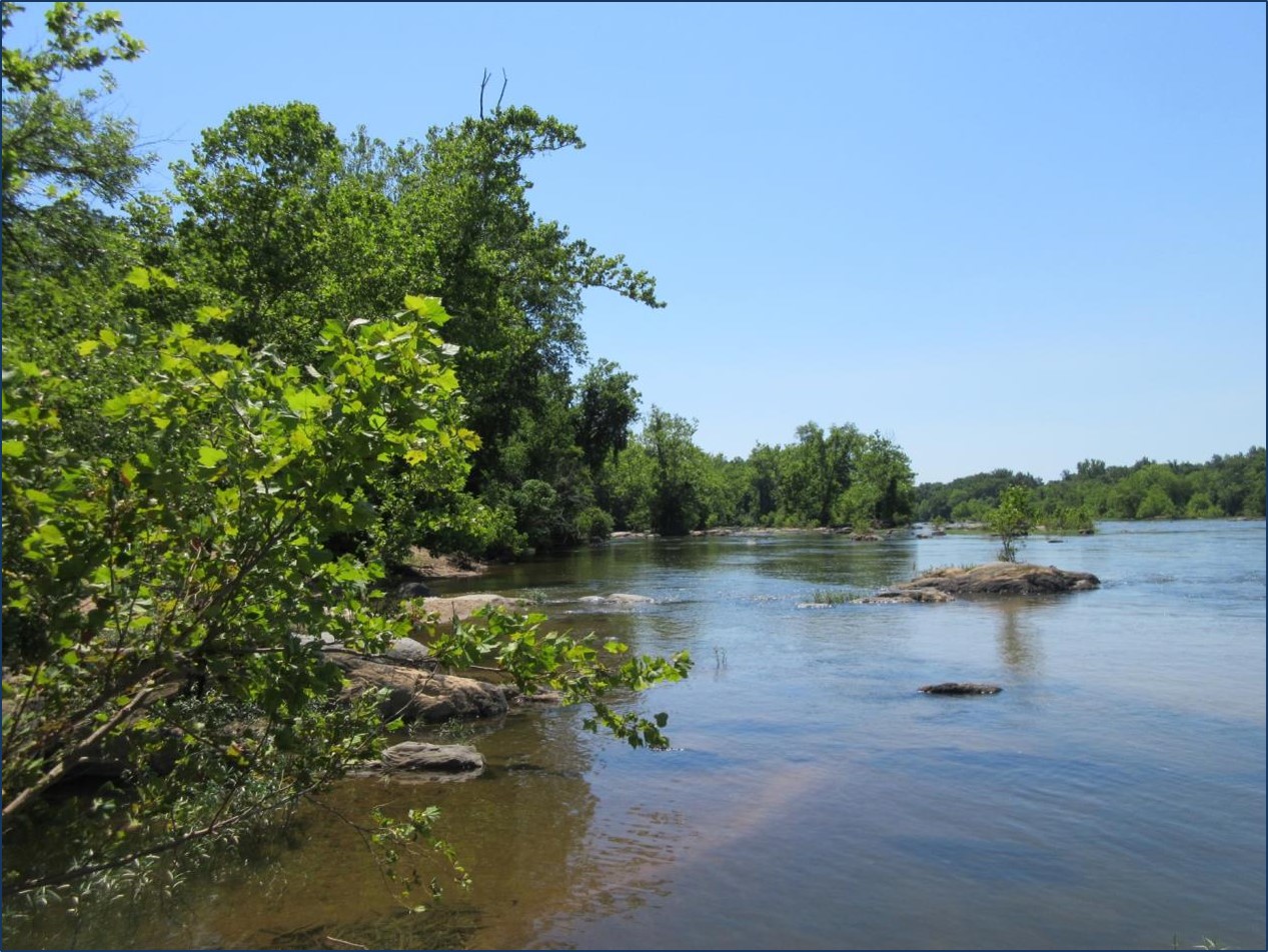 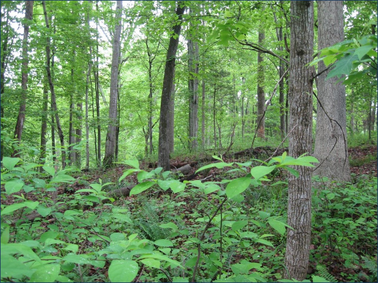 | ||||||||||
| James River Conservation Area | Open Spaces and Parks | FY16 | 107.87 | Chesterfield County | Chesterfield County | Local | Chesterfield County | 37.43099696 | -77.429744 | Chesterfield County Parks and Recreation received VLCF grant funds of $302,000 to assist in the purchase of 108 acres of land containing 4,600 linear feet of frontage on the James River at the confluence of the river with Falling Creek, southeast of Richmond. The property, which is just north of Drewry's Bluff National Battlefield Park, is planned to be developed as a public park for walking, biking, nature observation. It will one day include a boat-launch facility at Falling Creek. The project will serve as a major segment of the James River Linear Park and Trail. https://www.chesterfield.gov/Facilities/Facility/Details/James-River-Conservation-Area-428 |
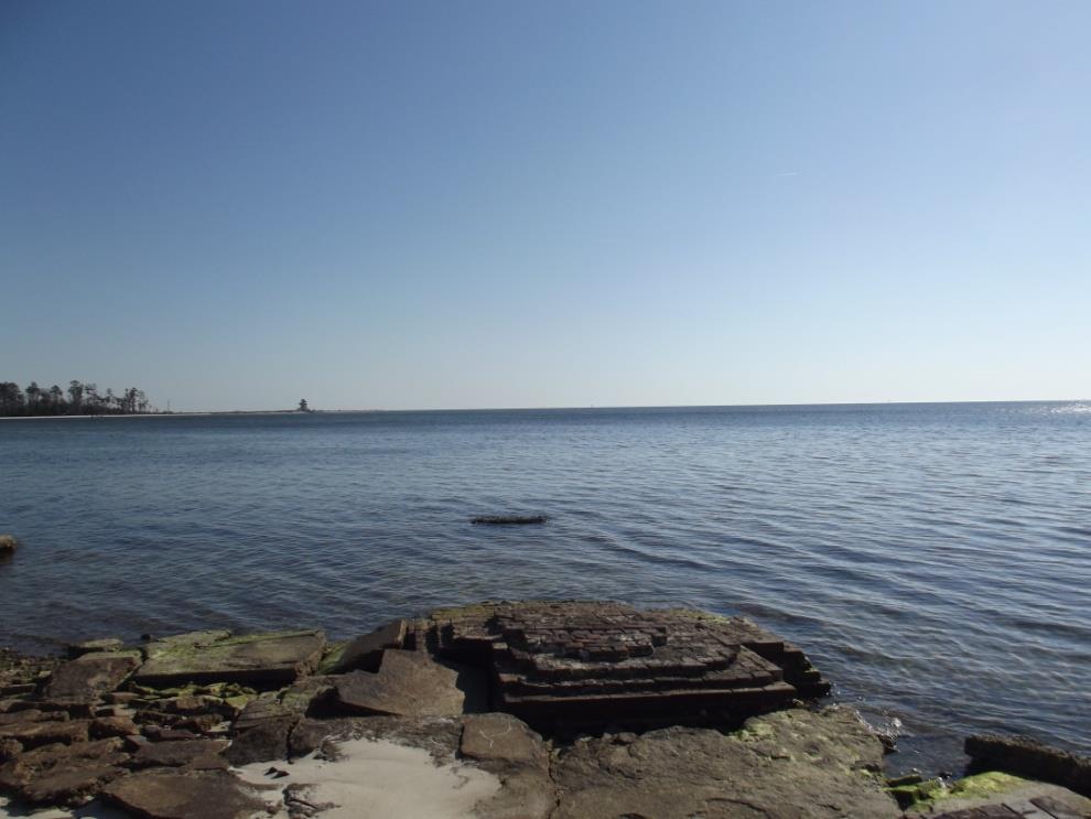 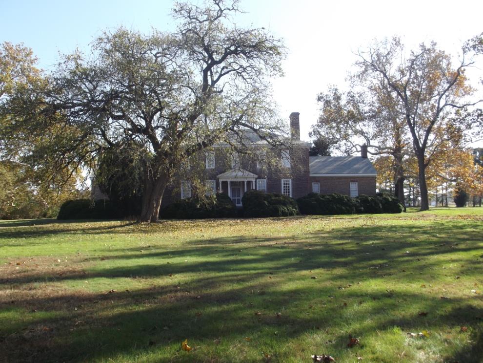 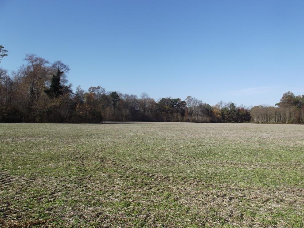 | ||||||||||
| Jamestown Campground and Yacht Basin | Open Spaces and Parks | FY06 | 112 | James City County | James City County | Local | James City County | 37.24173427 | -76.752201 | A $750,000 grant was awarded to James City County Development Management to assist in the purchase of the 112-acre Jamestown Campground. This waterfront property surrounds the historic and cultural resources at Historic Jamestowne on Jamestown Island and the Jamestown Settlement. It was the last group of privately owned undeveloped parcels in the Jamestown area. Note that portions of the project area outside of the grant area may or may not remain under direct county ownership and control; they may be leased or sold with tight deed restrictions or leased with strict terms and conditions to ensure the properties remain in recreational, open space or other compatible uses. The VLCF Grant was matched with $6,000,000 ($3,000,000 cash, $3,000,000 anticipated NOAA CECLP). |
| Jamison Cove Marina | Open Spaces and Parks | FY01 | 1.56 | Middlesex County | Town of Urbanna | Local | Town of Urbanna | 37.6374717 | -76.571135 | A $245,955 grant was awarded to the Town of Urbanna for the acquisition of a 1.56-acre marina on Urbanna Creek with access to the Rappahannock River. Plans are to develop a waterfront park with public boat access, canoe launch, transient boat slips, picnic areas, and general park amenities. https://urbannava.gov/marina/index.php |
| Jatt Farm ~ Musapatike | Farmland Preservation | FY25 | 353.56 | Mecklenburg County | Virginia Outdoors Foundation | Private | Virginia Outdoors Foundation | 36.838716 | -78.487844 | Jatt Farm (353.56 acres) is located in Mecklenburg County. The farm produces cattle, hay, and timber. More than half of the farm’s acreage is in Prime Soils, and 87 acres are considered farmland of statewide importance. The property fronts on a designated VA Byway and adjoins property under an existing Virginia Outdoors Foundation easement. Finneywood Creek runs along the farm's northern boundary. The property also contains 90 acres of Ecological Cores as delineated in VA Natural Lands Assessment within the forested portion of the property comprising 135 acres. |
  | ||||||||||
| Jones Farm (FY15) | Farmland Preservation | FY15 | 43 | Stafford County | Stafford County | Private | Stafford County | 38.27601734 | -77.403182 | This grant request by Stafford County received a grant award of $50,000 for the purchase of a conservation easement on 43 acres of farmland in Stafford County. The Kenneth Jones Farm consists of 13 acres of active farmland (producing hay) and 24 acres of mixed timber forest land. The property has a minimum of 35 foot vegetative buffers along the approximately 2,600 feet of streams and wetlands. While the property is in an area that retains large parcels that continue to be used for agricultural purposes, it does have over 500 feet of public road frontage and well-drained soils, which made it subject to significant development pressure. |
   | ||||||||||
| Jones Farm (FY16) | Farmland Preservation | FY16 | 43 | Stafford County | Stafford County | Private | Stafford County | 38.276017 | -77.403179 | Stafford County received a grant award for $130,000 to assist in the purchase a conservation easement on 43 acres of farmland in Stafford County that was previously funded by VLCF in 2014. The Jones Farm consists of 13 acres of active farmland (producing hay) and 24 acres of mixed timber forest land. Sixty-eight percent of the property is prime farmland and statewide important soils. The property has a minimum of 35 foot vegetative buffers along the approximately 2,600 feet of streams and wetlands and is within one quarter of a mile of conserved property. While the property is in an area that retains large parcels that continue to be used for agricultural purposes, it does have over 500 feet of public road frontage and well-drained soils, which made it subject to significant development pressure. |
   | ||||||||||
| Kanawha Canal Park (withdrawn) | Historic Area Preservation | FY00 | 3 | Botetourt County | Town of Buchanan | 37.53615746 | -79.686894 | A $13,255 grant was awarded to the Town of Buchanan to acquire three parcels of land in the downtown area for park expansion and access to the James River. This project was withdrawn. | ||
| Kane Gap Connectivity Project | Open Spaces and Parks | FY26 | 250.00 | Scott County | VA Dept. of Conservation and Recreation - State Parks | State | VA Dept. of Conservation and Recreation - State Parks | -82.818668 | 36.733720 | The Kane Gap Connectivity Project seeks to acquire 250 acres in Scott County to develop a hiking and biking trail from the Daniel Boone Wilderness Trail Interpretive Center, part of Natural Tunnel State Park, to Kane Gap – the last undeveloped section of the Wilderness Road in SWVA. The trail was originally known as The Great Warrior's Path to Native Americans that utilized the path, and has hosted several significant events throughout American history. The acquisition of this property would not only complete the Wilderness Road in SWVA, but connect the public to the cultural, scenic, and natural resources of Kane Gap. The trail through this property was originally part of the DWR Daniel Boone Loop of the Virginia Bird & Wildlife Trail, a significant habitat for several important woodland bird species. The protection of rare and endangered species on the property would be accomplished by maintaining 95% forest coverage and 100’ forest riparian buffers along streams. The Virginia Department of Conservation and Recreation received a $464,000 VLCF grant to complete this project. |
   | ||||||||||
| Keister Park | Open Spaces and Parks | FY01 | 151 | Shenandoah County | Shenandoah County | Local | Shenandoah County | 38.97851264 | -78.324715 | A $306,575 grant was awarded to Shenandoah County for the acquisition of a 151.36-acre tract for a new county park. This project is partially located on the North Fork of the Shenandoah River and provides thousands of feet of river frontage. |
| Kelly's Ford Battlefield Overlook Park | Historic Area Preservation | FY06 | 8 | Culpeper County | Virginia Department of Historic Resources | Private | Brandy Station Foundation | 38.47450458 | -77.780161 | A $75,000 grant was awarded to Brandy Station Foundation to help fund the fee simple acquisition of eight acres of land buffering Kelly's Ford, which had been advertised for residential development. The Ford has been an important crossing on the Rappahannock River throughout history, and is particularly significant for its role in the Battle of Brandy Station. Ultimately, the property will be open to the public, with signage, interpretive displays, and walking paths. |
| Kernstown | Historic Area Preservation | FY00-01 (Civil War Battlefield Grant) | 285.55 | Frederick County | Private | 39.14682411 | -78.203688 | A $350,000 grant was awarded to a private non-profit organization to acquire 285 acres of threatened Civil War Battlefields. The grant was used as match for a Land and Water Conservation Fund grant under the American Battlefield Protection Program for Civil War Battlefield Land Acquisition, awarded by the National Park Service. | ||
| Kevin Jones Farm (FY21 Round 2) | Farmland Preservation | FY21 Round 2 | 70 | Stafford County | Stafford County | Private | Stafford County | 38.27567 | -77.408921 | Stafford County received this grant to place a conservation easement on the Kevin Jones Farm, which intersects both the Cultural and Historic Preservation and the Natural Habitat and Ecosystem Diversity categories of ConserveVirginia. The easement is held by Stafford County, pursuant to their Purchase of Development Rights Program. The 70-acre property is located along Forest Land Road, a scenic, rural road providing visual access to the traveling public and is used for crop production and keeping of livestock. The easement protects 36 acres of prime farm soils and soils of statewide importance; 15 acres of mixed forestland; and environmental features, including 2,430 feet of a forested perennial stream and 4.8 acres of high quality wetlands. The property falls within a DCR Natural Heritage ecological core, and contains an element occurrence of a threatened and endangered species. The property is adjacent to managed conserved lands under easement with Northern Virginia Conservation Trust, and is located 200 feet from another County PDR conservation easement. The property itself is associated with Civil War activity and will preserve on-site Civil War trenches. |
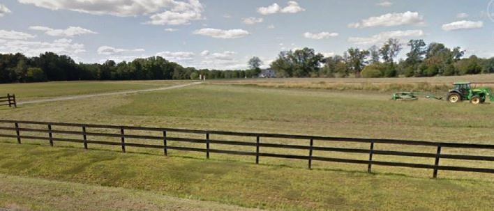 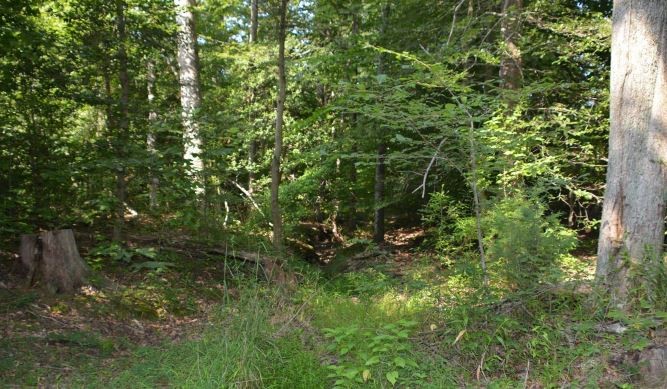 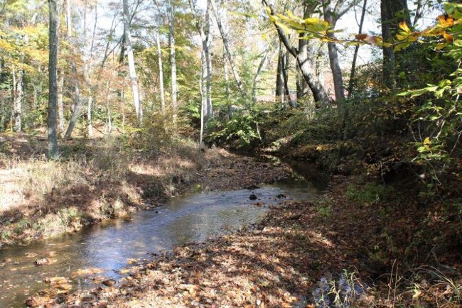 | ||||||||||
| Kevin Jones Farm (FY22) | Farmland Preservation | FY22 | 70.00 | Stafford County | Stafford County | Private | Stafford County | 38.275667 | -77.408921 | Stafford County is conserving the Kevin Jones Farm, which intersects both the Cultural & Historic Preservation and the Natural Habitat and Ecosystem Diversity categories of ConserveVirginia. The 70-acre farm produces crops and livestock and is located along Forest Land Road, a scenic, rural road. The conservation easement is held by the county under its Purchase of Development Rights Program and will protect 36 acres of prime farm soils and soils of statewide importance; 15 acres of forestland; and environmental features including 2,430 feet of a forested perennial stream and five acres of high quality wetlands. The easement will also protect a DCR ecological core and an element occurrence of a threatened and endangered species, as well as historic Civil War trenches. The property is adjacent to other conserved lands. |
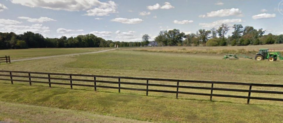 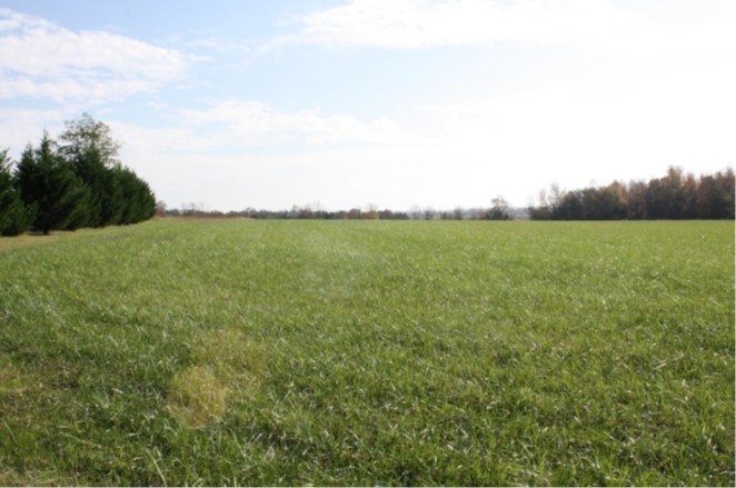 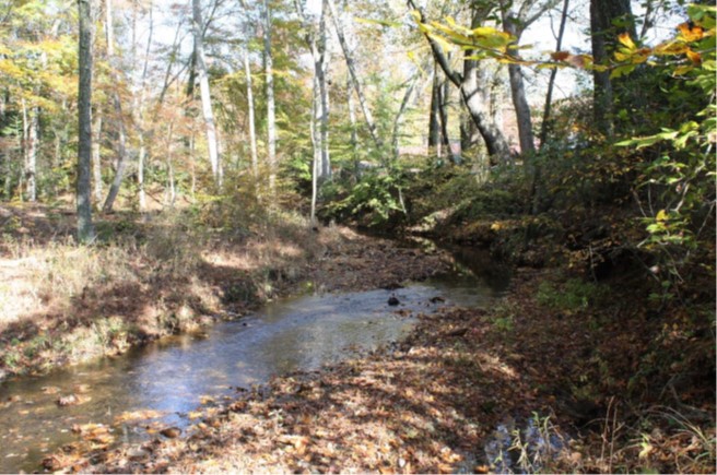 | ||||||||||
| Kippax Plantation | Historic Area Preservation | FY06 | 8.4 | City of Hopewell | The Archaeological Conservancy | 37.27999458 | -77.31826 | This $205,000 grant award to The Archaeological Conservancy assisted in the fee simple purchase of 8.4 acres known as the Kippax Plantation in Hopewell. Built along the Occaneechi Trail trade route, the property served as a primary location for the exchange of goods between early European settlers and Native Americans in the 17th Century. The property is available for research by qualified individuals, educational opportunities, heritage tourism, and for use by American Indians and other culturally related groups. | ||
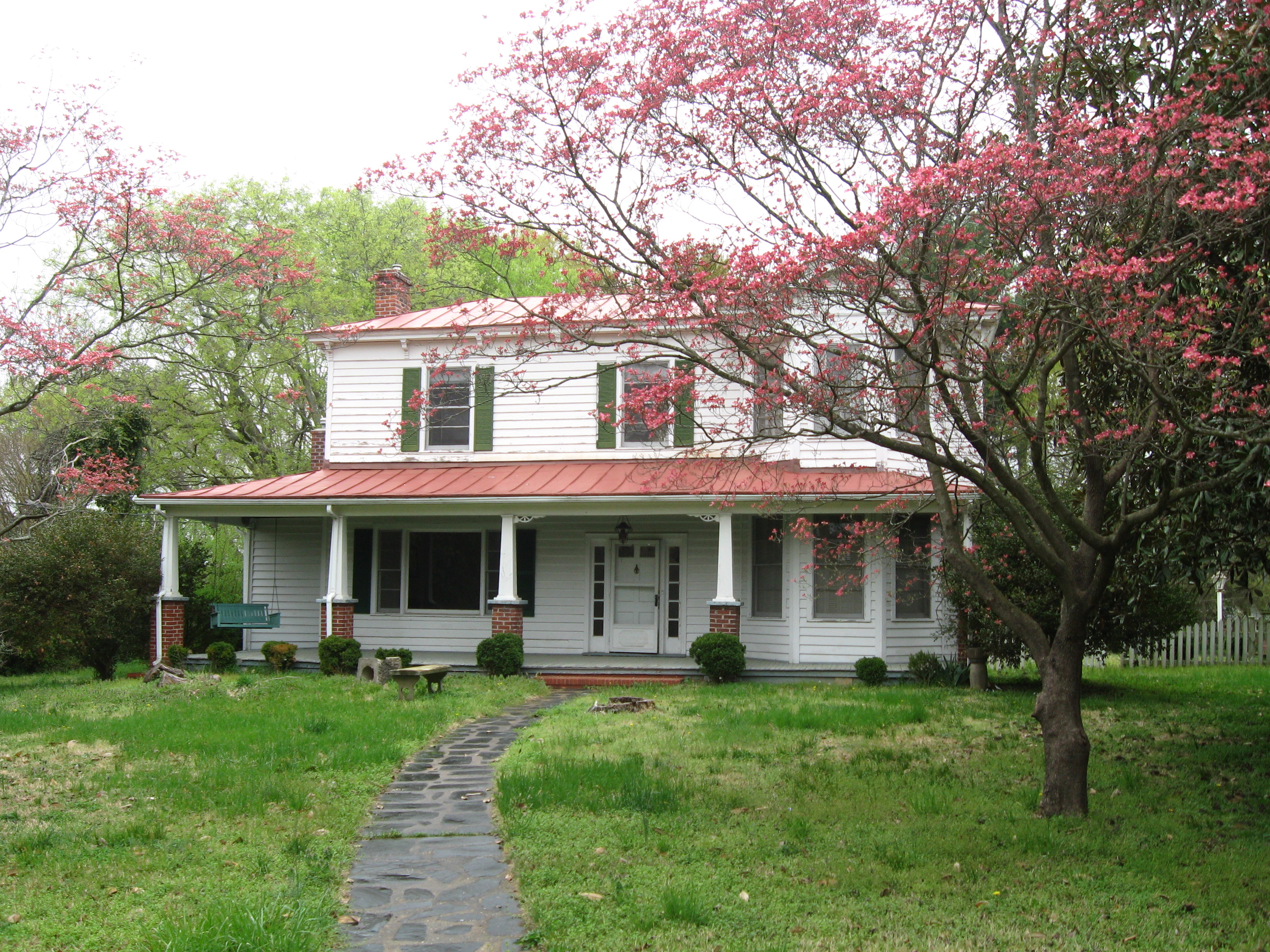 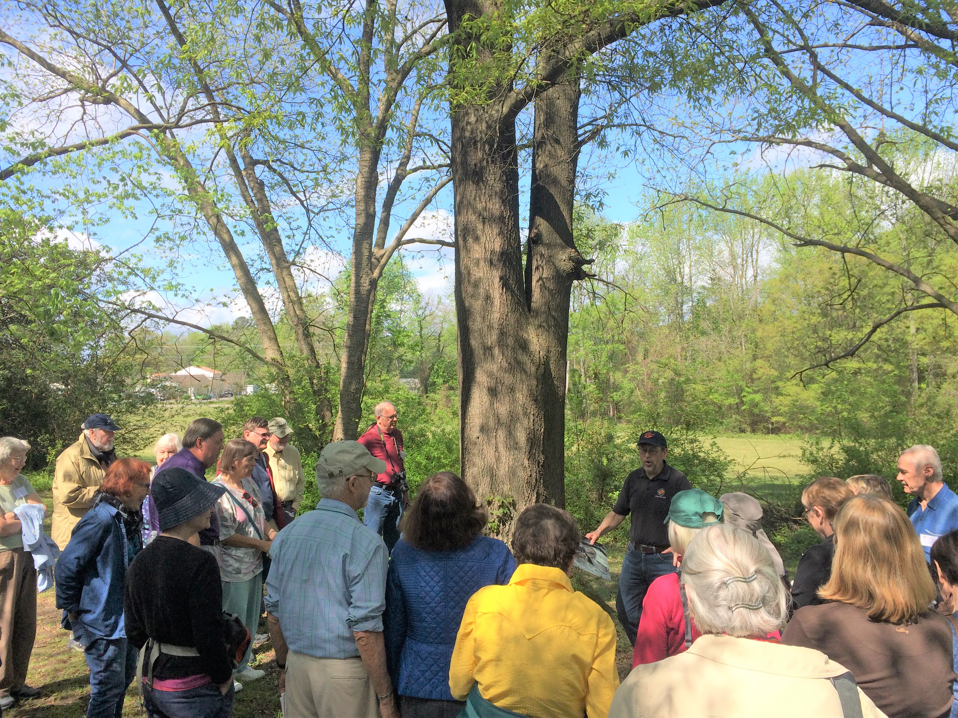 | ||||||||||
| Koon Dairy Farm | Farmland Preservation | FY09 | 213 | Clarke County | Clarke County Easement Authority | Private | Clarke County Easement Authority | 39.20982272 | -78.048366 | The grant award of $146,000 funded the purchase of a conservation easement on 213 acres of farmland in Clarke County by the Clarke County Easement Authority. This property is a working dairy farm, containing approximately 175 acres of open land for hay, crop and pasture, and another 40 acres of woodland. The farm also includes 2,800 feet of frontage on Opequon Creek, an EPA designated impaired waterway. The family has worked with the Lord Fairfax Soil and Water Conservation District to implement Best Management Practices on the property, including a nutrient management plan, no-till planting, winter small grain cover crops and a woodland buffer filter. The property has a home from 1910, which was determined by the Clarke County Historic Preservation Commission to be eligible for the National Register. |
| Lake Caledon - Caledon State Park Expansion | Open Spaces and Parks | FY25 | 468.00 | King George County | Virginia Department of Conservation and Recreation | State | Virginia Department of Conservation and Recreation, Division of State Parks | 38.316946 | -77.160483 | The Lake Caledon acquisition, supporting the expansion of Caledon State Park, is an opportunity to increase the State Park by nearly 20% through a Virginia Department of Conservation and Recreation partnership with the Trust for Public Land (TPL) and the US Navy. The 468-acre Lake Caledon property in King George County is a long-standing acquisition priority for DCR, the Friends of Caledon State Park, and King George County. The property is an undeveloped, mostly forested tract immediately south of Caledon State Park that was slated for a residential subdivision before TPL secured a purchase agreement with the owners. Through this acquisition, the expansion of Caledon State Park, a designated National Natural Landmark, will increase recreational opportunities at the Park such as camping, hiking, fishing, canoeing, kayaking, and the potential for overnight lodging; will protect and enhance the visitor experience along the Dahlgren Railroad Heritage Trail, a designated National Recreation Trail, and along the adjacent State Route 218, a Virginia Scenic Byway; and will help retain intact forest areas that will buffer the Park from development. |
 | ||||||||||
| Lee County Cave Isopod Habitat Protection | Natural Area Preservation | FY15 | 266.78 | Lee County | Virginia Department of Conservation and Recreation | Private | The Nature Conservancy | 36.6579027 | -83.191689 | The Nature Conservancy (TNC) utilized $127,157 in grant funding from VLCF to acquire three critical properties in the Powell River/Cedars area of Lee County, Virginia. The objective of this project was to purchase significant karst and riparian lands to reduce threats to water quality and to protect a federally listed cave species and habitat for several rare plants and animals. Once acquired by TNC, the properties were dedicated as part of The Cedars Natural Area Preserve and protected as open space land. Matching funds were provided by a Recovery Land Acquisition grant awarded by the United States Fish and Wildlife Service to the Virginia Department of Game and Inland Fisheries in partnership with TNC. This project is a critical step towards fully meeting the recovery goals for the federally listed Lee County cave isopod (Lirceus usdagalun) and the eventual de-listing of the species by the United States Fish and Wildlife Service. https://www.dcr.virginia.gov/natural-heritage/natural-area-preserves/thecedars |
  | ||||||||||
| Leonard Farm | Farmland Preservation | FY01 | 148 | Carroll County | Virginia Outdoors Foundation/National Committee for the New River | Private | Virginia Outdoors Foundation | 36.67702501 | -80.933842 | A grant for $81,806 was awarded to secure an easement on a 148-acre grade-A dairy adjacent to New River Trail State Park. The project had three primary public purposes: 1) protection of prime agricultural soils unusual in Southwest VA; 2) protection of scenic views along New River Trail beside Chestnut Creek, which runs through property - easement covers both sides of Trail; and, 3) protection of state park resources |
| Long Lane | Farmland Preservation | FY18 | 75.12 | Loudoun County | Private | Northern Virginia Conservation Trust | 39.29080795 | -77.680563 | This VLCF grant of $187,695 helped to fund the partial purchase of a conservation easement on an active 75-acre family farm in western Loudoun County. The project was a partnership between the Northern Virginia Conservation Trust and Loudoun County and also received funding from NRCS ACEP-ALE. Protection of the property enhances water quality with approximately 1,500 linear feet of permanent vegetated riparian buffers with livestock exclusion along an intermittent stream and conserves prime and statewide important agricultural soils that will remain available for agricultural use in perpetuity. | |
  | ||||||||||
| Lower Blackwater | Natural Area Preservation | FY07 | 415 | Southampton County | Virginia Department of Conservation and Recreation | Private | The Nature Conservancy | 36.58998512 | -76.91419 | The grant award of $208,000 assisted The Nature Conservancy purchase a 415-acre conservation easement on the Blackwater River, Southampton County. The site is part of a high priority forested core, intersects two B2 sites, contains bald eagle nests, and is part of an unprotected stream-head pocosin (upland marsh). |
| Lower Potomac River Corridor | Farmland Preservation | FY24 | 320 | Westmoreland County | The Trust for Public Land | Private | The Trust for Public Land | 38.180346 | -76.908468 | The Lower Potomac River Corridor project will conserve 320 acres of farmland located along the Potomac River and Popes Creek directly across from and within the viewshed of the George Washington Birthplace National Monument, a unit of the National Park Service. The Trust for Public Land (TPL) is partnering with the landowners, the Virginia Outdoors Foundation, and the US Navy to acquire open-space easements on two adjacent farms to be co-held by VOF and the Navy. When conserved, these farms will become part of an over 2,700-acre complex of contiguous farmland, forests and wetlands protected through conservation easements, and link to another 3,000 acres of public and privately conserved land, including the GW Birthplace National Monument, Westmoreland State Park, and Stratford Hall National Historic Landmark, extending for eight miles along the river. |
   | ||||||||||
| Lynnhaven Estuary Protection | Open Spaces and Parks | FY12 | 84.65 | City of Virginia Beach | City of Virginia Beach | Local | City of Virginia Beach | 36.90319652 | -76.10288 | The City of Virginia Beach Parks & Rec. Department was awarded $500,000 for fee simple acquisition of 84 acres of coastal wetlands and maritime forest to expand a network of existing adjacent conservation lands along Pleasure House Creek and Lynnhaven Bay. In close proximity to First Landing State Park, this acquisition places the property in public ownership and provides public access to the shoreline and protection of the Lynnhaven watershed. The acquisition was part of a larger conservation effort to permanently protect the entire Pleasure House Point property that includes a partnership between the City of Virginia Beach, the Trust for Public Land, and the Chesapeake Bay Foundation. https://parks.virginiabeach.gov/outdoors/city-parks/pleasure-house-point-natural-area |
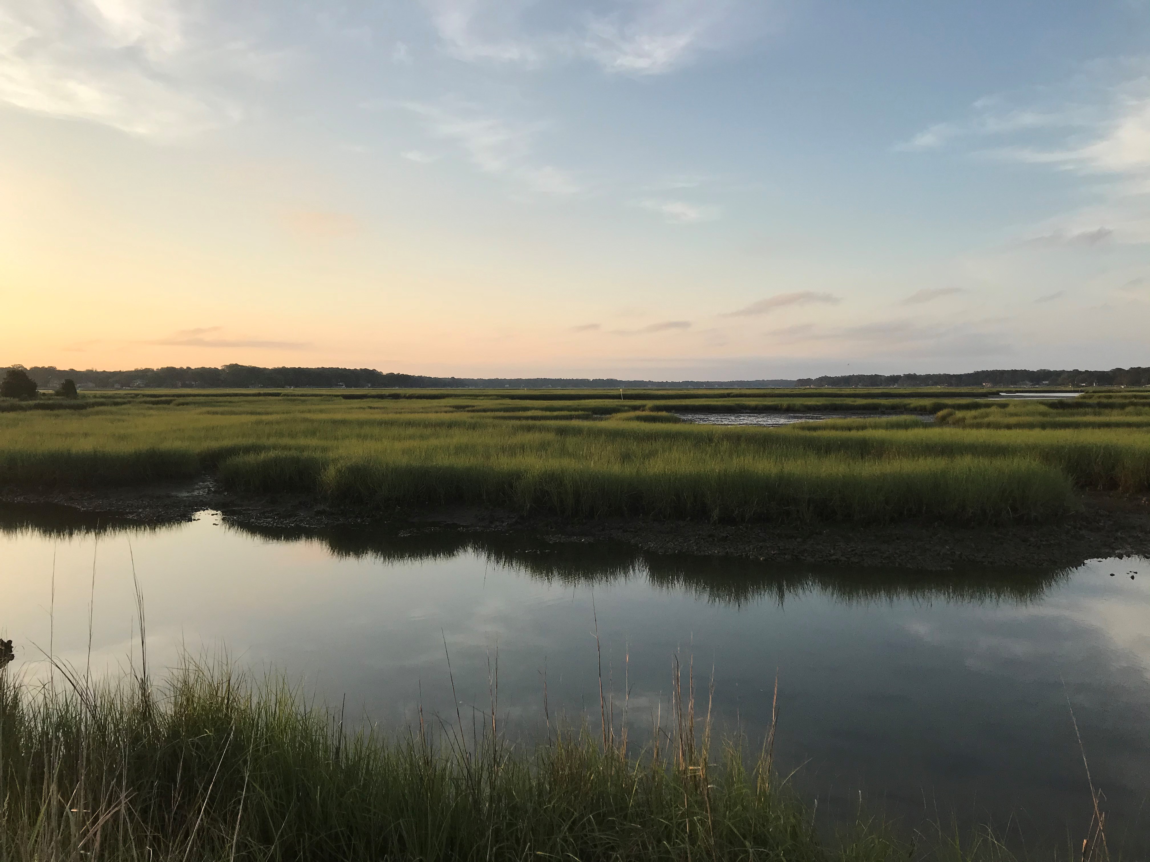 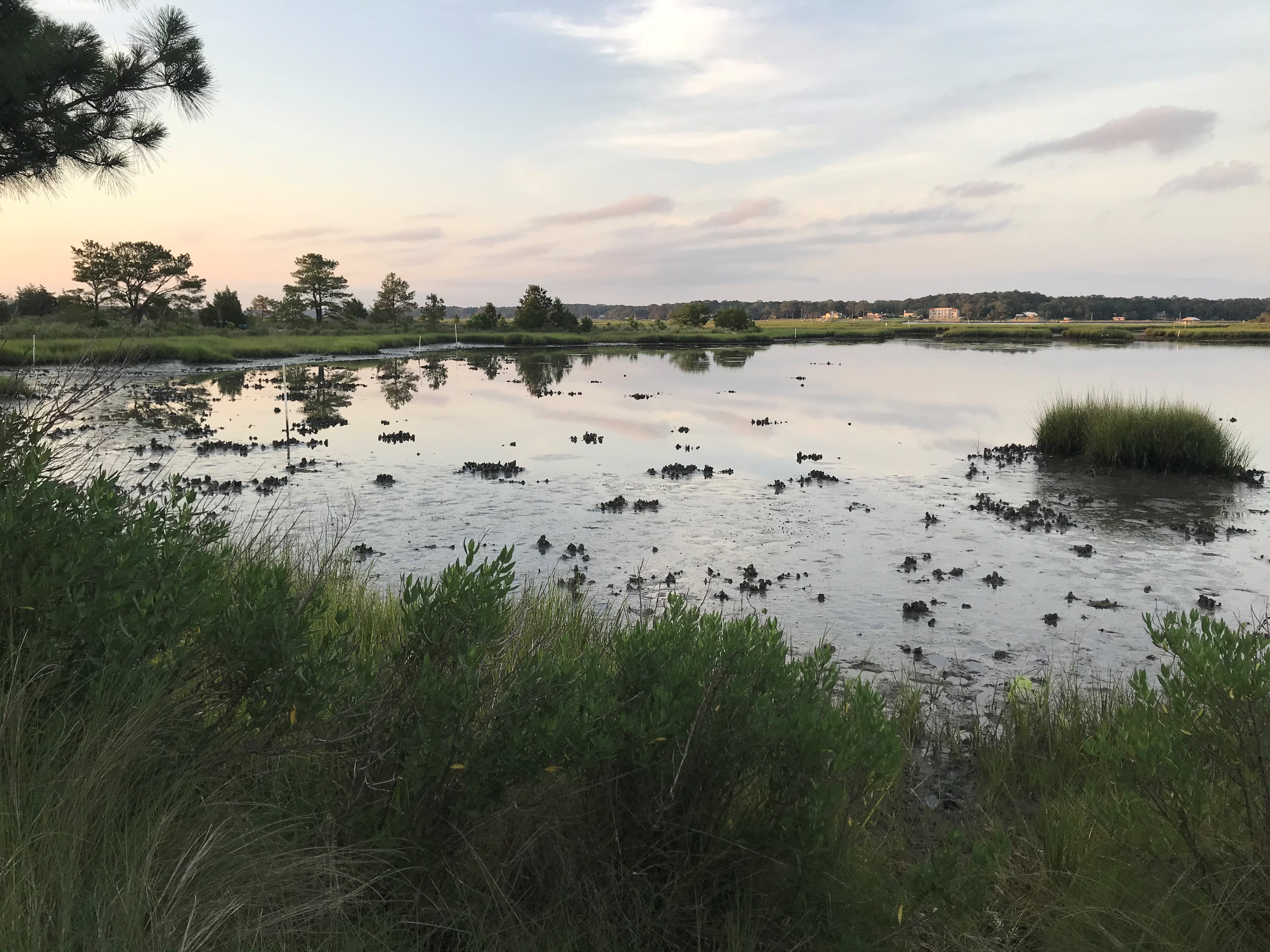 | ||||||||||
| Lyon Farm | Historic Area Preservation | FY18 | 63.09 | Shenandoah County | Virginia Department of Historic Resources | Private | Shenandoah Valley Battlefields Foundation | 38.98106552 | -78.402747 | A grant of $154,283 in VLCF funds to protect this 63-acre property was awarded to Shenandoah Valley Battlefields Foundation. The parcel is within the core area of the Civil War Battle of Fisher's Hill (1864) as well as the study area of the Cedar Creek Battlefield (1864). Lyon Farm was near the center of Confederate earthworks that spanned the Fisher's Hill Battlefield and contained Gordon's Hill, used as a key artillery position during the battle. Portions of these sites and features remain intact on the property. In addition to its historic significance, the property fronts Battlefield Road, a Virginia Byway; contains farmland actively pastured for cattle; and has approximately 12 acres of forested land. SVBF intends to incorporate the property into its 12-mile long publicly-accessible Valley Pike and Fisher's Hill pedestrian trail system which links the Fisher's Hill Battlefield with the Belle Grove and Cedar Creek National Historical Park. |
  | ||||||||||
| Magothy Bay NAP, Migratory Bird Habitat | Natural Area Preservation | FY18 | 159.29 | Northampton County | Virginia Department of Conservation and Recreation | State | Virginia Department of Conservation and Recreation | 37.15459406 | -75.965809 | A grant of $398,400 was awarded to DCR's Natural Heritage Program to help acquire approximately 159 acres on the Eastern Shore as an addition to the Magothy Bay Natural Area Preserve. This location is internationally significant for avian protection as each Fall the southern tip of Northampton County supports one of the largest concentrations of land birds along the Atlantic Coast. Literally, tens of millions of individual birds pass through during fall migration, comprising nearly 200 different species (representing about 70 percent of all breeding bird species in North America). As a major stopover area, these birds need food and cover before crossing open water and flying south. The Heritage Program and its partners are actively restoring native vegetation to provide critical forage and natural cover from predators. Proximity to Kiptopeke State Park and existing NAP lands provides an excellent opportunity for landscape connectivity between the protected areas and establishing a "shore to shore" connection. Not only does this project create substantially improved habitat for migratory birds, it provides opportunities for State Parks and Division of Natural Heritage to collaborate and jointly improve public access while protecting these important habitats. |
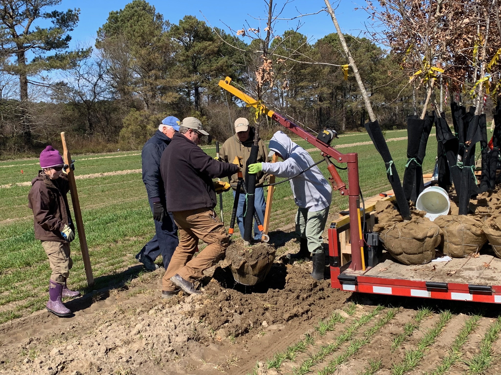 | ||||||||||
| Malvern Hill (FY17) | Historic Area Preservation | FY17 | 471 | Henrico County | Virginia Department of Historic Resources/Henrico County | Private | Capital Region Land Conservancy | 37.39928998 | -77.246091 | The Capital Region Land Conservancy received a grant award of $687,500 to assist in the fee simple acquisition of approximately 471 acres in Henrico County containing prime farmland, forested cover with a high level of forest conservation value, roughly 7,000 linear feet of streams, and a portion of the James River-Turkey Island Creek Stream Conservation Unit. The property lies within the core and study area of the 1862 Civil War Battle of Malvern Hill and is listed on the Virginia Landmarks Register and National Register of Historic Places, primarily for the archaeological and architectural significance of the brick ruins of the late 17th century manor house present during the 1862 battle, but burned in a 1905 fire. Union Army Commander George B. McClellan also occupied this house as his headquarters and signal station during the Battle of Malvern Hill. Malvern Hill also witnessed the encampment of General Marquis D. Lafayette in 1781 as well as the Virginia Militia during the War of 1812. A 12-acre portion of the property is being developed for use as a canoe/kayak launch into Turkey Island Creek, which will not only provide public access to this estuary of the James River, but also to the adjacent Virginia Capital Trail, Presquile National Wildlife Refuge, and Captain John Smith Chesapeake National Historic Trail. https://www.dhr.virginia.gov/historic-registers/043-0008/ https://www.vof.org/2020/08/15/turkey-island-creek-henrico-county/ |
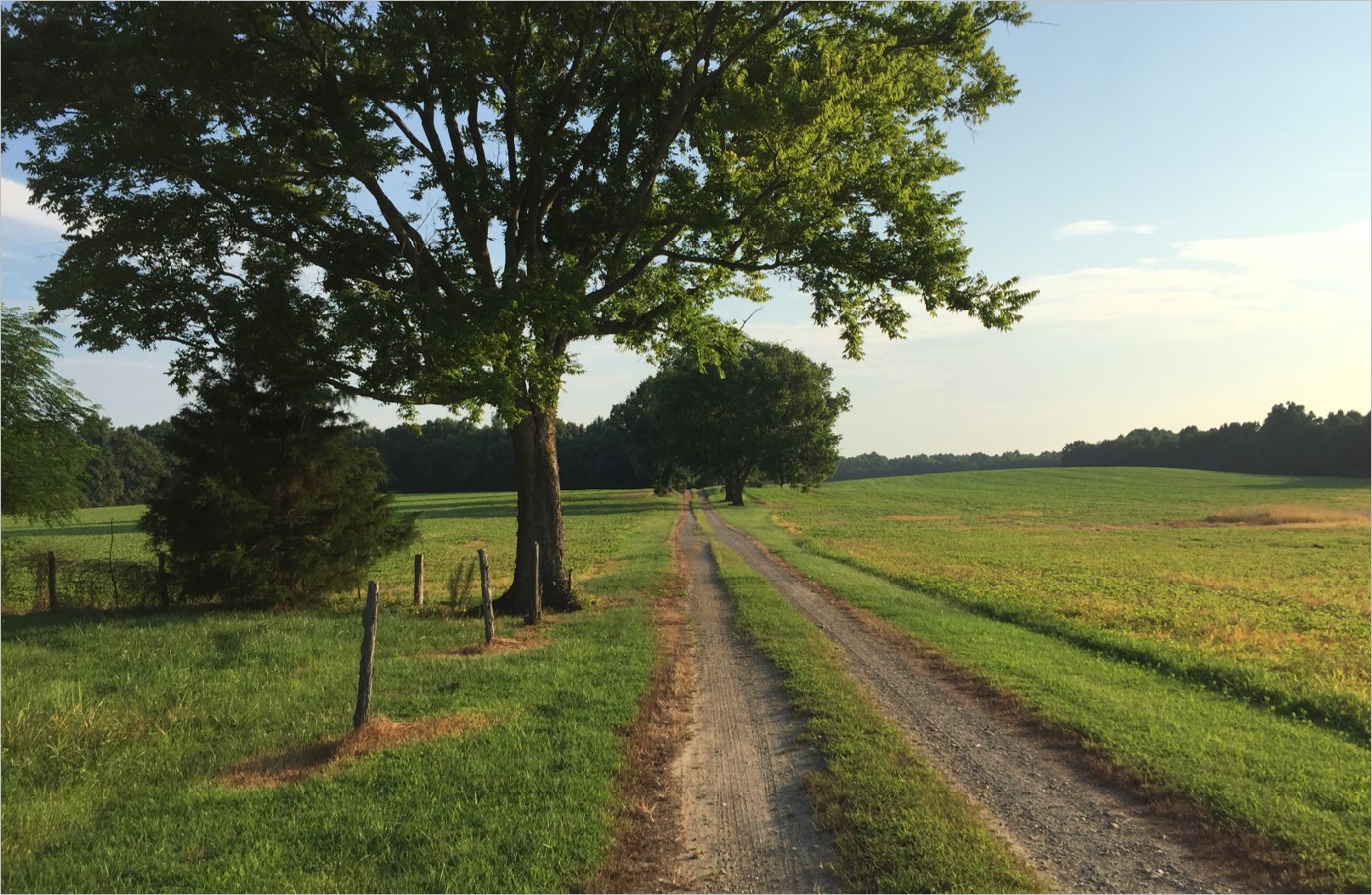 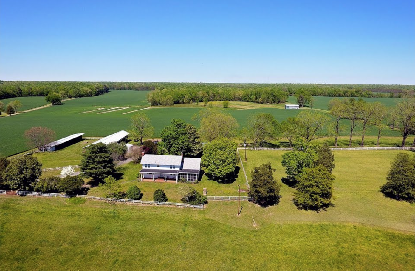 | ||||||||||
| Malvern Hill Farm (FY18) | Historic Area Preservation | FY18 | 471 | Henrico County | Virginia Department of Historic Resources/Henrico County | Private | Capital Region Land Conservancy | 37.39946686 | -77.246351 | The Capital Region Land Conservancy (CRLC) was awarded additional VLCF funds of $141,482 to contribute to the fee simple acquisition of approximately 471 acres in Henrico County. These additional funds assisted with costs resulting from due diligence, survey, and title review related to the acquisition of the property. https://www.dhr.virginia.gov/historic-registers/043-0008/ |
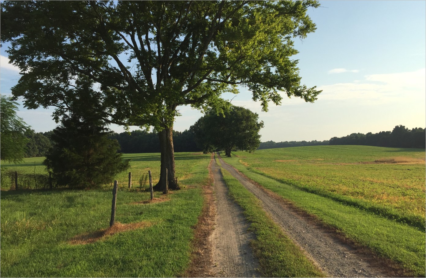 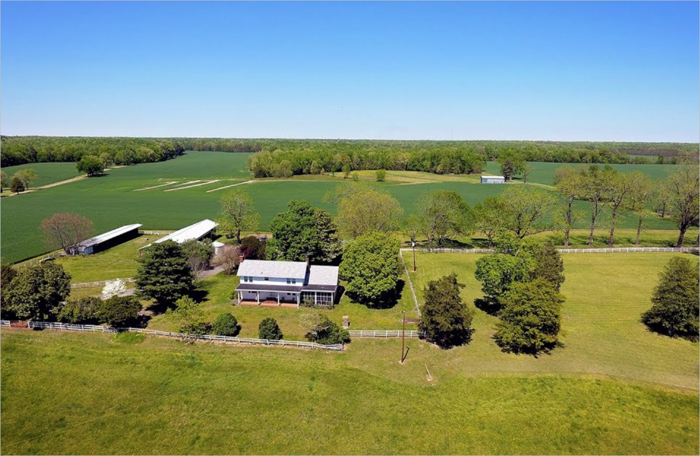 | ||||||||||
| Marks and Jacks Islands | Natural Area Preservation | FY05 | 2000 | Accomack County | Virginia Department of Conservation and Recreation | Private | The Nature Conservancy | 37.81496986 | -75.703565 | A $500,000 grant was awarded to The Nature Conservancy for the acquisition of 2,000 acres in Accomack County. This globally significant conservation area contains primarily intertidal emergent salt marsh, scattered maritime forest, and over two-miles of beach habitat. https://www.dcr.virginia.gov/natural-heritage/natural-area-preserves/markjack |
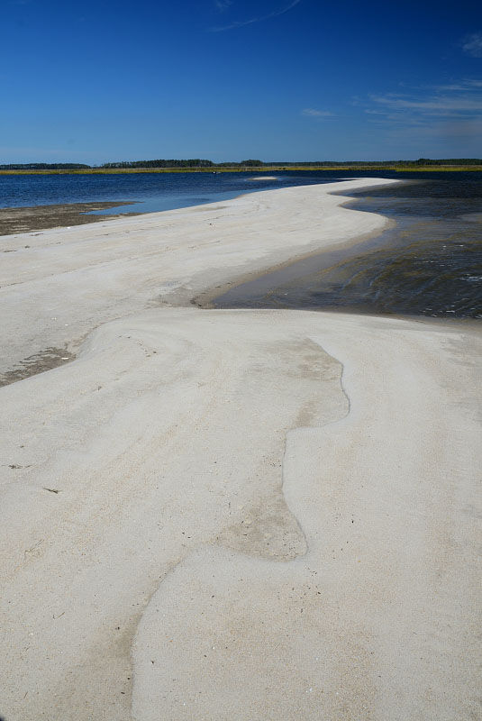 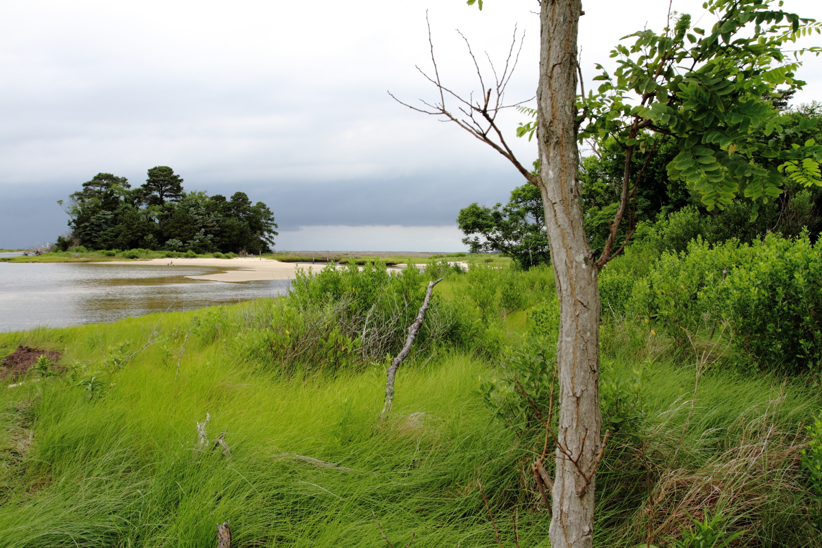 | ||||||||||
| Marlboro Angus | Farmland Preservation | FY07 | 151 | Frederick County | Virginia Outdoors Foundation/Potomac Conservancy | Private | Potomac Conservancy | 39.08577659 | -78.329054 | The Potomac Conservancy received a grant award for $250,000 to record a conservation easement on the Snapp Farm, a 151-acre working farm on Cedar Creek near Marlboro in Frederick County. The Snapp Farm raises Angus beef cattle and replacement heifers. Mr. Snapp is actively engaged in conservation projects on his farm and uses streambank fencing, off-stream watering, and rotational grazing. The easement protects vital farmland in a rapidly developing region, protects riparian land, and helps to continue a strong agricultural tradition in Frederick County. |
| Marshland on the Mattaponi River | Open Spaces and Parks | FY24 | 482 | King William County | Virginia Department of Wildlife Resources | Private | Wildlife Foundation of Virginia | 37.557039 | -76.786529 | The Wildlife Foundation of Virginia proposes to acquire in fee 482 acres of marshland on the Mattaponi River in the Town of West Point. In addition to perpetual protection of a magnificent viewshed, the marsh provides water quality improvement, floodplain and flooding resilience, and permanent protection of habitat suitable to support wildlife resources, including several species of greatest concern as outlined in the Virginia Wildlife Action Plan. The property also provides protection of habitat for many state tier two species, including game species (American black duck). Partners on this acquisition include Ducks Unlimited, the Department of Wildlife Resources (who will hold an open-space easement on the property), the US Fish and Wildlife Service and the property owner. |
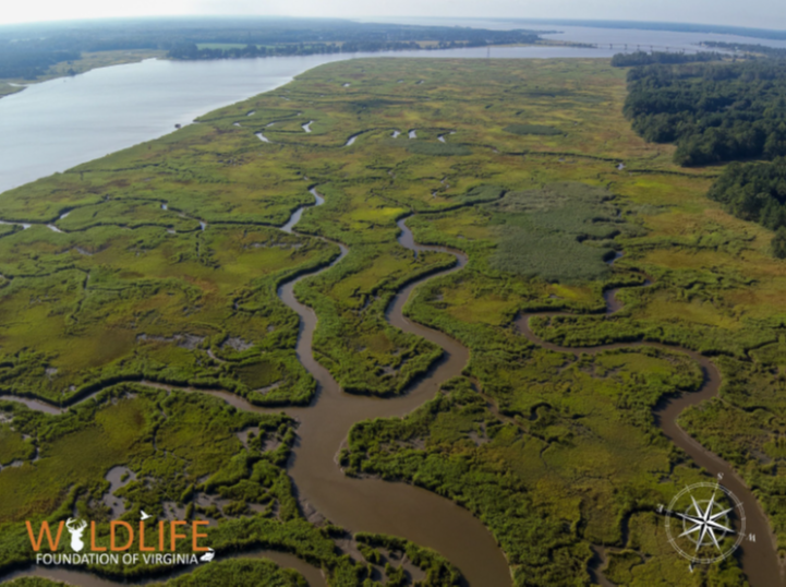 | ||||||||||
| Mary B. Stratton Estate | Open Spaces and Parks | FY01 | 154 | Chesterfield County | Virginia Department of Conservation and Recreation | Local | Virginia Department of Conservation and Recreation | 37.44727457 | -77.501246 | A $75,000 grant was awarded to facilitate the acquisition of 154 acres of the Mary Stratton Estate Property from Ferrum College. The property is owned by DCR and developed and managed by Chesterfield County for outdoor recreation opportunities. Ferrum College agreed to transfer the property for its holding costs of $150,000 to DCR as the next entity in line in the will. The matching costs of $75,000 for this grant came from the county. https://www.chesterfield.gov/facilities/facility/details/Mary-B-Stratton-Park-57 |
| Mauller Tract at Second Manassas Battlefield | Historic Area Preservation | FY23 | 3.11 | Prince William County | Virginia Board of Historic Resources | Private | American Battlefield Trust | 38.828089 | -77.548674 | The American Battlefield Trust seeks to preserve the three-acre Mauller Tract near Manassas in Prince William County via fee acquisition and the recordation of a historic preservation and open-space easement to be held by the Virginia Board of Historic Resources. The tract is located entirely within the Core Area of the Second Manassas Battlefield and is improved with a small single-family residence and two outbuildings. The property is mostly open with scattered trees and includes 423 feet of unnamed intermittent stream bed. The Trust intends to restore the tract to a natural state by demolishing the existing structures and offer periodic tours. |
  | ||||||||||
| Mayo Island | Open Spaces and Parks | FY23 | 14.50 | City of Richmond | Capital Region Land Conservancy | Private | Capital Region Land Conservancy | 37.529320 | -77.433245 | Capital Region Land Conservancy seeks $2 million from VLCF to purchase the 14-acre Mayo Island property, located in the James River in Richmond. Since the 1980s, the City has sought this property for a park. CRLC has negotiated a purchase agreement with the owners and satisfied many of the contingences that previously were hurdles. Combined funding between the Community Flood Preparedness Fund, VLCF, and the State Clean Water Revolving Loan Fund will allow this most important component of the Richmond Riverfront Plan to be completed. Together, these funding sources will leverage a significant investment into the outdoor recreation economy in downtown Richmond. |
 | ||||||||||
| McAfee Knob/Carter Land | Open Spaces and Parks | FY00 | 72 | Botetourt County | Appalachian Trail Conservancy | 37.40453519 | -80.006978 | A $43,800 grant was awarded to the Appalachian Trail Conservancy to acquire 72 acres adjacent to the Appalachian Trail. This property at McAfee's Knob is one of the most popular views of Catawba and the Roanoke Valley. | ||
   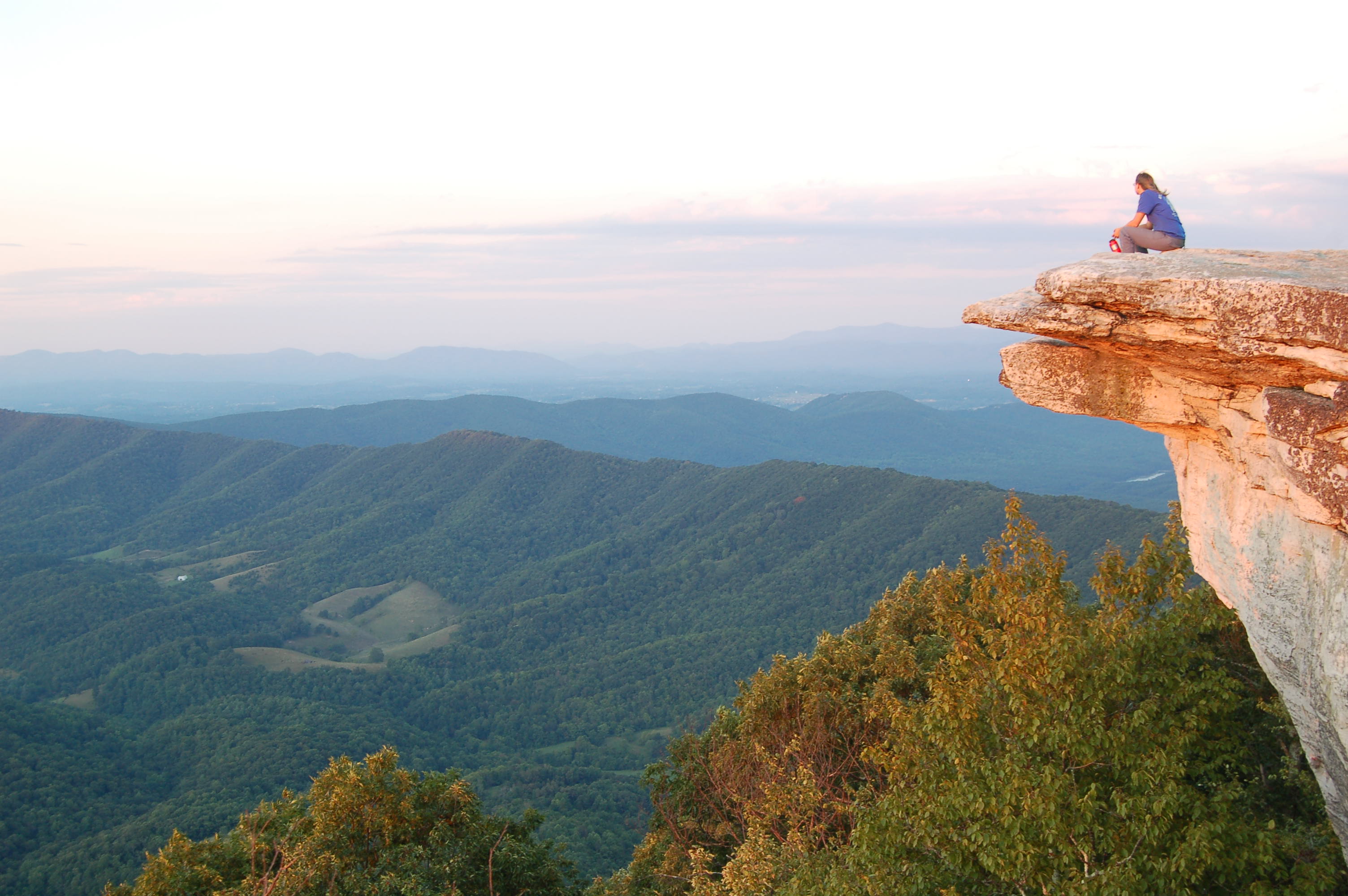 | ||||||||||
| McClevey Farm | Farmland Preservation | FY18 | 83 | Stafford County | Stafford County | 38.48679794 | -77.364583 | This grant award of $146,205 funded partial purchase of a conservation easement on the McClevey Farm, 83 acres of farm and forest land in Stafford County. The property was identified as a priority parcel for conservation by the Readiness and Environmental Protection Integration program due to its close proximity to Marine Corps Base Quantico. The conservation easement is held by Stafford County and the Dept. of the Navy. Water quality on the property is protected with approximately 7,900 linear feet of permanent vegetative buffer along perennial and intermittent streams and wetland. | ||
   | ||||||||||
| McThenia | Open Spaces and Parks | FY20 | 39.07 | City of Lexington | Virginia Outdoors Foundation | Private | Virginia Outdoors Foundation | 37.789889 | -79.420829 | The Virginia Outdoors Foundation received a $180,000 VLCF grant that helped to purchase an easement on 39 acres to allow public access along a trail to the Maury River. The property fronts the Maury for over 5,700 feet and has a natural beach-like area at the foot of the trail. It is across the river from the Chessie Trail, which is heavily used by the community and links Lexington to the Buena Vista area. The bluffs are also visible from State Route 631, which is part of U.S. Bike Route 76. The river at this location is a designated blueway and provides habitat for several endangered mollusk species. The entire property lies within the Lexington Barrens and Bluffs conservation site because of the limestone cliffs, sinkholes and barrens, and it also contains areas where a rare plant, the ThreeFlower melic grass (Melica nitens), has been found. The property contains several sinkholes that serve to capture most of the surface-water runoff in the upland portion of the property. |
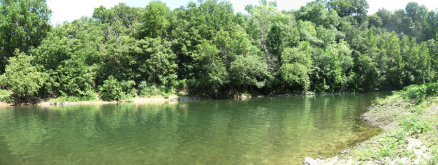   | ||||||||||
| Meadow Grove Farm | Farmland Preservation | FY06 | 346 | Rappahannock County | VOF/Rappahannock County | Private | Piedmont Environmental Council | 38.67969346 | -78.081114 | A grant award of $300,000 was made to the Piedmont Environmental Council to help preserve the Massie Family Farm (Meadow Grove Farm) in Rappahannock County raising 200 head of livestock and growing feed for livestock. This is a sixth-generation farm on the scenic corridor of the Shenandoah National Park. The conservation easement protects at least one mile of Battle Run, a tributary within the Rappahannock River watershed. The farm is eligible for inclusion in the Virginia Landmarks Register and the National Register of Historic Places. |
| Memorial Drive Recreation Area | Open Spaces and Parks | FY23 | 6.87 | City of Danville | City of Danville, Parks and Recreation Department | Local | City of Danville, Parks and Recreation Department | 36.591010 | -79.394329 | The VLCF funds requested will assist with the purchase of nearly seven acres of a 19-acre tract on Memorial Drive within the city, a property that is individually listed in the Virginia Landmarks Registry (VDHR 108-0123). The Industrial Development Authority has agreed to transfer the property to Danville's Parks and Recreation Department for $3 million to repurpose and develop a Memorial Drive Recreation Area. Recreational repurpose of the site will include unique amenities open for year-round public access and scenic views. The site contains an 1816 waterpower canal that will be repurposed for a recreation amenity for rafters and kayakers as well as a training facility for professional swift water rescue teams. On the northern edge of the property is a covered 925-foot-long pedestrian bridge that spans the Dan River built in 1920. This bridge will serve as a connector to the city's trail system on the south side of Virginia's Scenic Dan River to the north side trail system (a statewide connecting trail). |
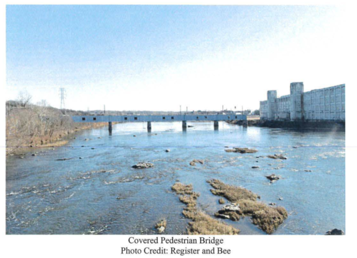 | ||||||||||
| Merrimac Farm | Open Spaces and Parks | FY07 | 301.76 | Prince William County | Virginia Department of Game and Inland Fisheries | State | Prince William Conservation Alliance | 38.62690444 | -77.540099 | Prince William Conservation Alliance was awarded $820,773 to provide a natural area for public use and passive recreation, environmental education, enjoyment of diverse wildlife, fishing and possible continued use of the land for hunting on a 302-acre farm located near Quantico Marine Base. The property, which is registered with the National Registry of Historic Sites 44-PW-0066, has a 115-acre floodplain parallel to Cedar Run that is a designated jurisdictional wetland. The site also contains suitable habitat for Small Whorled Pogonia (the rarest species of American orchid)and provides a buffer for one mile along the northern border of Cedar Run with over 100 acres of contiguous forested wetlands adjacent to Cedar Run. |
| Messick Farm PDR | Farmland Preservation | FY13 | 408.31 | Fauquier County | Fauquier County | Private | Fauquier County Purchase of Development Rights Program | 38.50968901 | -77.788851 | The Fauquier County Purchase of Development Rights Program was awarded a grant of $100,000 for the purchase of a conservation easement on 408 acres in Fauquier County on the O.B. Messick and Sons dairy farm in Remington. Crops are grown on a portion of the property while the remainder is used for pasture for the dairy cows. The Messick Farm borders eight properties under easement, seven of which are under the Fauquier County PDR Program. In protecting the Messick Farm, a total of 1,605 contiguous acres are now protected through conservation easements. In addition, the farm property borders approximately 0.5 miles of the Rappahannock River on the west side where fencing has been constructed along the entire length to preserve the integrity of the river. |
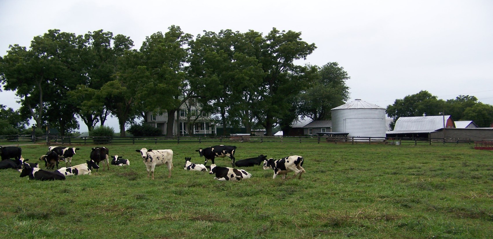   | ||||||||||
| Mill Creek Springs Natural Area Preserve Expansion (withdrawn) | Natural Area Preservation | FY23 | 318.00 | Montgomery County | Virginia Department of Conservation & Recreation - Division of Natural Heritage | State | Virginia Department of Conservation & Recreation - Division of Natural Heritage | 37.282415 | -80.345390 | DCR’s Natural Heritage Division received $665,140 in funding from VLCF to support the fee-simple purchase of a key addition to Mill Creek Springs Natural Area Preserve (MCSNAP) in Montgomery County. This tract, 318 acres, would have enhanced DCR’s ability to protect additional natural heritage resources, key ecological buffers for the existing Preserve, and prevent incompatible development activities that could result from an imminent sale. The property supports karst topography, including sinkholes, cave entrances, and sinking streams that are linked to the significant cave and karst related resources on MCSNAP. The subject parcel also supports the one of Virginia’s best example of the Appalachian Sugar Maple - Chinquapin Oak Dry Calcareous Forest. This project was withdrawn. |
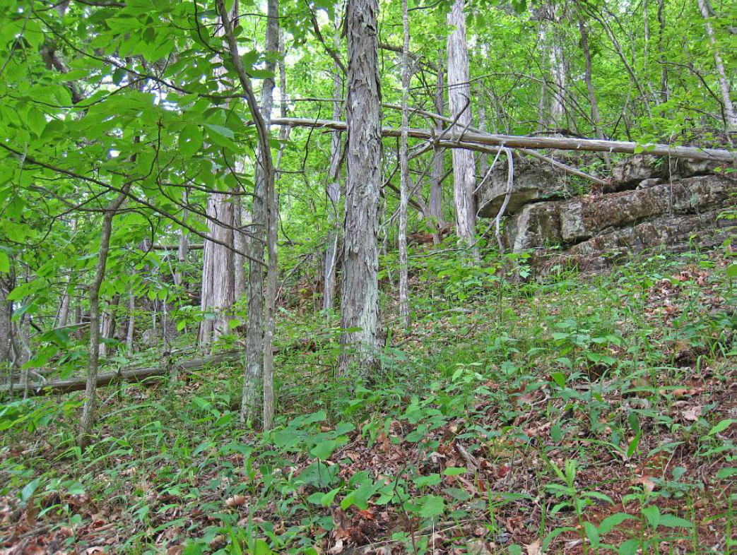 | ||||||||||
| Milton Easement, Pedlar Hills Glades addition | Natural Area Preservation | FY12 | 257 | Montgomery County | Virginia Outdoors Foundation/Virginia Department of Conservation and Recreation | Private | Virginia Outdoors Foundation | 37.20122567 | -80.273452 | The Virginia Outdoors Foundation was awarded a VLCF grant of $145,462 to purchase a 257-acre conservation easement on this property. The site is part of a B1 globally significant natural heritage conservation site and within functional proximity to existing protected lands held by DCR and The Nature Conservancy. https://www.dcr.virginia.gov/natural-heritage/natural-area-preserves/pedlar |
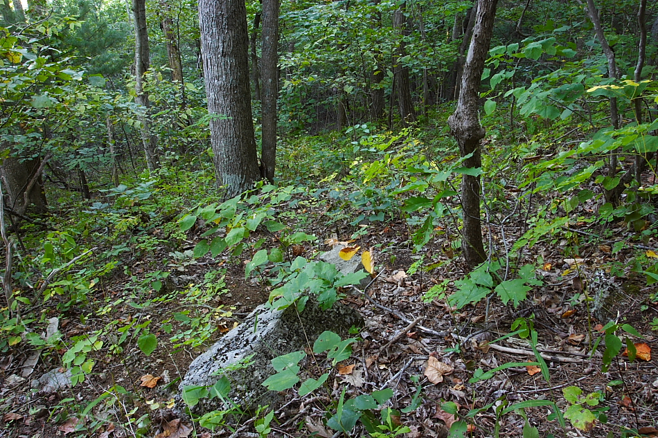  | ||||||||||
| Milton Farm Phase 2 | Natural Area Preservation | FY13 | 145 | Montgomery County | Virginia Outdoors Foundation/Virginia Department of Conservation and Recreation | Private | Virginia Outdoors Foundation | 37.19588822 | -80.273588 | The Virginia Outdoors Foundation (VOF) utilized a VLCF grant to purchase an open-space easement and natural area preserve dedication with the Department of Conservation and Recreation on 145 acres of privately owned land in Montgomery County. This project was given a grant award of $169,250, and was the second phase of a two phase project to project rare species and significant natural communities in the Pedler Hills region of Montgomery County. Like the first phase of this project, the easement protects habitat for several rare plant species, and includes a significant Ridge and Valley dolomite woodland natural community. The property adjoins a 257-acre tract (Milton Phase One) that was protected through an open-space easement and deed of natural area preserve dedication recorded in October of 2012. This project also protects open space values of Montgomery County as the forested hillsides on the property, viewed daily by the thousands of travelers on the I-81 corridor adjacent to this property, will remain forever in a forested condition. |
  | ||||||||||
| Monacan Indian Nation - Daisy Adcock Property | Forestland Preservation | FY25 | 100.40 | Amherst County | Monacan Indian Nation | Tribe | Monacan Indian Nation | 37.575421 | -79.130257 | The Monacan Indian Nation is a federally recognized tribe with over 2,600 citizens. Bear Mountain in Amherst County has been the home of the Monacan people for more than 10,000 years and remains the cultural hub of their community. This project would allow the Monacan Indian Nation to acquire and protect 100.4 forested acres of their historic homeland, adjacent to the Monacan Museum and Culture Center. The subject property contains an Outstanding Forest Conservation Value hardwood forest, and the Monacan Indian Nation is committed to the responsible stewardship of their lands, protecting and managing their natural resources sustainably, while honoring the deep spiritual connection their people have with the land. |
  | ||||||||||
| Montpelier - Home of James Madison | Historic Area Preservation | FY07 | 716 | Orange County | Piedmont Environmental Council | 38.23144879 | -78.183412 | The grant award of $700,000 to Piedmont Environmental Council helped to purchase an easement on 716 acres of forested and open-space land surrounding the historic core of James Madison's Montpelier estate in Orange County. The property includes the home of George Gilmore, an African-American slave owned by the Madison family and emancipated after the Civil War, as well as important archeological and historical resources associated with Civil War operations. The National Trust and the Montpelier Foundation will developed interpretive trail and active recreation opportunities for the visiting public. https://www.nps.gov/places/the-gilmore-cabin-at-james-madison-s-montpelier.htm | ||
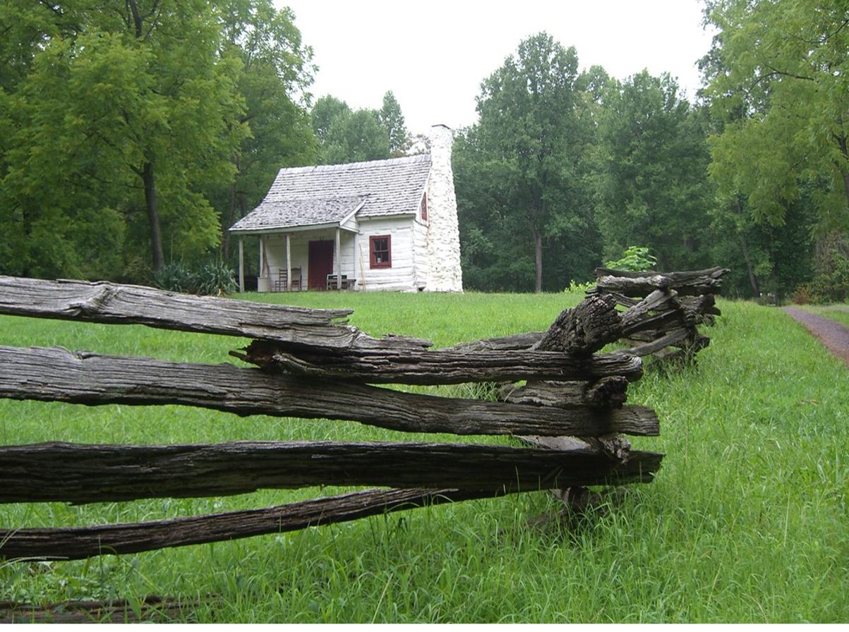 | ||||||||||
| Moore and Dorsey - Bell and Johnson Tracts | Farmland Preservation | FY12 | 148 | Clarke County | Clarke County Easement Authority | Private | Clarke County Easement Authority | 39.16423973 | -77.934784 | The grant award of $80,000 to Clarke County Easement Authority assisted in the purchase of a conservation easement on 148 acres of farmland. Moore and Dorsey, Inc. had owned this property for more than 50 years. This farm (and an additional 800 acres owned by Moore and Dorsey) was a viable apple orchard until recently when it was converted to a landscape nursery. This property is within the Long Marsh Rural Historic District and the easement includes the protection of two historic structures contributing to that district. Matching funds for the project included NRCS Farm and Ranchland Protection program; landowner donation; Virginia Department of Agriculture and Consumer Services; Clarke County PDR program; and Piedmont Environmental Council land preservation trust. |
  | ||||||||||
| Moores Creek Land Acquisition | Open Spaces and Parks | FY23 | 8.60 | City of Charlottesville | City of Charlottesville | Local | City of Charlottesville | 38.009665 | -78.515196 | The City of Charlottesville has acquired this 8.6-acre parcel of land for a Park, open daily. The property is across Moores Creek from Azalea Park, and this purchase protects the site from development, thus retaining the scenic view of open space/natural area from Azalea Park. The property also helps complete the greenbelt around the City as a buffer from County development. The property has been used as a community garden, and the City will work to continue that use as well as incorporating a bicycle pump track and trails and bridges on the property. Plans are also in place along Moores Creek for stream restoration, improved public fishing and swimming access, and wildlife viewing. |
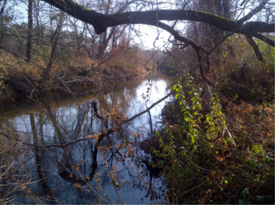 | ||||||||||
| Morse Brothers Farm (withdrawn) | Farmland Preservation | FY21 Round 2 | 106 | Nelson County | Virginia Outdoors Foundation | Private | Virginia Outdoors Foundation | 37.661073 | -78.903786 | Zachary and Daryl Morse, brothers and third-generation African American farmers in Nelson County, received VLCF funding to place a conservation easement over 106 acres of farmland. They planned an agricultural enterprise combining cattle and hay production with a small vineyard and an event barn to draw people from the Capital region who would not normally have the opportunity to visit a working farm. They envisioned a retreat that welcomed families to a venue where they could enjoy a day in the country, picnic and walk along a trail system highlighting the streams and views of nearby Turner Mountain. This project was withdrawn. |
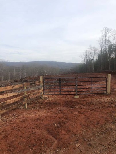 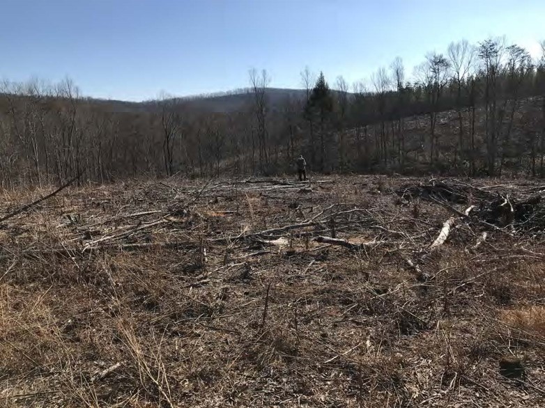 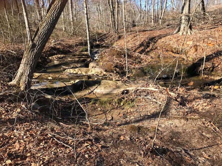 | ||||||||||
| Mount Joy Pond NAP Addition (withdrawn) | Natural Area Preservation | FY18 | 85 | Augusta County | Virginia Department of Conservation and Recreation | 37.9433532 | -79.149693 | DCR's Natural Heritage Program received a grant award of $316,400 to purchase in fee approximately 88 acres in Augusta County as an addition to the Mount Joy Ponds Natural Area Preserve. This project would improve resiliency of one of the world's best examples of a Shenandoah Valley sinkhole pond, populations of at least six significantly rare plants (including two federally threatened species), and a population of the state endangered Tiger Salamander. The tract would also protect forests of "high conservation value" and part of a large block of intact forested cover (mapped as one of Virginia's "outstanding ecological cores," along with approximately 4,225 feet of streams. The tract would build connectivity to the adjacent George Washington National Forest, most of which has been designated as "Special Biological Area" in recognition of the biodiversity significance. Protecting the subject tract will provide hydrological and management buffer to support continued fire management on the existing Natural Area Preserve. This project was withdrawn. | ||
| Mount Pleasant Farm | Open Spaces and Parks | FY05 | 106 | Shenandoah County | Virginia Outdoors Foundation/Potomac Conservancy | Private | Potomac Conservancy | 39.04170528 | -78.373599 | A $100,000 grant was awarded to the Potomac Conservancy to purchase a conservation easement on Mount Pleasant Farm, an historic 106-acre property on Cedar Creek in Shenandoah County. The conservation easement protects vital open space in a rapidly developing region; preserves battlefield land within the Cedar Creek Battlefield; provides a visual buffer on the boundary of Cedar Creek and Bell Grove National Historical Park; permanently protects three quarters of a mile of critical restored riparian land and habitat along Cedar Creek; and helps to continue the strong agricultural tradition in the Shenandoah Valley. |
| Nelson Tract (withdrawn) | Open Spaces and Parks | FY09 | 177 | Smyth County | Appalachian Trail Conservancy | 36.95785194 | -81.389998 | Appalachian Trail Conservancy received a grant award of $150,000 for the fee-simple acquisition of 177 acres to expand a narrow corridor for the Appalachian Trail (AT) between Route 610 and Walker Mountain within the George Jefferson National Forest in Smyth and Bland Counties. One hundred and seven acres of the Nelson tract have been actively grazed for the last ten years; the remaining seventy acres are forested. A portion of the 177-acre parcel has a right-of-way easement on it for the AT. The acquisition will help ensure the scenic value of the AT.This project was withdrawn. | ||
| New River - Connector Parcel | Open Spaces and Parks | FY15 | 11.93 | Pulaski County | Pulaski County | Local | Pulaski County | 37.13769198 | -80.579172 | Pulaski County requested funding assistance to acquire 11.93 acres near the City of Radford. The primary purpose for the acquisition is to provide public access for canoeing and fishing and to allow for the construction of a recreational trail from the Old Riverlawn Elementary School, to the community of Fairlawn, the New River (an American Heritage River), and ultimately Bissett Park. The 1.5 mile trail will utilize the existing bridge piers from Radford's Battle of New River Bridge, which is one of 388 sites included on Virginia's Civil War Trail. A marker documenting the history of this battle is located on the Bisset Park side of the New River. Future plans would include a walking history of the Battle.Pulaski received a grant award of $125,000 for this project. https://www.virginia.org/listing/riverway-trail/7542/ |
| New River Hill Park | Open Spaces and Parks | FY23 | 82.00 | Grayson County | New River Soil and Water Conservation District | New River Soil and Water Conservation District | 36.662321 | -81.013969 | New River Soil and Water Conservation District is requesting funding to purchase 82 acres in Grayson County to create New River Hill Park. The project borders the New River, an American Heritage River and will protect water quality along its 4,800 feet of streams and the diverse habitat of the area. This project will protect approximately 1,700 feet from ridgetop development and protect the scenic viewshed for river users and those traversing the New River Blueway. The planned New River Hill Park will provide a natural area for public use and passive recreation, hiking, biking, environmental education, enjoyment of diverse wildlife, fishing and water activities. | |
  | ||||||||||
| Newfound Farm | Forestland Preservation | FY23 | 60 | Clarke County | Clarke County | Local | Clarke County | 39.170632 | -78.078434 | Clarke County Conservation Easement Authority was able to acquire a conservation easement on 60 acres of primarily forested land in Clarke County with more than ½ mile of frontage on Opequon Creek, a designated impaired waterway. The dominant forest stand on the property is oak/hickory. The primary forestlands, which encompass 95% of the property, have now been preserved. Forested riparian buffers of 100 feet in width along Opequon Creek help protect water quality in this important waterway. Historically, the parcel is adjacent to the 3rd Battle of Winchester and the property played a significant role in the Civil War during the Battles of Winchester and Opequon Creek. |
  | ||||||||||
| Noland PDR Project | Farmland Preservation | FY12 | 168.5 | Fauquier County | Fauquier County | Private | Fauquier County Purchase of Development Rights Program | 38.6701598 | -77.658177 | Fauquier County PDR Program received a grant award of $52,047 for the purchase of a conservation easement on 168.5 acres of farmland. The Noland Farm is a working cattle and hay farm. The family previously operated a dairy on this farm for over 40 years, and currently leases and farms adjacent farmland. The farm is adjacent to three other protected farms and the 271-acre state-owned Weston Wildlife Management Area. Conservation of the Noland Farm resulted in a contiguous block of 1,500 acres of farmland protected through the Fauquier County PDR program. |
   | ||||||||||
| North Landing River Sawgrass Marsh Project (withdrawn) | Natural Area Preservation | FY17 | 1506.72 | City of Virginia Beach | The Nature Conservancy and the Virginia Department of Conservation and Recreation | The Nature Conservancy | 36.57021389 | -76.059872 | The Nature Conservancy (TNC) received a grant award of $150,000 to assist with the purchase of an easement on approximately 1,275 acres of wetlands on the North Landing River within the city of Virginia Beach. This project will close the last unprotected gap along more than thirteen miles on the western side of the river. Since the earliest days of the Natural Heritage Program, this watery landscape - which is home to four globally rare natural communities and more than a dozen rare plant and animal species - has been a target for conservation by both TNC and DCR. The property has approximately 700 acres of open marsh and 575 acres of tidal cypress/water tupelo swamp. The easement will be held jointly by TNC and DCR and will be dedicated as part of North Landing River Natural Area Preserve. This project was withdrawn. | |
| North Meadow/Carr Property | Historic Area Preservation | FY01 | 125 | Loudoun County | Virginia Department of Historic Resources/Loudoun County | Private | Waterford Foundation | 39.18548004 | -77.600099 | A $187,042 grant was awarded to the Waterford Foundation for assistance with the costs associated with reducing development density on two tracts within the boundaries of the National Historic Landmark - The North Meadow and the Carr Properties. The Foundation purchased both tracts, which are now held as privately-owned residential lots subject to easements. The easements reduced the density of development so as not to threaten the integrity of the historic landmark. |
  | ||||||||||
| Nottoway 186 | Farmland Preservation | FY24 | 186 | Southampton County | Virginia Outdoors Foundation | Private | Virginia Outdoors Foundation | 36.756197 | -77.119849 | Virginia Outdoors Foundation (VOF) is seeking to place an easement on a 186-acre farm in Southampton County with land in agricultural and forest use, wetlands, and more than 3,000 feet of frontage on the state scenic Nottoway River. The farm contains two center pivot irrigation installations as well as hydrants for rolling reel irrigation devices, which enable irrigation on nearly all of the fields. The property also contains working pine forest and old-growth Cypress and mixed hardwood stands along the river. The property is listed in six ConserveVirginia categories: Agriculture and Forestry, Natural Habitat and Ecosystem Diversity, Floodplains and Flooding Resilience, Cultural and Historic Preservation, Scenic Preservation, and Water Quality Improvement. There are five species of conservation concern per DWR’s Wildlife Information Service. This property is located 1,000 feet from an 854-acre DOF-held conserved tract and is adjacent to a 235-acre tract funded with NAWCA funds for conservation by VOF with closing expected by end of 2023. |
   | ||||||||||
| Nottoway River Wildlife and Recreation Area (FY21 Round 2) | Open Spaces and Parks | FY21 Round 2 | 1,597 | Sussex County | The Conservation Fund | Private | The Conservation Fund | 36.985956 | -77.292071 | With the help of a grant from VLCF, this 1,597 acre property in Sussex County provides public access to the Nottoway River and protect land for hunting, fishing, hiking, and wildlife watching. The property contains nearly 2.5 miles of frontage on the Nottoway River, a designated Virginia Scenic River and 2.5 miles of Black Branch Swamp. There are more than 220 acres of forested wetlands and more than 400 acres of bottomland hardwoods. The Conservation Fund worked with the Virginia Department of Wildlife Resources (DWR) to acquire this property for the creation of a new Wildlife Management Area. Over 90 percent of the property is identified as a priority in ConserveVirginia, with rankings in three different categories: Agriculture and Forestry, Natural Habitat and Ecosystem Diversity, and Scenic. The property will be restored to native longleaf pine and hardwoods to better support water quality and habitat for endangered species, such as the federally threatened Red-cockaded woodpecker. Federally endangered Roanoke logperch (Percina rex) and Dwarf wedgemussel (Alasmidonta heterodon) are found in this section of the Nottoway. |
   | ||||||||||
| Nottoway River Wildlife and Recreation Area II (FY23) | Forestland Preservation | FY23 | 1597 | Sussex County | Department of Wildlife Resources | State | The Conservation Fund | 36.985960 | -77.292074 | The Conservation Fund (TCF) worked with the Va. Dept. of Wildlife Resources to acquire 1,597 acres in Sussex County for the creation of a new Wildlife Management Area. The property is protected for hunting, fishing, hiking, and wildlife watching, as well as providing public access to the Nottoway River. The property contains 2.5 miles of frontage on the Nottoway River, a designated Virginia Scenic River and 2.5 miles of Black Branch Swamp. There are 220 acres of forested wetlands and 400 acres of bottomland hardwoods. The property will be restored to native longleaf pine and hardwoods to better support water quality and critical habitat for endangered species, such as the federally threatened Red-cockaded woodpecker. This project received a VLCF FY21 Round II grant for $264,500 in the Open Spaces and Parks Category. |
  | ||||||||||
| Oak Hill | Historic Area Preservation | FY25 | 86.00 | Loudoun County | Virginia Board of Historic Resources | Private | The Conservation Fund | 38.996882 | -77.621334 | The Conservation Fund was awarded a grant to purchase and conserve 87 acres of President James Monroe's Oak Hill, a National Historic Landmark, in Loudoun County. Constructed 1822-1823, the main house served as Monroe's residence during part of his presidency and most of his retirement. It is believed that he wrote the Monroe Doctrine while in residence at Oak Hill in 1823. The 87 acres also includes formal gardens, outbuildings, tenant houses, and an agricultural building complex. This property will be purchased from the current landowners and developed as a public park. The property will ultimately be open to the public, to interpret the history of the land and people who lived and worked there, as well as provide opportunities for walking, hiking, and wildlife watching. This project is part of a larger effort to conserve approximately 1,200 acres for historic interpretation and public recreation. The Departments of Conservation and Recreation and Historic Resources are key partners in this project. The Board of Historic Resources will hold an open-space easement on the property. |
 | ||||||||||
| Oaken Brow (withdrawn) | Farmland Preservation | FY06 | 589 | King George County | The Nature Conservancy | 38.17724842 | -77.138378 | A grant award of $600,000 was made to The Nature Conservancy for the purchase of an easement at Oaken Brow in King George County, which consists of 589 acres, including 375 acres of highly productive cropland. In addition, 180 acres are wetland forests and marshland. This is a full time, working family farm raising spinach and other high-value vegetables on irrigated land. Preservation of this property is important in preserving vegetated buffers along Gingoteague Creek and the Rappahannock River. This project was withdrawn. | ||
| Old Growth Blackwater River | Natural Area Preservation | FY07 | 500 | Isle of Wight County | Virginia Department of Conservation and Recreation | Local | The Nature Conservancy | 36.93042149 | -76.833777 | The grant award of $400,000 to The Nature Conservancy was for the fee simple acquisition by Isle of Wight County with TNC holding an easement on 500 acres adjacent to TNC's Blackwater Preserve, Isle of Wight County. Part of a larger 2,500 acre tract of land, this site supports a bald cypress-tupelo swamp, and three rare animals. While the original plan was for TNC to hold the easement, the easement is now held by the Department of Conservation and Recreation (DCR) as part of the Blackwater Sandhills Natural Area Preserve. https://www.dcr.virginia.gov/natural-heritage/natural-area-preserves/blackwatersandhills |
 | ||||||||||
| Over the River and Point Beach | Forestland Preservation | FY22 | 321.64 | Southampton County | Virginia Department of Forestry | Private | Virginia Department of Forestry | 36.563773 | -76.957979 | Two properties along the State Scenic Nottoway River under the same family ownership for almost 100 years were placed under easement with the Department of Forestry. Over the River consists of approximately 300 acres, including 25 acres of Cypress bottomlands and high bluffs overlooking 3,200 feet of river. The property is contiguous to the General Vaughn Wildlife Management Area and contains the historic Smith Ferry landing and roadbed. Remnants of the original ferry crossing dock and road site remain in place today. Point Beach is a 20-acre peninsula of Cypress bottomland with more than one mile of frontage on the Nottoway River, containing ruins of an historic fish camp. Scenic values on the Nottoway, along with the cypress stands will be protected and managed to encourage the long-term health of the stands, improving wildlife habitat. |
 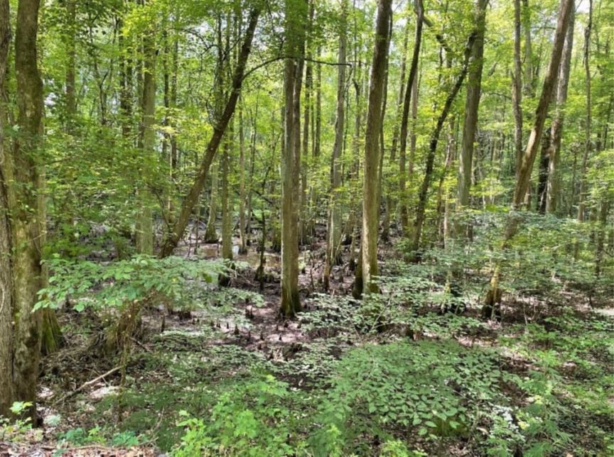 | ||||||||||
| Page Property | Forestland Preservation | FY05 | 558.9 | Albemarle County | Albemarle County | 38.00010568 | -78.652827 | An $85,433 grant was awarded to Albemarle County to purchase the development rights on 559 acres of farm and forest located ten miles southwest of Charlottesville. This property has over 29,000 feet of riparian buffer held in an easement and the tract contains one of Virginia's first carbon sequestration tree planting projects. The property is adjacent to a Virginia Outdoors Foundation open-space easement property. The VLCF Grant was matched by $85,433 from the Albemarle County Acquisition of Conservation Easement program. | ||
| Palmyra Lock and Mill Site | Historic Area Preservation | FY00 | 5 | Fluvanna County | Virginia Department of Historic Resources | Fluvanna County Historical Society | 37.85764428 | -78.26554 | A $6,200 grant was awarded to the Fluvanna County Historical Society to acquire 5 acres of land adjacent to the historic Lock & Mill Site on the Rivanna River. The property provides crucial access to the existing site. | |
| Pamplin Pipe Factory | Historic Area Preservation | FY09 | 3 | Appomattox County | Virginia Department of Historic Resources | Private | The Archaeological Conservancy | 37.26308245 | -78.679591 | A grant of $61,000 was awarded to The Archaeological Conservancy to assist in the purchase of the 2.96 acre Pamplin Pipe Factory property in Appomattox County. The site is listed in the Virginia Landmarks Register and National Register of Historic Places for the archaeological remains of two centuries of clay pipe manufacturing. Following acquisition, the property was placed under a historic preservation easement with the Department of Historic Resources. The property will be open as a museum and the three existing structures interpreted for their importance in the industrial and cultural history of Virginia. https://www.thearchcons.org/visit-pamplin-pipe-factory/ |
| Panamint Farm | Farmland Preservation | FY24 | 533 | Louisa County | Virginia Outdoors Foundation | Private | Virginia Outdoors Foundation | 38.078726 | -77.97895 | Virginia Outdoors Foundation received grant funds for a partial purchase of an easement on Panamint Farm located in Louisa County. The 533-acre cattle farm currently supports pastures and grazing with gently rolling hills throughout with a mixture of open fields and woodland. Gold Mine Creek flows along the western property boundary. There are over 8,800 feet of perennial and intermittent streams with 35- to 50-foot fenced riparian buffers providing habitat and protection for wildlife. The property contains farmland and forest with roughly 200 acres of native Oak Hickory mixed forestlands. |
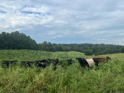  | ||||||||||
| Panamint Farm | Farmland Preservation | FY25 | 533.00 | Louisa County | Virginia Outdoors Foundation | Private | Virginia Outdoors Foundation | 38.078735 | -77.978953 | Virginia Outdoors Foundation was awarded grant funds for a partial purchase of an easement on Panamint Farm located in Louisa County. The 533-acre cattle farm currently supports pastures and grazing with gently rolling hills throughout with a mixture of open fields and woodland. Gold Mine Creek flows along the western property boundary. There are over 8,800 feet of perennial and intermittent streams with 35- to 50-foot fenced riparian buffers providing habitat and protection for wildlife. The property contains farmland and forest with roughly 200 acres of native Oak Hickory mixed forestlands. A grant for $110,300 was awarded to VOF for this project last year. |
 | ||||||||||
| Pappas Tract - Fisher's Hill Battlefield | Historic Area Preservation | FY26 | 110.50 | Shenandoah County | Shenandoah Valley Battlefields Foundation | Private | Shenandoah Valley Battlefields Foundation | -78.383937 | 38.970180 | The 110-acre Pappas Tract is within the Core and Study Area of the Fisher's Hill Battlefield and includes portions in the Cedar Creek Battlefield Study Area. This forested property is in Shenandoah County contains earthworks constructed during the Civil War. There are 9,080 feet of streams on the property that will be protected with 100-foot forested riparian buffers. The project will allow for increased public access to the property and provide parking and walking trails. The project will preserve land at the Fisher's Hill Battlefield and allow for daily access allowing visitors to explore the landscape and terrain and Civil War earthworks with proper interpretation. The Shenandoah Valley Battlefields Foundation received a $310,316 VLCF grant for the protection of this property. |
  | ||||||||||
| Paradise Creek (FY06) | Open Spaces and Parks | FY06 | 18.5 | City of Portsmouth | City of Portsmouth | Local | Elizabeth River Project | 36.7999074 | -76.307611 | Grant funds of $500,000 were awarded to the Elizabeth River Project to acquire 18.5 acres along Paradise Creek in the City of Portsmouth for the creation of a 40-acre urban public park. The proposed park site is the last large area of open space available for park development along Paradise Creek and will provide the only public access point to the creek. Canoe and kayak launching, trails, and picnic shelters will be made available for public use and 650 linear feet of shoreline will be protected. |
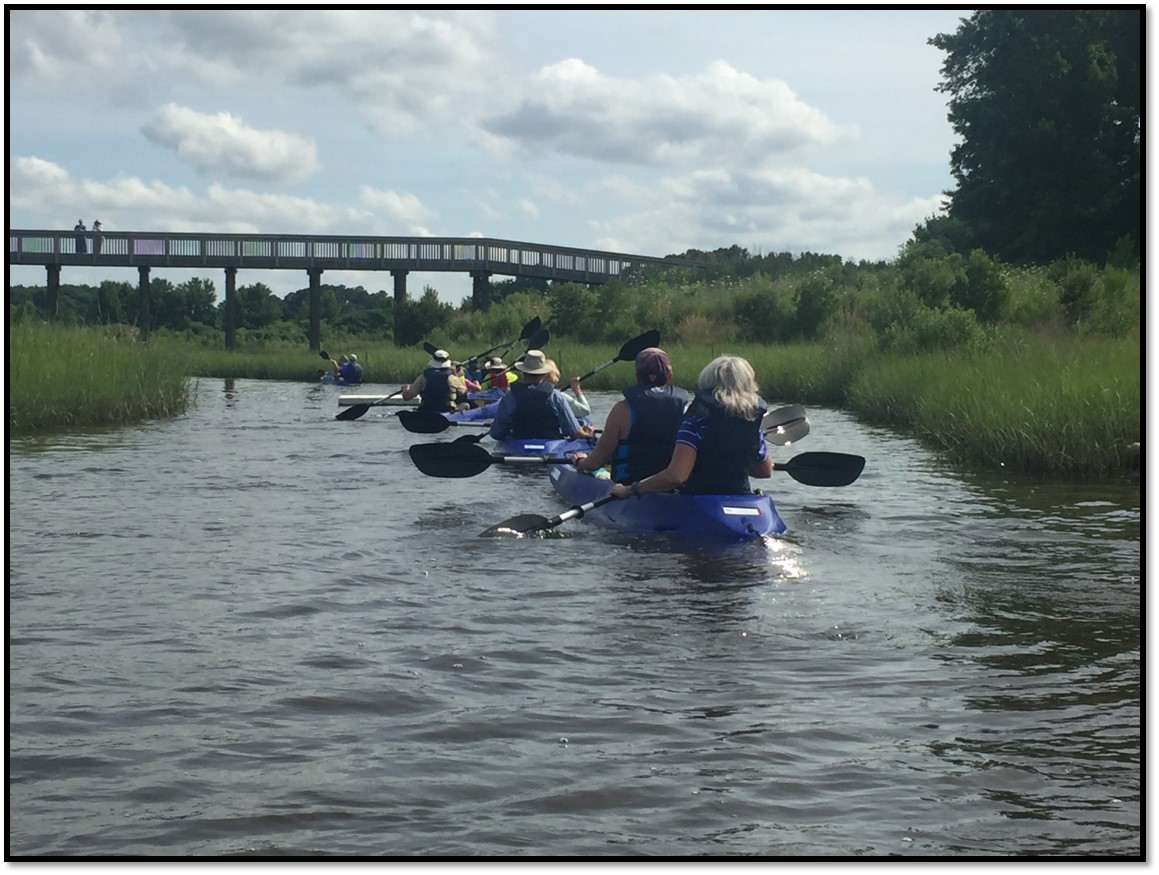 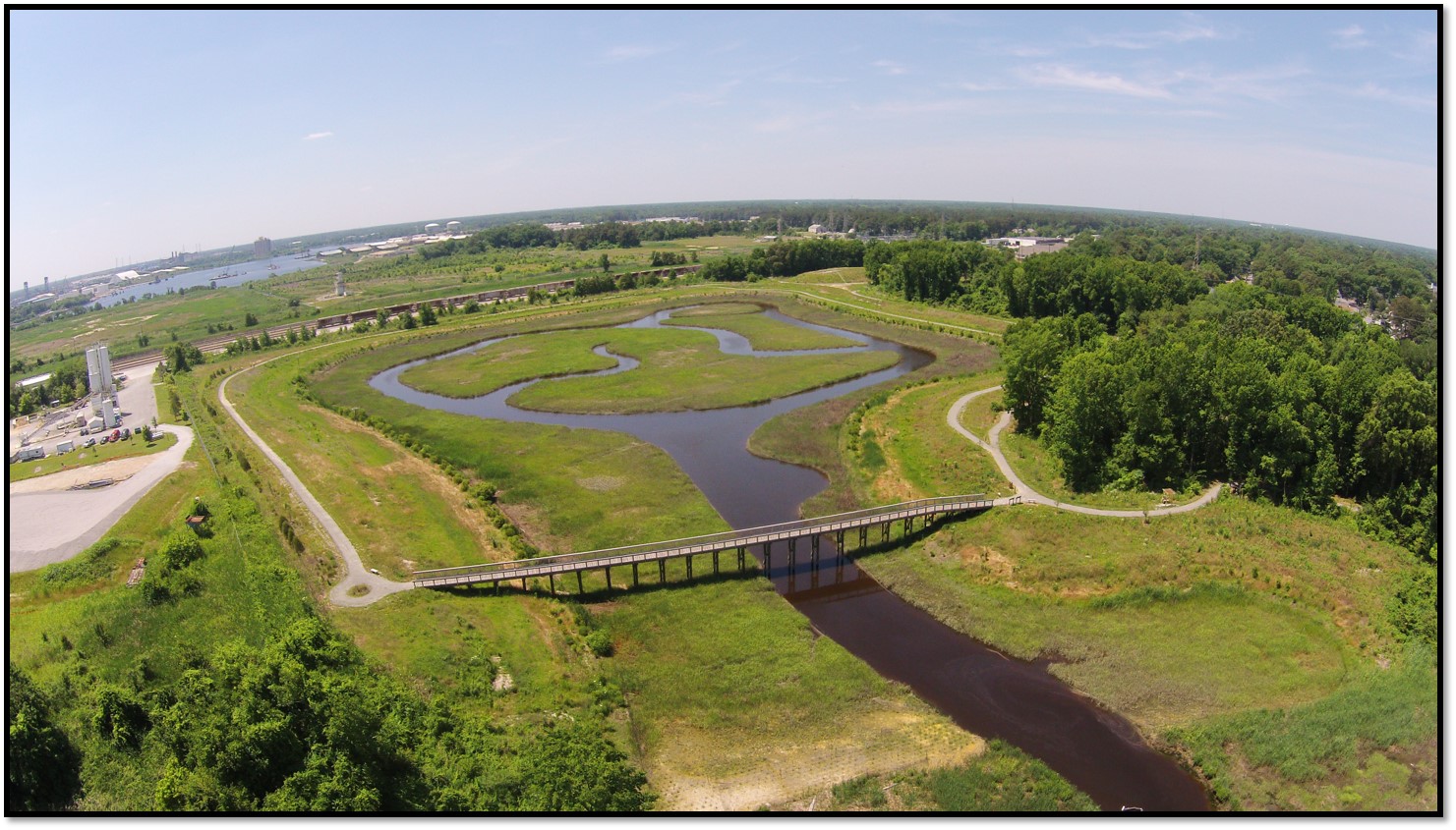 | ||||||||||
| Paradise Creek (FY07) | Open Spaces and Parks | FY07 | 15.6 | City of Portsmouth | City of Portsmouth | Local | Elizabeth River Project | 36.79933938 | -76.306277 | With a grant award of $300,000 the Elizabeth River Project acquired the remaining 15.6 acres of the Peck property for creation of the 40-acre Nature Park. The first 24 acres of the Peck property was acquired with funding assistance from VLCF. The parcel is one of the last remaining tracts of undeveloped forest of any size in private hands on the Southern Branch of the Elizabeth River. The project is specifically recommended in the Draft 2007 Virginia Outdoors Plan as a vital link in regional wildlife corridors and water trails. The project aids in restoration of 10 acres of tidal wetlands, and will provide full public access. https://elizabethriver.org/paradise-creek-nature-park/ |
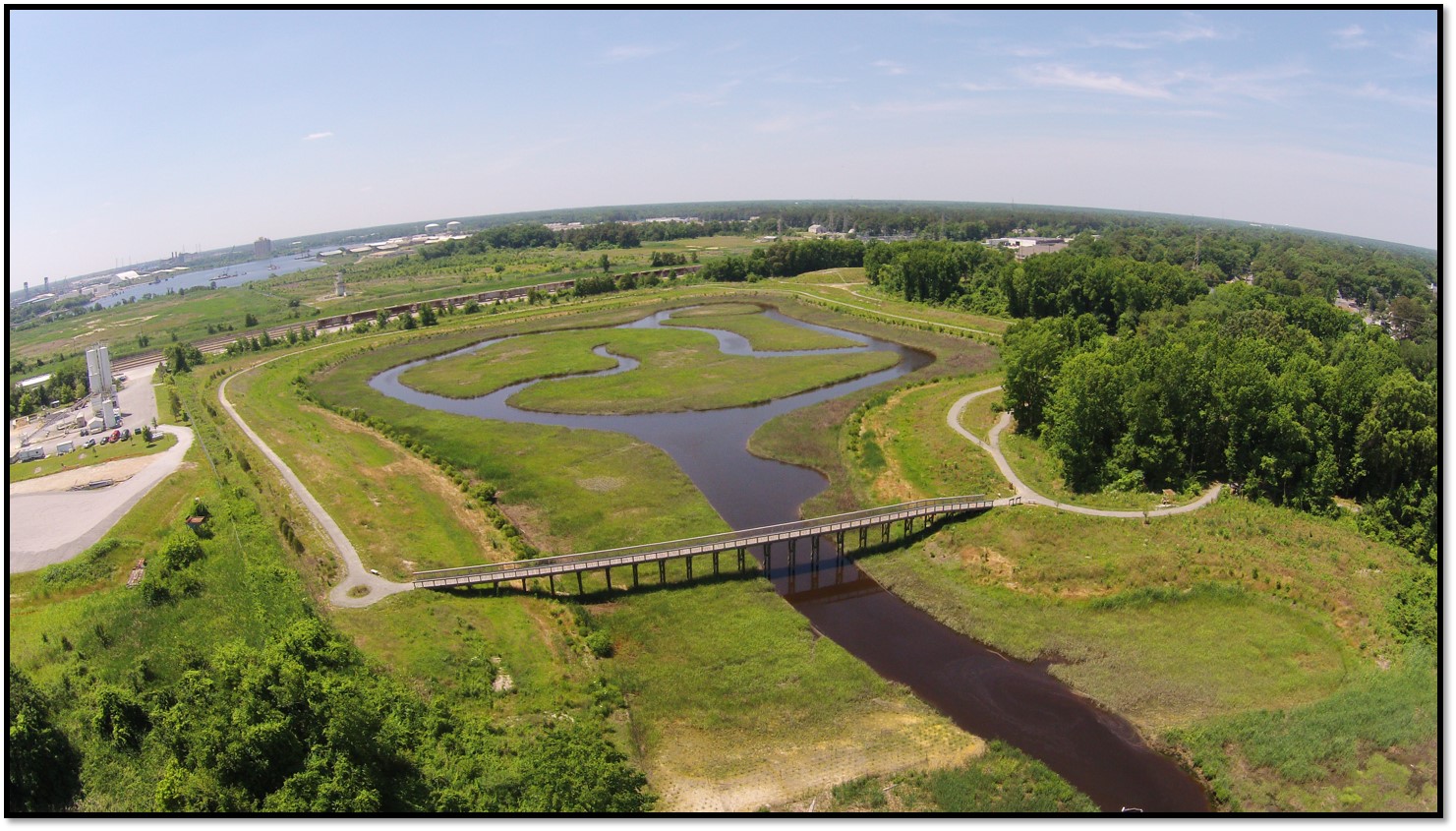 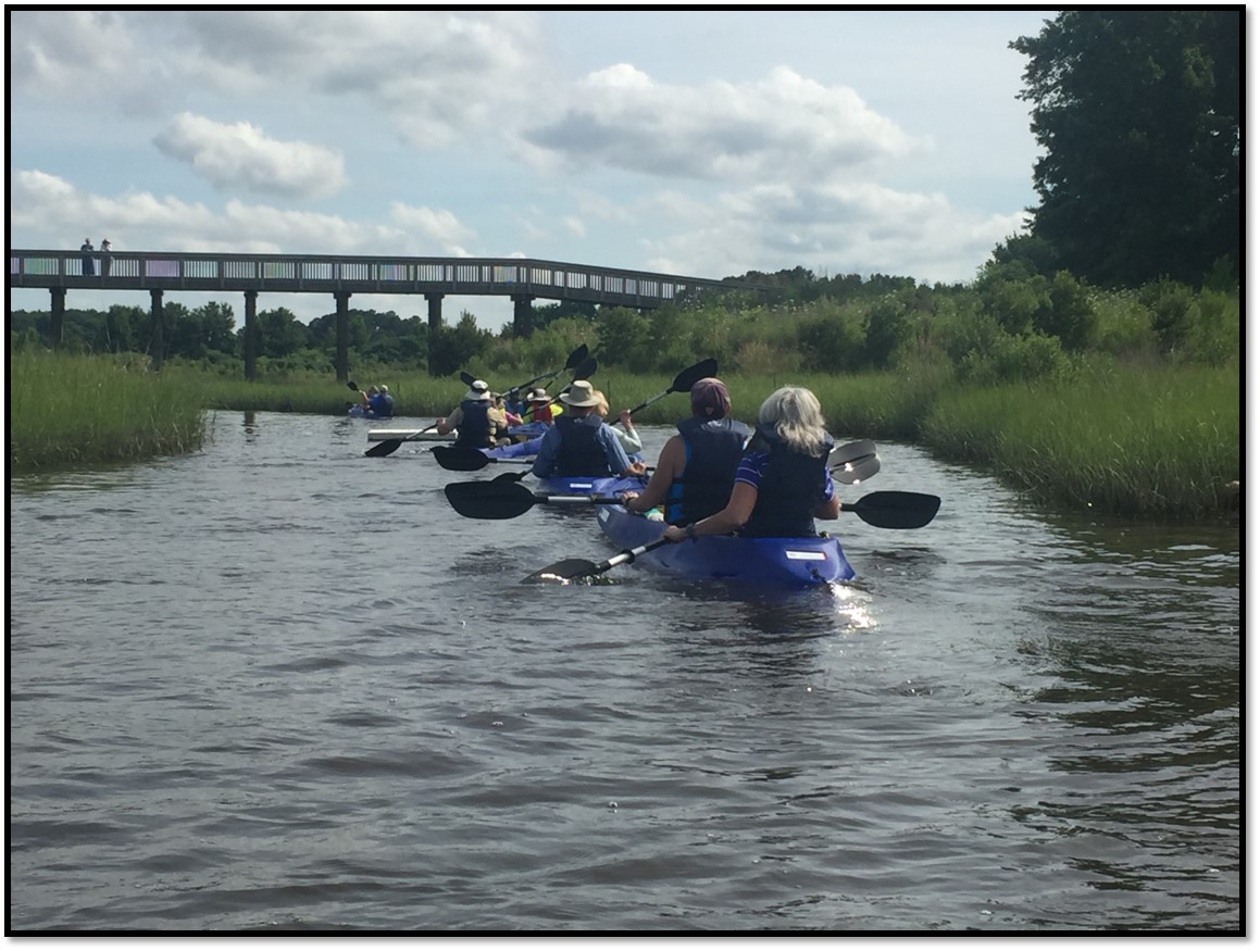 | ||||||||||
| Parkland Farms | Farmland Preservation | FY26 | 949.67 | Mecklenburg County | Virginia Outdoors Foundation | Private | Virginia Outdoors Foundation | -78.510714 | 36.710103 | The Virginia Outdoors Foundation received a VLCF grant for the protection of a 950-acre Century Farm in Mecklenburg County that adjoins an existing 686-acre VOF easement. Successful conservation of this property will result in 1,600 contiguous acres of conserved land. The property is in active agricultural production, currently cultivating organic tobacco, corn, and beans, as well as maintaining cattle pastureland. With 509 acres of prime soils, designated by USDA, and 600 acres categorized by American Farmland Trust as either “exceptional” or “significant,” preservation of the property will ensure its availability for the future production of agricultural products. The property contains various water resources including streams and wetlands, which will be protected with forested riparian buffers. |
   | ||||||||||
| Patawomeck Tribe Land Grant | Open Spaces and Parks | FY25 | 14.24 | Stafford County | Patawomeck Indian Tribe of Virginia | Tribe | Patawomeck Indian Tribe of Virginia | 38.266962 | -77.422089 | The Patawomeck Tribe was awarded grant funding to acquire a 14.24-acre parcel of land located on the state scenic Rappahannock River. The Patawomeck tribe was formally recognized by the Commonwealth of Virginia in 2010 and is one of eleven state recognized tribes. The Patawomeck community is centered in southern Stafford County and operates a museum and tribal center across the Rappahannock River from Fredericksburg at Little Falls. The project property is located just downriver from the Tribal Center as well as McDuff Park, which is owned by Stafford County. The Patawomeck Tribe intends to create a public access trail from McDuff Park to the property as well as a small boat loading area along the River. |
   | ||||||||||
| Pedlar Hills Addition - Supplemental Funding (FY24) (withdrawn) | Natural Area Preservation | FY24 | 156 | Montgomery County | Virginia Department of Conservation and Recreation | State | Virginia Department of Conservation and Recreation | 37.205404 | -80.255627 | This DCR-Division of Natural Heritage project was awarded the remaining funds needed to complete the acquisition of 156 acres as an addition to Pedlar Hills Natural Area Preserve in Montgomery County. In FY22, a VLCF grant was awarded for $515,000 for the acquisition, however the subject property proved to be more expensive than originally proposed. The property is adjacent to the preserve and comprised mostly of forested slopes that serve as important habitat buffer for the preserve and provide daily public access. The property lies within the Pedlar Hills Conservation Site and has a biodiversity rank of B1 - the highest rank possible - due to a suite of highly viable rare species habitats and rare woodland natural communities. This property would help close a broad gap between parts of the preserve, protect a sub-population of a federally-endangered plant, protect a large swath of forest, and improve management access to the preserve. This project was withdrawn. |
   | ||||||||||
| Pedlar Hills Glades NAP Addition (FY15) | Natural Area Preservation | FY15 | 130.5 | Montgomery County | Virginia Department of Conservation and Recreation | State | Virginia Department of Conservation and Recreation | 37.22782244 | -80.230722 | Funding was awarded to the Department of Conservation and Recreation for the fee-simple purchase of a 130-acre tract to increase the current level of protection for the rare species and natural communities within the Elliston Glades conservation site and at the Pedlar Hills Glades Natural Area Preserve. The Pedlar Hills Glades Natural Area Preserve is near the town of Elliston in Montgomery County and consists of 895 acres acquired by DCR in twelve tracts since 1998. This natural area preserve supports habitat for several rare species and a globally rare natural community known as Ridge and Valley Dolomite Woodland. The protection of the forest on the property contributes to watershed protection for the South Fork Roanoke River which contains the state and federal endangered Roanoke logperch (Percina rex). https://www.dcr.virginia.gov/natural-heritage/natural-area-preserves/pedlar |
 | ||||||||||
| Pedlar Hills Glades NAP Addition (FY22) | Natural Area Preservation | FY22 | 156.00 | Montgomery County | Virginia Department of Conservation and Recreation | State | Virginia Department of Conservation and Recreation - Natural Heritage Program | 37.205385 | -80.255619 | The DCR Natural Heritage Program utilized VLCF funds to acquire 156 acres adjoining the Pedlar Hills Glades Natural Area Preserve in Montgomery County. The property is the latest addition to the preserve, which currently totals 1,177 acres. The property lies within the Pedlar Hills Conservation Site, which has a biodiversity rank of B1 – the highest rank possible – due to a suite of highly viable rare species habitats and rare woodland natural communities. Acquisition of this property closed a gap of the preserve, protect a sub-population of a federally endangered plant and a large swath of forest and improve access to the preserve. |
  | ||||||||||
| Pedlar Hills NAP Addition (FY18) | Natural Area Preservation | FY18 | 2 | Montgomery County | Virginia Department of Conservation and Recreation | State | Virginia Department of Conservation and Recreation | 37.21319611 | -80.237529 | DCR's Natural Heritage Program received a grant award of $53,500 to acquire this two-acre parcel along the South Fork Roanoke River adjacent to Pedlar Hills Natural Area Preserve in Montgomery County. Although small, the subject property is within a mapped Conservation Site, which has the highest possible biodiversity ranking in Virginia and is expected to support long term resiliency of the already protected and highly significant lands. The tract is directly adjacent to the existing Preserve, lying just below a significant mapped occurrence of a globally rare "Ridge and Valley Dolomite Glade", and will extend resource protection to the banks of the river. This project helps DCR accomplish the legislative mandate outlined in the Virginia Natural Area Preserves Act. |
| Pegrams Battery Tract at Cedar Mountain | Historic Area Preservation | FY22 | 44.75 | Culpeper County | Virginia Board of Historic Resources | Private | American Battlefield Trust | 38.41156 | -78.053091 | The American Battlefield Trust is preserving the 44-acre Pegram’s Battery Tract, located in Culpeper County, via a fee acquisition and a conservation easement held by the Virginia Board of Historic Resources. The tract is entirely within the Core Area of the Cedar Mountain Battlefield, a Priority II.2 (Class B) Battlefield, according to the 1993 Civil War Sites Advisory Commission Report. The Trust intends to steward the tract and incorporate it into its existing Cedar Mountain Park, which is open to the public year-round for educational purposes. |
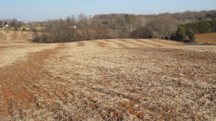 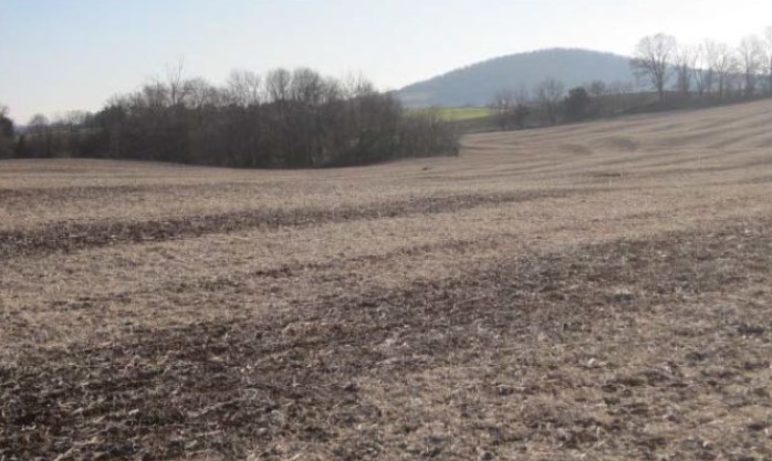 | ||||||||||
| Pickett’s Harbor Maritime Forest & Migratory Bird Habitat Protection (withdrawn) | Natural Area Preservation | FY21 Round 2 | 4.50 | Northampton County | Virginia Department of Conservation and Recreation - Natural Heritage Division | State | Virginia Department of Conservation and Recreation - Natural Heritage Division | 37.197643 | -76.006371 | DCR’s Division of Natural Heritage received funding to support the fee-simple purchase of 4.5 acres, two bayside lots on the Eastern Shore in Northampton County. Although small in size, these lots supported two globally-rare natural communities, a globally-rare beach dwelling insect, as well as high quality, internationally-significant migratory bird habitat. The property adjoined Pickett’s Harbor Natural Area Preserve and would have provided important protective buffer and management access to the existing Preserve. This project was withdrawn. |
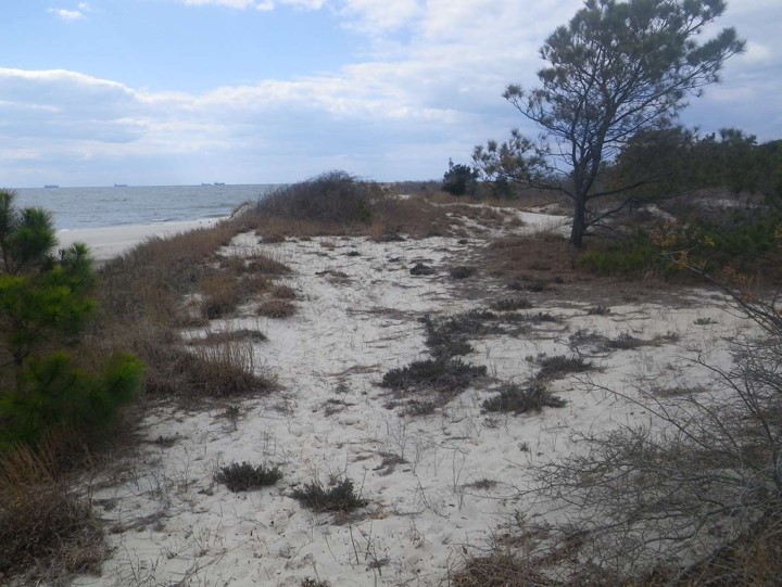 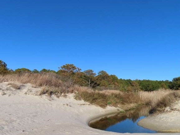 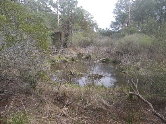 | ||||||||||
| Pickett’s Harbor Natural Area Preserve: Lake Allure Woods (withdrawn) | Natural Area Preservation | FY21 Round 2 | 44 | Northampton County | Virginia Department of Conservation and Recreation - Natural Heritage Division | State | Virginia Department of Conservation and Recreation - Natural Heritage Division | 37.197259 | -76.001114 | DCR’s Natural Heritage Division received funding to support the purchase of a 44-acre open-space easement to protect high ecological value, mature maritime forests that adjoin Pickett’s Harbor Natural Area Preserve and the largest natural lake known on the Eastern Shore. This forest provides exceptional value for songbirds and lies within the mapped Delmarva Migratory Animal Stopover Habitat conservation site, which is Virginia’s only site mapped for a significant aggregation of fall migrating bird species. The area supports one of the largest concentrations of landbirds along the Atlantic Coast each fall. This project was withdrawn. |
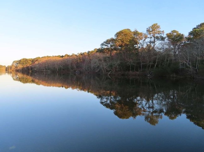 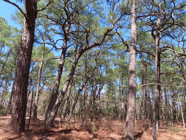 | ||||||||||
| Pierces Lowgrounds - Meherrin River Conservation Easement (FY22) | Forestland Preservation | FY22 | 2,860.00 | Greensville County | Virginia Outdoors Foundation | Private | Virginia Outdoors Foundation | 36.603175 | -77.397439 | Pierces Lowgrounds consists of 2,860 acres of multigenerational family-owned and operated forest and farmland along the Meherrin River in Greensville County. The property contains high conservation value forest with bottomlands, buffers and sloughs in and along the Meherrin River. The open grounds consist of approximately 450 acres of Prime Farmland or Farmland of Statewide Importance. Additionally, an outstanding ecological core blankets the tract from the river to the road. A VOF open-space easement protects the sensitive bottomlands, buffers and wildlife habitat along on the Meherrin River, ensuring that future generations may continue to own and manage its forests in perpetuity. |
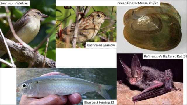 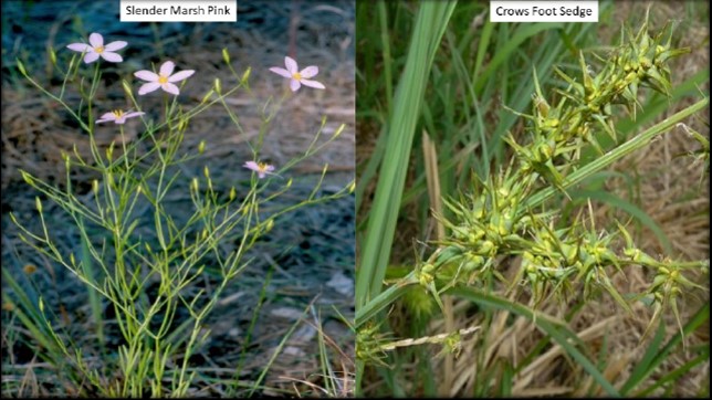 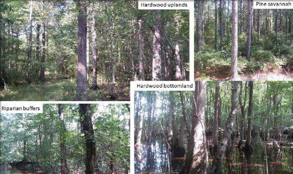 | ||||||||||
| Pierces Lowgrounds, Meherrin River Conservation Easement II (FY23) | Forestland Preservation | FY23 | 2860 | Greensville County | Virginia Outdoors Foundation | Private | Virginia Outdoors Foundation | 36.603168 | -77.397387 | The Pierces Low Grounds tract lies on the Meherrin River in Greensville County. This is a family owned and operated farm that has been in the same family for multiple generations. A VOF conservation easement will protect sensitive bottomlands, 15 miles of riparian buffers along the Meherrin River and perennial streams, and ensure that future generations may continue to own and manage its forests in perpetuity. This property contains 2,860 acres in forestal use mostly designated as high forest conservation value. Approximately 450 acres are in tillable farmland, all of which are Prime Farmland or Farmland of Statewide Importance. Additionally, an Ecological Core ranked - C1 Outstanding, the highest possible score, blankets the tract stretching from the river to the road. This project was awarded an FY22 grant for $300,000 by VLCF. |
 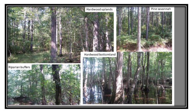 | ||||||||||
| Pigeon Hill LLC | Forestland Preservation | FY15 | 302.17 | Essex County | Virginia Department of Forestry | Private | Virginia Department of Forestry | 37.91814136 | -76.889229 | This grant request by Virginia Department of Forestry (VDOF) received funding for partial purchase of a conservation easement on 302 acres in Essex County. The Pigeon Hill property is 77% forested, with over 40% classified as high forest-conservation value. The property includes nearly two miles of undeveloped shoreline and approximately 42 acres of wetlands. This project received a grant award of $87,500. In conjunction with a 200-acre adjacent property placed under easement with VDOF in 2011 (also partially funded by a 2011 VLCF grant) this project contributes to the permanent protection of over 500 acres of sustainably managed forested uplands and over two miles of a sensitive tidal creek ecosystem. The property's wetlands provide habitat for many native wildlife and plant species. The position of the property between three management areas of the USFWS Rappahannock River Valley National Wildlife Refuge provides additional connectivity to the habitat of the migratory species these units were established to protect. |
| Pigg River Water Trail (Bald Knob) | Open Spaces and Parks | FY17 | 33.46 | Franklin County | Virginia Department of Conservation and Recreation | State | Virginia Department of Conservation and Recreation | 36.99537165 | -79.872083 | DCR's Division of Natural Heritage (DCR-DNH) was awarded a VLCF grant of $449,650 to help acquire this 33-acre tract adjacent to the Pigg River and Bald Knob Natural Area Preserve. The purchase of the property ensured the scenic integrity of the Pigg River, a potential Scenic River, and the designated Pigg River Water Trail. The property was incorporated into the Bald Knob Natural Area Preserve. https://www.dcr.virginia.gov/natural-heritage/natural-area-preserves/baldknob |
  | ||||||||||
| Piney Grove Vernal Pools Project | Natural Area Preservation | FY20 | 447 | Sussex County | The Nature Conservancy | Private | The Nature Conservancy | 36.97707 | -77.067558 | Utilizing a VLCF grant, TNC acquired and then deeded 331 acres of forestland, and also granted an open-space easement over an additional 116 acres of adjacent land on TNC’s Piney Grove Preserve, to DCR to establish the new 447-acre Piney Grove Flatwoods Natural Area Preserve. TNC’s Piney Grove Preserve comprises one of the largest blocks of fire-maintained southern pine savanna in Virginia and supports one of just two breeding populations of the federally endangered red-cockaded woodpecker in the state. TNC and state conservation agency partners will work to restore pine savanna habitat on the newly-created Natural Area Preserve to facilitate growth of the red-cockaded woodpecker population in support of range-wide recovery efforts for the species. This acquisition also ensures permanent protection of four vernal pools on the property that support populations of several state-rare amphibian species. |
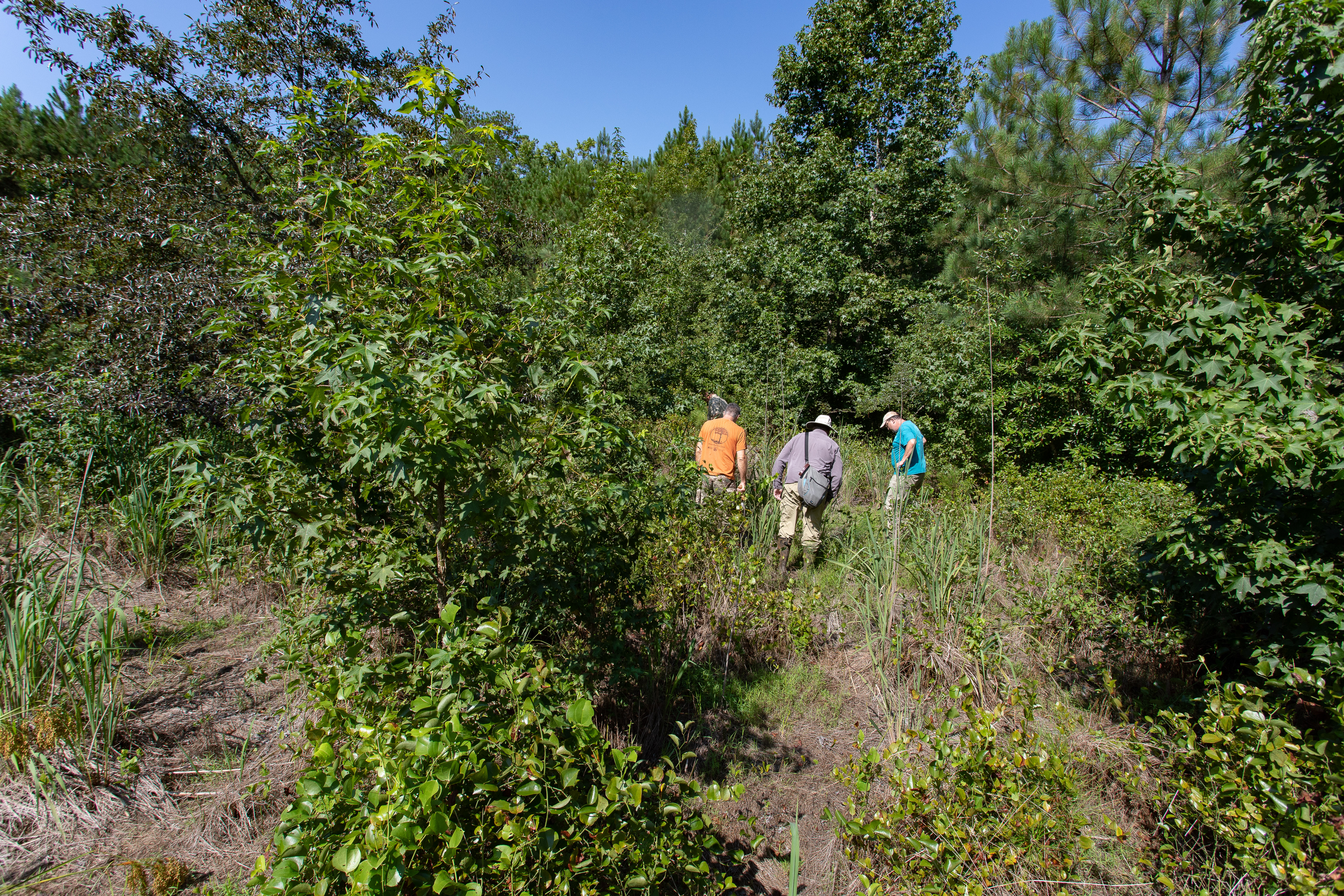 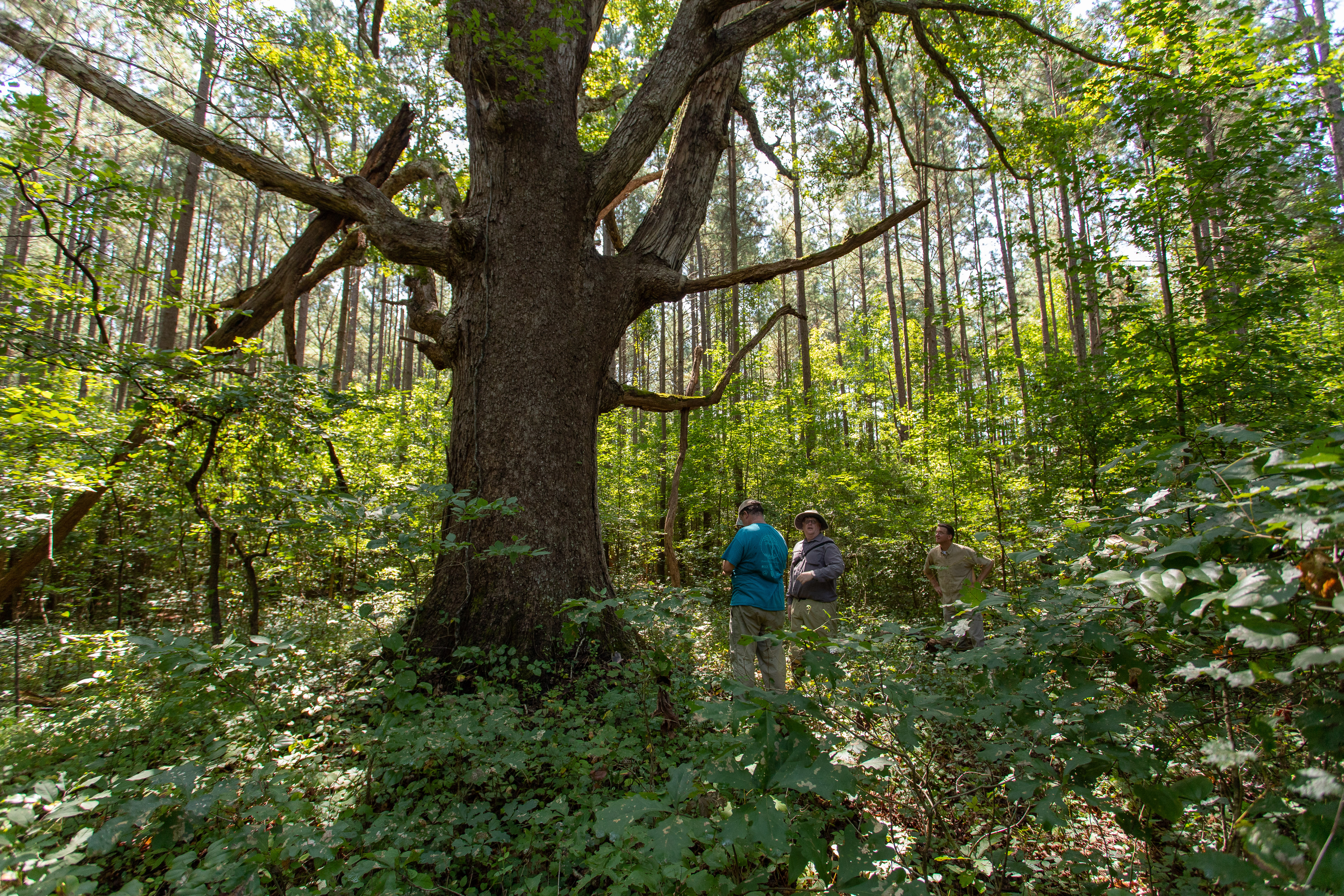 | ||||||||||
| Pinnacle State Natural Area Expansion - Weaver Creek | Natural Area Preservation | FY22 | 92.00 | Russell County | The Nature Conservancy | Private | The Nature Conservancy | 36.973095 | -82.128584 | The Nature Conservancy received a grant for the fee simple purchase of 92 acres including a large riparian corridor along Weaver Creek, a significant tributary to the Clinch River, in Russell County. This acquisition protects the viewshed of the new Clinch River State Park and provides hiking opportunities for visitors. Protection of this forested acreage also complements both the Pinnacle and Cleveland Barrens State Natural Area Preserves, increasing the Commonwealth’s conservation footprint in a biologically critical section of the Clinch River, including the “Clinch River –- Little River Stream Conservation Unit” designated as having “outstanding biological significance” by DCR’s Division of Natural Heritage. Partners include the Department of Wildlife Resources, the U.S. Fish & Wildlife Service and the Clinch River Valley Initiative. |
  | ||||||||||
| Pitchers for the Public | Forestland Preservation | FY12 | 17 | Caroline County | Caroline County | Private | Meadowview Biological Research Station | 38.14078428 | -77.393447 | Meadowview Biological Research Station was awarded $56,500 for the acquisition of 17 acres adjacent to Fort AP Hill in Caroline County to serve as Meadowview's Central Virginia Preserve. The 17 acres include rare gravel bog habitat and the adjacent uplands. The property has undergone habitat restoration through mechanical clearing, chemical site treatments, and prescribed fire to enhance indigenous rare plants found on the properties. The site is used for guided tours, research, educational, and recreational purposes. https://www.pitcherplant.org/The-Central-Virginia-Preserve/index.html |
  | ||||||||||
| Pleasant Grove | Forestland Preservation | FY17 | 1004.73 | Halifax County | Virginia Department of Forestry | Private | Virginia Department of Forestry | 36.72239168 | -79.053241 | Virginia Department of Forestry received a grant award of $230,000 for the partial purchase of an open-space easement on 1,005 acres of land, 1,000 of which is in working forest and farmland, located west of South Boston in Halifax County. Ninety-one percent of the forestland on the property is classified as having high forest conservation value. The easement protects over 4.5 miles of watercourses with permanent forested buffers, including the wetlands present on the property. A quarter of the property and a number of structures on it are listed on the National Register of Historic Places and the Virginia Landmarks Register. |
   | ||||||||||
| Pleasure House Point Access/Waterfront Area | Open Spaces and Parks | FY25 | 0.57 | City of Virginia Beach | City of Virginia Beach | Local | City of Virginia Beach | 36.90474 | -76.096701 | Pleasure House Point is part of a network of conserved areas along Crab Creek, Pleasure House Creek, and Lynnhaven Bay, with 1.25 miles of shorelines and wetlands, tidal mudflats, and maritime forests. In 2012, a significant portion of the property was conserved, and the City of Virginia Beach currently manages 108 acres of the property. The site showcases the beauty and function of a coastal ecosystem despite its heavily developed surroundings. The tidal wetlands at the site provide food and habitat for various bird species year-round and support amphibians, reptiles, invertebrates, and regionally iconic species. Sandy trails offer excellent birdwatching and wildlife viewing, with close-up views of the marsh. The property is part of multi-state networks and water trails and contains small boat launches onsite. The property offers scenic views, public access, and maritime forests featuring mature long-leaf pines. Despite the property's natural features and ecosystem services, there is substantial development pressure. |
 | ||||||||||
| Pohick Bay Regional Park Inholding Acquisition | Open Spaces and Parks | FY20 | 3.02 | Fairfax County | Northern Virginia Regional Park Authority | Local | Northern Virginia Regional Park Authority | 38.677583 | -77.1723 | VLCF funds contributed to the acquisition of this three-acre parcel adjacent to the Potomac River that is part of a regionally significant conservation corridor. The land acquired is the last inholding within an existing 1,007-acre park that is protected under the Land and Water Conservation Fund. The acquisition provides needed public access to open space and passive park facilities in a densely populated area. The property has 250 linear feet of Potomac River shoreline with a forested riparian buffer. It conserves natural and historic resources and protects the region's watershed. |
     | ||||||||||
| Pohick Bay Regional Park Stribling Acq. | Open Spaces and Parks | FY18 | 3.2 | Fairfax County | Northern Virginia Regional Park Authority | Local | Northern Virginia Regional Park Authority | 38.67789612 | -77.173131 | Northern Virginia Regional Park Authority (NOVA Parks) received $400,000 in VLCF assistance to acquire a 3.2-acre inholding in Fairfax County within the Pohick Bay Regional Park adjacent to the Potomac River, an American Heritage River. NOVA Parks acquisition of the property now protects land that is part of a regionally significant conservation corridor and provides public access for water based recreation. Additional recreational use of the property includes trail development, picnicking, and nature exploration. |
   | ||||||||||
| Poor Mountain Natural Area Preserve - Northeast Addition (FY21 Round 2) | Natural Area Preservation | FY21 Round 2 | 78 | Roanoke County | Virginia Department of Conservation and Recreation - Natural Heritage Division | State | Virginia Department of Conservation and Recreation - Natural Heritage Division | 37.246645 | -80.082718 | The DCR Division of Natural Heritage received VLCF grant funds that supported the fee simple acquisition of approximately 78 forested acres that adjoin the Poor Mountain Natural Area Preserve in Roanoke County. The Preserve, established in 1991, is designed to protect the world’s largest population of a globally imperiled plant species and the pine-oak heath habitats it occupies. This habitat is subject to natural fires that are difficult to control and tend to burn across large areas making contiguous, unfragmented managed areas critical. The subject tract not only supports individuals of the globally-rare Pirate Bush, it provides significant buffer on the northeastern flank of the Preserve, effectively completing the Preserve design in this direction. |
  | ||||||||||
| Poor Mountain Natural Area Preserve - Northeast Addition (FY22) | Natural Area Preservation | FY22 | 78.00 | Roanoke County | Virginia Department of Conservation and Recreation | State | Virginia Department of Conservation and Recreation - Natural Heritage Program | 37.246641 | -80.082722 | DCR’s Natural Heritage Division utilized a VLCF grant to acquire a 78-acre tract to improve the resiliency of Poor Mountain Natural Area Preserve in Roanoke County. These acres, which support intact forest in a mapped ecological core, a headwater stream/tributary of the Roanoke River, a drinking water spring used for several generations, and a viewshed observed from Salem and southwest Roanoke and users of the Appalachian Trail, were highly vulnerable to development. The existing pine-oak heath habitat is prone to high-intensity natural fires that are difficult to control, so minimizing wildland-urban interface here will provide multiple benefits to people and natural resources. The tract supports a globally imperiled species known as Pirate Bush (Buckleya distichophylla) and facilitates protection of the world’s largest population of this rare species. In addition, the tract provides significant buffer and creates a management boundary along a portion of the preserve. |
  | ||||||||||
| Poplar Hollow (FY22) (withdrawn) | Forestland Preservation | FY22 | 611.00 | Shenandoah County and Frederick County | Virginia Department of Forestry | Private | Virginia Department of Forestry | 39.033448 | -78.44302 | The Poplar Hollow property is a 611-acre property in Shenandoah County with 568 acres of High Conservation Value Forest adjacent to Devil’s Backbone State Forest. The Department of Forestry (DOF) received a VLCF grant to place a conservation easement on Poplar Hollow, which is part of an ecological core and is almost entirely within the Cedar Creek Stream Conservation Unit. A DOF easement would ensure permanent conservation of the high quality forest canopy protecting habitat for state-threatened species, provide water quality protections to more than 4,000 feet of perennial streams and maintain an undeveloped buffer for the state forest. This project was withdrawn. |
 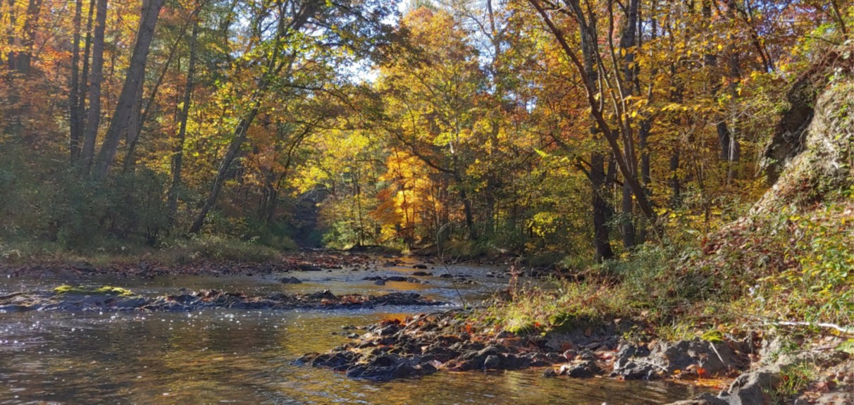 | ||||||||||
| Poplar Hollow, Additional Funding Request (FY24) (withdrawn) | Forestland Preservation | FY24 | 611 | Shenandoah County | Virginia Department of Forestry | Private | Virginia Department of Forestry | 39.033448 | -78.44302 | The Department of Forestry received a VLCF grant to place an easement on the Poplar Hollow property, a 611-acre property in Shenandoah County containing High Conservation Value Forest. The property is within the Cedar Creek Stream Conservation Unit and adjoins the Devil's Backbone State Forest. Buffering state-owned forestlands preserves a conducive setting for forest management. It also reduces ecological edge effects, helping to protect core forests from invasive species, as well as maintaining large blocks of continuous habitat for wildlife. A DOF easement would ensure the permanent conservation of the high-quality forest canopy which contributes to habitat for state-threatened species and provides water quality protections to the streams. This project was withdrawn. |
  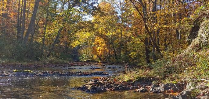 | ||||||||||
| Port Tobacco | Farmland Preservation | FY05 | 1802 | Essex County | Virginia Outdoors Foundation/The Nature Conservancy | Private | Virginia Outdoors Foundation | 38.13768722 | -77.09942 | A $258,000 grant was awarded to Virginia Outdoors Foundation to place an easement on the Baylor Family Farm (Port Tobacco Farm) in Essex County consisting of 1,802 acres, including 340 acres of riparian mixed hardwood forest and 500 acres of wetlands. This farm has been under the same ownership since the 1600s and includes 5.3 miles of frontage on the tidal Rappahannock and two miles of frontage on tributaries to the Rappahannock. The property contains and supports a wide variety of habitat types and wildlife species and the preservation of this property will protect two threatened and endangered species, the bald eagle and sensitive joint vetch. |
| Portobago Creek | Forestland Preservation | FY06 | 1320 | Essex County | Trust for Public Land | 38.11748387 | -77.132611 | A $252,711 grant was awarded to The Trust for Public Land for a conservation easement for the 1,320-acre Portobago Creek property adjacent to Fort A.P. Hill. This easement conserves 1,200 acres of coastal plain hardwoods and loblolly pine, 150 acres of decreasing wetland type, and 5,300 feet on intermittent streams. The easement is held by the Virginia Outdoors Foundation. | ||
| Powers Tract, Northwest River | Natural Area Preservation | FY00 | 172.3 | City of Chesapeake | Virginia Department of Conservation and Recreation | State | The Nature Conservancy | 36.56895509 | -76.219672 | A $286,000 grant was awarded to The Nature Conservancy to acquire 172 acres of wetlands, agricultural fields, and mature forests. Plans are to restore the wetlands and to keep the forest intact. The project adds to the protection of the Northwest River Preserve and is considered a critical component of this conservation site by the DCR Natural Heritage Division. https://www.dcr.virginia.gov/natural-heritage/natural-area-preserves/northwest |
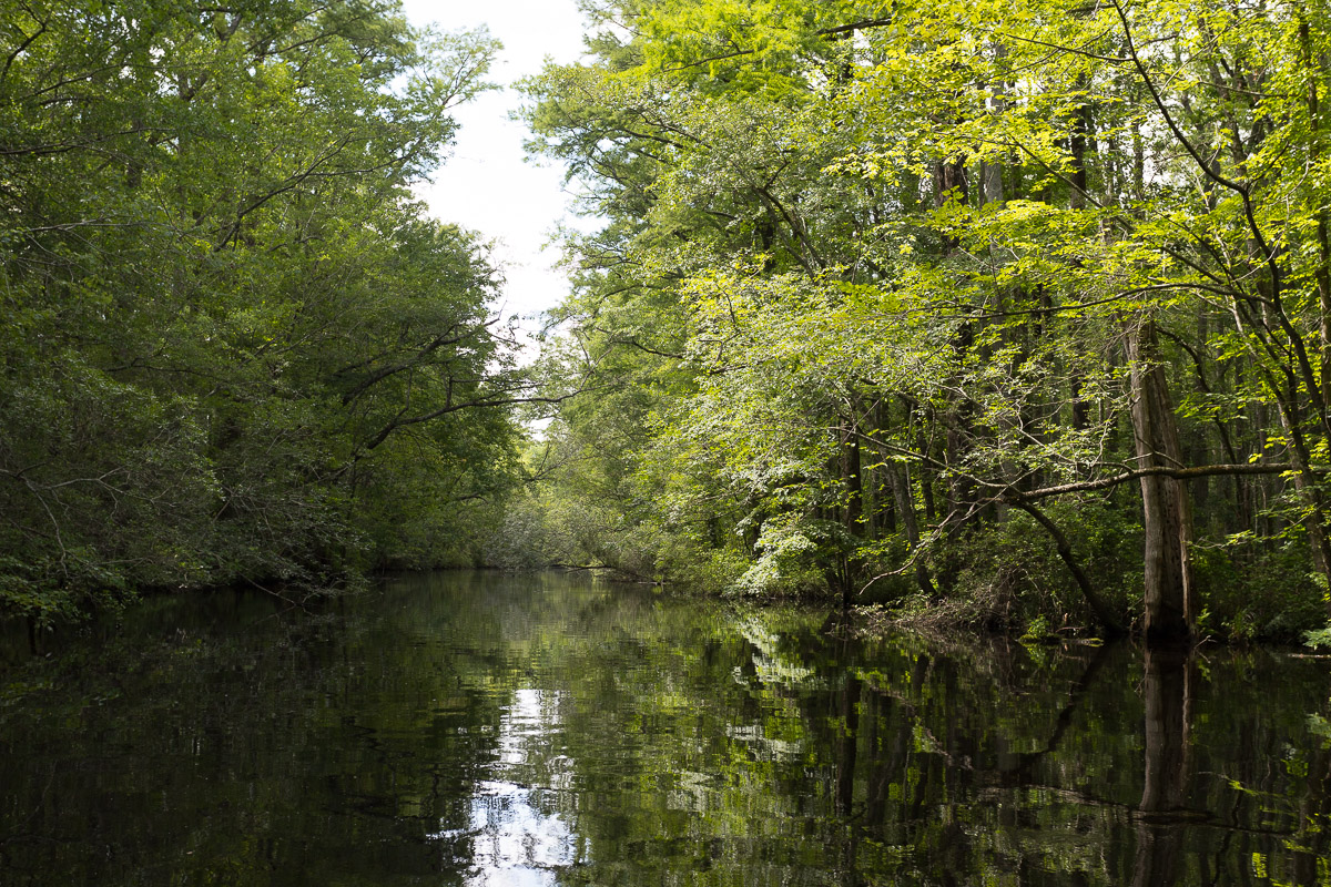 | ||||||||||
| Powhatan Creek (withdrawn) | Open Spaces and Parks | FY00 | 48 | James City County | James City County | James City County | 37.24034758 | -76.769681 | A $250,000 grant was awarded to James City County to acquire a prime parcel of land consisting of 48 acres along the Powhatan Creek corridor to protect the sensitive character of this natural area and to insure public access to water for recreational purposes. This project was withdrawn. | |
| Preservation of the Martin Indigenous Archaeological Site | Historic Area Preservation | FY26 | 16.26 | Wythe County | Virginia Board of Historic Resources | Private | The Archaeological Conservancy | -80.826268 | 36.923852 | The Archaeological Conservancy (TAC), was awarded funding to acquire and permanently protect 16 acres of farmland in Wythe County along the New River. This property contains the Martin archaeological site consisting of the remains of an indigenous village and cemetery dating as far back as the Archaic Period (~2,000 BCE), with the most intensive use being during the Woodland Period, ca. 1295 CE. The site is listed on the Virginia Landmarks Register and National Register of Historic Places but is on private property with no protection from disturbance. The landowner was undertaking a subdivision of the property to sell it as three waterfront development lots prior to TAC’s involvement. The potential development and recreational use of these lots would irreparably harm the archaeological deposits and put the burials at high risk of disturbance. The land will continue to be farmed and maintained as an open-space archaeological research preserve. TAC has the support of VDHR, tribal partners and The Conservation Fund in this endeavor to protect this unique archeological resource for the benefit of future archaeological research, education, and access by members of descendent tribal communities. |
   | ||||||||||
| Preserving Bear Mountain | Forestland Preservation | FY26 | 339.40 | Amherst County | Monacan Indian Nation | Tribe | Monacan Indian Nation | -79.126155 | 37.581536 | The Monacan Indian Nation was awarded a $1,210,000 VLCF grant for the protection of 339 acres in Amherst County. The Monacan Indian Nation is a federally recognized tribe with over 2,600 citizens. Bear Mountain in Amherst County has been the home of the Monacan people for more than 10,000 years. This property contains 339 acres of mixed hardwood forest, more than 1.5 miles of frontage on Falling Rock Creek and its tributaries, and is the site of the original Bear Mountain Settlement forming the core of the Monacan community today. The property contains at least four cemeteries with Monacan burial sites, the remains of historic settlements including chimneys and foundations from several cabins, in addition to numerous artifacts including stone points found over decades by the current landowner. The property contains an “outstanding” Forest Conservation Value hardwood forest and its acquisition would connect the Nation's holdings on Bear Mountain into a contiguous block of nearly 620 acres for consistent management of the natural and cultural resources on the property. |
   | ||||||||||
| Prillaman Farm (withdrawn) | Historic Area Preservation | FY13 | 92 | Rockingham County | Virginia Department of Historic Resources/Shenandoah Valley Battlefields Foundation | Private | Shenandoah Valley Battlefields Foundation | 38.32265936 | -78.780959 | Funding was requested by Shenandoah Valley Battlefields Foundation for acquisition of an easement over the 92-acre Prillaman/Gabriel Jones Farm. The property is located within the core and study areas of the Port Republic Battlefield, which the Civil War Sites Advisory Commission has given a preservation priority rating of II.2, Class B. The property is adjacent to the historic Bogota Farm, under easement with the Virginia Department of Historic Resources, and includes the house site of the original settler of the property Gabriel Jones. This project, awarded a grant of $102,871, would also conserve prime farmland, 800-feet of frontage on the South Fork of the Shenandoah River, 13 archaeological sites, and contribute to the 2,162-acre block of preserved battlefield farm and forest land in the viewshed of the Shenandoah National Park and Skyline Drives. This project was withdrawn. |
| Proctor Tract at Cedar Mountain Battlefield | Historic Area Preservation | FY23 | 7.36 | Culpeper County | Virginia Board of Historic Resources | Private | American Battlefield Trust | 38.402526 | -78.068872 | The American Battlefield Trust seeks to preserve the seven-acre Proctor Tract in Culpeper County via fee acquisition and the recordation of a historic preservation and open-space easement to be held by the Virginia Board of Historic Resources. The tract is located entirely within the Core Area of the Cedar Mountain Battlefield. The property is improved and composed of two parcels, each with a single-family dwelling and outbuildings. The property also includes two acres of thinly scattered woods. The Trust will remove the non-historic structures (if required by DHR and DCR) and transfer the property to the DCR for inclusion in the Culpeper Battlefields State Park. |
  | ||||||||||
| Protected Farmland along the Rappahannock River (withdrawn) | Farmland Preservation | FY21 Round 2 | 732 | Culpeper County | Piedmont Environmental Council | Private | Piedmont Environmental Council | 38.574542 | -77.880756 | Piedmont Environmental Council received grant funds to help secure a conservation easement to protect Lakota Ranch, a 100% grass-fed Devon cattle family farm comprised of 732 acres in Culpeper County. The Rappahannock River, a Virginia Scenic River, borders the property for 1.02 miles with a 100’ livestock exclusion buffer along the river. There are 80 acres of core and 547 acres of study area for Rappahannock Station Battlefield. The property can be viewed by the public from a State Scenic Byway and the Rappahannock River. PEC partnered with the Culpeper Soil & Water Conservation District in securing funding through the NRCS Agricultural Land Easement program to leverage state and private funding to advance farmland protection in the Upper Rappahannock Basin. This project was withdrawn. |
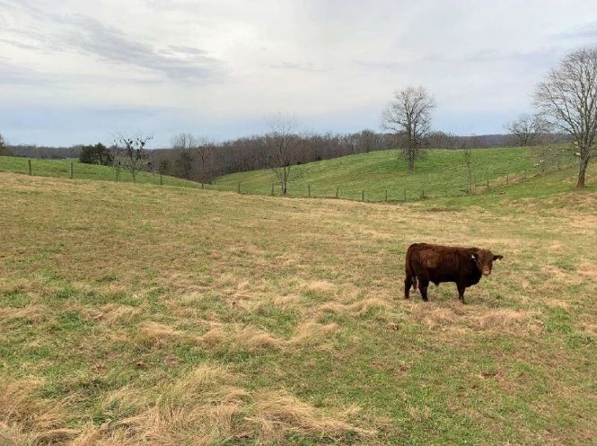 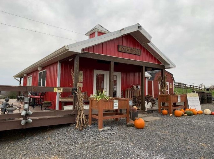  | ||||||||||
| Protection of Flatwoods at Piney Grove (withdrawn) | Natural Area Preservation | FY16 | 75 | Sussex County | The Nature Conservancy | 36.97167904 | -77.049194 | The Nature Conservancy (TNC) was awarded $69,655 in grant funding from VLCF to assist in acquiring approximately 75 forested acres adjacent to TNC's Piney Grove Preserve in Sussex County, Virginia. Acquisition by TNC would benefit two natural heritage resources: Coastal Plain Seasonal Ponds and Virginia's sole population of the federally endangered Red-cockaded Woodpecker. Conservancy ownership would ensure protection of future Red-cockaded Woodpecker nesting and foraging habitat and would involve reintroduction of fire to restore pine savanna habitat for numerous fire-dependent species. The hydrology of the Seasonal Ponds and surrounding hydric soil areas would be preserved as well. The project tracts would be incorporated into Piney Grove Preserve and designated by DCR as a Natural Area Preserve system tract. This project was withdrawn. | ||
| Protection of the Gallohan-Surgenor Cave | Natural Area Preservation | FY07 | 330 | Lee County | Virginia Department of Conservation and Recreation | Private | The Nature Conservancy | 36.62281088 | -83.263598 | The grant award of $315,000 to The Nature Conservancy was for the fee simple purchase of 330 acres on the Powell River, Lee County. With two globally significant cave systems and two miles of river frontage the site supports 33 rare species and community mapped locations. https://www.dcr.virginia.gov/natural-heritage/natural-area-preserves/thecedars |
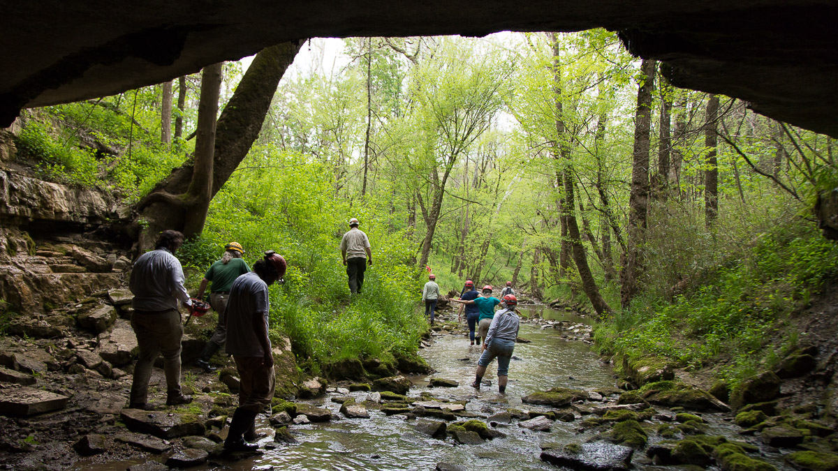 | ||||||||||
| Protection of Thornridge Farm | Farmland Preservation | FY23 | 203.32 | Rappahannock County | Piedmont Environmental Council | Private | Piedmont Environmental Council | 38.556640 | -78.170580 | Thornridge Farm is a 203-acre working cattle and Century Farm located in Rappahannock County, a locality with a robust traditional farming community. Thornridge Farm has begun to implement Best Management Practices to protect the land’s conservation values such as the water quality of perennial and intermittent streams, forested steep slopes, prime, unique, and important soils, and wildlife habitat. Conserving Thornridge Farm will protect iconic scenic views from Old Rag Mountain, one of Shenandoah National Park’s most popular public hikes, and further partnerships between long standing farming families and the conservation community. Here, the Culpeper Soil and Water Conservation District is the public-body easement holder and the financial contribution of the Krebser Fund for Rappahannock County Conservation will contribute to leveraging VLCF funds to protect the important conservation values of the land while ensuring the economic viability of future agricultural operations on the property. |
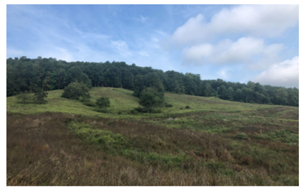 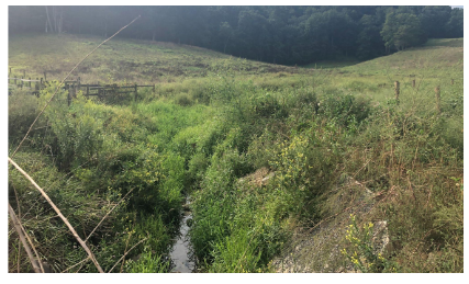 | ||||||||||
| Rappahannock River Park (withdrawn) | Open Spaces and Parks | FY21 Round 1 | 46.53 | Culpeper County | Culpeper County | Local | Culpeper County | 38.415079 | -77.6631 | Culpeper County, together with the Piedmont Environmental Council and other partners, sought to acquire and conserve Rappahannock River Park with VLCF funding. The property consists of 46.53 acres and would provide public access to: the river with an existing non-motorized boat launch; a park with an existing primitive campground with 47-sites and associated infrastructure; nature trails; a stocked fishing pond; and picnic areas. This rural property is mostly forested and borders the Rappahannock River for 650 feet. The historic and cultural significance is documented starting in the 1600s through the Civil War, and contains historic features such as Skinker’s Ford, with the historic roadbed still evident today. This project was withdrawn. |
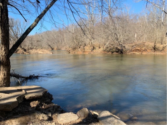 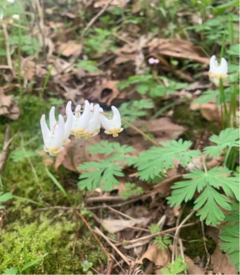 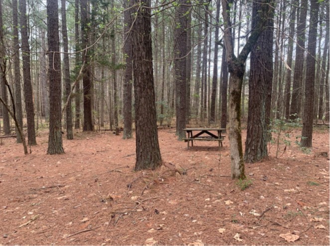 | ||||||||||
| Rappahannock Station Park | Open Spaces and Parks | FY06 | 26 | Fauquier County | Virginia Department of Historic Resources/Piedmont Environmental Council | Local | Piedmont Environmental Council | 38.5517423 | -77.814932 | A $200,000 grant was awarded to Piedmont Environmental Council to aid in preserving a Civil War Battlefield as part of a 26-acre riverfront park. The park provides public access to the Rappahannock River in Fauquier County. Planned park activities include historic exploration, boating, fishing and wildlife viewing. The Town of Remington, a recently listed site on the Virginia Landmarks Register and the National Register of Historic Places, borders the site on the north. https://www.fauquiercounty.gov/government/departments-h-z/parks-and-recreation/historical-sites-new/rappahannock-station |
| Rappahannock Tribe's Return to the River, Phase II | Forestland Preservation | FY23 | 703.09 | Richmond County | US Fish and Wildlife Service | Tribe | Rappahannock Tribe of Virginia | 38.067196 | -76.900502 | The Rappahannock Tribe is seeking to add 703 acres to 465 riverfront acres they acquired in 2022, to create 1,168 acres of contiguous lands to be under a perpetual conservation easement with the U.S. Fish and Wildlife Service. This project will protect irreplaceable archeological resources, protect migratory bird habitat, protect nesting, roosting, and migration habitat for bald eagles, and end commercial logging operations. The property is rich in cultural significance, having been mapped by John Smith in 1608 as a Rappahannock town called Pissacoack. It contains a northern coastal Mesic mixed hardwood forest, including loblolly pine, with a thriving population of breeding and migrating bald eagles, songbirds, and resident wildlife. Mature stands are found along the extensive, deep network of ravines that bisect the property and that protect the headwaters of Garlands Creek and Mud Hole Swamp. Conservation will expand the area of contiguous protected properties and link with two previously unconnected parcels owned in fee and protected by the Rappahannock River Valley National Wildlife Refuge. |
 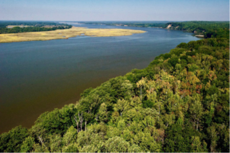 | ||||||||||
| Rare Oak-Hickory Forest | Natural Area Preservation | FY01 | 226 | Fairfax County | Virginia Department of Conservation and Recreation | Local | Northern Virginia Conservation Trust | 38.86366385 | -77.499451 | A $729,250 grant was awarded to the Northern Virginia Conservation Trust to purchase a 180-acre tract of forest in western Fairfax County to protect a rare ecosystem from future development. This land is preserved as a natural area connected to 830 acres of existing parkland, making one of the largest areas of public open space in Northern Virginia. |
| Red Hill (FY20) (withdrawn) | Historic Area Preservation | FY20 | 596 | Charlotte and Campbell Counties | Patrick Henry Foundation | Private | Patrick Henry Memorial Foundation | 37.02423 | -78.897453 | The foundation received a VLCF grant in the amount of $600,000 to place an open-space easement on 596 acres at Red Hill Plantation located on the border between Charlotte and Campbell Counties near Brookneal. Red Hill, the home of Virginia’s first governor, Patrick Henry, is open to the public 362 days per year. It is the site of an annual U.S. naturalization ceremony held on Patrick Henry’s birthday, as well as a public Fourth of July celebration. The property contains high value prime farmland, first-generation hardwoods, and a slave cemetery containing 147 identified graves, and structures that include the former governor’s original law office, original restored slave quarters and a reconstructed blacksmith shop present on the plantation at the time of Patrick Henry’s death. Red Hill fronts on the State Scenic Staunton River as well as the potential State Scenic Falling River. Red Hill is listed on the Virginia Landmarks Register and the National Historic Register, and was named a National Memorial in 1986 by President Ronald Reagan. The project was withdrawn. |
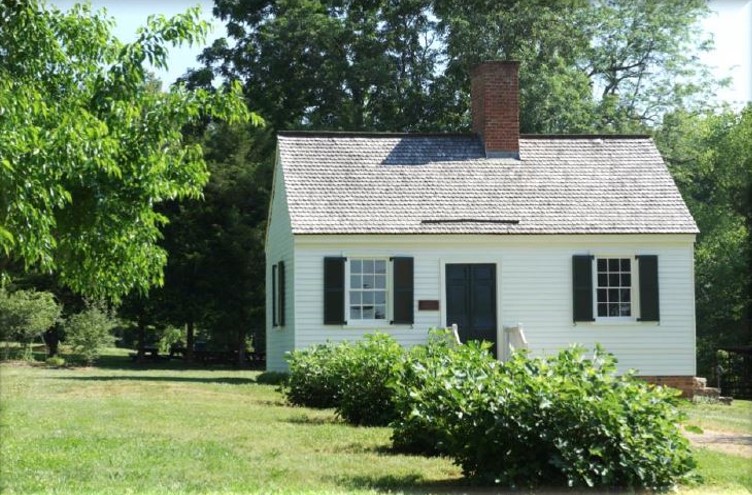 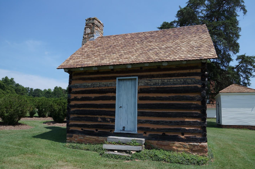 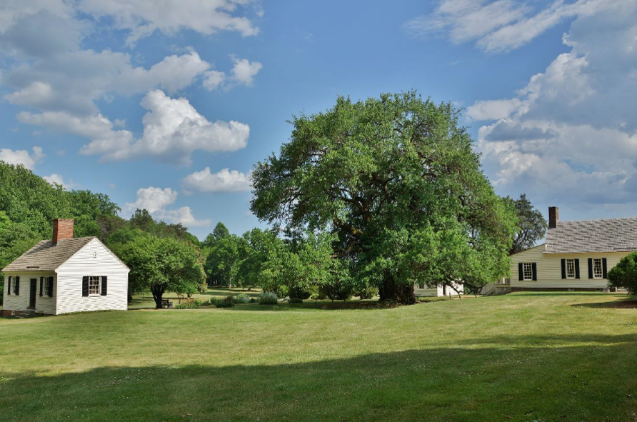 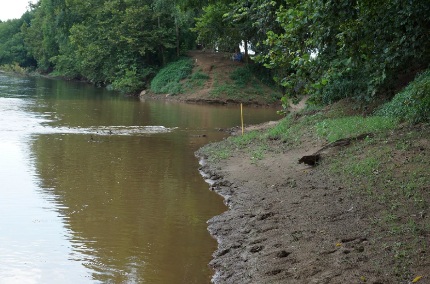 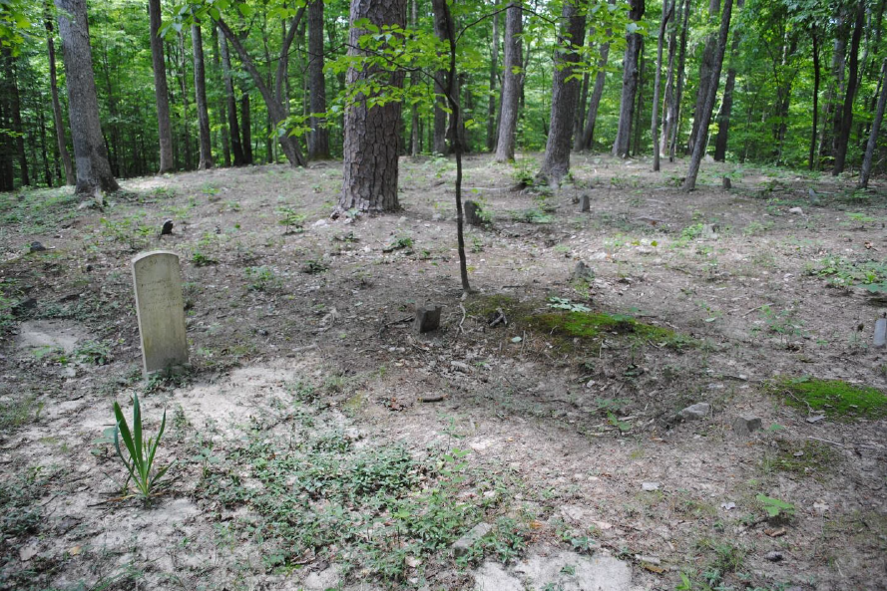 | ||||||||||
| Red Hill (FY23) | Open Spaces and Parks | FY23 | 596.00 | Charlotte and Campbell Counties | Virginia Outdoors Foundation | Private | Patrick Henry Memorial Foundation | 37.028037 | -78.898134 | The Patrick Henry Memorial Foundation placed an open-space easement held by VOF on 596 acres at Red Hill, located in Brookneal, VA. Red Hill, the home of Patrick Henry, first Governor of the Commonwealth, is open to the public year round, provides substantial outreach and education to both youth and adults, and is the site of an annual US Naturalization ceremony held on May 29th, the birthday of Patrick Henry. Additionally, the property includes Prime Farmland, first generation hardwoods, and a recently acquired/identified enslaved cemetery containing 147 identified graves. Red Hill includes numerous structures that are typical of what would have been present at the time of Patrick Henry’s death. It fronts on the State Scenic Staunton River as well as the Falling River. Red Hill was named a National Memorial in 1986 by then President Ronald W. Reagan. |
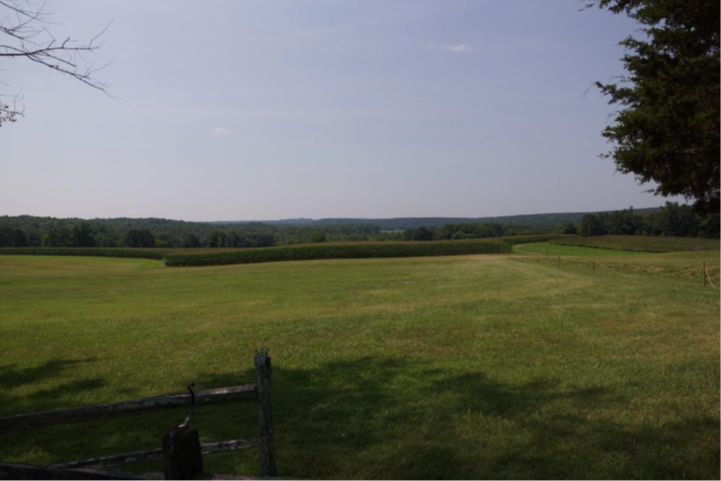 | ||||||||||
| Redrock Mountain NAP Addition (withdrawn) | Natural Area Preservation | FY17 | 97.83 | Smyth County | Virginia Department of Conservation and Recreation | 36.92491908 | -81.796732 | DCR's Natural Heritage Program received a grant award of $151,200 to purchase in fee 98 acres in Smyth County as an addition to Redrock Mountain Natural Area Preserve. This project would connect the Preserve with the nearby Clinch Mountain Wildlife Management Area and secure an inholding in one of Virginia's most significant contiguous forested landscapes. In addition, the project would protect a portion of the red siltstone cliff for which the mountain and the preserve are named, as well as four associated rare plant species and two rare natural communities. This project was withdrawn. | ||
| Richard Rolen Property | Forestland Preservation | FY25 | 697.00 | Washington County | Virginia Outdoors Foundation | Private | Virginia Outdoors Foundation | 36.809773 | -81.927519 | Located along the North Fork Holston River in Washington County, this property contains nearly 700 acres, 600 of which are prime forestland. The forest conservation values on this property are outstanding and cover almost 90% of the property, 75.8% of which are in the very high category. With numerous ponds and streams, the water resources support many species of fish and insects, including the Virginia Springfly. The ecological cores report a level C2: Very High and cover nearly the entire property. This supports the bountiful wildlife within and protects the river life with over seven miles of river frontage on the North Fork Holston River. Used primarily for recreation, the landowner wishes to forever protect the land with a conservation easement. The love of the land and its inhabitants is reflected in the performance of maintenance already at work on this property. The property is scheduled for selective cut timbering while the whole forest is being managed under a stewardship plan. At 697 acres, this property is five and a half times the size of the average farm in the county. Among many conserved lands in the vicinity, it adjoins another protected property under easement and is within one mile of The Channels State Forest. |
  | ||||||||||
| Richardson PDR | Farmland Preservation | FY09 | 268 | Northampton County | Northampton County | Local | Northampton County | 37.21171951 | -75.943554 | The grant award of $250,000 to Northampton County funded the purchase of a conservation easement on 268 acres in Northampton County, the first easement purchase made by the Northampton County Purchase of Development Rights (PDR) program. This property, which the same family has been farming since 1945, contains 104 acres of prime farmland soils, as well as 82 acres of forested migratory bird habitat and another 82 acres of marsh and wetland habitat. The entire property is in a Natural Heritage Resource Conservation Site, and also provides a forested buffer to more than 10,000 linear feet along Mill Creek and a marsh on Magothy Bay. |
| Ridley Farm | Forestland Preservation | FY16 | 567 | Southampton County | Virginia Department of Forestry | Private | Virginia Department of Forestry | 36.68480988 | -77.06955 | The Virginia Department of Forestry funded partial purchase of a conservation easement with a grant award of $250,000 to protect 567 acres in Southampton County containing 185 acres of swamp/bottomland hardwoods that includes old-growth Tupelo/Bald Cypress swamp with nearly 20,000 feet of frontage on the Nottoway River. The property is also a working farm, with 130 acres of largely prime farmland currently under intensive agricultural use. The swamp and bottomland hardwoods, which lie within the larger DCR Natural Heritage-designated Cypress Swamps Conservation Site, are now protected from timber harvesting and will serve as an effective buffer to the Cypress Bridge Natural Area Preserve that is directly across the Nottoway River. The easement also limits development on the upland portion of the property and helps preserve the viewshed of a state Scenic River. |
   | ||||||||||
| River Farm (withdrawn) | Open Spaces and Parks | FY21 Round 1 | 24.71 | Fairfax County | Northern Virginia Regional Park Authority | Local | Northern Virginia Regional Park Authority | 38.742535 | -77.044907 | River Farm is a public garden and event venue consisting of 24 acres on the Potomac River in Fairfax County, threatened by sale. To secure the property for continued public access and resource preservation, NOVA Parks worked with partners including Fairfax County, Fairfax County Park Authority, elected officials, and Northern Virginia Conservation Trust, and received VLCF funding support. River Farm held community significance for gatherings, nature walks, and its history of ownership by George Washington. It offered scenic and water quality conservation values, with more than 1,150 feet of mostly forested shoreline along the Potomac River. River Farm currently fills a community need for public open space with river access. District 44 is one of the few districts in Fairfax County classified as “moderate social vulnerability.” None of the area meets benchmarks for swimming, boating, or fishing, overall characterized as “moderate” need for aquatic recreation access. NOVA Parks and our partners were in conversation with AHS and are collaborating to secure grants to conserve this critical resource for public use. NOVA Parks envisioned a lasting partnership with Fairfax County for ownership and management of River Farm. This project was withdrawn. |
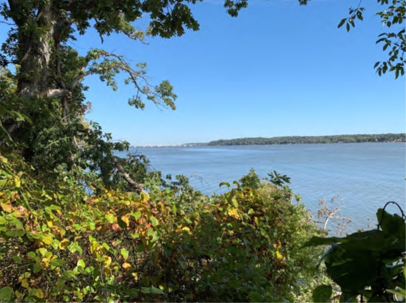 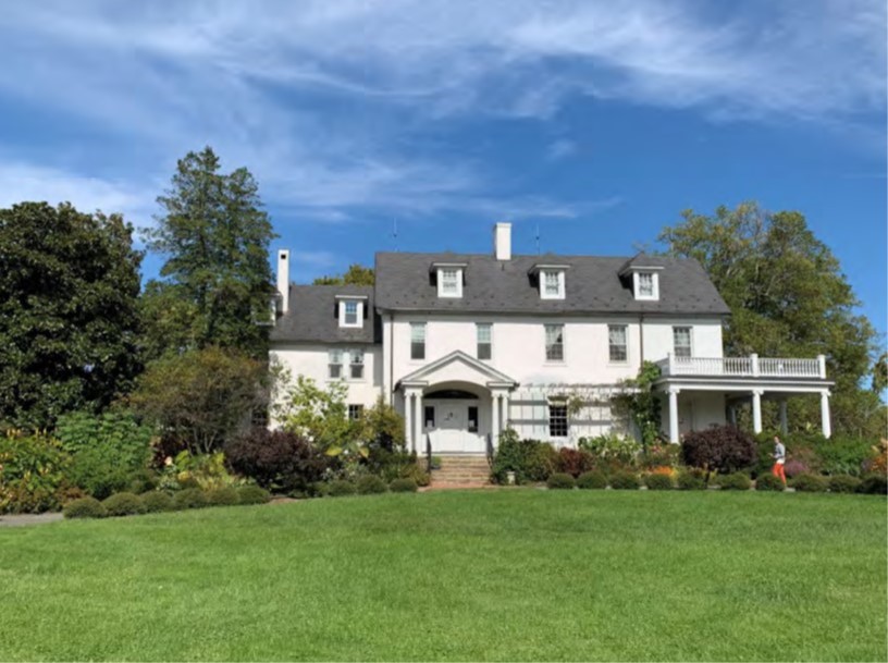 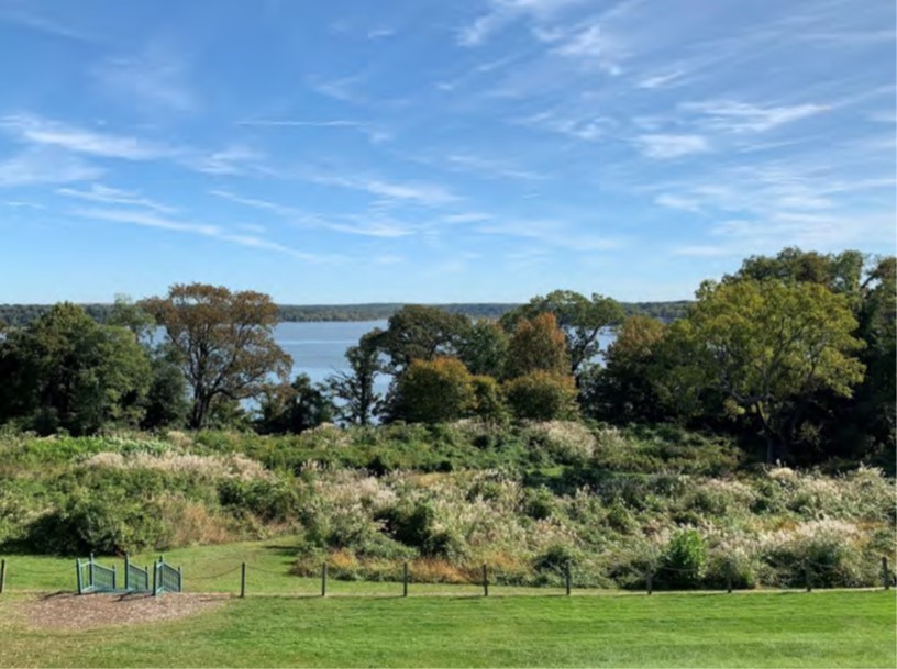 | ||||||||||
| Riverheads School Complex - Adjacent Property | Open Spaces and Parks | FY26 | 24.59 | Augusta County | Augusta County | Local | Augusta County | -79.140925 | 38.037909 | The County of Augusta was awarded a VLCF grant of $285,475 for the acquisition of 25 acres of undeveloped land bordering the Riverheads School complex. This property is at high risk of development (Class V "Most Vulnerable") in the Development Vulnerability Model. If acquired, this property would be the only locality-owned park in that region of Augusta County. Acquisition of the property will facilitate future construction of an agricultural and/or outdoor classroom and potential park development. Once acquired, the property will be managed in a manner consistent with the existing school property while plans are developed for outdoor education and park use. Long term, the property will be managed, either by the Augusta County Parks & Recreation Department, or by the Augusta County School Board. |
  | ||||||||||
| Riverview Walk Park | Open Spaces and Parks | FY18 | 16.19 | City of Franklin | City of Franklin | Local | City of Franklin | 36.67944599 | -76.918659 | The City of Franklin received a VLCF grant to help fund the acquisition costs of this 16-acre property along the Blackwater River for use as a public park to be named Riverview Walk Park. Approximately six acres of the property is upland and will be used for park development for fishing, kayaking, walking, unstructured play, nature observation and picnicking. |
  | ||||||||||
| Roanoke River Greenway | Open Spaces and Parks | FY12 | 8.78 | City of Salem | City of Salem | Local | City of Salem Planning Dept. | 37.26666955 | -80.029399 | City of Salem Planning Department was awarded $33,825 for fee simple acquisition of 8.78 acres in the City of Salem for lands and right-of-way needed for completion of the portion of the Roanoke River Greenway between Rotary Park and the city line. Trail construction for this portion of the trail is funded by a Transportation Enhancement grant of $688,000. https://greenways.org/trails/roanoke-river-greenway/roanoke-river-greenway-in-salem/ |
  | ||||||||||
| Roanoke River Working Forest | Forestland Preservation | FY22 | 932.00 | Charlotte County | Virginia Department of Forestry | Private | The Conservation Fund | 36.958866 | -78.615978 | The Virginia Department of Forestry plans to acquire a conservation easement on 932 acres of working forestland adjacent to the newly created State Forest in Charlotte County, also funded in part through a VLCF grant (FY20). The Conservation Fund is working in partnership with DOF to permanently to protect a critical wildlife corridor and important habitat for threatened and endangered species; maintain sustainable working forests; and safeguard clean drinking water. These efforts will contribute to a larger protected landscape, increasing habitat connectivity and resilience and supporting a sustainable timber supply for one of the Commonwealth’s largest industries. |
  | ||||||||||
| Roanoke River Working Forest II (FY23) | Forestland Preservation | FY23 | 1347 | Charlotte County | The Conservation Fund | Private | The Conservation Fund | 36.964888 | -78.557042 | Phase II of The Conservation Fund’s Roanoke River Working Forest project, will protect 1,347 acres of working forestland with a Dept. of Forestry open-space easement. The property is located in Charlotte County, near the recently created Charlotte State Forest, established in 2020 and 2021, partly funded through VLCF. This project will protect a critical wildlife corridor and important habitat for threatened and endangered species, maintain sustainable working forests in the timber-basket of Virginia; and help safeguard clean drinking water. Additional benefits include augmenting the conservation and economic impacts of the new state forest by supporting a sustainable timber supply, contributing to a larger protected landscape, and increasing habitat connectivity and resilience. |
  | ||||||||||
| Robinson-Baker's Creek Acquisition | Open Spaces and Parks | FY25 | 513.32 | King and Queen County | Middle Peninsula Chesapeake Bay Public Access Authority | Local | Middle Peninsula Chesapeake Bay Public Access Authority | 37.507293 | -76.761195 | The Middle Peninsula Chesapeake Bay Public Access Authority (MPCBPAA) intends to acquire approximately 513 acres in King and Queen County for recreational purposes and place a conservation easement on property. The acquisition will conserve land in coastal and waterfront areas that contain significant ecological value, providing protection to many of Virginia’s natural resources. The project will also permit underserved communities in King and Queen County sustainable and equitable recreational access such as hunting, fishing, swimming, and wildlife watching. Additionally, the site is in a distressed area designated as an Opportunity Zone area for redevelopment, as established by the U.S Secretary of the Treasury. The project has been identified as a priority site in the 2012 Virginia CELCP plan and contains essential wildlife habitat areas ranked “High” and “Very High” according to the Virginia Ecologic Valuation Assessment . The project is discussed in the Middle Peninsula Comprehensive Economic Development Strategy, annually approved, and accepted by the U.S. Department of Commerce Economic Development Administration. This project will build upon ongoing local and regional efforts to enhance community resiliency by protecting marsh habitat and natural space. |
  | ||||||||||
| Rollins Tract at Bristoe Station Battlefield | Historic Area Preservation | FY21 Round 2 | 22.35 | Prince William County | American Battlefield Trust | Private | American Battlefield Trust | 38.720661 | -77.538641 | The American Battlefield Trust received a VLCF grant to acquire the 22.35-acre Rollins Tract, located in Prince William County and recorded an open-space easement held by the Virginia Board of Historic Resources. The Rollins Tract intersects the Cultural and Historic Preservation layer of ConserveVirginia and is located in the Core Areas of the Bristoe Station Battlefield and the Manassas Station Operations Battlefield. Preservation of this property was a high priority for the county and the Bristoe Station Battlefield Heritage Park. In addition to its historic significance, the Rollins Tract includes 410 feet of a perennial stream, 0.49 acres of woods, and 0.41 acres of wetlands. The Trust matched the VLCF grant with additional grant funding from the American Battlefield Protection Program, other state and local grants, and private funding. In the future, the Trust will transfer the parcel to the county for incorporation into the Bristoe Station Battlefield Heritage Park. |
  | ||||||||||
| Round Hill Swamp at Doles Farm | Forestland Preservation | FY21 Round 2 | 707 | Southampton County | Virginia Department of Forestry | State | Virginia Department of Forestry | 36.851814 | -76.909802 | The Virginia Department of Forestry acquired an open-space easement over a 707-acre farm in Southampton County to permanently protect forest habitat and ensure continued use of the upland acreage for agriculture and forest management. Round Hill includes 507 acres of exceptional forests and 150 acres of prime farmland. The Round Hill swamp is 200 acres with roughly 137 acres of that being blackwater swamp containing Cypress-Tupelo forests. The property protects water sources that drain directly into the Blackwater River at the Antioch Pines Natural Area Preserve. The easement places substantial limits on taking forest along the waterways including 100’ riparian buffers and protections of the Cypress stands on the property. |
   | ||||||||||
| Securing Conservation Corridors in the "Green Sea" | Forestland Preservation | FY23 | 244 | City of Chesapeake | Virginia Department of Wildlife Resources | State | Virginia Department of Wildlife Resources | 36.620542 | -76.372770 | The Va. Dept. of Wildlife Resources (DWR) in partnership with Ducks Unlimited is seeking to purchase 224 acres in the rapidly developing City of Chesapeake to build a conservation corridor bridging the Great Dismal Swamp National Wildlife Refuge and DWR’s Cavalier Wildlife Management Area. The parcel has significant forests (80% of the tract), and actively farmed cropland, and includes 155 acres of freshwater wooded wetlands. Soils data indicates that 90% of the property contains hydric soils, and prior to being converted to farmland, this land would have been forested wetlands as part of the Great Dismal Swamp, the “Green Sea.” The project partners intend to restore the forested wetlands, with a focus on of Atlantic White Cedar, a globally rare community type. This project provides an exciting opportunity to invest in an ecologically significant property that provides conservation connectivity, public access, climate resilience, ground water recharge, water and air quality benefits, and supports ecosystem conservation for priority wildlife species. Also, timing is critical, as the 4,000-acre farm immediately south of the property is being transformed into the Coastal Virginia Commerce Park, and the disruption to a host of natural systems is expected to be substantial. |
 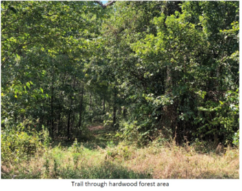 | ||||||||||
| Seven Pines at Broad Water Creek | Historic Area Preservation | FY25 | 23.99 | Henrico County | Capital Region Land Conservancy | Private | Capital Region Land Conservancy | 37.529144 | -77.295753 | Capital Region Land Conservancy (CRLC) was awarded funding to record a conservation easement on approximately 24 acres in Henrico County within the core battlefield area of the Battle of Seven Pines. Funding would be used to match an anticipated grant from the National Park Service's American Battlefield Protection Program. The preservation of this property will protect core battlefield acreage, as well as a natural area within an otherwise urban and quickly developing area of Henrico County. In addition, there are substantial floodplains and wetlands located on the property that are considered predicted habitat for swamp-pink, a rare plant. Providing a 100-foot forested buffer along Broad Water Creek will enhance water quality and benefit wildlife habitat. Upon recording the conservation easement with the Board of Historic Resources, CRLC plans to transfer the property to the Richmond Battlefields Association to own and operate as a public park. |
   | ||||||||||
| Shiflett II Tract - Piedmont Battlefield | Historic Area Preservation | FY26 | 87.71 | Augusta County | Virginia Board of Historic Resources | Private | Shenandoah Valley Battlefields Foundation | -78.904737 | 38.216205 | The 88-acre Shiflett II Tract is within the Core Area of the Piedmont Battlefield in Augusta County. The property is actively farmed and contains open pastureland, and forestland along with one-half mile of frontage on the Middle River. The Shenandoah Valley Battlefields Foundation received funding to acquire the property and place it under an open-space easement with the Virginia Board of Historic Resources. Public access will be allowed 365 days per year. |
   | ||||||||||
| Shiflett Tract at Piedmont Battlefield | Historic Area Preservation | FY23 | 141.39 | Augusta County | Virginia Board of Historic Resources | Private | Shenandoah Valley Battlefields Foundation | 38.222181 | -78.899663 | Shenandoah Valley Battlefields Foundation utilized VLCF funding to acquire a historic preservation and open-space easement on the 141-acre Shiflett Tract in Augusta County. SVBF conveyed the easement to the Va. Board of Historic Resources. The property makes up the heart of the Piedmont Battlefield along the Middle River south of Grottoes. The Union victory at the Battle of Piedmont led to the fall of Staunton and the burning of the Virginia Military Institute. This project marks SVBF’s first opportunity to preserve a large tract of battlefield land in Augusta County and on the Piedmont Battlefield. Currently, the site is a farm with crops and cattle grazing as it has been since the Civil War. The farm has 2,700 feet of river frontage and a small intermittent stream that feeds into the Middle River. The success of this project has opened the door for conversation with the landowner to conserve the adjoining 400 acres. |
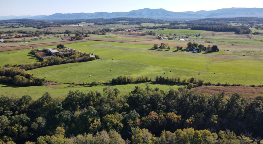 | ||||||||||
| Shooting Creek | Forestland Preservation | FY25 | 674.68 | Patrick County | Virginia Department of Forestry | Private | Virginia Department of Forestry | 36.855383 | -80.153802 | Located along the Patrick and Franklin County border, this property contains 675 acres of mountainous forestland. With 98.6% forest coverage, this property boasts 82.89% “Very High” Forest Conservation Values and 9.72% “High” Forest Conservation Value. Almost the entire property lies within the “C1: Outstanding” ecological core distinction.The Shooting Creek property contains tributaries that feed the DCR-designated Smith River North Stream Conservation Site, classified as B2: High Priority, due to the state and federally endangered occurrences of the Roanoke Logperch. Used primarily for hunting, the landowner wishes to forever protect this property that can be traced in the family back to the early 1700s. The landowners are very proud of the history of this property and the inhabitants that have lived here throughout the centuries. This family truly loves calling this home and are adamant stewards of the land. The protection of this property will further protect the ecological and historical integrity of the region and the headwaters that feed Philpott Lake. In addition to that, the protection of this property will further serve to let the wildlife habitat thrive. |
  | ||||||||||
| Short Hills Tract | Open Spaces and Parks | FY09 | 4232 | Rockbridge County | Virginia Department of Game and Inland Fisheries | State | Wildlife Foundation of Virginia | 37.67700926 | -79.593622 | Wildlife Foundation of Virginia acquired 4,232 acres in Rockbridge and Botetourt Counties as a Wildlife Management Area with the assistance of a grant award of $239,500. The land is currently owned and managed by the Dept. of Game and Inland Fisheries, and is open to the public. Cedar Creek, a state impaired water, which can support both freshwater fishing (native brook trout) and bank swimming opportunities runs through the property. Broad Creek, a tributary of Maury River also transects the property. |
 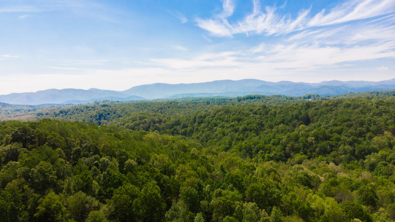 | ||||||||||
| Siegen Forest | Historic Area Preservation | FY22 | 170.00 | Orange County | Virginia Board of Historic Resources | Private | The Germanna Foundation | 38.370385 | -77.775592 | The Siegen Forest project advances the preservation of important archaeological artifacts and assists in preserving undeveloped park lands in Orange County. The Siegen Forest easement encompasses 170 acres of both floodplain and upland mature forest that borders the Rapidan River for 1.4 miles. Significant archaeological artifacts found on the property include remains of an early 19th century mill, along with the mill race, rifle pits from the Civil War, a cemetery and a 1920s navigational marker. The property was part of the advance/retreat portion of the Wilderness Battlefield and includes seven miles of walking trails, along with a Visitor Center telling the story of the diverse people who lived and worked this land from the 18th and 19th centuries. The Germanna Foundation works in partnership with the American Battlefield Trust, Department of Historic Resources and the Piedmont Environmental Council. |
  | ||||||||||
| Smithfield Farm | Farmland Preservation | FY20 | 195 | Clarke County | Clarke County Conservation Easement Authority | Private | Clarke County | 39.170149 | -77.897989 | A permanent conservation easement on this agricultural property, held by Clarke County and the county's Conservation Easement Authority and partially funded by VLCF, protects 73 acres of soils identified as prime, 1.2 acres of unique farmland, and 121 acres of important farmland. In addition, the easement protects a 0.6-mile riparian area along the EPA-designated impaired waterway, Long Marsh Run. The property is a certified Century Farm with structures listed on the Virginia and National Register of Historic Places, with several structures listed as contributing to the Long Marsh Rural Historic District, and public views from Virginia Scenic Byway State Route 603. |
  | ||||||||||
| South Garden International LLC Public Access Land Expansion | Open Spaces and Parks | FY21 Round 2 | 99 | Gloucester County | Middle Peninsula Chesapeake Bay Public Access Authority | Local | Middle Peninsula Chesapeake Bay Public Access Authority | 37.326002 | -76.437178 | MPCBPAA was able to acquire and conserve 99 acres in Gloucester County that doubles the size of public access to state waters of the Middle Peninsula region for residents and visitors. This fee-simple acquisition is adjacent to 96 acres of existing MPCBPAA recreational resources and thus expands recreational interests and conserved land in this area, adding additional opportunities for water access. The property provides a space for scientific research and nature observation to encourage preservation of pristine landscape and ultimately coincides with MPCBPAA efforts and interests to acquire land and to advance the mission of the MPCBPAA. This property will be open daily for public waterfront access. The property is in the Floodplains and Flooding Resilience category of ConserveVirginia. |
   | ||||||||||
| South Quay - Byrd's Point | Natural Area Preservation | FY12 | 443 | Southampton County | Virginia Department of Conservation and Recreation | Private | The Nature Conservancy | 36.57749716 | -76.925377 | The Nature Conservancy received a grant award of $262,500 for the fee simple acquisition of the 443-acre Byrds Point Tract as an addition to the existing 287-acre privately owned South Quay Natural Area Preserve. The tract supports 25 rare species and significant natural communities, provides significant frontage on the Blackwater and Nottoway Rivers, and is part of a 25-mile conservation corridor extending into North Carolina. VLCF funds were matched with funds from a North American Wetlands Conservation Act grant. https://www.dcr.virginia.gov/natural-heritage/natural-area-preserves/southquay |
 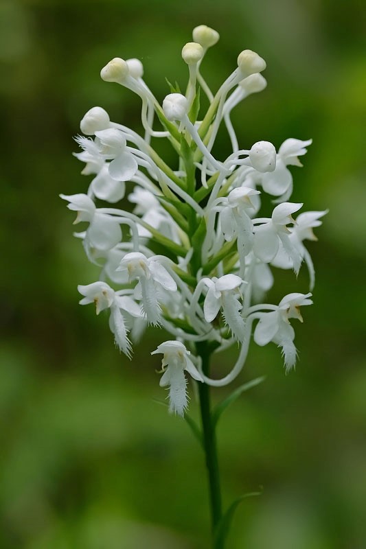  | ||||||||||
| South Quay - Somerton | Natural Area Preservation | FY15 | 166.74 | City of Suffolk | Virginia Department of Conservation and Recreation | Private | The Nature Conservancy | 36.5549032 | -76.892803 | This project protects a 166-acre tract of land adjacent to DCR's 2,882-acre South Quay Sandhills Natural Area Preserve in the city of Suffolk. The property is comprised of approximately 105 acres of pine sandhills habitat and 61 acres of cypress-tupelo swamp forest along Somerton Creek, a major tributary to the Blackwater River. The site is suitable for longleaf pine restoration and is one of the highest priority conservation areas in coastal Virginia for DCR and The Nature Conservancy. Purchase and management of the tract is needed to eliminate the threat of future incompatible land use, particularly sand mining, and to ensure successful restoration of the globally-rare native longleaf pine sandhills habitat. The project builds upon over 4,000 acres of land protection efforts by DCR, The Nature Conservancy (TNC), the Virginia Department of Forestry and the Virginia Department of Game and Inland Fisheries in the South Quay area. TNC was awarded a grant of $70,000 from VLCF to assist in acquiring the property. Ownership of the property was then transferred to DCR. https://www.dcr.virginia.gov/natural-heritage/natural-area-preserves/southquay |
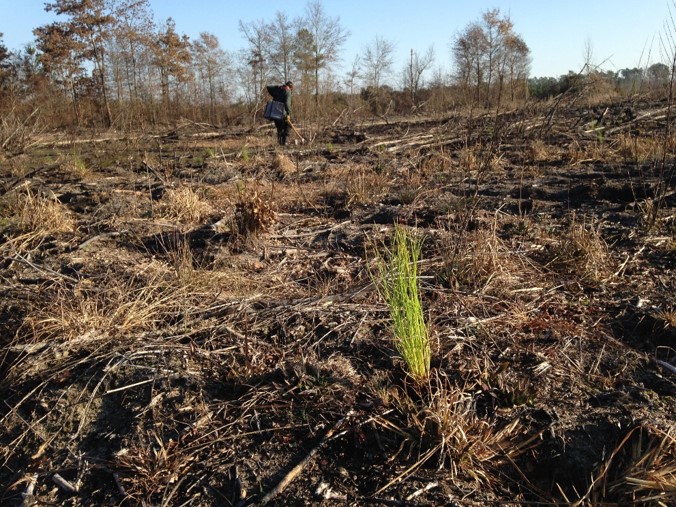 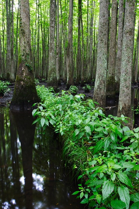 | ||||||||||
| South Quay NAP Phase 2 (withdrawn) | Natural Area Preservation | FY13 | 99 | City of Suffolk | The Nature Conservancy | Private | The Nature Conservancy | 36.58932404 | -76.902127 | In 2009, The Nature Conservancy (TNC) protected 420 acres of forestland in their South Quay - Phase I project funded by a VLCF grant. In the second phase of TNC's South Quay conservation effort, a grant of $155,000 was awarded for the fee-simple purchase of a 99-acre tract that supports a total of eight state rare plant species including 70 acres of Virginia native longleaf pine seedlings planted in 2012. Protection of this tract is an important component in the larger strategy to protect the South Quay conservation site and to restore native longleaf pine sandhill natural communities in Virginia. This project was withdrawn. |
| South Quay Sandhills NAP - Biodiversity, Climate Resilience & Public Access in Chowan River Basin | Natural Area Preservation | FY25 | 1,900.00 | City of Suffolk | Virginia Department of Conservation and Recreation | State | Virginia Department of Conservation and Recreation, Division of Natural Heritage | 36.56873 | -76.838991 | The Department of Conservation and Recreation's Natural Heritage Division (DCR-DNH) was awarded VLCF funding to leverage fee-simple acquisition of approximately 1,900 contiguous acres in the City of Suffolk. DCR-DNH has already received $5,631,150 for this project from a National Oceanic & Atmospheric Administration, Bipartisan Infrastructure Law grant. The subject acreage will protect natural heritage resources within one of the world's documented biodiversity "hotspots", including over 10 miles of streams and over 200 acres of freshwater wetlands. It will create opportunities for one of the state's largest longleaf pine habitat restoration projects and meet an identified need in Virginia's Wildlife Corridor Action Plan. The project will also create opportunities for both water and hiking trail access in a socially disadvantaged and economically underserved region and provide the impetus for novel tribal engagement. Taken together, this project supports over a dozen local, regional, and interstate conservation plans and partnerships including interstate goals of watershed protection within the Albemarle-Pamlico watershed and a congressionally designated estuary of national significance. |
   | ||||||||||
| South Quay Sandhills Natural Area Preserve Ph. I Add. (supplemental funding) | Natural Area Preservation | FY26 | 846.00 | City of Suffolk | VA Dept. of Conservation and Recreation - Department of Natural Heritage | State | VA Dept. of Conservation and Recreation - Department of Natural Heritage | -76.848734 | 36.566922 | The Department of Conservation and Recreation's Division of Natural Heritage (DNH), with the assistance of The Nature Conservancy (TNC), was awarded supplemental funding for their FY25 VLCF grant for the fee-simple purchase of approximately 847 acres in the City of Suffolk. This project will accomplish watershed protection goals by protecting over 3.5 miles of streams and 146 acres of freshwater wetlands. The project will also protect significant natural heritage resources, create opportunities for one of the state's most significant longleaf pine habitat restoration projects, and provide the impetus for engaging Tribal Nations and citizens in a socially disadvantaged and economically underserved region. |
  | ||||||||||
| Southampton 900 (FY24) | Forestland Preservation | FY24 | 900 | Southampton County | Virginia Department of Forestry | Private | Virginia Department of Forestry | 36.747289 | -76.913031 | The Southampton 900 tract makes up 900 acres of a larger 1,200 privately-owned property. The property has approximately 371 acres of riverfront wetlands and 3.57 miles of State Scenic Blackwater River frontage. The Department of Forestry received a VLCF grant to conserve the property’s working forestlands. The bottomland forests along the Blackwater River are within areas designated by DCR's Virginia Natural Landscape Assessment (VaNLA) as ecological cores ranked C2 (Very High), with other forested areas on the property designated as C4 (Moderate) and C5 (General). ConserveVirginia indicates that the Blackwater River, Cattail Swamp, Black Creek, and Cypress Swamp and unnamed tributaries are important for Natural Habitat and Ecosystem Diversity, Water Quality Improvement, Scenic Preservation, and Floodplains and Flooding Resilience. The easement will require 100-foot forested buffers along the main stem of the river. |
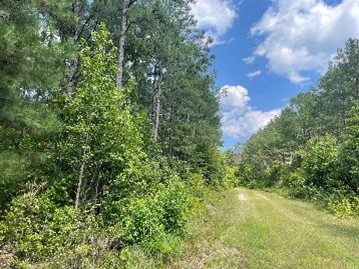 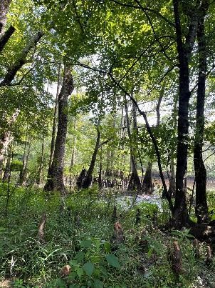 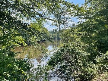 | ||||||||||
| Southampton 900 (FY25) | Forestland Preservation | FY25 | 900.00 | Southampton County | Virginia Department of Forestry | Private | Virginia Department of Forestry | 36.747304 | -76.913033 | The Department of Forestry was awarded grant funds for Southampton 900, a 900-acre parcel in Southampton County with approximately 371 acres of riverfront wetlands and 3.57 miles of State Scenic Blackwater River frontage. The property contains valuable working forestlands and bottomland forests along the Blackwater River within areas designated by DCR's Virginia Natural Landscape Assessment (VaNLA) as ecological cores ranked C2 (Very High). This same area is also designated as a VaNLA corridor and part of the Natural Land Network. Additionally, other forested areas on the property are designated as C4 (Moderate) and C5 (General) indicating these portions of the property are likely to be ecologically intact, and thus support several habitat and ecosystem functions. This project received a grant from VLCF in FY24 for $164,450. |
  | ||||||||||
| Southern Branch of the Elizabeth River (withdrawn) | Open Spaces and Parks | FY25 | 96.00 | City of Chesapeake | City of Chesapeake | Local | City of Chesapeake | 36.747718 | -76.301124 | This 96-acre project is located in the City of Chesapeake along the Southern Branch of the Elizabeth River. Wetlands cover 68% of the property, with approximately 8 acres designated as a wetlands bank. The objective of the project was to protect the wetlands – and thus protect improved water quality, floodplains and flooding resilience, protect the ecological integrity along the Elizabeth River, and to provide recreation opportunities and public waterfront access. This project was withdrawn. |
  | ||||||||||
| Southside VA Conservation & Recreation Complex | Natural Area Preservation | FY21 Round 1 | 2,010 | Halifax County | Virginia Department of Conservation and Recreation - Natural Heritage | Virginia Department of Conservation and Recreation - Natural Heritage | 36.704249 | -78.719981 | The Southside Virginia Conservation & Recreation Complex in Halifax County near Scottsburg is the Department of Conservation and Recreation's first joint State Parks Division and Natural Heritage Division acquisition project. Approximately 2,010 acres of highly significant conservation land were acquired with this project. Ultimately, DCR intends to acquire the entire property in three phases over the next several years. When all phases are complete, this 7,400 acre, multi-phase transaction will create a protected corridor connecting Kerr Lake, Staunton River State Park, and Difficult Creek Natural Area Preserve. This project will result in opportunities to restore Piedmont natural habitats at an unprecedented scale, and support the local economy by meeting growing demands for recreational trails and water access. This "Phase 1" acquisition of 2,010 acres adjoining Staunton River State Park, intersects three mapped conservation sites, including four essential natural heritage resources, four additional heritage resources, as well as cultural resources. | |
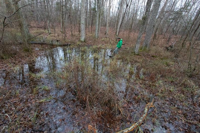 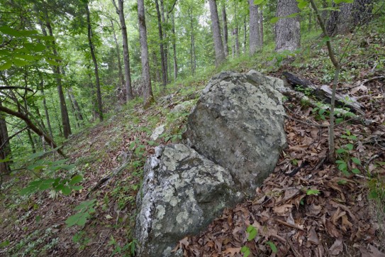 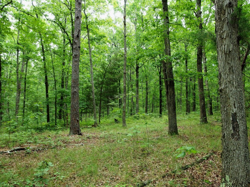 | ||||||||||
| Springdale Regional Park | Open Spaces and Parks | FY16 | 149.51 | Loudoun County | Northern Virginia Regional Park Authority | Local | Northern VA Regional Park Authority | 39.25774157 | -77.534029 | Grant funds were requested by Northern Virginia Regional Park Authority to acquire 149.51 acres of land with 2,080 linear feet of frontage on the Potomac River. The property fronts on Route 15 in northern Loudoun County and includes over 7,000 linear feet of streams and 15.8 acres of wetlands. The project is within the Potomac Heritage National Scenic Trail and the Journey through Hallowed Ground National Heritage Area. With the assistance of a $300,000VLCF grant the property has become a regional park open to the public, with passive recreational uses such as hiking, wildlife observation, fishing, and picnicking. |
| Stanley Hall at New Market Battlefield | Historic Area Preservation | FY24 | 9.54 | Shenandoah County | Shenandoah Valley Battlefields Foundation | Private | Shenandoah Valley Battlefields Foundation | 38.654913 | -78.669215 | Stanley Hall sits on 9.54 acres in the Town of New Market, Shenandoah County. The property is believed to have been originally settled by Nicholas Seehorn in the late 19th century. A large spring on the property has been cited as the reason why Seehorn located his dwelling at or near where the present Stanly Hall house sits today. Sometime in the first quarter of the 19th century Samuel and Mary Hupp acquire the property and are believed to have had the Hupp House constructed on the site, which was later used as enslaved persons quarters. This structure is extant today and became one of the domestic support structures for Stanley Hall when it was constructed in 1834. It is important to note that the man who had Stanley Hall constructed, Dr. John W. Rice, had major impacts on the history of the region, the Commonwealth, and the country. The most significant and far reaching of these impacts was his role as the founder and long-time president of the Valley Turnpike company, that constructed what, at the time, was one of the most technically advanced roadways in the world and what became one of the most important transportation routes in US history. |
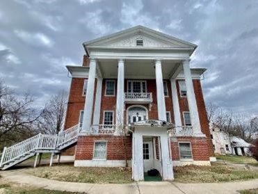 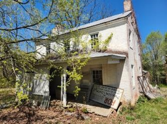 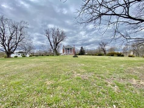 | ||||||||||
| Stanley Land and Lumber | Forestland Preservation | FY20 | 5004 | Charlotte County | Virginia Department of Forestry | State | The Conservation Fund | 36.983701 | -78.653918 | Located at the confluence of Roanoke and Wards Ford Creeks, the Stanley Land and Lumber project protected 5,004 acres of unparalleled forest habitat through the creation of the new Charlotte State Forest. The Conservation Fund acquired the property and held it until funding became available to transfer the land to the Virginia Department of Forestry for long-term stewardship and management as Virginia’s 26th sustainably managed state forest. The property provides a unique snapshot of Virginia forest types and includes loblolly pine plantings, significant mature hardwood stands and native mixed-pine stands, as well as more than 900 acres of forested wetlands that provide waterfowl habitat. |
| Stoner-Keller (withdrawn) | Historic Area Preservation | FY21 Round 1 | 120.27 | Shenandoah County | Shenandoah Valley Battlefields Foundation | Private | Shenandoah Valley Battlefields Foundation | 38.984697 | -78.411217 | Grant funds were awarded to Shenandoah Valley Battlefields Foundation (SVBF) to place an easement over the 120-acre Stoner-Keller property in Shenandoah County, which is entirely within the core of the Fisher’s Hill Battlefield and the study area of the Cedar Creek Battlefield. Fishers Hill, including land that is part of this project, was used as a Confederate defensive position multiple times throughout the Civil War. The Stoner-Keller property is adjacent to 383 acres of conserved land. This project was withdrawn. |
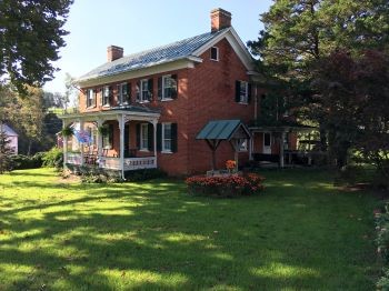 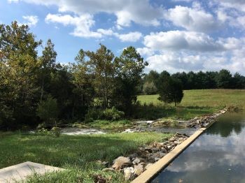 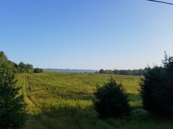 | ||||||||||
| Stoner-Keller Mill Farm (withdrawn) | Historic Area Preservation | FY15 | 104 | Shenandoah County | Shenandoah Valley Battlefields Foundation | 38.9847187 | -78.411201 | Shenandoah Valley Battlefields Foundation was awarded $200,000 in funding for acquisition of an easement on a 104-acre parcel of land located within the core area of the Fisher's Hill Battlefield. Acquisition and permanent protection of the parcel would protect intact earthworks associated with the battle and the Stoner-Keller House and mill, a property listed on the National Register of Historic Places. In addition, the farm property contains prime farmland and farmland of statewide importance as well as over 4,000 feet of 35-foot riparian vegetated buffers. The easement would also provide more than one-mile of right-of-way for the Shenandoah Valley Battlefields Foundation Valley Pike/Fisher's Hill trail which is currently under construction and will link the Fisher's Hill and Cedar Creek battlefields. The parcel is adjacent to battlefield land conserved by the Shenandoah Valley Battlefields Foundation, which already contains a portion of the trail system. This project was withdrawn. | ||
| Stratford Hall Historic Preserve | Open Spaces and Parks | FY26 | 475.00 | Westmoreland County | Virginia Outdoors Foundation and the US Navy | The Trust for Public Land | -76.820788 | 38.159019 | The Trust for Public Land is partnering with the Virginia Outdoors Foundation and the US Navy to acquire a conservation easement with public access over a 475-acre portion of Stratford Hall Historic Preserve located along cliffs high above the Potomac River in Westmoreland County. Although Stratford Hall has numerous historic landmark designations (National Historic Landmark, Virginia Historic Landmark, and National Register of Historic Places), and 1,009-acres of the property are protected through conservation and historic preservation easements held by VOF and Virginia DHR, the 475-acre grant area is currently not protected. The grant project will expand a contiguous block of over 7,200 acres of public and privately conserved lands along this eight-mile stretch of the tidal Potomac River and further conserve the setting of the key historical, cultural and recreational destinations located in the Northern Neck National Heritage Area. The Trust for Public Land received a $665,500 VLCF grant to complete this project. | |
   | ||||||||||
| Sundance Properties | Forestland Preservation | FY13 | 206 | Rockingham County | Virginia Department of Forestry | Private | Virginia Department of Forestry | 38.64647472 | -79.057168 | The Virginia Department of Forestry (DOF) was awarded VLCF funding to help fund the purchase of conservation easement on 206 acres of forestland in Rockingham County. Nearly the entire property is covered in working forests, all of which are classified as having high forest conservation value. The property contains approximately 5,600 feet of the Little Dry River (a primary tributary to the North Fork Shenandoah River) and approximately 4,100 linear feet of upper reaches of Sugar Run (a principal tributary of Little Dry River), contributing to the drinking water sources for the downstream communities of Broadway, Timberville, and New Market. Sixteen natural heritage resources have been identified within two miles of the property, including potential endangered wood turtle habitat along the Little Dry River. The property contributes to a large expanse of unbroken forestland in the area, bounded by the George Washington National Forest on three sides, and within one mile of the 1,100-acre Feedstone Hunt Club land protected by a VDOF open-space easement, a 2009 VLCF project. This project received a grant award of $151,750. |
   | ||||||||||
| Sweet Spring Hollow | Natural Area Preservation | FY07 | 232 | Montgomery County | Virginia Department of Conservation and Recreation/New River Land Trust | Private | New River Land Trust | 37.15501535 | -80.276327 | With a grant award of $225,950, the New River Land Trust purchased an easement on 232 acres in Montgomery County. The site supports a globally rare dolomite woodland and wetland communities and 13 mapped locations of rare plant and animal species. |
| Talbot Farm | Historic Area Preservation | FY00 | 25 | Loudoun County | Virginia Department of Historic Resources/Land Trust of Virginia | Private | Land Trust of Virginia | 39.18270774 | -77.604876 | A $76,350 grant was awarded to the Land Trust of Virginia to purchase a 25-acre easement on Ball's Run Creek including 1,700 feet of creek frontage. The easement enhances and protects water quality in the Catoctin watershed and facilitates efforts to restore the eroded land and creek. |
  | ||||||||||
| Tank Hill | Forestland Preservation | FY25 | 1,491.54 | Dinwiddie County | Virginia Department of Forestry | Private | Virginia Department of Forestry | 37.129923 | -77.759 | The Department of Forestry received a grant to secure a 1,491.40-acre conservation easement to protect working forestland in Dinwiddie County. The project will also protect riparian lands along White Oak Creek, designated as Threatened & Endangered Species Water by the Virginia Department of Wildlife Resources due to the presence of Roanoke Logperch, a state and federally endangered fish. The landowner wants to continue stewarding the land as working forestland and remove the possibility of major development. The project aligns with the locality's comprehensive plan, the Virginia Outdoors Plan, and efforts to protect the flight path between Ft. Barfoot and Ft. Gregg-Adams. This project would more than double VLCF's acres protected in Dinwiddie County. |
  | ||||||||||
| Taylors Mill Farm (FY23) | Forestland Preservation | FY23 | 1145 | Greensville County | Virginia Department of Forestry | Private | Virginia Department of Forestry | 36.564117 | -77.505855 | The 1,145-acre Taylors Mill Farm tract in Greensville County contains 860 acres of high conservation value forest, with 6.8 miles of perennial and intermittent streams and 640 acres of wetlands. The remaining 285 acres are tillable cropland, and found to be Prime Farmland or Farmland of Statewide Importance. An ecological core found on the property is ranked - C1 Outstanding, the highest possible score. This is a family-owned farm that has been in the same family for three generations. The Dept. of Forestry easement protects sensitive bottomlands, requires riparian buffers on perennial streams, and ensures that future generations may continue to own and manage its farmlands and forests in perpetuity. |
  | ||||||||||
| Taylors Mill Farm, Additional Funding Request (FY24) | Forestland Preservation | FY24 | 1145 | Greensville County | Virginia Department of Forestry | Private | Virginia Department of Forestry | 36.564128 | -77.505855 |
|
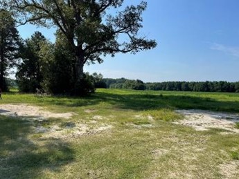 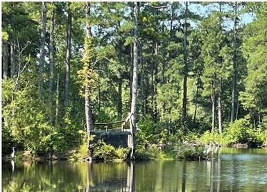 | ||||||||||
| The Big Survey | Forestland Preservation | FY00 | 0 | Wythe County | Virginia Department of Game and Inland Fisheries | State | Western Virginia Land Trust | 36.94732226 | -81.077023 | A $50,000 VLCF grant was awarded to the Western Virginia Land Trust for the survey needed to purchase 9,270 acres of undeveloped lands in Wythe County for the protection of the watershed, forestal lands, wildlife, and recreational use. |
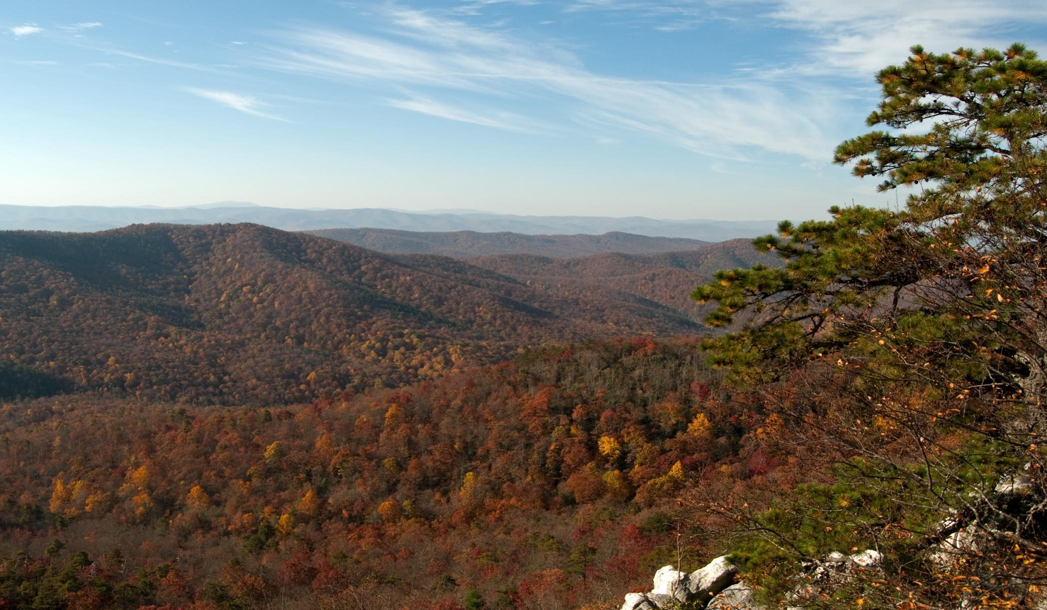 | ||||||||||
| The Campbell County Training School Complex Restoration Project (withdrawn) | Historic Area Preservation | FY22 | 8.95 | Campbell County | Virginia Board of Historic Resources | Private | Campbell County Training School Complex, Inc. | 37.278134 | -79.089603 | VLCF funding was provided to help protect this historic nine-acre property with an easement, held by the Board of Historic Resources. The complex consists of four original one-story buildings listed on Virginia and the National Historic Registries, including the original two-room classroom building. A larger community effort is in place to restore and develop the The Campbell County Training School Complex property. Efforts include structure restoration, as well as development of outside spaces to encourage outdoor recreational activities, community gatherings, walking trails, outdoor classes, archaeological digs and more. This project was withdrawn. |
  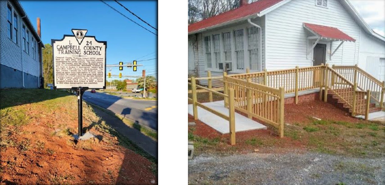 | ||||||||||
| The Cedars | Natural Area Preservation | FY16 | 66.78 | Lee County | Virginia Department of Conservation and Recreation | State | Virginia Department of Conservation and Recreation | 36.65372413 | -83.212307 | DCR's Natural Heritage Program received funding to purchase in fee approximately 67 acres from three landowners within the Cedars region of Lee County as additions to The Cedars Natural Area Preserve. The Cedars region is one of the most biologically diverse places in North America. Within this roughly 50 square mile area, the Natural Heritage Program has documented 224 occurrences of 93 unique elements of rare plants and animals, significant terrestrial communities, biologically significant caves and freshwater communities. Throughout the region, key tracts are continuously at risk to conversion to intensive uses which diminish the rich biodiversity. DCR received a grant award of $221,700 to assist in acquiring the properties to mitigate against those threats and restore parts of the landscape that have been converted to incompatible uses. https://www.dcr.virginia.gov/natural-heritage/natural-area-preserves/thecedars |
  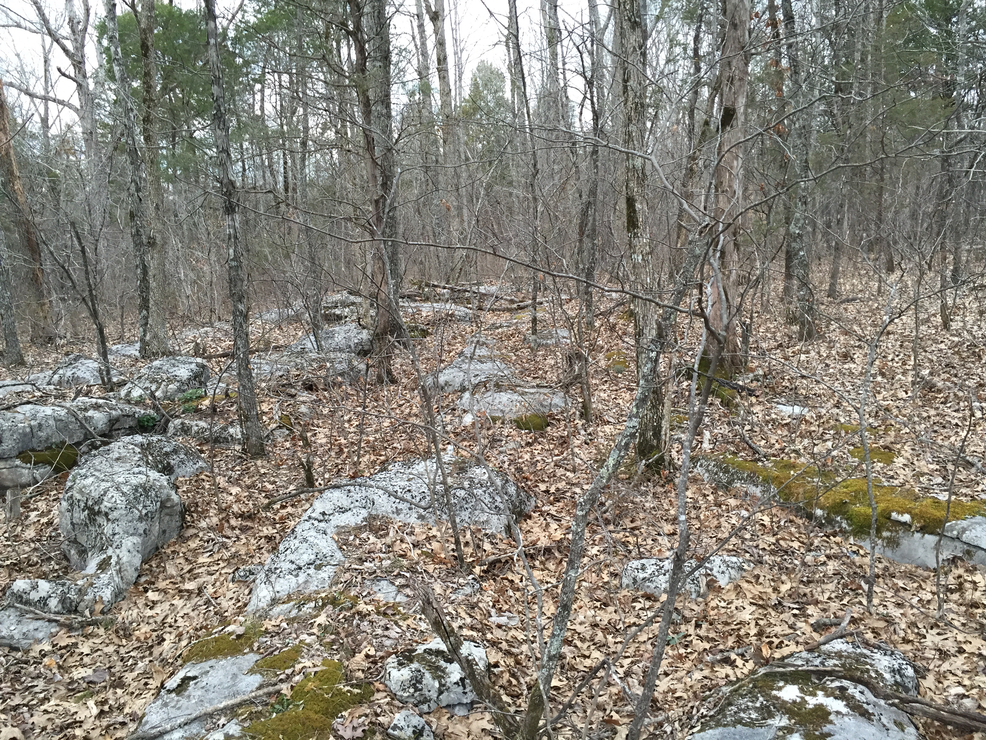 | ||||||||||
| The Cedars Natural Area Preserve Powell River Addition (withdrawn) | Natural Area Preservation | FY22 | 205.00 | Lee County | Virginia Department of Conservation and Recreation | State | Virginia Department of Conservation and Recreation - Natural Heritage Program | 36.640768 | -83.171262 | DCR’s Natural Heritage Division received VLCF funds to match a federal grant for the acquisition of 205 acres in Lee County as an addition to the Cedars Natural Area Preserve. The property lies within the Powell Ford Woodlands Conservation Site and borders the Powell River for approximately two miles on a section designated as the Powell River – Wallen Creek to Sewell Bridge Stream Conservation Unit. Acquisition of the tract would protect newly discovered populations of four significantly rare plant species, the headwaters and outflow of a natural spring with an unnamed (possibly new to science) isopod, and removed cattle grazing from the extensive riparian zone along the Powell River where a suite of rare mussels, fish and other aquatic species are known to occur. This project was withdrawn. |
  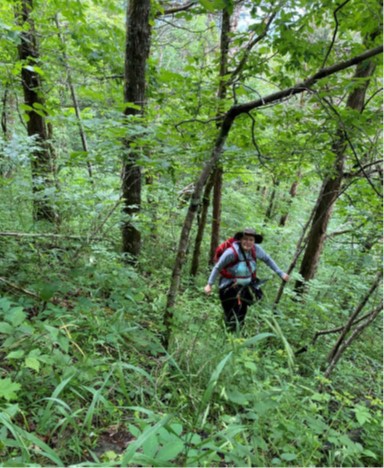 | ||||||||||
| The Cedars Natural Area Preserve: Kinzer Hollow Cave | Natural Area Preservation | FY21 Round 2 | 77 | Lee County | Virginia Department of Conservation and Recreation - Natural Heritage Division | State | Virginia Department of Conservation and Recreation - Natural Heritage Division | 36.673037 | -83.227651 | DCR’s Natural Heritage Division utilized funding for the fee-simple acquisition of 77 acres as an addition to the Cedars Natural Area Preserve in Lee County. The subject property supports several rare plants, foraging habitat for endangered Gray Bats, and Kinzer Hollow Cave, home to the globally rare Powell Valley Terrestrial Cave Isopod (Amerigoniscus henroti). An underground stream within the cave drains to the Powell River, which supports a host of Species of Greatest Conservation Need. Acquisition of the property will also provide long needed management access in support of prescribed burning efforts on the adjoining Dry Creek Barrens. There is no other place in Virginia that includes such a diverse and significant array of terrestrial, aquatic, and cave and karst resources. For over 25 years, DCR has been stitching together small parcels to protect these resources and build a functional and resilient natural area. |
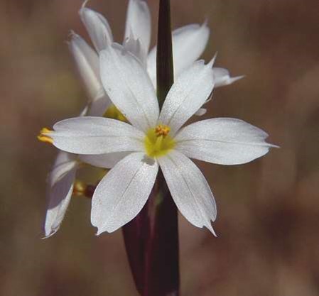 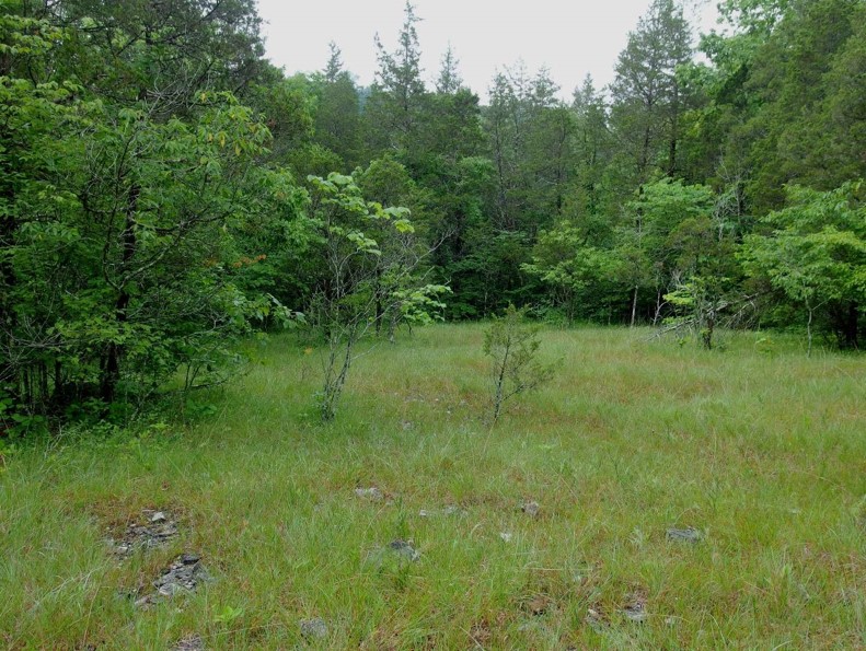  | ||||||||||
| The Cedars Natural Area Preserve: Northeast Addition (withdrawn) | Natural Area Preservation | FY21 Round 2 | 63 | Lee County | Virginia Department of Conservation and Recreation - Natural Heritage Division | State | Virginia Department of Conservation and Recreation - Natural Heritage Division | 36.666723 | -83.181297 | The Department of Conservation and Recreation’s Natural Heritage Division received funds for the fee-simple acquisition of 63 acres as an addition to the Cedars Natural Area Preserve in Lee County. The tract supports several rare plants, caves, and groundwater quality of the Powell River and was one of the first identified conservation priorities in the 1990s. For over 25 years, DCR has been stitching together small parcels to protect these resources and build a functional and resilient natural area. These lands also harbor a rich cultural heritage dating back to Native Americans and later, frontiersmen such as Daniel Boone and the waves of pioneers that traveled the Wilderness Road on their way west through Cumberland Gap. This project was withdrawn. |
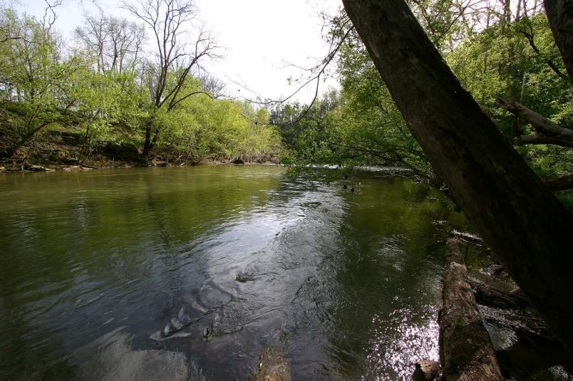 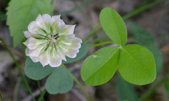 | ||||||||||
| The Green at the Science Museum of Virginia (FY21 Round 2) (withdrawn) | Open Spaces and Parks | FY21 Round 2 | 5.20 | City of Richmond | Virginia Outdoors Foundation | State | Virginia Outdoors Foundation | 37.560893 | -77.466498 | The Virginia Outdoors Foundation and the Science Museum of Virginia in Richmond proposed an innovative partnership that would allow the Museum to convert a surface parking lot at its historic Broad Street Station into an urban park. The proposed 5.2-acres was to be protected in perpetuity as open space providing recreational and environmental benefits. The project would incorporate and demonstrate science-based, natural solutions to the effects of climate change while addressing the growing need for open green space in an area under intense development pressure. Transferring control of the parcel to VOF under the Open Space Land Act would protect it in perpetuity from the threat of future development and will provide necessary capital for its transformation into a high-quality public park and sustainable landscape. This project was withdrawn. |
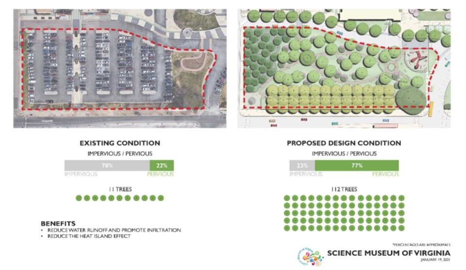 | ||||||||||
| The Green at the Science Museum of Virginia (FY22) (withdrawn) | Open Spaces and Parks | FY22 | 5.20 | City of Richmond | Virginia Outdoors Foundation | State | Virginia Outdoors Foundation | 37.560891 | -77.4665 | The Virginia Outdoors Foundation and the Science Museum of Virginia in Richmond proposed an innovative partnership that would allow the Museum to convert a surface parking lot at its historic Broad Street Station into an urban park. The proposed 5.2-acres was to be protected in perpetuity as open space providing recreational and environmental benefits. The project would incorporate and demonstrate science-based, natural solutions to the effects of climate change while addressing the growing need for open green space in an area under intense development pressure. Transferring control of the parcel to VOF under the Open Space Land Act would protect it in perpetuity from the threat of future development and will provide necessary capital for its transformation into a high-quality public park and sustainable landscape. This project was withdrawn. |
 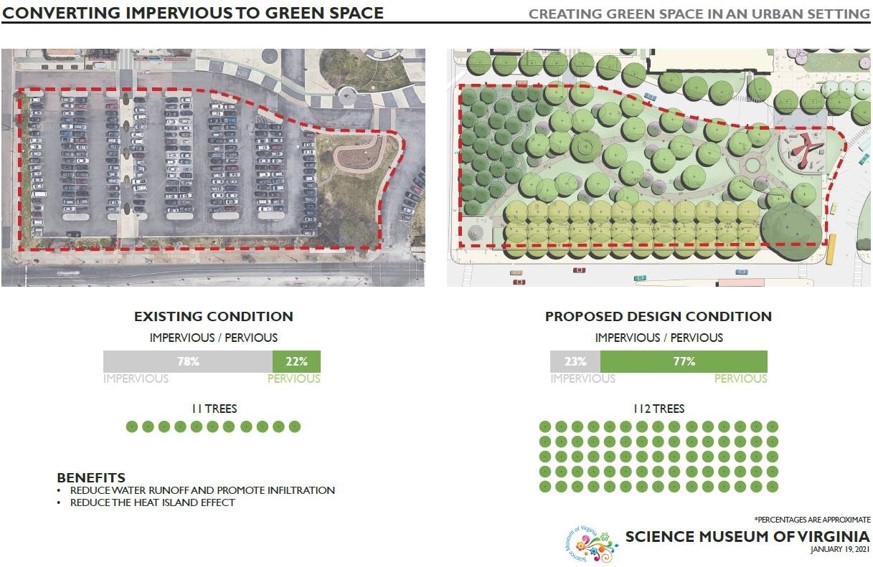 | ||||||||||
| The Meadow | Forestland Preservation | FY01 | 535 | King William County | Virginia Outdoors Foundation | Private | Virginia Outdoors Foundation | 37.83038589 | -77.133521 | A $359,625 grant was awarded for an easement on a 535-acre property that protects a working farm and significant forestland in King William County. The property is located approximately one mile from the 378-acre Zoar State Forest. The protection of this property creates a block of approximately 1,315 acres of permanently protected property with the added benefit of protecting one mile of property along the Mattaponi River. |
| Third Winchester | Historic Area Preservation | FY00-01 (Civil War Battlefield Grant) | 222 | Frederick County | Private | 39.20123674 | -78.137367 | A $700,000 grant was awarded to a private non-profit organization to acquire 222 acres of threatened Civil War Battlefields. The grant was used as match for a Land and Water Conservation Fund grant under the American Battlefield Protection Program for Civil War Battlefield Land Acquisition, awarded by the National Park Service. | ||
| Thomas Neck Family Farm | Farmland Preservation | FY22 | 840.60 | Essex County | Virginia Outdoors Foundation | Private | Virginia Outdoors Foundation | 38.0582 | -76.956044 | Virginia Outdoors Foundation worked with Thomas Neck Family Farm to conserve 840 acres of working farmland, including 90 acres of high conservation value forest located within the Occupacia-Rappahannock Rural Historic District in Essex County. A VOF conservation easement over the property ensures the protection of: water quality within the Chesapeake Bay watershed; flood and coastal resilience; and natural habitat for wildlife and plants. The property has been farmed by the same family for more than 50 years, presently in accordance with a nutrient management plan for crops such as wheat, soybeans and corn. The farm is located within the Lower Rappahannock River Audubon Important Bird Area and the federally designated boundary of the Rappahannock River National Wildlife Refuge. |
 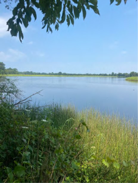 | ||||||||||
| Three Creek Capron | Forestland Preservation | FY21 Round 2 | 382 | Southampton County | Virginia Department of Forestry | State | Virginia Department of Forestry | 36.733947 | -77.288669 | The Virginia Department of Forestry received funding in two grant rounds (FY2021 Round II - $200,000; FY2023 - $36,054) to acquire an open-space easement over the Three Creek – Capron project properties to permanently protect riparian forest habitat and ensure continued use of upland acreage for commercial timber management. The 382-acre tract is fully forested with 1.8 miles of stream frontage on Three Creek, the largest blackwater tributary of the Nottoway River. The tract is comprised of roughly 300 acres of forested wetlands and 75 acres of upland pine forest. Forest cover in the expansive Three Creek riparian corridor provides important terrestrial wildlife habitat and helps regulate water flows and water quality critical for aquatic system health of Three Creek and downstream reaches of the Nottoway River. The tract’s forest cover has a Forest Conservation Value ranked as outstanding, and 45 percent of the tract is ranked as class IV (high) Watershed Model Conservation Priority. Over 70 percent of this tract falls in a C3 (high) Ecological Core. |
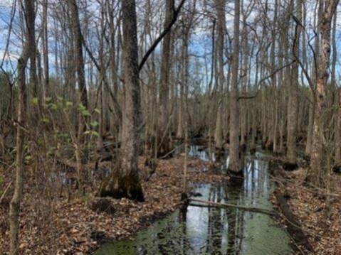 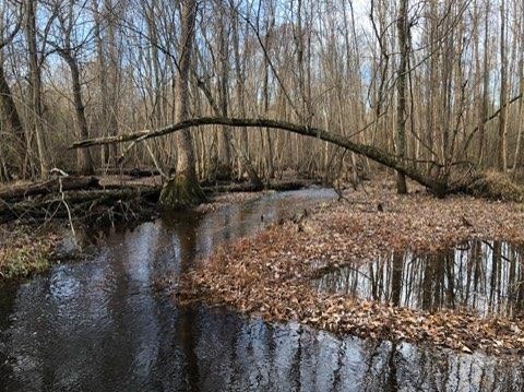 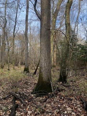 | ||||||||||
| Three Creek Capron Phase II (FY23) | Forestland Preservation | FY23 | 382 | Southampton County | Virginia Department of Forestry | Private | Virginia Department of Forestry | 36.734031 | -77.288778 | The Virginia Department of Forestry received funding in two grant rounds (FY2021 Round II - $200,000; FY2023 - $36,054) to acquire an open-space easement over the Three Creek – Capron project properties to permanently protect riparian forest habitat and ensure continued use of upland acreage for commercial timber management. The 382-acre tract is fully forested with 1.8 miles of stream frontage on Three Creek, the largest blackwater tributary of the Nottoway River. The tract is comprised of roughly 300 acres of forested wetlands and 75 acres of upland pine forest. Forest cover in the expansive Three Creek riparian corridor provides important terrestrial wildlife habitat and helps regulate water flows and water quality critical for aquatic system health of Three Creek and downstream reaches of the Nottoway River. The tract’s forest cover has a Forest Conservation Value ranked as outstanding, and 45 percent of the tract is ranked as class IV (high) Watershed Model Conservation Priority. Over 70 percent of this tract falls in a C3 (high) Ecological Core. |
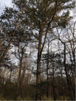 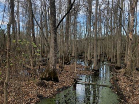 | ||||||||||
| Threewitts Farm LLC | Forestland Preservation | FY26 | 672.00 | Surry County | Virginia Department of Forestry | Private | Virginia Department of Forestry | -76.959194 | 37.040505 | Threewitts LLC will place a Virginia Department of Forestry open-space easement on 672 acres in Surry County, adjacent to the Dendron Swamp Natural Area Preserve. This project will serve as a buffer to the preserve, and is part of the targeted management area designated by DCR’s Natural Heritage Program. This property is an active Century Farm with 450 acres of forestland, 200 acres of farmland, 200 acres of wetlands, and over 11,000 feet of frontage on the Blackwater River. The Virginia Department of Forestry received a $450,000 grant for this project. |
   | ||||||||||
| Tobacco Heritage Trail - Phase 2 | Open Spaces and Parks | FY06 | 240 | Halifax County | Virginia Department of Conservation and Recreation | Private | Roanoke River Rails-to-Trails | 36.64142191 | -79.098956 | VLCF funding of $386,375 was awarded to Roanoke River Rails-to-Trails to acquire a 20-mile segment of the former Richmond & Danville Railroad in Halifax County. A portion of the segment (13 miles) is for open-space conservation purposes. https://tobaccoheritagetrail.org/ |
| Totopotomoy Battlefield | Historic Area Preservation | FY01 | 124 | Hanover County | Association for the Preservation of Virginia Antiquities | Historic Polegreen Church Foundation | 37.65563844 | -77.347702 | A $323,000 grant was awarded to Historic Polegreen Church Foundation for acquisition of 124 acres in Hanover County by the Totopotomoy Battlefield at Rural Plains Foundation (TBRPF). The land contains a portion of the Totopotomoy Battlefield, including Union and Confederate earthworks. The property also includes Rural Plains, a 17th century house which has been in the same family since its construction, the location of Patrick Henry's wedding, and a Union headquarters during the Civil War. | |
| Trevilian Station Battlefield (Riveroak) | Historic Area Preservation | FY05 | 583.31 | Louisa County | Virginia Department of Historic Resources/Virginia Outdoors Foundation | Private | Trevilian Station Battlefield Foundation | 38.07232629 | -78.069149 | A $200,000 grant was awarded to Trevilian Station Battlefield Foundation to facilitate the purchase in fee of 583 acres at Trevilian Station Battlefield in Louisa County. The purchase complements 632 acres already owned by the Foundation, which has been placed under easement to Virginia Outdoors Foundation. The land was owned by a timber company, which had been marketing it as an ideal commercial location with rail access. Long-term plans include development of walking and riding trails and an on-site museum. |
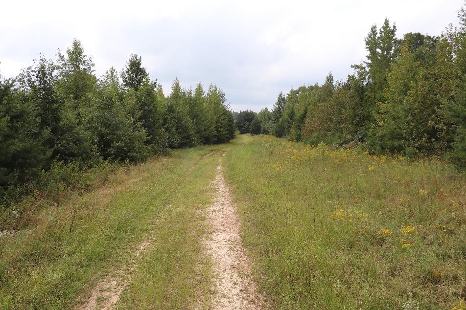 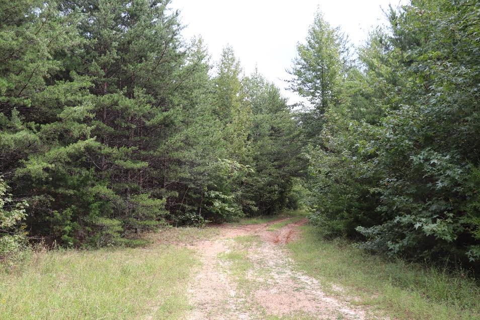 | ||||||||||
| Turner Tract at the North Anna Battlefield | Historic Area Preservation | FY18 | 123.16 | Hanover County | Virginia Department of Historic Resources | Private | Civil War Trust | 37.88189532 | -77.4669 | The Civil War Trust (CWT) was awarded $238,800 in grant funding to acquire approximately 123 acres in Hanover County containing farmland, wooded cover, wetlands, and 1,278 linear feet of frontage on the North Anna River. The property lies within the core area of the Civil War Battle of North Anna (1864). Additional historically significant resources associated with the property include the circa mid-19th century brick dwelling known as the "Fox House/Ellington," which played a pivotal role in the 1864 battle, a circa early 19th century brick school house, a cemetery, earthworks, and the location of the historic Chesterfield Bridge crossing. CWT intends to rehabilitate the dwellings and interpret the property with signage, pathways, and tours. The project protects an architecturally and historically significant site while also providing public access and encouraging heritage tourism. |
  | ||||||||||
| Unthanks Cave | Natural Area Preservation | FY09 | 140 | Lee County | Virginia Department of Conservation and Recreation | State | The Nature Conservancy | 36.61295817 | -83.227826 | A grant award of $150,500 helped fund the fee-simple acquisition by The Nature Conservancy of 140 acres to be added to the Unthanks Cave NAP and transferred at a later date to DCR. The site is part of one of Virginia's most significant cave systems and supports three globally rare cave communities and three globally rare cave invertebrates, and a sinking stream that feeds directly into the cave. VLCF funds were matched with USF&WS Powell River Watershed funds. https://www.dcr.virginia.gov/natural-heritage/natural-area-preserves/thecedars |
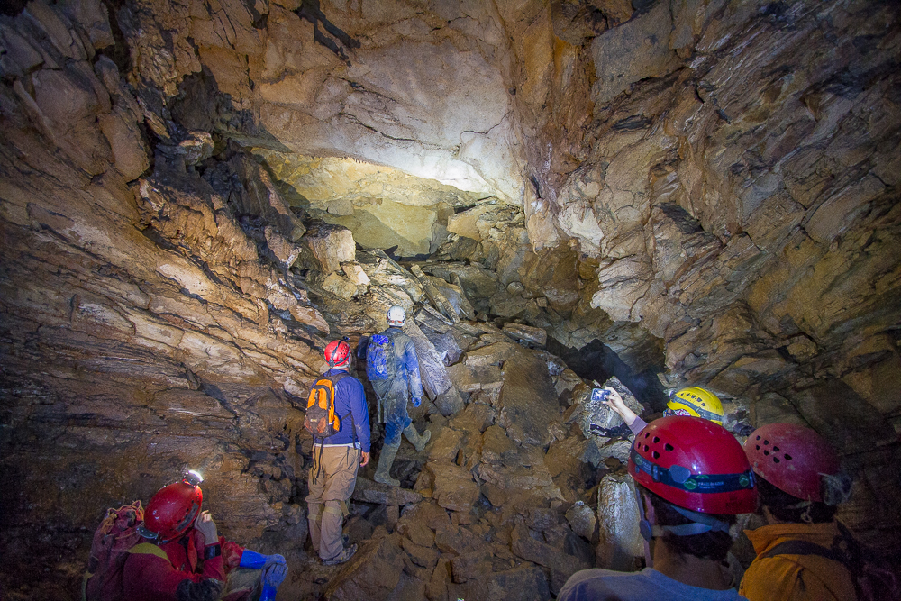 | ||||||||||
| Upper Hoskins Creek | Forestland Preservation | FY12 | 211.7 | Essex County | Virginia Department of Forestry | Private | Virginia Department of Forestry | 37.92099074 | -76.901114 | Virginia Department of Forestry was awarded a grant of $137,000 to purchase a conservation easement on 211.7 acres of forestland in Essex County. The property is bounded by Hoskins Creek to the north and east for a distance of 1.3 miles. Hoskins Creek, a navigable tidal waterway, is a tributary of the Rappahannock River. This easement includes extensive riparian buffers on tidal and freshwater creeks, protecting both water quality and the view from Hoskins Creek. |
    | ||||||||||
| Valley Pike Farm (FY17) | Farmland Preservation | FY17 | 152.8 | Rockingham County | Virginia Outdoors Foundation | Private | Valley Conservation Council | 38.55890734 | -78.761193 | Valley Conservation Council received funding for the purchase of development rights and placement of a conservation easement to be held by the Virginia Outdoors Foundation on a 153-acre family farm with productive agricultural soils, wildlife habitat, and scenic views from U.S. Highway 11 and Interstate 81. Valley Pike Farm is located in Rockingham County and is a Virginia Century Farm that has been in continuous ownership and operation by the same family for over 100 years. Protection of Valley Pike Farm now protects nearly 100 acres of prime and statewide important soils that is currently producing soybeans, barley, corn, sweet corn and hay along with grazing beef cattle on pasture lands. This project received a grant award of $200,000. |
   | ||||||||||
| Valley Pike Farm (FY18) | Farmland Preservation | FY18 | 85.89 | Rockingham County | Virginia Outdoors Foundation | Private | Valley Conservation Council | 38.56358349 | -78.760499 | This grant award of $116,100 funded partial purchase of a conservation easement held by the Virginia Outdoors Foundation (VOF) on an active 86-acre family farm that raises poultry, beef cattle, corn, soybeans, barley and hay in Rockingham County. Valley Pike Farm, Inc. is a Virginia Century Farm that has been in continuous ownership and operation by the same family for over 100 years. Protection of this property conserves 78 acres of prime and statewide important agricultural soils on a farm that utilizes best management practices to protect the soil and improve water quality within the Smith Creek watershed. |
  | ||||||||||
| Vauxhall Island | Open Spaces and Parks | FY15 | 2.93 | City of Richmond | City of Richmond | Local | City of Richmond | 37.5312149 | -77.434638 | The City of Richmond received a grant award of $75,000 to help in the purchase of Vauxhall Island, a 2.93-acre island that lies within the Falls of the James, an area of the James River designated as a State Scenic River. The island is a recreational space for boating and fishing. Vauxhall Island has been absorbed into the James River Park System, a protected urban wilderness comprised of 550 acres of shoreline and islands that receives more than one million visitors annually. https://jamesriverpark.org/ |
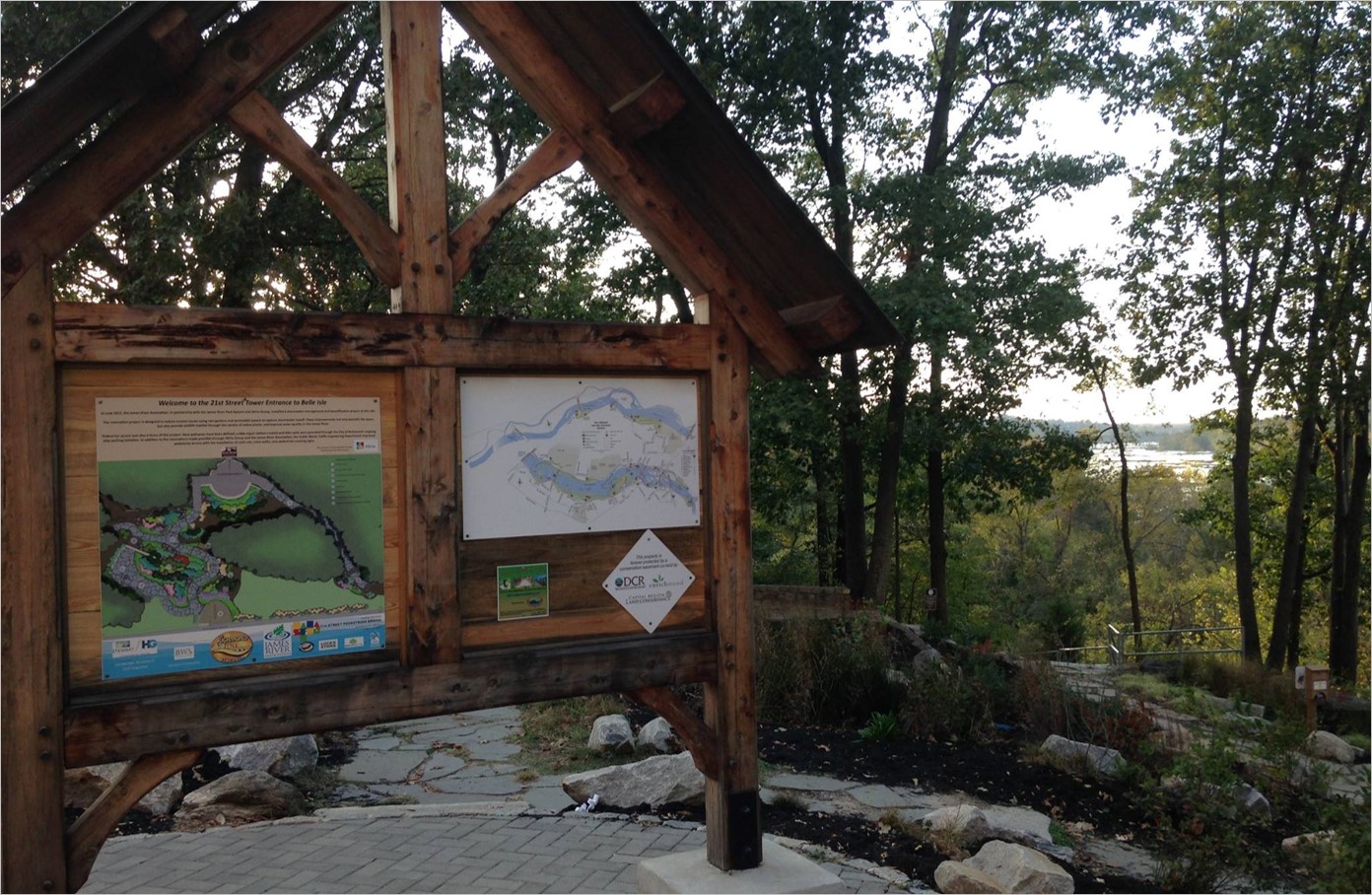 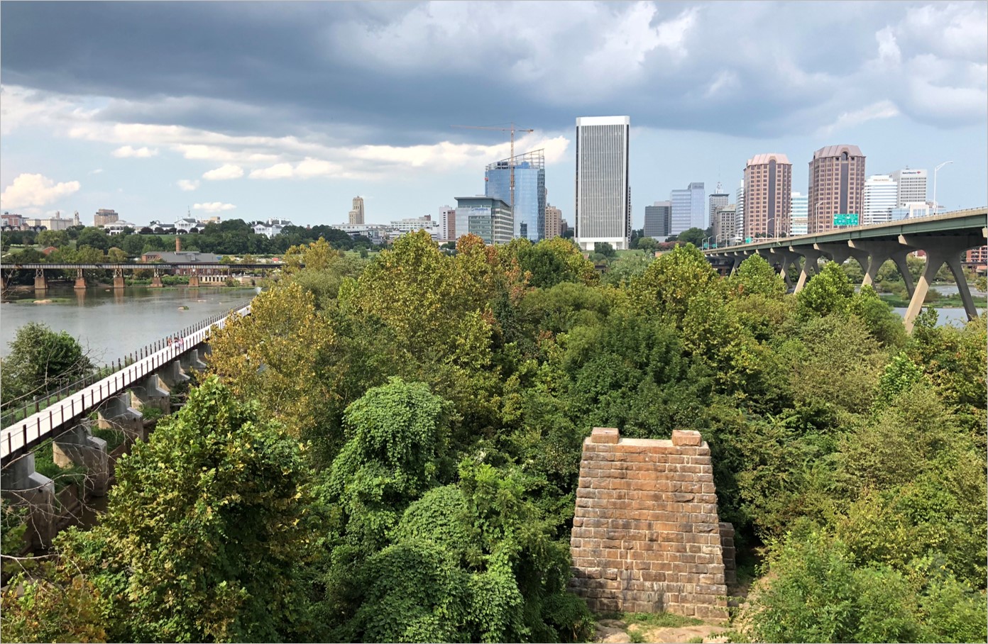 | ||||||||||
| Waddle Property | Farmland Preservation | FY25 | 850.00 | Smyth County | Virginia Outdoors Foundation | Private | Virginia Outdoors Foundation | 36.772834 | -81.690469 | The Greg and Kyli Waddle Property project seeks to secure a conservation easement on 850 acres of working farmland in Smyth and Washington Counties, to be held by Virginia Outdoors Foundation. The project will protect karst geology, as it contains nearly 200 mapped sinkholes within a few hundred feet of the Middle Fork Holston River, which is a potential State Scenic River and contains designated Conservation Sites. The property supports Loggerhead Shrike (a state threatened bird) and habitat for Bobolink (a rare bird). The farm is a working cow and calf operation, with land in pasture, hay, and corn production. The landowners have previously donated easements to VOF on adjacent property, which will result in a block of more than 2,000 acres of conserved working farmland. |
  | ||||||||||
| Waid Recreation Area | Open Spaces and Parks | FY01 | 134 | Franklin County | Franklin County | Local | Franklin County | 36.97133615 | -79.942076 | A $126,255 grant was awarded to the County of Franklin for the acquisition of 134 acres contiguous to the County's Waid Recreation Area/Park. The project provides an additional 4,000 feet of frontage on the Pigg River and protects an additional 3,000-feet of the historically significant Carolina Road, which runs through Waid Park. https://www.playfranklincounty.com/facilities/facility/details/Waid-Park-2 |
| Wainbur Farm | Farmland Preservation | FY15 | 166.74 | Fauquier County | Fauquier County | Private | Fauquier County | 38.61556218 | -77.676686 | Fauquier County Agricultural Development Department received funding for the purchase of a conservation easement on 167 acres in Fauquier County on the Wainbur Farm near Calverton. All crops grown on the property support the 350-cow dairy operation. Most of the property is either prime farmland or statewide important soils. In addition to cattle grazing fields being fenced out to protect water quality, the entirety of Wainbur Farm's 4,000-foot border with Licking Run is protected by a 35 foot vegetative buffer. The VLCF grant award of $90,000was matched by Fauquier County PDR program funding. |
| Ware Creek Preserve Acquisition | Open Spaces and Parks | FY15 | 1071 | New Kent County | Virginia Department of Game and Inland Fisheries | State | Virginia Department of Game and Inland Fisheries | 37.4452405 | -76.772053 | The Virginia Department of Game and Inland Fisheries (DGIF) received a grant award of $100,000 to assist in acquiring and preserving the 1,071-acre Ware Creek Preserve property in New Kent County. This project presents an extraordinary and rare opportunity to protect substantial acreage and a vast wetlands complex in an area of the Commonwealth that is experiencing rapid growth and development. This project contributes to an ongoing initiative to create a matrix of 2,683 acres of contiguous protected land, truly a landscape-scale conservation project. This parcel is now managed as a state Wildlife Management Area (WMA), retaining in perpetuity significant nesting, staging, and wintering habitat for migratory birds, important nursery habitat for fisheries, and habitat for threatened and endangered species. Public access hunting, fishing, wildlife watching, and boating are allowed on the property. https://dwr.virginia.gov/wma/ware-creek/ |
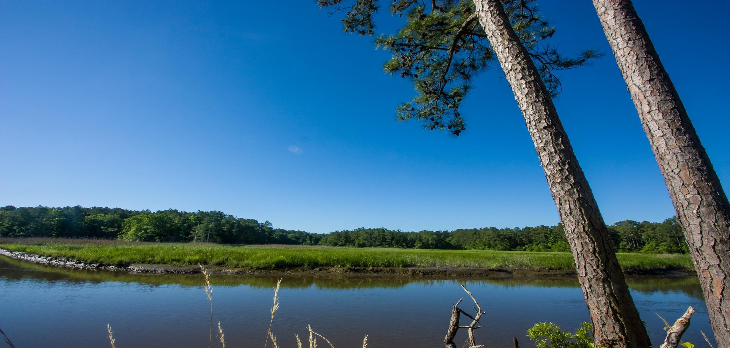 | ||||||||||
| Welbourne Farm | Farmland Preservation | FY00 | 507 | Loudoun County | Virginia Outdoors Foundation/Virginia Department of Historic Resources | Private | Virginia Outdoors Foundation | 38.991963 | -77.81324 | A $308,250 grant was awarded to the Virginia Outdoors Foundation to purchase a conservation easement on a working farm that may have otherwise been developed as a subdivision. The project preserved farmland, protected water quality and the viewshed from the historic Welbourne manor house and from Goose Creek. |
| Welch-Penden Tract at Glendale Battlefield | Historic Area Preservation | FY24 | 12.46 | Henrico County | Virginia Board of Historic Resources | Private | American Battlefield Trust | 37.44436 | -77.255909 | The Trust seeks to preserve the 12.46-acre Welch-Penden Tract in Henrico County via fee acquisition and the recordation of an open-space easement to be held by the Virginia Board of Historic Resources. The Welch-Penden Tract is located entirely within the Core Area of the Glendale Battlefield, a Priority I.3 (Class B) battlefield as defined by the 1993 Civil War Sites Advisory Commission Report on the Nation's Civil War Battlefields. The Welch-Penden Tract consists of two unimproved contiguous parcels at the southwest corner of Carters Mill Road and Darbytown Road. The property is fully wooded and undulating in topography. Following acquisition, the Trust intends to steward the Welch-Penden Tract until the easement is recorded. The Trust will then install interpretive signage (if funding permits) and offer periodic tours upon request. Eventually, the Trust may transfer the property to a conservation partner for long-term stewardship. |
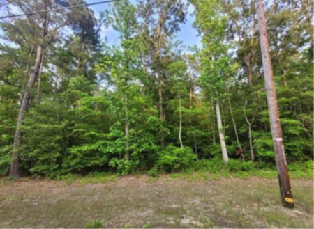 | ||||||||||
| Werowocomoco Archaeological Site | Historic Area Preservation | FY12 | 57.58 | Gloucester County | National Park Service | Virginia Department of Historic Resources | 37.41041697 | -76.655773 | Virginia Department of Historic Resources was awarded $80,000 for the purchase of an easement over 57.58 acres of property containing the Werowocomoco archaeological site, acknowledged to be the location of paramount chief Powhatan's village and the political and spiritual center of the Powhatan tribal confederacy. Captain John Smith's diaries indicate that this is likely the location where his life was saved by Powhatan's daughter Pocahontas. Archaeological investigations have identified a heavily-occupied settlement that retains a remarkable level of physical and scientific integrity. Easement of the property has allowed for preservation of a site equal in importance to historic Jamestowne, as well as preservation of scenic open space and York River waterfront. Other funding for the project included the Sandra Speiden Trust and Historic Area Preservation Fund. The property is now owned by the National Park Service and the easement area is part of the Captain John Smith Chesapeake National Historic Trail. https://www.dhr.virginia.gov/historic-registers/036-5049/ | |
   | ||||||||||
| West Woods | Open Spaces and Parks | FY16 | 30.79 | Frederick County | Virginia Department of Historic Resources | Private | Shenandoah Valley Battlefields Foundation | 39.19092921 | -78.131766 | Shenandoah Valley Battlefields Foundation was awarded a grant of $123,000 to help purchase 31 acres to be added to SVBF's Third Winchester Battlefield Park, a 572-acre block of contiguous protected land in Frederick County that is open to and interpreted for the public. The project now helps protect a wildlife corridor and historic site from planned commercial development. The property, which is part of a commercial shopping center, was recently under contract to WalMart. |
| Westervelt/TNC Acquisition | Forestland Preservation | FY15 | 1964.98 | Sussex County | Virginia Department of Game and Inland Fisheries | State | Virginia Department of Game and Inland Fisheries | 36.93758373 | -77.119007 | Virginia Department of Game and Inland Fisheries received a grant award of $100,000 to contribute to the fee acquisition of a 1,964-acre property to add to a network of contiguous protected habitat that includes the existing Big Woods Wildlife Management Area, Big Woods State Forest, and Piney Grove Preserve (total of ~7,700 acres). The property is entirely forested, 84% of it classified as high forest-conservation value. The tract has potential to support the rare pine savannah forest type and may increase the footprint of longleaf pine restoration efforts in the Commonwealth. The property contributes to one of the most intact coastal-plain stream systems in eastern Virginia. Multiple wildlife species of greatest conservation are benefitting from this acquisition. The parcel allows for full public use and provide expanded outdoor recreational opportunities to over 1.5 million people located within a 45-mile radius of the property, including hunting, wildlife viewing, hiking and other wildlife-related and outdoor activities. |
 | ||||||||||
| Whitby Tract at Second Deep Bottom Battlefield | Historic Area Preservation | FY24 | 8.87 | Henrico County | Virginia Board of Historic Resources | Private | American Battlefield Trust | 37.453557 | -77.287067 | The Trust seeks to preserve the 8.87-acre Whitby Tract in Henrico County via fee acquisition and the recordation of an open-space easement to be held by the Virginia Board of Historic Resources. The tract is located entirely within the Core Area of the Second Deep Bottom Battlefield, a Priority I.3 (Class B) battlefield as defined by the 1993 Civil War Sites Advisory Commission Report on the Nation's Civil War Battlefields. The topography of this four-parcel tract is level and its natural features include 8 acres of woods. The property also includes 600 feet of undocumented earthworks. Following acquisition, the Trust intends to steward the tract until the easement is recorded; the Trust will then demolish the non-historic structures if required by DHR, install interpretive signage (if funding permits), and offer periodic tours. Eventually, the Trust may transfer the property to a conservation partner for long-term stewardship. |
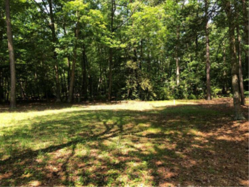 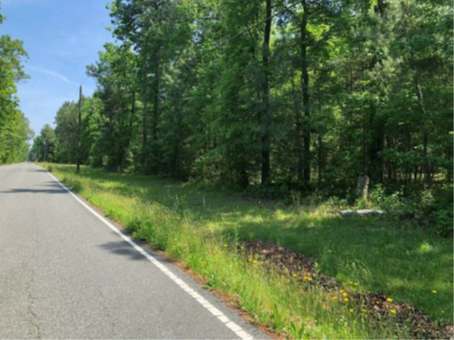 | ||||||||||
| White Easement | Forestland Preservation | FY18 | 618 | Southampton County | Virginia Department of Forestry | Private | Virginia Department of Forestry | 36.5601225 | -77.217694 | This grant award of $50,000 to Virginia Department of Forestry funded the partial purchase of an open space easement to protect 618 acres of forest and farmland in Southampton County. The property contains nearly a mile and a half of frontage along a stretch of the Meherrin River that has been identified as worthy of study as a state-designated Scenic River. The project contains 450 acres of forestland, most of it classified as high forest conservation value. The property supports occurrence of two natural heritage resources associated with wetlands, which are protected by the easement. In addition, the project safeguards the river frontage and nearly 10,000 feet of streams that flow directly into the river. |
   | ||||||||||
| White's Ford Regional Park | Open Spaces and Parks | FY09 | 295 | Loudoun County | Northern Virginia Regional Park Authority | Local | Northern Virginia Regional Park Authority | 39.19327324 | -77.485268 | Northern Virginia Regional Park Authority was awarded a grant of $150,000 to assist in the acquisition of 294 acres on the Potomac River in Loudoun County for development into a public park. The property contains a Civil-War era historic house and complex. The riverfront and a tributary on the property are surrounded by wooded buffers. Development of the public park has begun with a parking area and a boat launch. Future planned park amenities may include related concessions, equestrian and nature trails, picnic shelters, camping, historic interpretation of the area, and a visitor center. |
| Whitehall Trail Easement | Open Spaces and Parks | FY12 | 17.34 | Spotsylvania County | Spotsylvania County | Private | Spotsylvania County | 38.27860225 | -77.662821 | Spotsylvania County received VLCF funding to acquire a public access recreational trail-way easement along a two-mile portion of the abandoned Virginia Central Railroad right-of-way. The trail-way corridor follows the Virginia Central Corridor, eventually connecting the City of Fredericksburg to Orange County through Spotsylvania County. With assistance of the VLCF grant award of $24,762, the trail segment is a multi-use recreational trail serving bicycle, pedestrian, and equestrian users. |
  | ||||||||||
| Whitt-Riverbend Park | Open Spaces and Parks | FY01 | 28 | Giles County | Town of Pearisburg | Local | Town of Pearisburg | 37.31852698 | -80.681487 | An $110,000 grant was awarded to the Town of Pearisburg for the acquisition of a 27.7 acre park with 4,000 linear feet of frontage on the New River and an additional 400 linear feet along Walker Creek. Future outdoor recreational opportunities include boating access, riverbank fishing, primitive overnight camping, a 1.25 loop trail, and picnicking. https://pearisburg.org/town_facility_rentals/community_center_fullbuilding.php |
| Wilderness Road Connectivity Property (withdrawn) | Open Spaces and Parks | FY20 | 241.8 | Lee County | Virginia Department of Conservation and Recreation | State | Virginia Department of Conservation and Recreation | 36.646903 | -83.527543 | This grant to acquire a 242-acre addition to Wilderness Road State Park would have enhanced environmental education, outdoor recreation, wildlife viewing, hiking and natural and cultural history opportunities for visitors to the park located in Ewing, Virginia. Additionally, this project would create an opportunity to develop connectivity with the Chadwell Gap Trail on the Cumberland Gap National Historical Park, because the property is contiguous to both current park property boundaries. DCR identified connectivity from the state park to the trail system of Cumberland Gap National Historical Park as a priority in Wilderness Road State Park’s 2014 master plan update. This project was withdrawn. |
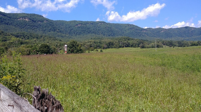 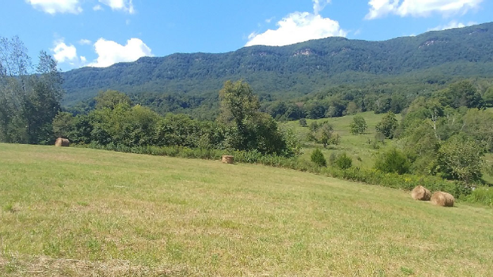 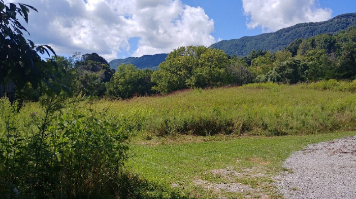 | ||||||||||
| William Long Farm | Farmland Preservation | FY25 | 69.25 | Stafford County | Stafford County | Private | Stafford County | 38.315661 | -77.347092 | Stafford County was awarded funding for the placement of a conservation easement on the William Long Farm under the County Purchase of Development Rights (PDR) Program. The property totals 69.25 acres and the primary land use is forested. The easement will protect soils of statewide importance; 60 acres of mixed forestland; environmental features, including 4,950 linear feet of forested perennial streams, 4.1 acres of wetlands, and 100-year floodplain; and important wildlife habitat. The property falls within an Ecological Core and has predictive suitable habitat for Threatened and Endangered species and DWR Species of Greatest Conservation Need and is located within a wildlife biodiversity resilience corridor in DWR's Wildlife Corridor Action Plan. The farm is adjacent to other conserved lands under easement with Stafford County through the County PDR Program. The property is located along Bethel Church Road, a rural public road, providing visual access to the traveling public. |
  | ||||||||||
| Williams Wharf Landing | Open Spaces and Parks | FY01 | 0.4 | Mathews County | Virginia Department of Conservation and Recreation | Local | Mathews County Land Conservancy | 37.40358243 | -76.34578 | A $36,300 grant was awarded to Mathews County Land Conservancy for the acquisition of 0.4 acres of land contiguous to Williams Warf Landing. The combined sites provide public access and recreation opportunities for small engine watercraft access to area water trails via the East River. The site also now provides launching for kayaking and canoeing. https://www.virginia.org/listing/williams-wharf-landing/4737/ |
| Wilson Hollow-New River Trail Expansion | Open Spaces and Parks | FY26 | 239.00 | Grayson County | New River Soil and Water Conservation District | Local | New River Soil and Water Conservation District | -81.014276 | 36.646953 | The New River SWCD was awarded a VLCF grant to acquire and protect Wilson Hollow, two tracts totaling 239-acres in Grayson County. This project will provide new public access for recreational boating, fishing and wildlife viewing, hiking, and nature-based photography – and will provide an important opportunity to secure public access for a historically economically depressed and socially vulnerable region of Virginia, while protecting significant natural resources. The property contains a diverse mix of forestland, water resources, and open grassland habitats that support a wide variety of wildlife species. The New River SWCD, as the owner and operator, would protect these resources by protecting native plant species, removing invasive species and correcting other environmental disturbances, as well as maintaining 1,000’ forested riparian buffers along 14,080 feet of streams and river frontage. Additionally, the New River SWCD commits to continue to raise awareness and promote educational opportunities of these essential ecosystems for their community. |
   | ||||||||||
| Windfield Farm | Farmland Preservation | FY26 | 126.63 | Clarke County | Clarke County | Private | Clarke County | -77.906975 | 39.110298 | Clarke County Conservation Easement Authority received a $200,000 VLCF grant to place an easement over Windfield Farm in Clarke County. The farm has been owned by the same family for more than 44 years. The 127 acres of farm and forestland are currently managed under a forest management plan, and an Agricultural Conservation Plan is under development with the local Soil and Water District. Almost half of the soils on the property are prime or important farmland with 60 acres in forestal use. The property contains 10 acres of wetlands from an oxbow and ½-mile of frontage along the Shenandoah River, a designated state scenic river. The Department of Historic Resources has an established Native American archaeological site on file for this property and the Division of Natural Heritage identified potential habitat for a rare isopod and plant, as well as the Department of Wildlife Resources showing potential habitat for the rare Northern Long-eared bat and the Wood Turtle. Protection of this property is supported by the County Comprehensive Plan for protection of karst terrain, steep slopes, and areas along the Shenandoah River. |
   | ||||||||||
| Wingfield Cosby Tract Acquisition (withdrawn) | Forestland Preservation | FY17 | 572 | Louisa County | Virginia Department of Forestry | 37.91223406 | -77.814223 | The Virginia Department of Forestry received a VLCF grant to support the fee-simple purchase of 572 acres of forestland in Louisa County as a new State Forest. In addition to providing local outdoor recreational opportunities, the property is located within an hour of the population centers of Richmond, Charlottesville, and Fredericksburg. Once initial basic infrastructure improvements are made, the property will be fully available to the public for all forms of outdoor recreation, meeting the "most-needed goals" identified for this area in the Virginia Outdoors Plan. The property is entirely forested, 94% of which is considered high forest conservation value and all of which will be protected as a State Forest. In total, the property contains approximately one mile of streams that will be protected by permanent forested buffers. This project received a grant award of $170,412. This project was withdrawn. | ||
| Woodworth Cottage | Historic Area Preservation | FY23 | 0.26 | Shenandoah County | Virginia Board of Historic Resources | Private | Shenandoah Valley Battlefields Foundation | 38.647507 | -78.672538 | The Woodworth Cottage is located in the Town of New Market in Shenandoah County and is a contributing resource to the New Market Historic District. The property is a 0.26 acre lot with a 3,468 square foot building constructed between 1865 and 1867. The property was owned by Jessie Hainning Rupert, a teacher, who taught white children in the building during the day in what was called the “Cottage Institute,” and African American students at night in what was called the “Woodworth Cottage.” A Union sympathizer and abolitionist during the war, Jessie was not well liked in New Market and few in town would associate with her. There was very little support for her school and the opposition of the school from the whites in town caused attendance to decrease. Eventually, due to the lack of funding and the establishment of Virginia’s free school system, Jessie closed the school in 1870. Today, the property is vacant and will soon be listed for sale. The Foundation is requesting VLCF funds to acquire the property, and will convey a historic preservation and open-space easement to the Va. Board of Historic Resources. The Foundation plans to use the first floor as a museum and exhibit on the role of women and African American’s during the Civil War and Reconstruction. |
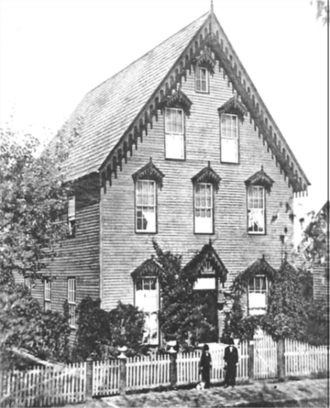 | ||||||||||
| Working Forests Between Battlefields | Forestland Preservation | FY25 | 797.80 | Dinwiddie County | Virginia Department of Forestry | Private | Virginia Department of Forestry | 37.126376 | -77.564203 | This project will protect 797.8 acres of timber lands and protect connectivity of a rural landscape situated between three Civil War battlefields in Dinwiddie County via conservation easement. The land supports water quality, wildlife habitat, and scenic views from the East Coast Greenway. The landowners have owned this property since 2004 and manage it according to a professional forest management plan. The landowners have turned down a solar company's offer in order to keep stewarding this forestland. The easement holder will be the Virginia Department of Forestry. The project aligns with the locality's comprehensive plan, the Virginia Outdoors Plan, and the Ward Burton Wildlife Foundation's efforts to protect the flight path between Ft. Barfoot and Ft. Gregg-Adams. |
 | ||||||||||
| Total: | 413 | |||||||||

